

This tornado touched down at 7:20 pm near Desboro and then tracked to the east, passing just north of Williamsford before striking Williams Lake. Its path was 21 km long and 200 metres wide.
Soon after its initial touchdown, the tornado struck and devastated a farm in Desboro owned by the Dietrich family. As it hit, the family huddled in a cellar while their farmhouse was ‘flattened’. The roof was torn off and the house destroyed, but fortunately the family emerged unscathed. Trees across the property were snapped and twisted, and at a neighbouring farm a large drive shed was swept away.
The tornado continued to the east, leaving a path of trees that were uprooted, snapped and shorn off at their tops. West and north of Williamsford, barns and outbuildings were flattened, farmhouses damaged and crops destroyed, but luckily it missed the town itself.
The cottage community at Williams Lake was not so fortunate; there, several cottages were damaged, two of which were demolished to the foundation and swept away. At one of those destroyed cottages owned by Rob Howard, he and his friend, Ken Osborne, were blown hundreds of metres out into the lake along with the debris from their home. As the tornado passed, they made their way through a field of floating debris and back to shore. There, they reportedly found articles of clothing scattered amongst the debris of wrecked cottages, and used T-shirts and underwear to tend to their cuts and lacerations. The two were hospitalized for their injuries but were lucky to have survived.
Witnesses captured photographs of the tornado, a slender elephant trunk that was backlit by the setting sun.
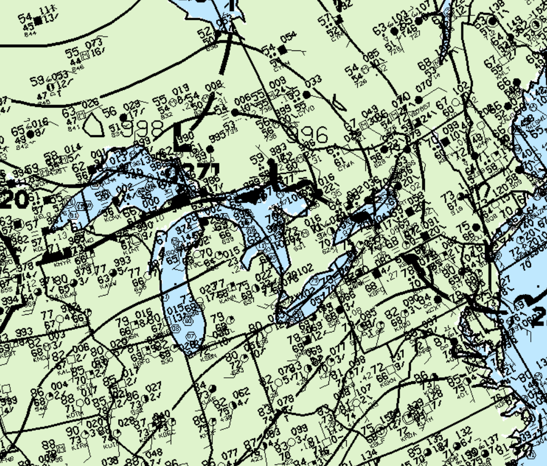
Figure 1 depicts the surface observations at 8:00 pm, which depicts a low pressure system over Georgian Bay with a warm front extending in south-central Ontario.
According to Environment and Climate Change Canada (2018), an F2 tornado touched down at 7:20 pm EDT near Williams Lake, ON. The tornado travelled for 21 km and had a maximum width of 200 metres. The tornado caused no fatalities or injuries, but caused $100 thousand dollars in property damage.
Sources
NWS Weather Prediction Center Surface Analysis Archive. (2017). Surface analysis 00Z Sat Aug 16 1997. Retrieved from: https://www.wpc.ncep.noaa.gov/archives/web_pages/sfc/sfc_archive.php
Environment and Climate Change Canada Data. (2018). Canadian National Tornado Database: Verified Events (1980-2009) – Public. Retrieved from: http://donnees.ec.gc.ca/data/weather/products/canadian-national-tornado-database-verified-events-1980-2009-public/