

Published on
Storm Prediction Center Outlook: Enhanced Risk
Target: Central Kansas
Due to work restrictions, the team left Wichita around 4 pm with Central Kansas in mind. Storms were developing over Wichita at 4, so we opted to see what may develop close to home, knowing full well we wouldn’t be in time for any storms northwest of Salina, or along I-70 near Topeka.
Our first opportunity at a supercell came shortly after 6 pm as it developed over West Wichita. We positioned ourselves near Park City for intercept. The storm produced several funnels, but nothing persistent.
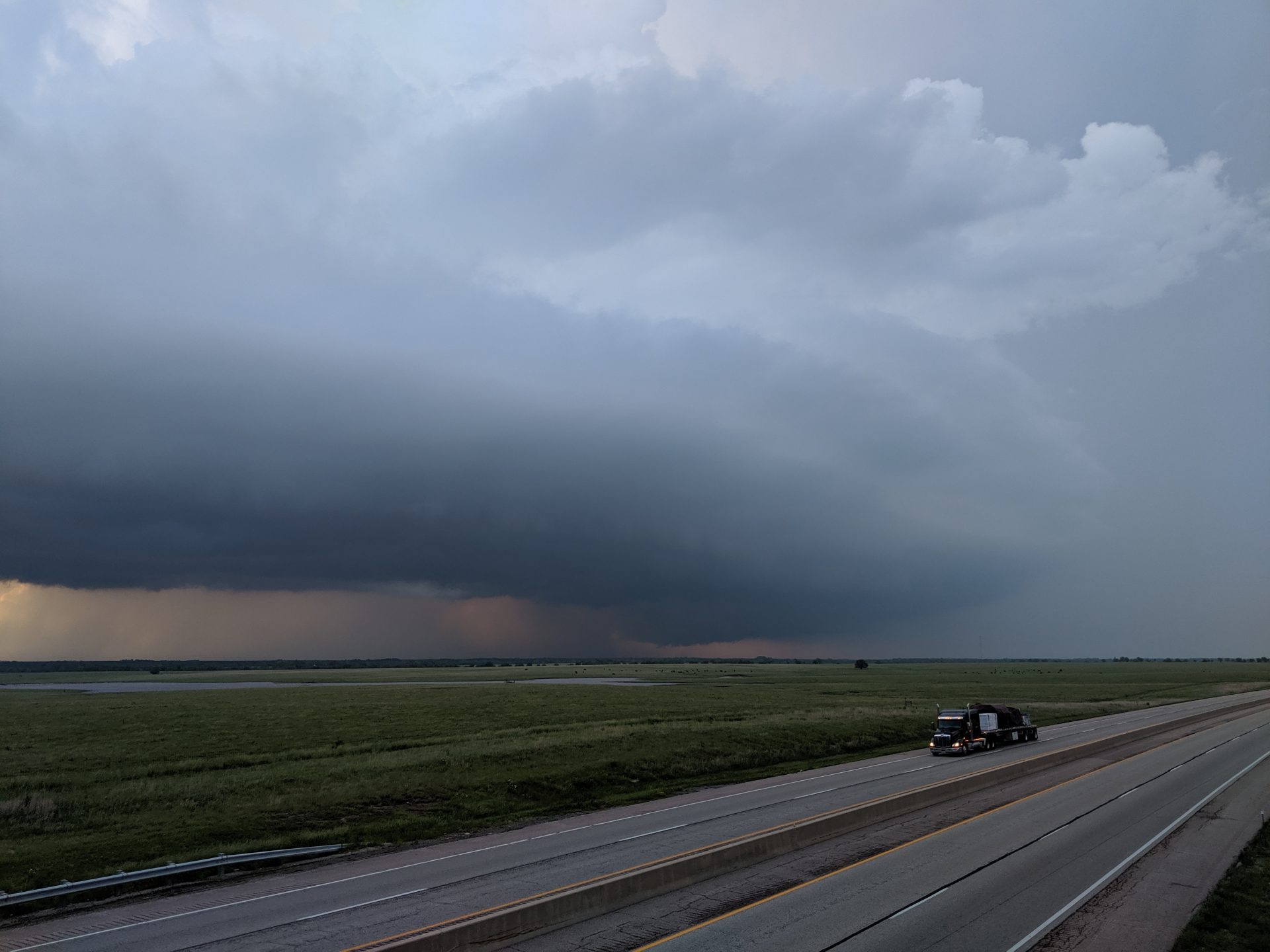
We followed the storm until it moved over the Flint Hills close to sunset. It was still severe, producing greater than quarter sized hail, but given the limited road network, we opted to let it go. However, it did make for a pretty sunset.
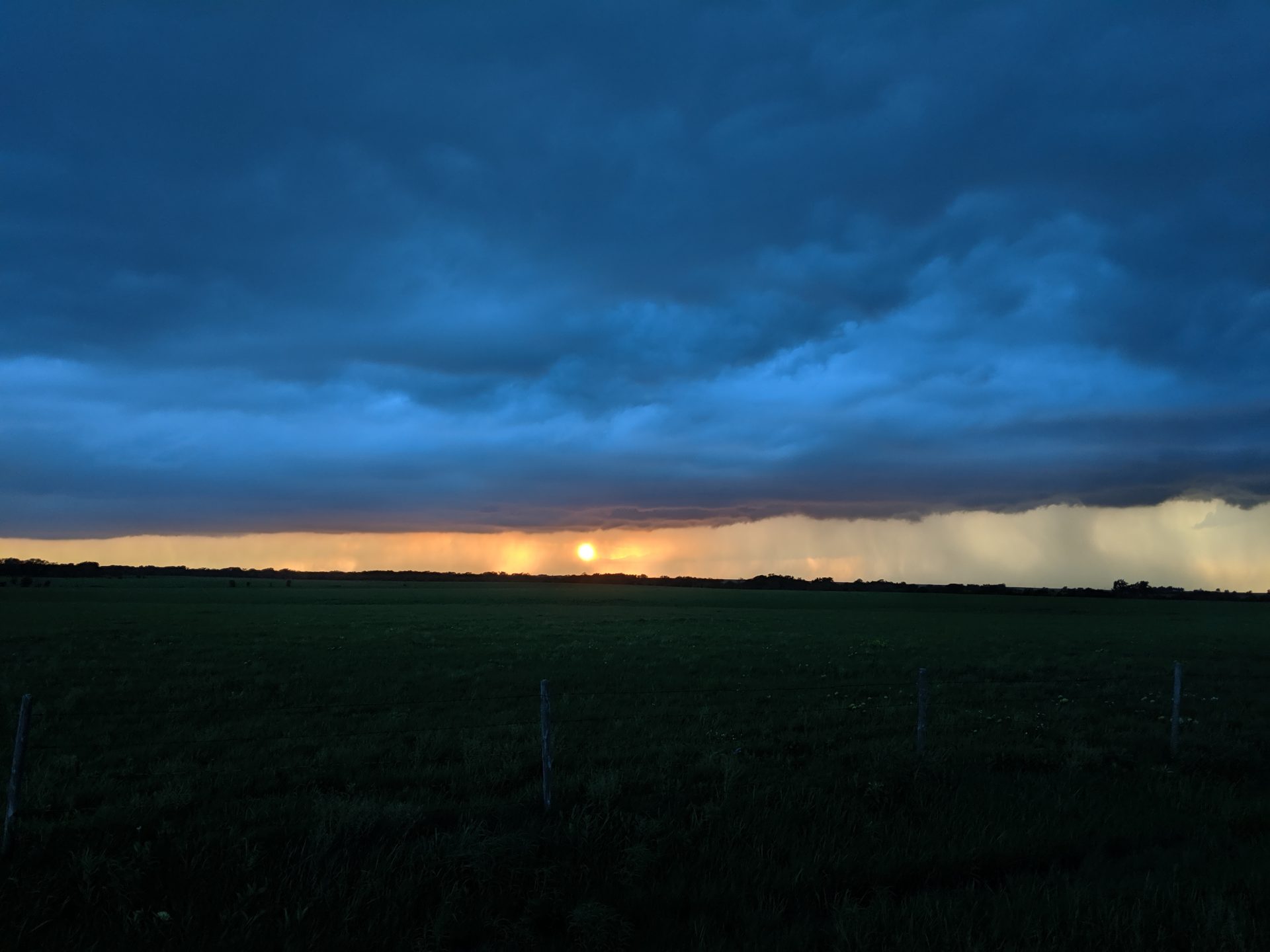
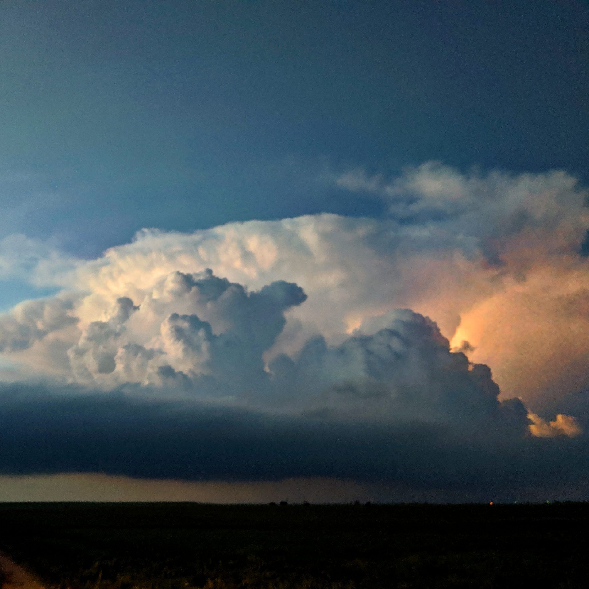
As we headed back to Wichita for the evening, the sky was incredible. Cameras couldn’t do it justice on just how cool the storm looked.
Community Comments
There are no comments on this post
Want to leave a comment? Join our community → OR Login →