

This tornado occurred at approximately 5:50 pm and caused extensive tree and property damage along the shores of Grindstone Lake, to the north of Plevna in Eastern Ontario. Originally thought to be a straight-line wind event, Environment Canada was able to confirm the F0 tornado after eyewitness video surfaced that showed the twister swirling across the water and onto the forested shoreline.
Below is a collection of pictures from the community impacted by this tornado. The original images can be seen here.

The tornado touched down in the forest on the west side of the lake, striking cottages as it tracked across the south shore of a broad peninsula. As it moved out over water, it raised a large column of spray that towered into the air, then narrowly passed between two small islands. On the east side of the lake the tornado moved back onto land, inflicting damage as it again travelled across the south shore of another peninsula. Stunned cottagers captured video of the tornado, a large cone that was fully condensed to the surface, and they described tree branches and debris falling from the sky as it passed across Grindstone.
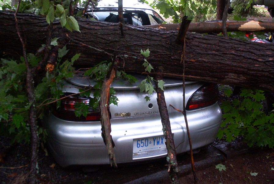
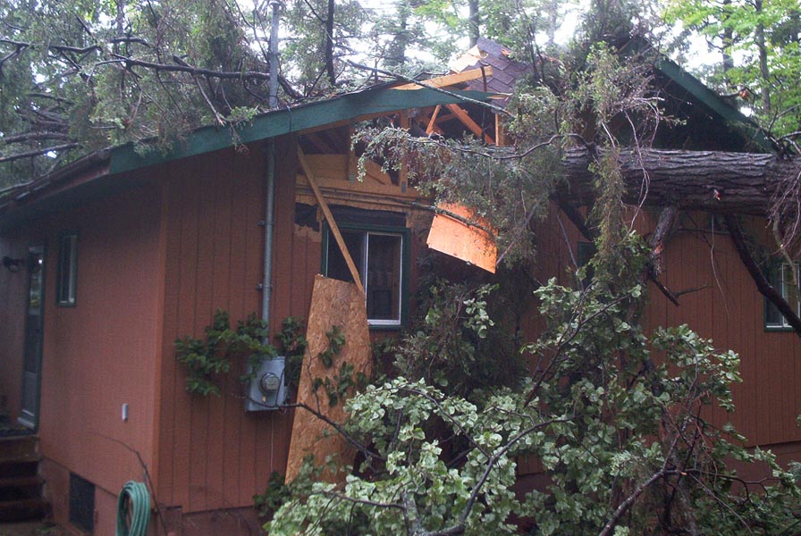
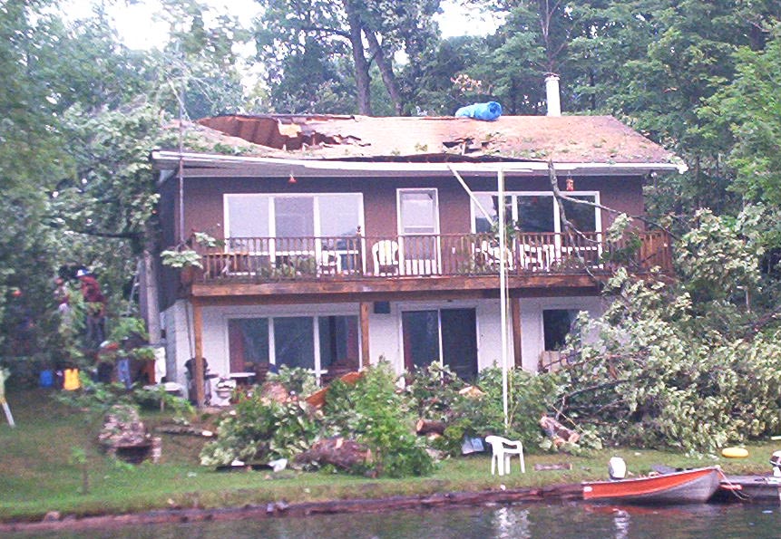
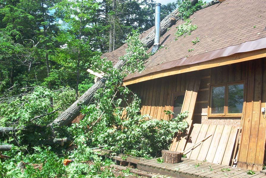
Around the lake, hundreds of trees were snapped, uprooted, and sent crashing onto vehicles and cottages that were severely damaged. In one, a couple of new parents snatched their baby from the crib just seconds before a tree came through the ceiling, shattering the crib. News reports suggested that cottages had been ‘blown away’ by the tornado, but it appears that these reports may have been exaggerated.
This was one of two twisters to occur in Ontario on June 29, 2003. The other
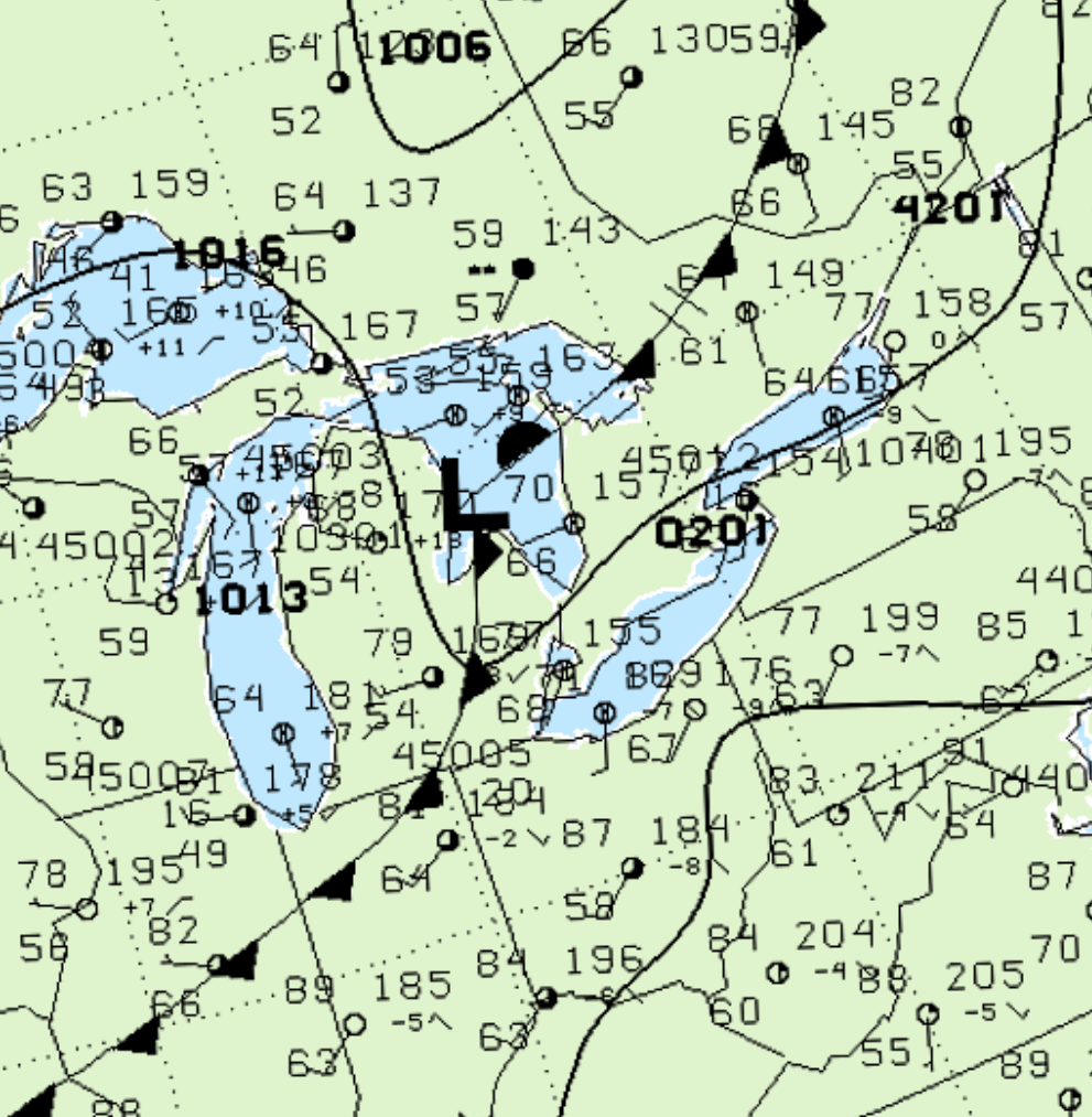
Figure 1 depicts the surface observations at 5:00 pm EDT, which shows a low pressure system sitting over Michigan’s ‘thumb’ with a cold front moving east across Michigan. The cold front became the focus for intense thunderstorms in the late-afternoon hours of June 29th as it moved east into southern Ontario.
According to Environment and Climate Change Canada (2018), an F0 tornado touched down at 5:50 pm EDT near Grindstone Lake, ON. The tornado travelled 1 km, but the width was not documented by ECCC. The tornado caused no fatalities or injuries, but caused $100 thousand dollars in property damage.
Sources
NWS Weather Prediction Center Surface Analysis Archive. (2017). Surface analysis 21Z Sun Jun 29 2003. Retrieved from: https://www.wpc.ncep.noaa.gov/archives/web_pages/sfc/sfc_archive.php
Environment and Climate Change Canada Data. (2018). Canadian National Tornado Database: Verified Events (1980-2009) – Public. Retrieved from: http://donnees.ec.gc.ca/data/weather/products/canadian-national-tornado-database-verified-events-1980-2009-public/