

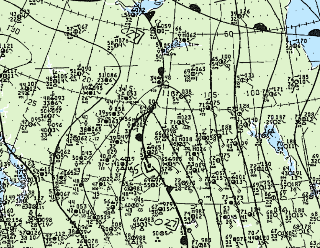
Figure 1 depicts the surface observations at 12:00 pm MDT, which shows a low pressure system across Southeastern Alberta with a stationary front extending north and south from the low. The starionary front became the focus for thunderstorm activity in morning hours of May 21st, which ultimately led to this tornado.
According to Environment and Climate Change Canada (2018), an F1 tornado touched down at 3:00 pm MDT near Bawlf, AB. The path and width of the tornado was not documented by ECCC.
Sources
NWS Weather Prediction Center Surface Analysis Archive. (2017). Surface analysis 18Z Wed May 21 1986. Retrieved from: https://www.wpc.ncep.noaa.gov/archives/web_pages/sfc/sfc_archive.php
Environment and Climate Change Canada Data. (2018). Canadian National Tornado Database: Verified Events (1980-2009) – Public. Retrieved from: http://donnees.ec.gc.ca/data/weather/products/canadian-national-tornado-database-verified-events-1980-2009-public/