

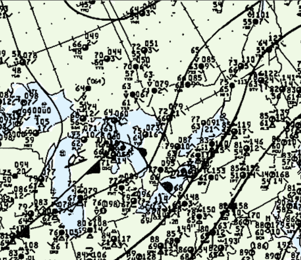
A warm front was seen moving northeast across Ontario (Figure 1) on June 29th. Later that evening, the warm front would be situated east of Lake Huron, bringing with it thunderstorms. The direction of the tornado’s track was estimated based on geopotential height and surface analysis available from this day. No information is known about the tornado itself.
According to Environment and Climate Change Canada (2018), an F0 tornado touched down at 11:30 pm EDT near Bracebridge, ON. The track and width of the tornado was not documented by ECCC. The tornado caused no injuries, fatalities or property damage.
Sources
NWS Weather Prediction Center Surface Analysis Archive. (2017). Surface analysis 21Z Mon Jun 29 1987. Retrieved from: https://www.wpc.ncep.noaa.gov/archives/web_pages/sfc/sfc_archive.php
Environment and Climate Change Canada Data. (2018). Canadian National Tornado Database: Verified Events (1980-2009) – Public. Retrieved from: http://donnees.ec.gc.ca/data/weather/products/canadian-national-tornado-database-verified-events-1980-2009-public/