

This probable F0 tornado was observed touching down east of Timmins, near the Iroquois Falls Airport in Northern Ontario, causing minor tree damage.
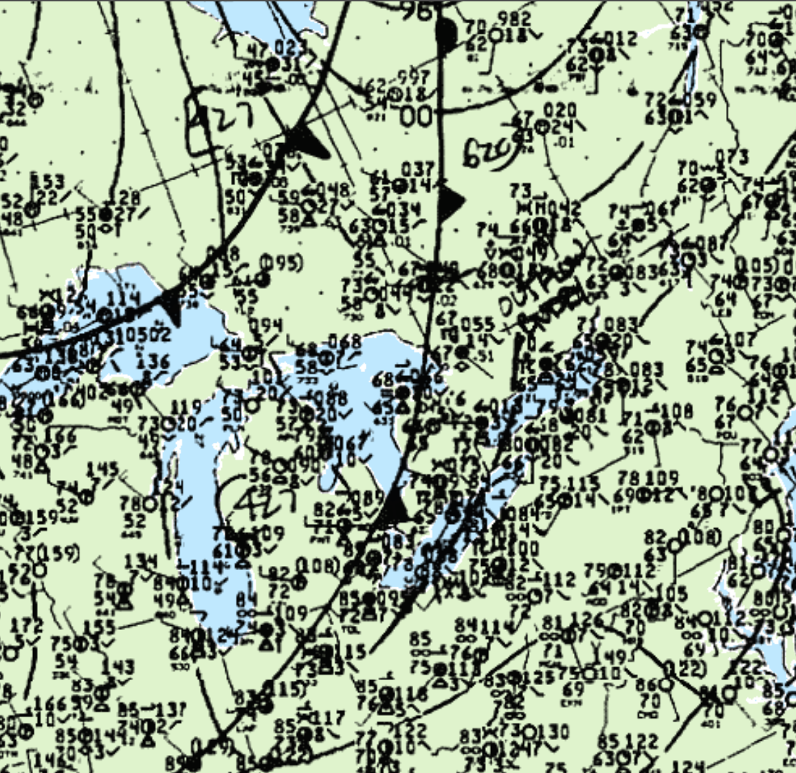
Figure 1 depicts a strong low pressure systems near James Bay, with a cold front extending south into Ohio. A trough of low pressure is also observed extending southwest towards the Great Lakes. This trough was responsible for triggering additional thunderstorms in north-central Ontario and ultimately this tornado.
According to Environment and Climate Change Canada (2018), an F0 tornado touched down at 7:49 pm EDT near Iroquois Falls, ON. The track and width of the tornado was not documented by ECCC. The tornado caused no fatalities, injuries or property damage.
Source
NWS Weather Prediction Center Surface Analysis Archive. (2017). Surface analysis 00Z Mon Aug 31 1992. Retrieved from: https://www.wpc.ncep.noaa.gov/archives/web_pages/sfc/sfc_archive.php
Environment and Climate Change Canada Data. (2018). Canadian National Tornado Database: Verified Events (1980-2009) – Public. Retrieved from: http://donnees.ec.gc.ca/data/weather/products/canadian-national-tornado-database-verified-events-1980-2009-public/