

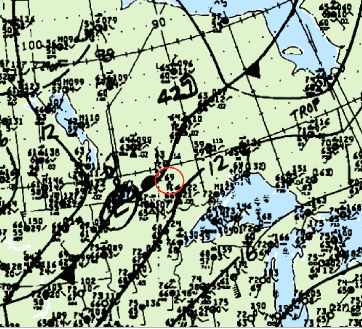
Figure 1 depicts the surface analysis on the morning of July 29th, showing a stationary front in northwest Ontario and a cold front slicing through the Dakotas. Figure 1 depicts a thunderstorm ongoing along the front, which is responsible for the tornado that impacted Pipestone Lake.
According to Environment and Climate Change Canada (2018), a tornado touched down 30 km east of Nestor Falls, ON. The track, width and time of the tornado was not documented by ECCC. The tornado caused no injuries, fatalities or property damage.
Sources
NWS Weather Prediction Center Surface Analysis Archive. (2017). Surface analysis 12Z Fri Jul 29 1988. Retrieved from: https://www.wpc.ncep.noaa.gov/archives/web_pages/sfc/sfc_archive.php
Environment and Climate Change Canada Data. (2018). Canadian National Tornado Database: Verified Events (1980-2009) – Public. Retrieved from: http://donnees.ec.gc.ca/data/weather/products/canadian-national-tornado-database-verified-events-1980-2009-public/