

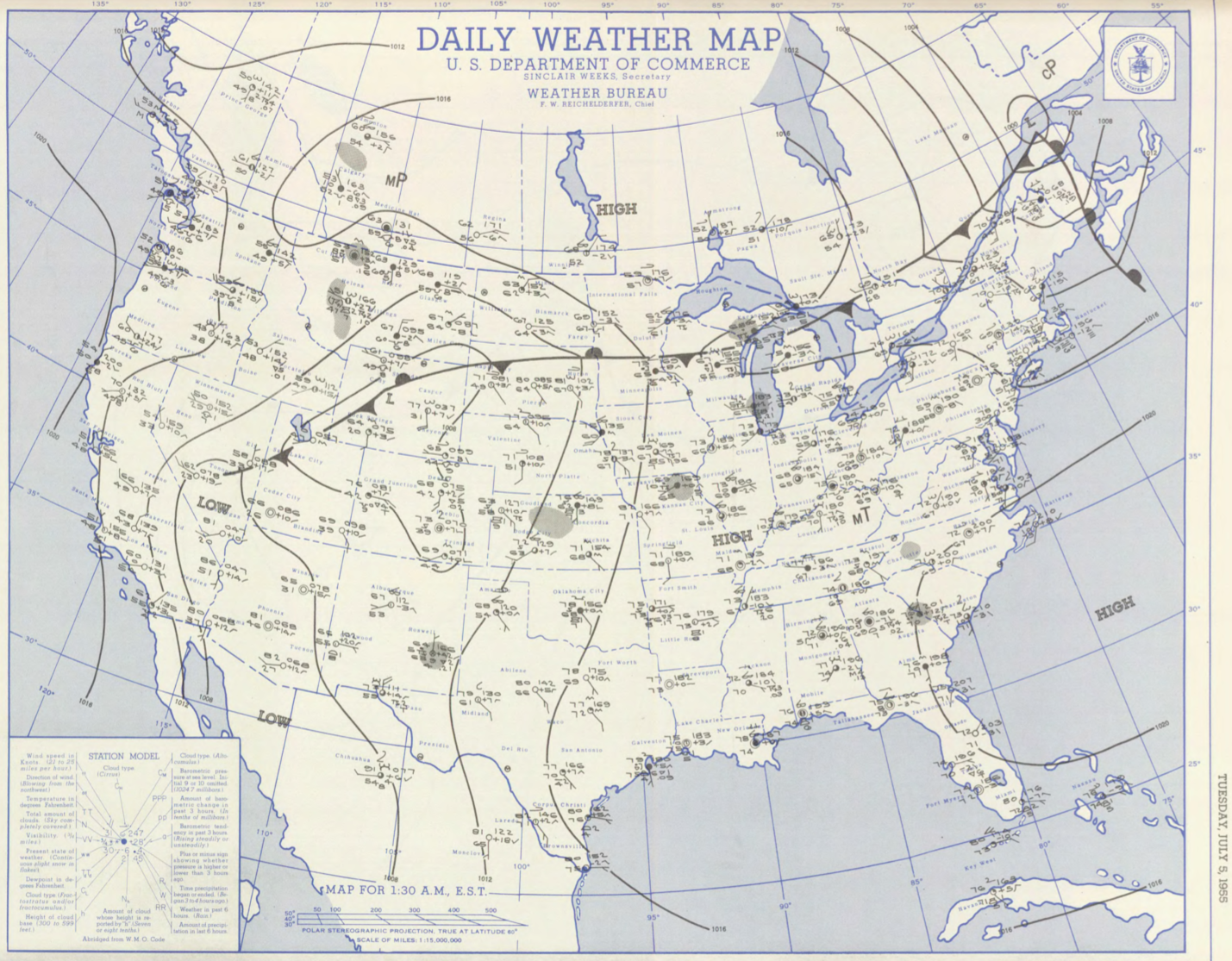
Figure 1 depicts the surface observations at 2:30 am EDT, which shows a cold front moving southeast across the Great Lakes. This front eventually moved toward Massachusetts and became the focus for intense thunderstorms, which ultimately led to this F2 tornado.
The Griswoldville, MA F2 tornado of July 5, 1955 impacted Franklin County in Massachusetts. According to NOAA (2019), the F2 tornado caused no fatalities or injuries, but caused $2.5 thousand dollars in property damage. The tornado touched down in Franklin County south of Plumtree Road at 7:00 pm EDT. The path of the tornado was not documented by the Weather Bureau, but it had a maximum width of 33 yards.
Sources
NOAA Central Library. (2019). U.S. Daily Weather Maps. Tuesday July 5, 1955 [PDF]. Retrieved from https://library.noaa.gov/Collections/Digital-Collections/US-Daily-Weather-Maps
NOAA National Centers for Environmental Information (2019). Storm Events Database. Retrieved from: https://www.ncdc.noaa.gov/stormevents/