

Published on
The day started as any chase day does – coordinate with the team to see when we can depart.
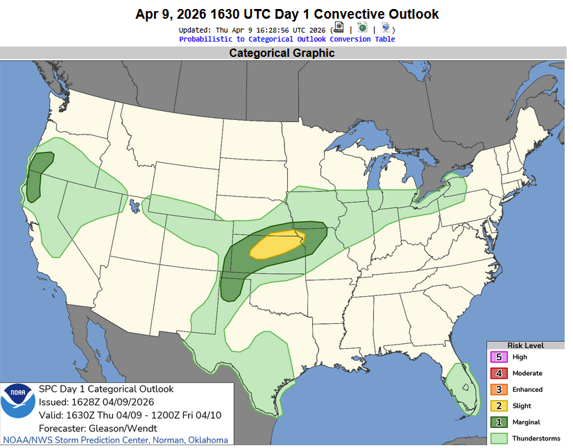
A Slight Risk, depicted by the Storm Prediction Center graphic below, was draped across central Kansas and off to the northeast. Our target: Salina, Kansas.
Arriving in Salina, the first storm of the day was already dropping hail near Great Bend, so we hopped west towards Ellsworth to set up for an intercept.
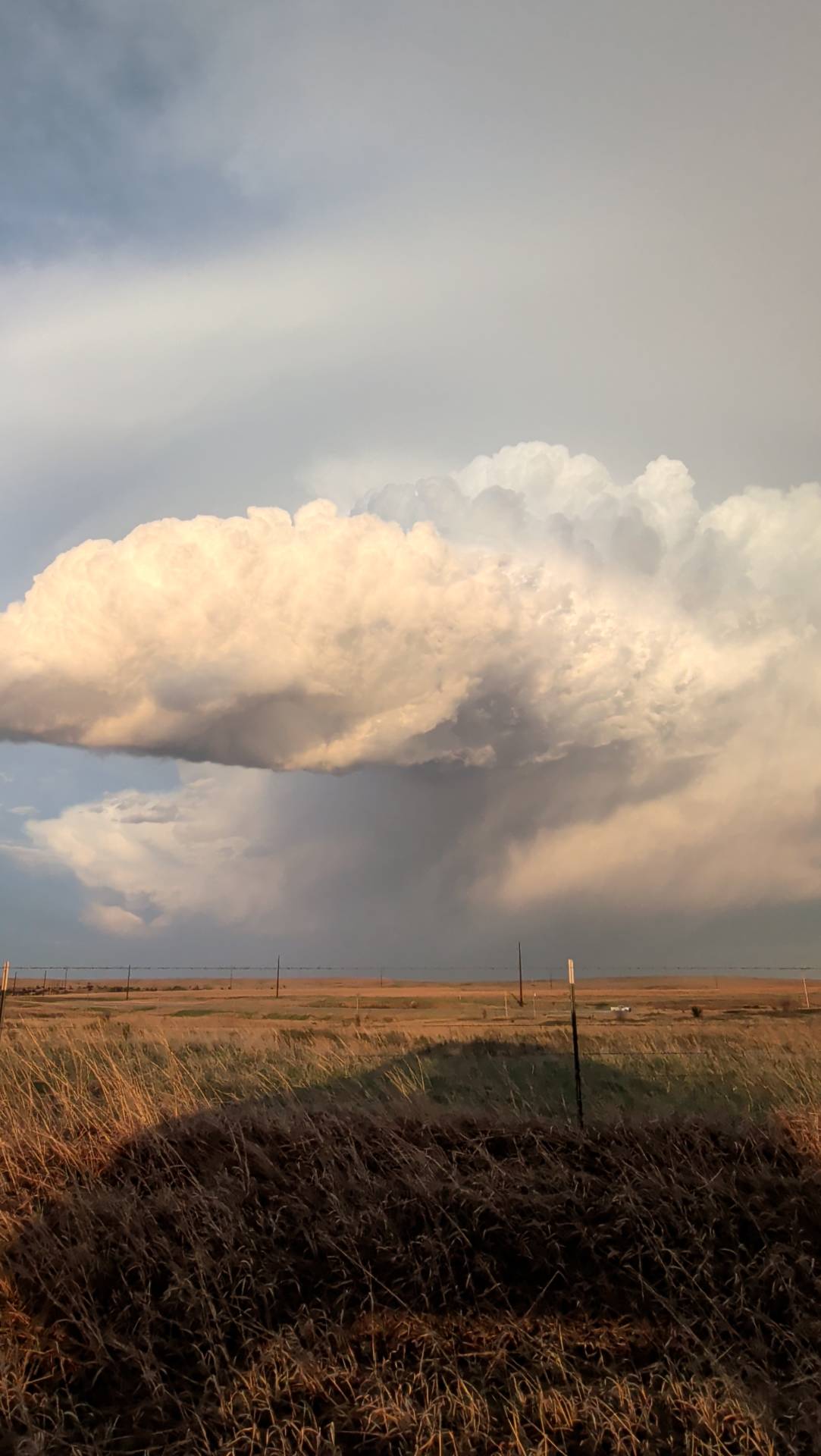
Just off to the southwest of Ellsworth, the storm was coming right toward our location. We intercepted about 4 miles north of Lorraine, Kansas.
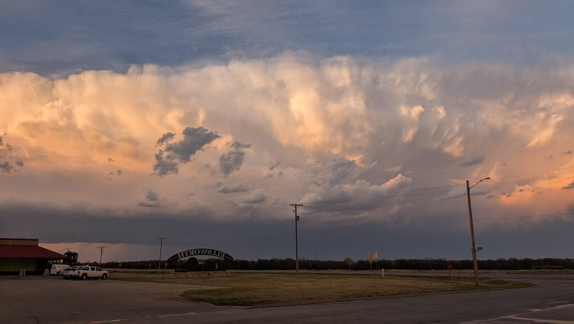
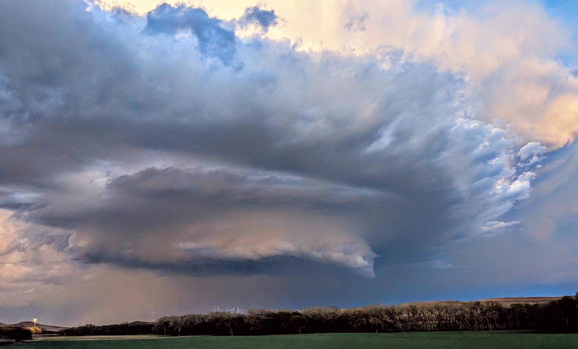
The storm was on a weakening phase, but made for an absolutely brilliant sky. Taken 6 miles southwest of Ellsworth, Kansas.
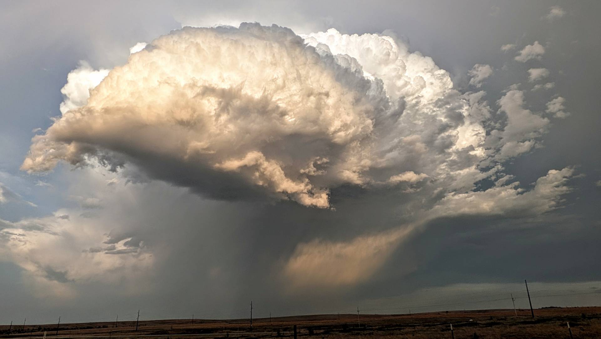
As the evening progressed, we took a look at a storm a little further north, in Lincoln County, which was producing larger than golfball sized hail.
At times, the storm showed some mid-level rotation, but tornadic activity was not expected, and did not happen. This storm went on to parallel I-70 near Salina just before and after sunset.
Community Comments
There are no comments on this post
Want to leave a comment? Join our community → OR Login →