This tornado touched down at 9:30 pm and had a path that was 16 km long and between 100m and 400m wide. A number of local residents witnessed the tornado which they described as being a multiple vortex, with two distinct funnels illuminated by flashes of lightning.
As it tracked through area farms, a number of barns were damaged, two of which were totally demolished with debris scattered through nearby fields. At one property, vehicles were moved around and a hay wagon was thrown 15m. Several farmhouses sustained minor damage to roofing and siding, a garage was destroyed and hundreds of trees were snapped and uprooted. Continuing on to the northeast, the tornado struck the Talisman Mountain Ski Resort, destroying a ramp and lift house and damaging a chairlift.
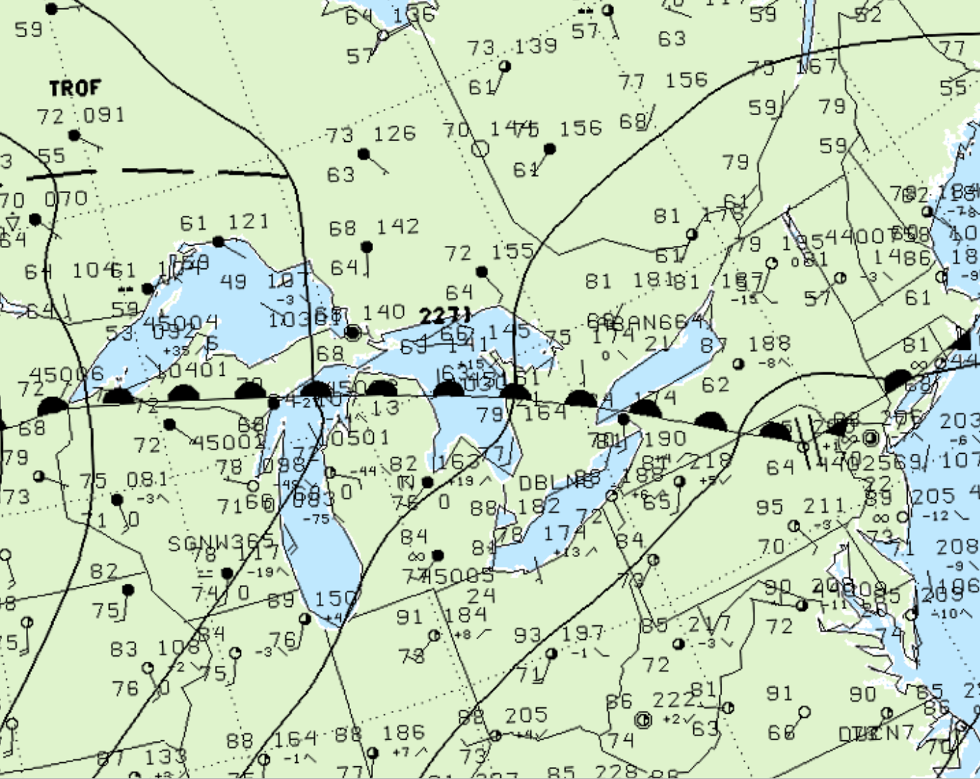
Figure 1 depicts the surface observations at 2:00 pm, which shows a warm front moving northwards across southern Ontario. This front became the focus for intense thunderstorms throughout the afternoon. As the front became nearly stationary, it ultimately led to this F2 tornado in the late evening hours.

According to Environment and Climate Change Canada (2018), an F2 tornado touched down at 9:30 pm EDT near Wodehouse, ON. The tornado travelled for 16 km with a maximum width of 100 metres. The tornado caused no fatalities or injuries, but caused $200 thousand dollars in property damage.
Sources
NWS Weather Prediction Center Surface Analysis Archive. (2017). Surface analysis 18Z Sat Jul 3 1999. Retrieved from: https://www.wpc.ncep.noaa.gov/archives/web_pages/sfc/sfc_archive.php
Environment and Climate Change Canada Data. (2018). Canadian National Tornado Database: Verified Events (1980-2009) – Public. Retrieved from: http://donnees.ec.gc.ca/data/weather/products/canadian-national-tornado-database-verified-events-1980-2009-public/

