

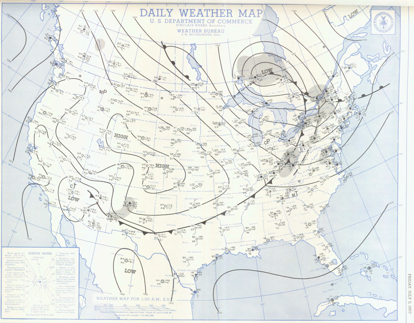
Figure 1 depicts the surface observations at 2:00 am EDT, which shows a cold front slicing through southern Ontario and a warm front advecting northward across the northeast United States. A line of thunderstorms (squall line) is also observed ahead of the cold front. The warm front was responsible for an early morning F1 tornado, but the squall line observed in Figure 1 later became responsible for this F2 tornado.
The Leominster, MA F2 tornado of July 5, 1957 impacted Worcester County in Massachusetts. According to NOAA (2019), the F2 tornado caused no fatalities or injuries, but caused $2.5 thousand dollars in property damage. The tornado touched down in Worcester County near Mill Street at 9:00 pm EDT. The tornado travelled for 0.5 miles and had a maximum width of 20 yards.
Sources
NOAA Central Library. (2019). U.S. Daily Weather Maps. Friday July 5, 1957 [PDF]. Retrieved from https://library.noaa.gov/Collections/Digital-Collections/US-Daily-Weather-Maps
NOAA National Centers for Environmental Information (2019). Storm Events Database. Retrieved from: https://www.ncdc.noaa.gov/stormevents/