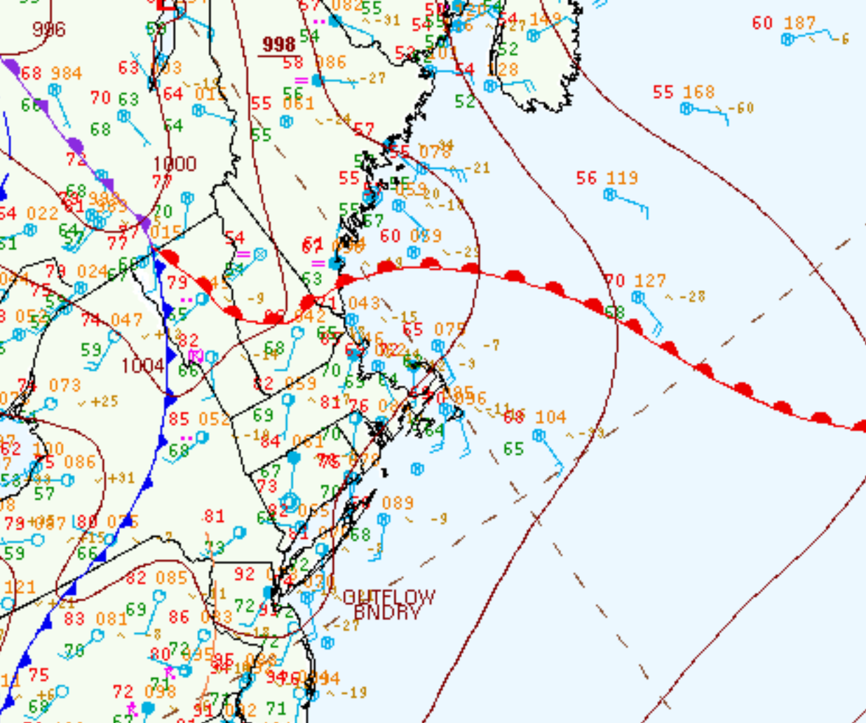
Figure 1 depicts the surface observations at 5:00 pm EDT, which shows a warm front across New Hampshire and a cold front slicing through the northeastern United States. Conditions became favorable for the development of thunderstorms across Massachusetts, which ultimately led to this tornado.

The Mantyranta, MA EF0 tornado of June 23, 2015 impacted Worcester County in Massachusetts. According to NOAA (2020), the EF0 tornado caused no fatalities or injuries, but caused $25 thousand dollars in property damage. The tornado touched down near West Princeton Road at 7:24 pm EDT. The tornado travelled for 0.52 miles and had a maximum width of 75 yards.

Sources
NWS Weather Prediction Center Surface Analysis Archive. (2017). Surface analysis 21Z Tue Jun 23 2015. Retrieved from: https://www.wpc.ncep.noaa.gov/archives/web_pages/sfc/sfc_archive.php
NOAA National Centers for Environmental Information (2020). Storm Events Database. Retrieved from: https://www.ncdc.noaa.gov/stormevents/


