first HIGH RISK chase including large hail, a CG barrage, and possibly even tornadoes!
Published on
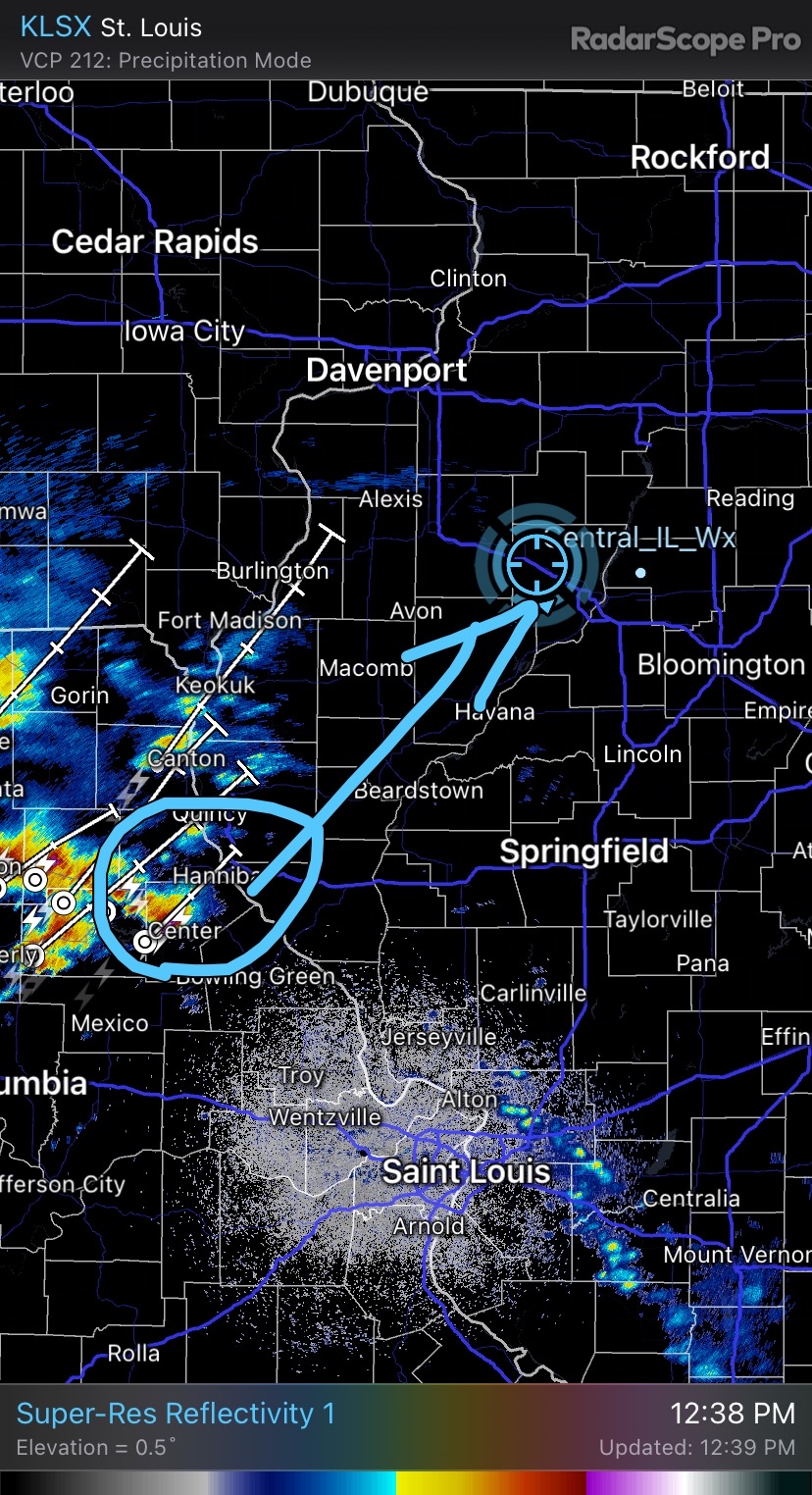
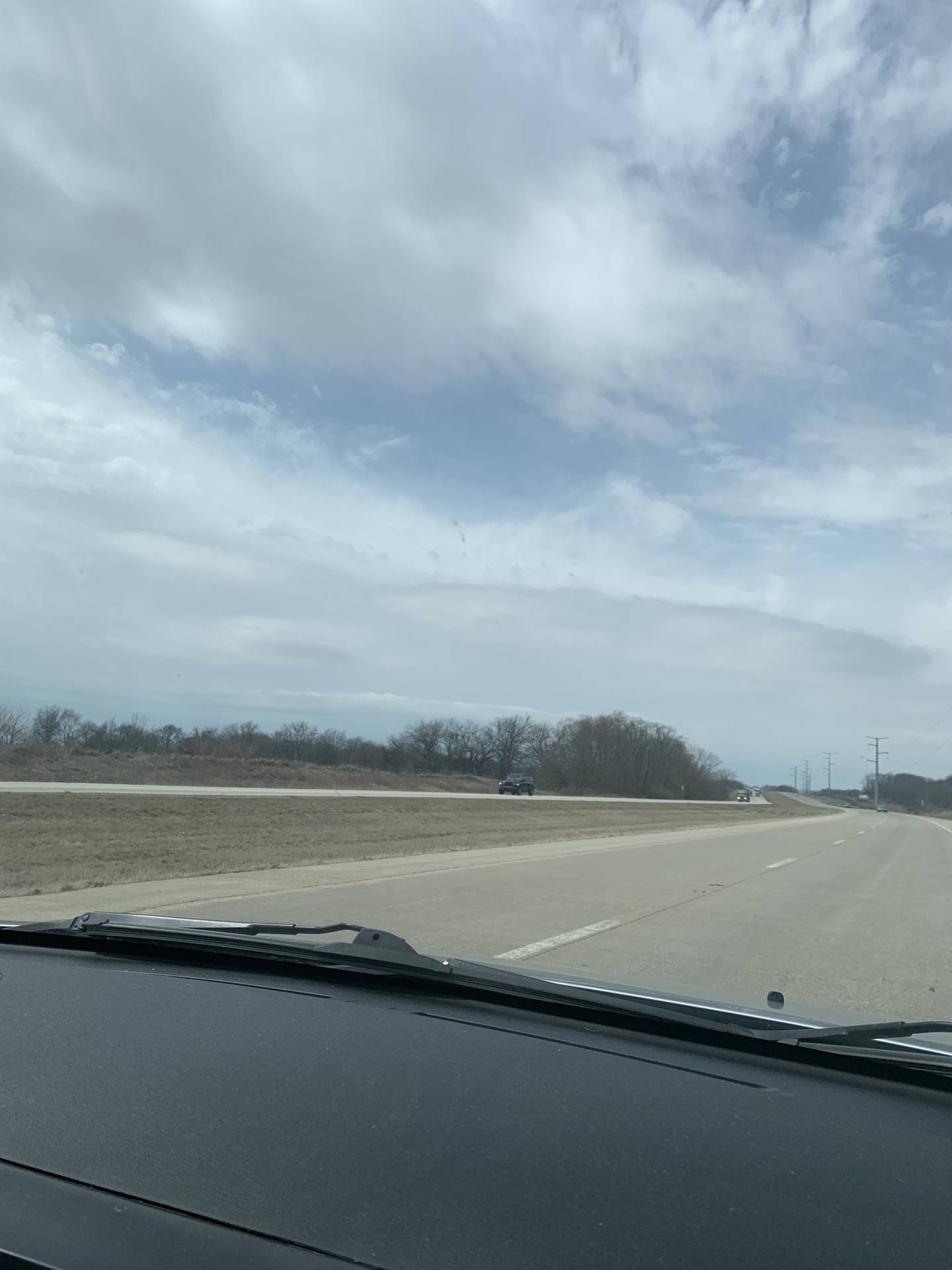
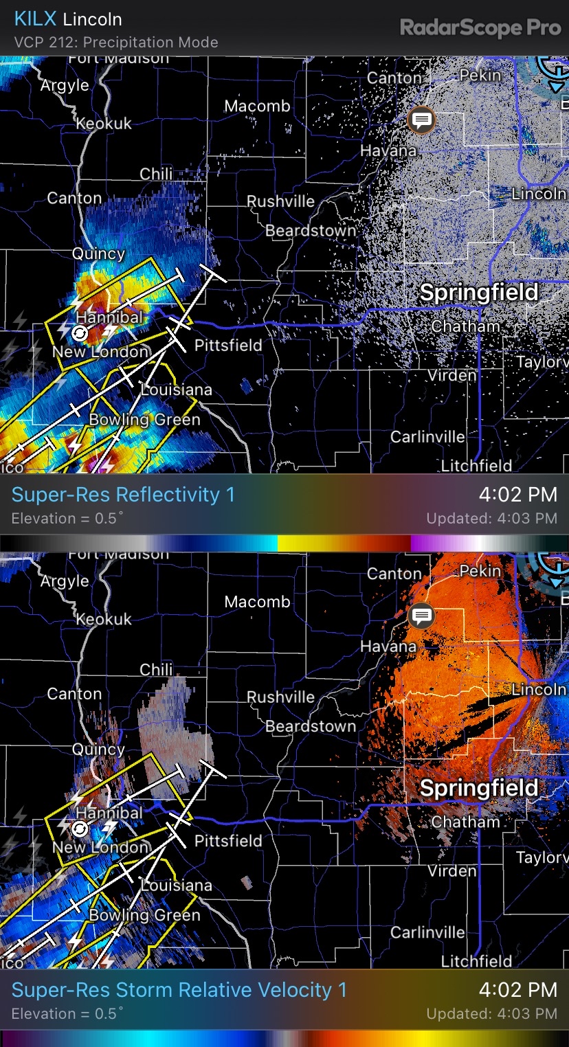
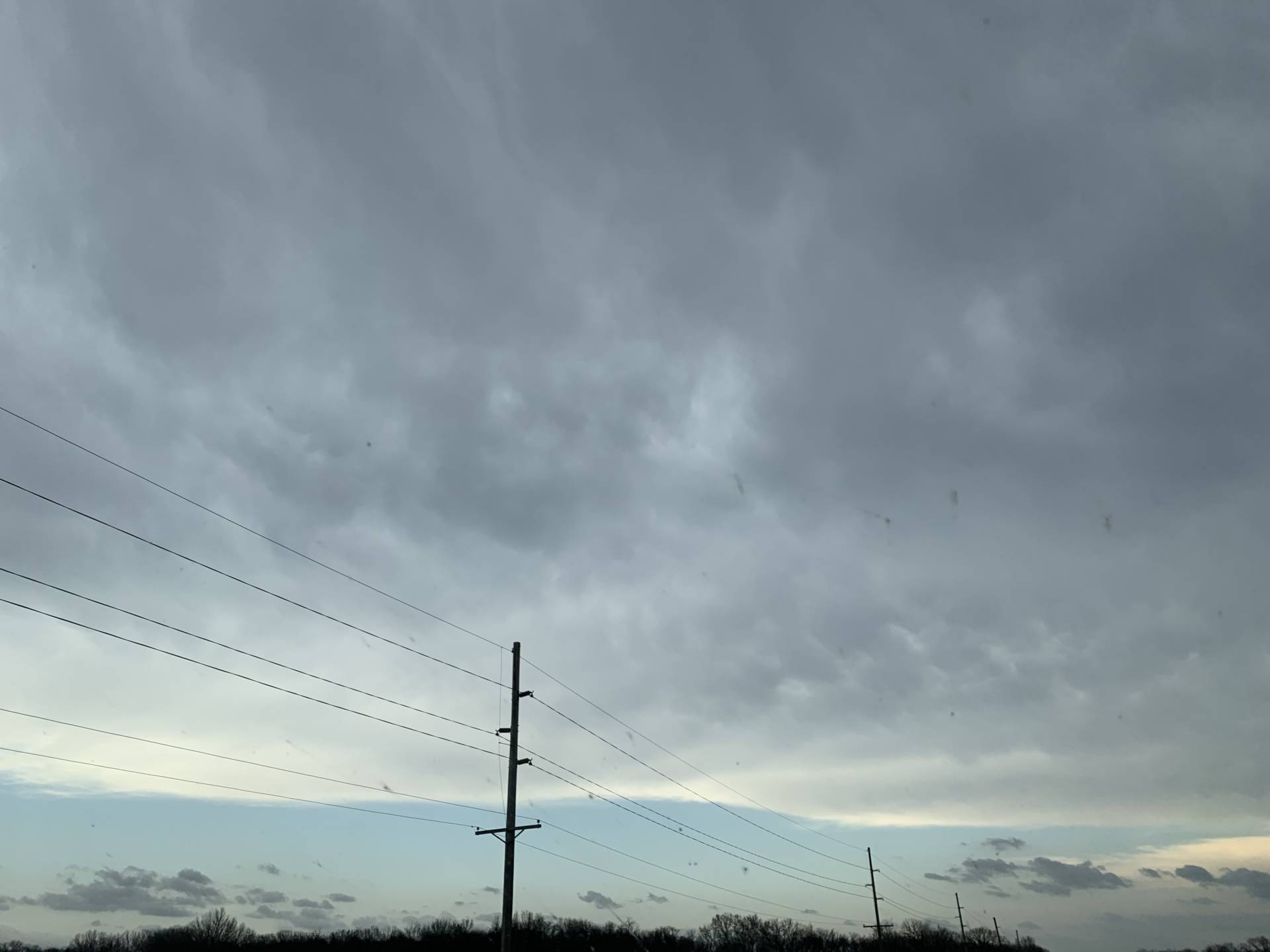
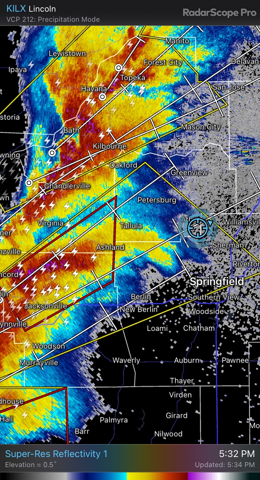
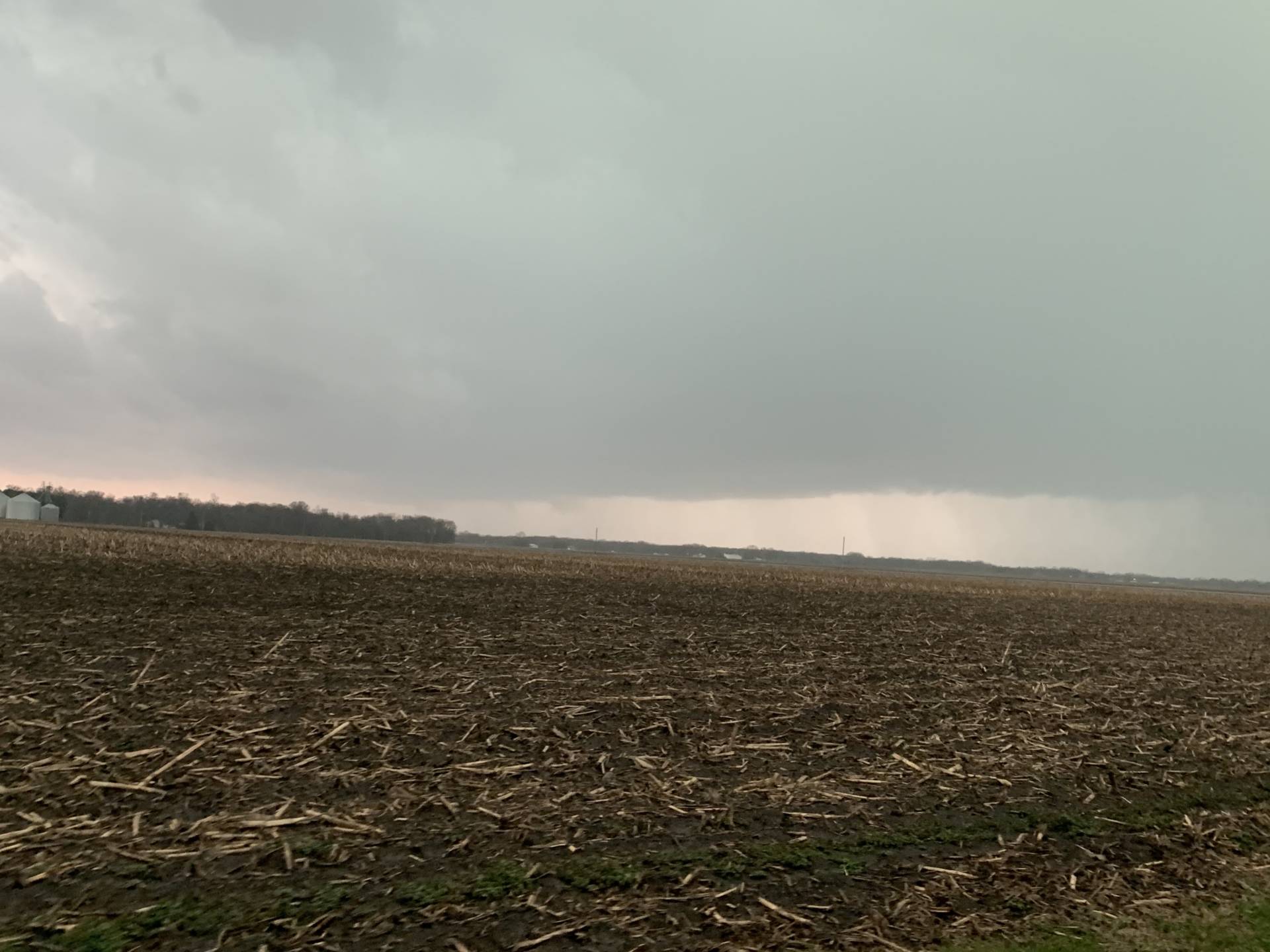
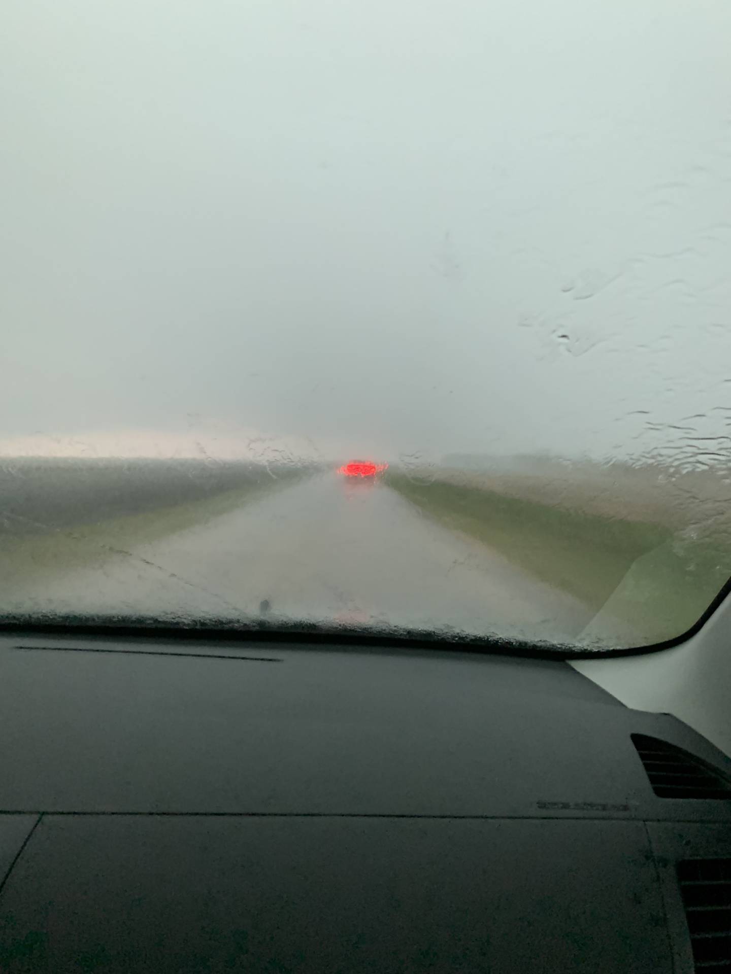
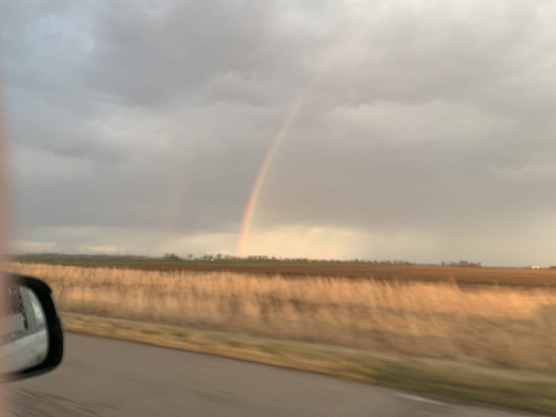
Brimfield IL bound! #ilwxTarget cell is coming right towards us! #ilwx @PlainfieldWxGot the sky nobody wants to see today East of Knoxville IL.Yates City, IL Looking at a high based lightning producer!BLASTING SOUTH to intercept near Lincoln! #ilwxINSANE MAMATUSTarget storm now tornado warned! #ilwxINSANE WIND AND LIGHTNING SHOW! Athens, IL #ilwx@NWSLincolnIL Athens, IL a free minutes ago. Might have a funnel or some lowered appadenge now: #ilwxWith @PlanfieldWx in Athens, IL with a well defined wall cloud possibly something under smth it as well. #ilwx@NWSLincoln just had large hail probably around quarter sized or penny sized. #ilwx NW of Springfield by a few miles S of Athens IL.Double rainbow in Hartsburg, IL! #ilwxMorton, IL looking West! Multiple bases some getting pretty low. #ilwx @NWSLincolnILMorton, IL looking West! #ilwxOutflowy here in Morton, IL@NWSLincolnIL Wind gusts of 40-50 mph inbetween Morton and Washington, IL in Tazewell county. #ilwxI’m back home! Expect stuff from my camera to come out in the coming days and a long detailed YT video! I am likely chasing Tuesday as well! #ilwx


Community Comments
There are no comments on this post
Want to leave a comment? Join our community → OR Login →