

Published on
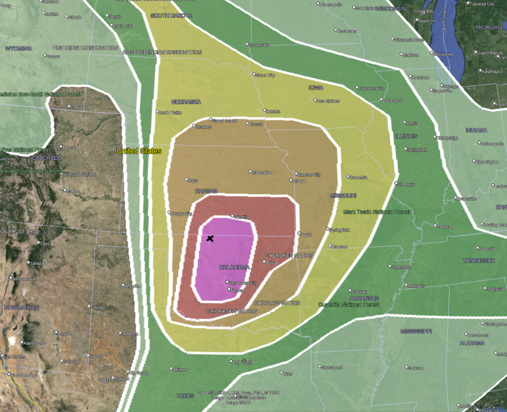
May 6, 2024 – one of the higher end potential days across the Central Plains. The Storm Prediction Center issued a rare High Risk for Southern Kansas and much of Northern/Central Oklahoma.
The black X was our initial target – somewhere near Alva, Oklahoma.
The atmosphere had all of the ingredients coming together – in a fairly scary manner. Storms fired along the dryline in Western OK/KS and moved east/northeast.
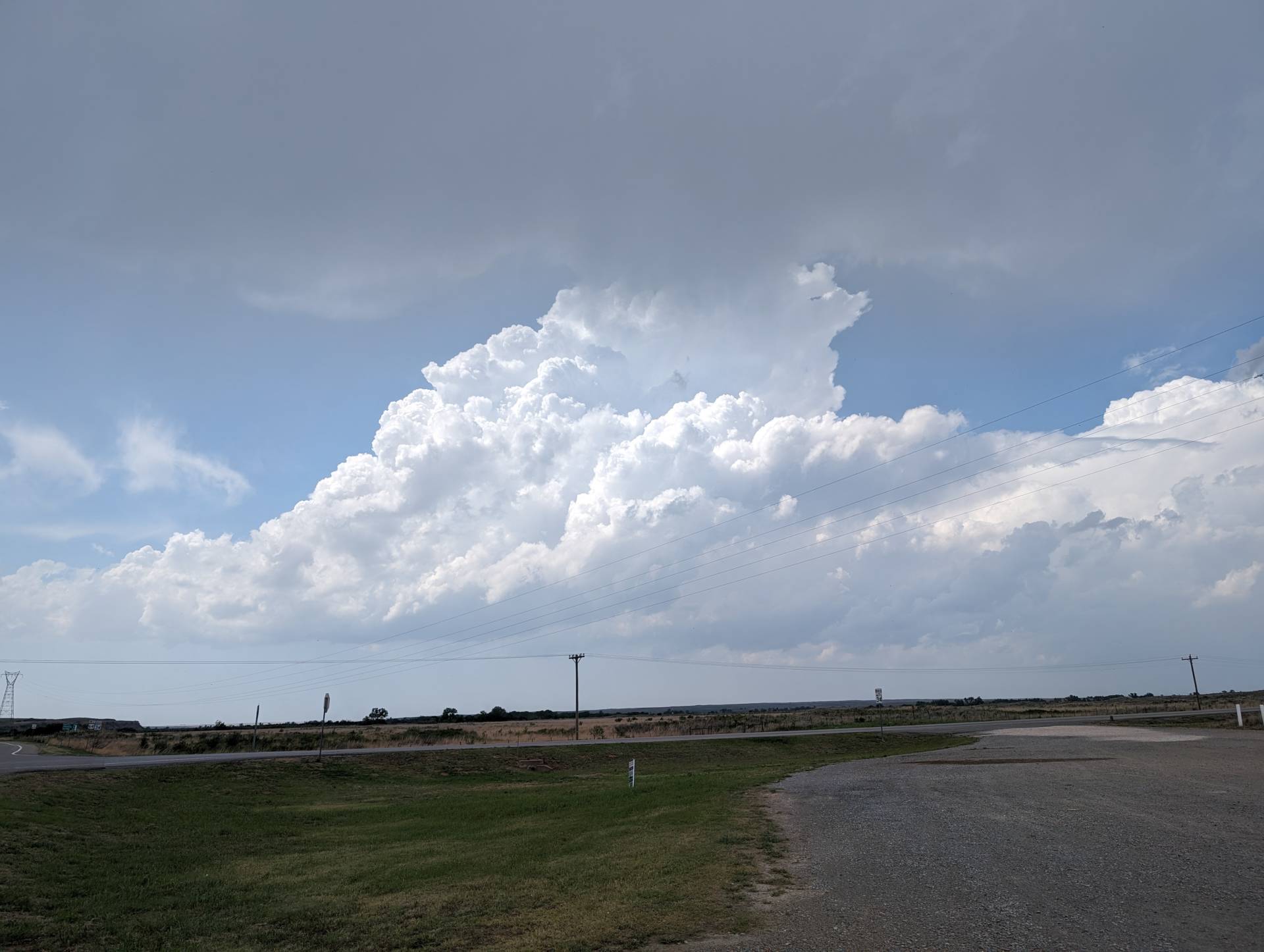
Initially storms struggled to get going – but this was mostly expected because the best shear and moisture was east of the development zone – so once storms moved east, the environment improved for tornadic development.
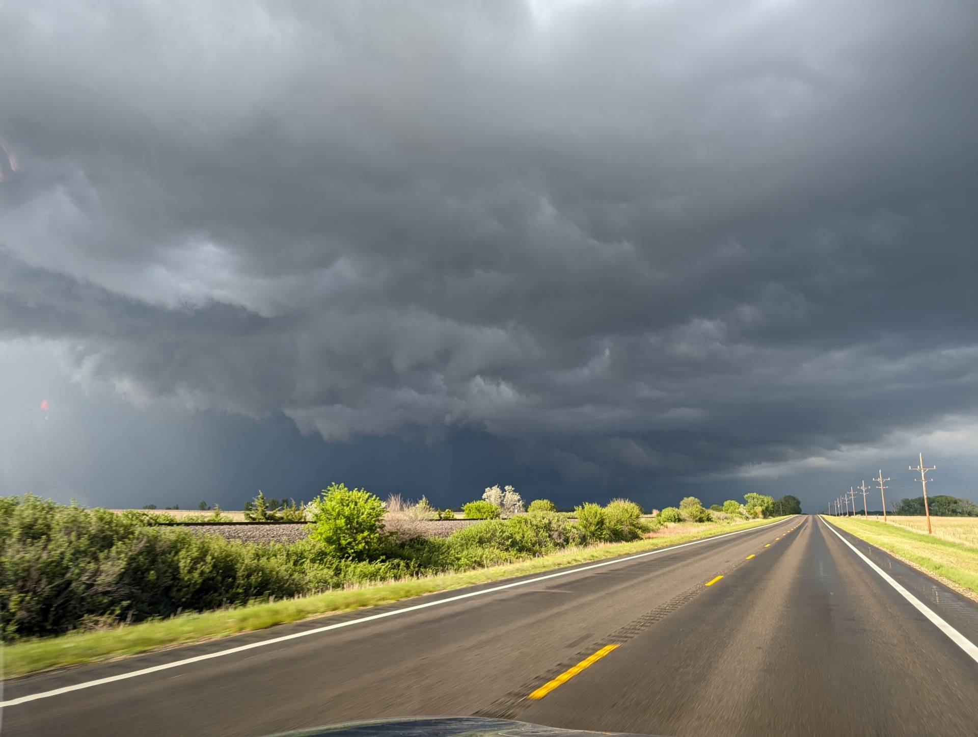
We jumped on one dominant supercell that developed southwest of Pratt, Kansas. We tracked it for over 60 miles – but it just couldn’t get the extra spin needed for tornadogenesis.
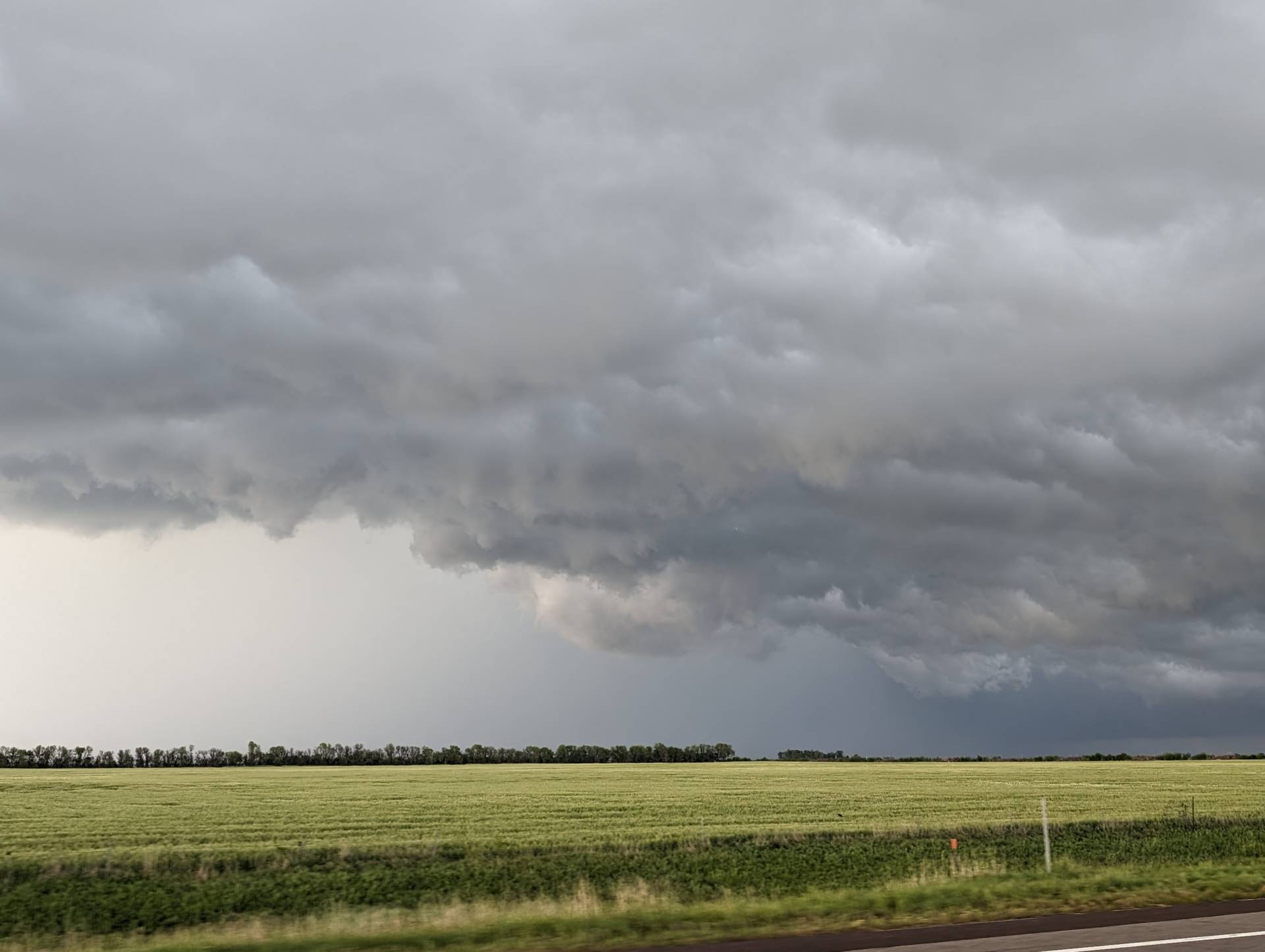
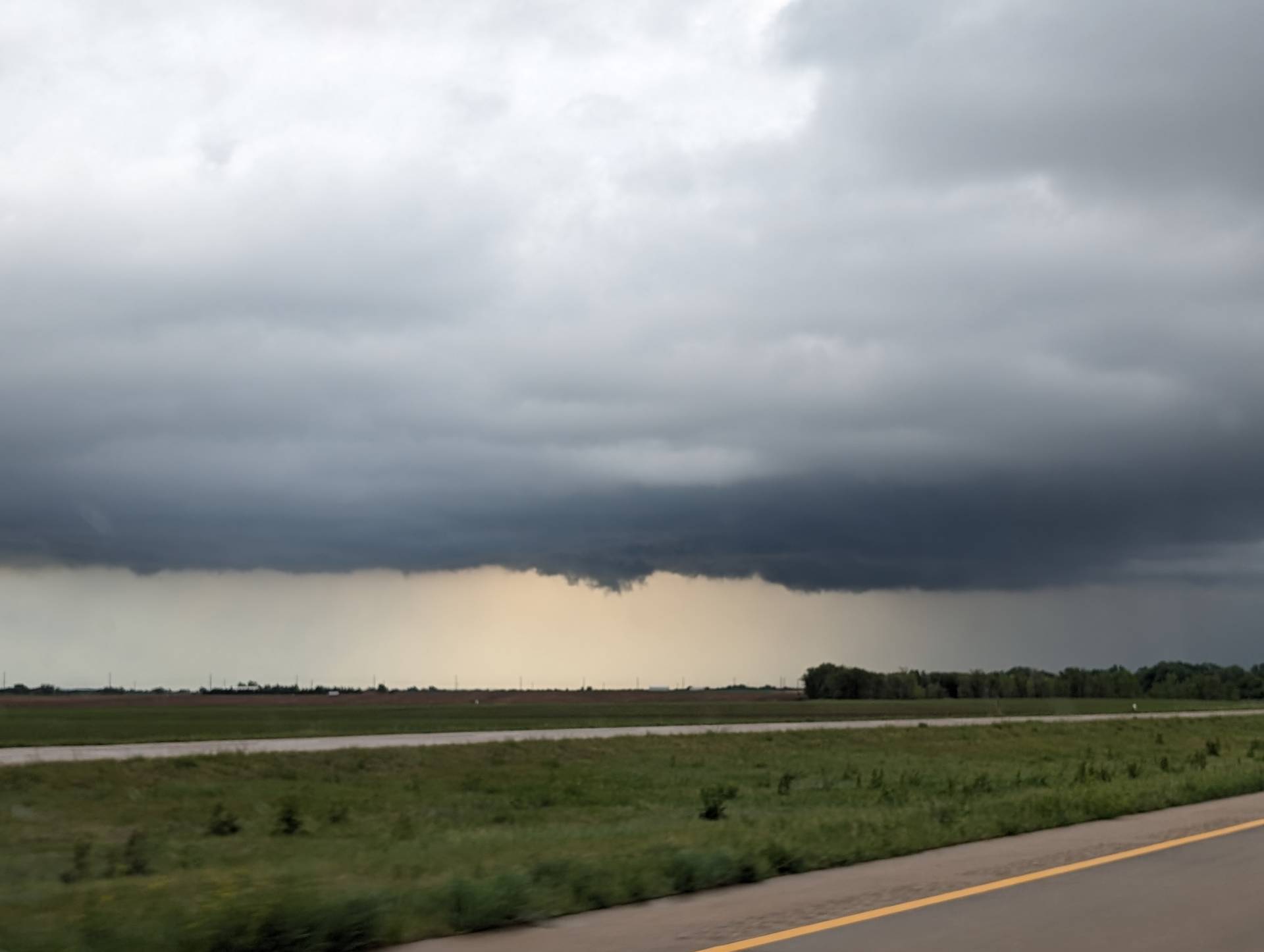
Closer to sunset, we called the chase. Of course, shortly after we did, this storm became more isolated and had tornado warnings on it.
As for a High Risk – it may not have panned out for *most* areas – however, an isolated supercell in Osage County, Oklahoma produced widespread devastating damage in and near Barnsdall – as well as Bartlesville. Once the Low-level Jet kicked in, the storms quickly started to rotate. Sadly this was after dark, and the fatality count is unknown as this story is being written. Thoughts go out to those affected by the after-dark, strong tornadoes in Northeast Oklahoma.
Community Comments
There are no comments on this post
Want to leave a comment? Join our community → OR Login →