Published on
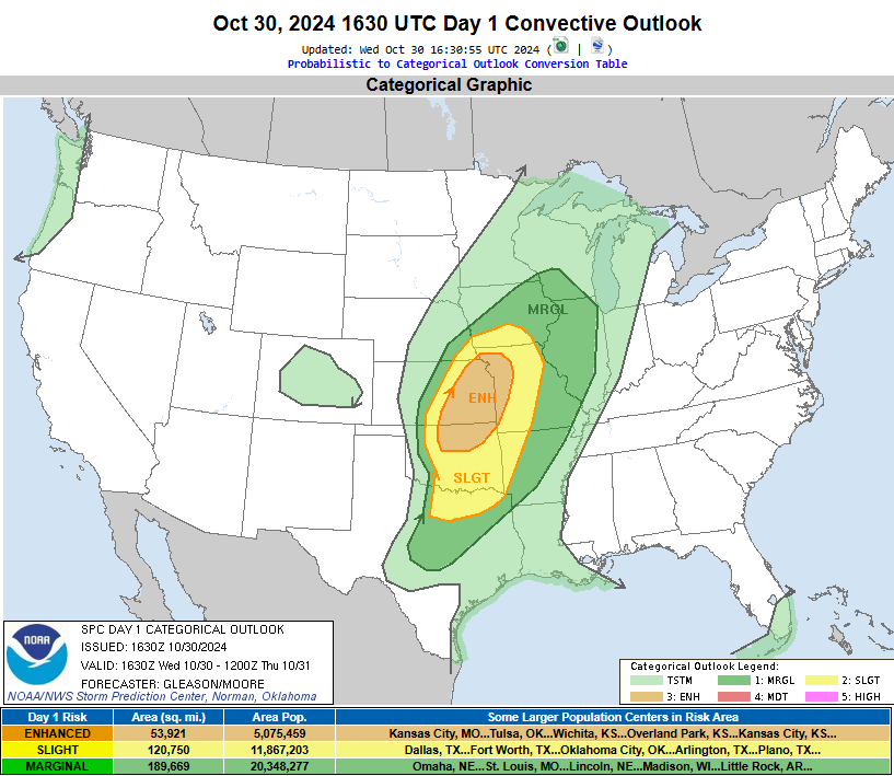
It appeared, at least on paper, that October 30 had some decent potential for severe weather. The Storm Prediction Center had a large Enhanced area circled from near St. Joseph, Missouri on south to just outside of Oklahoma City.

A line of mostly sub-severe storms moved through the region earlier in the day, which seemed to keep the more vigorous severe weather at bay. It was apparent by 4 pm local time that a line of storms would sweep across the area, but a regional severe weather outbreak was unlikely.

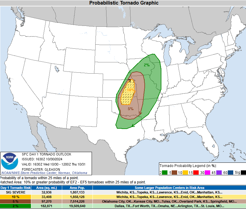
A generous 10% hatched area for tornadic potential was draped along the I-35 corridor, but not a single tornado was reported.
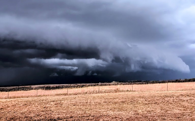
I did manage to document a developing shelf cloud (below) but it soon dissipated. It was nice to have some rain and see some storms, but the day was rather tame overall.


Community Comments
Wow
Reply to Keanu Distefano
Want to leave a comment? Join our community → OR Login →