Published on
Another chase day – another system further west than previously forecasted. It appeared early in the day that Southwest Kansas would provide a show – but the atmosphere remained capped along the dryline, leading to a further distance to travel. The HRRR weather model showed vigorous storms firing near the dryline/warm front intersection near Scott City, Kansas.
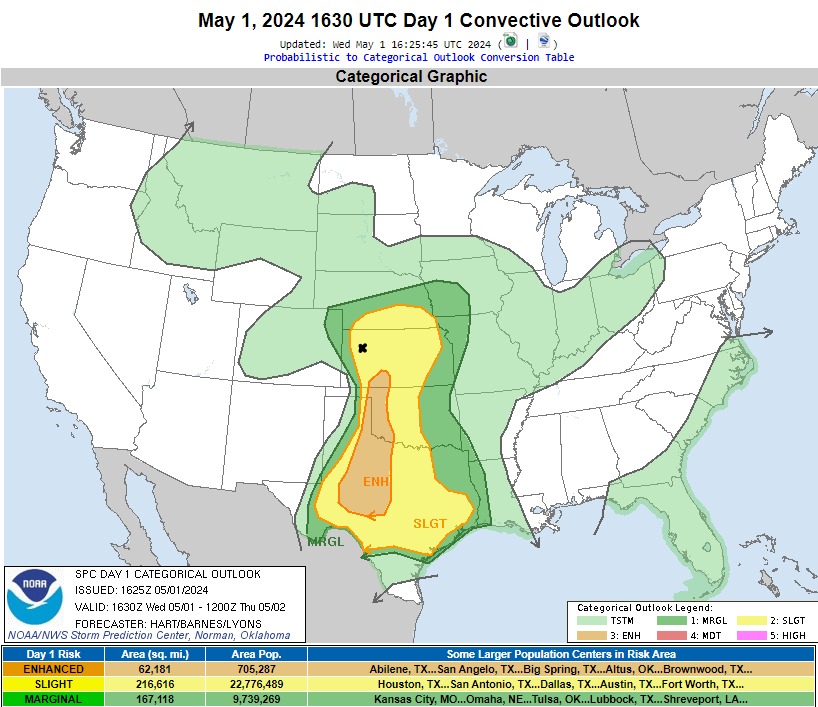
The Storm Prediction Center had a Slight Risk area draped over our target region. The Enhanced Risk was further south across Southwest Kansas and then on south into the Childress, Texas area. We chose to play the intersection of the dryline/warm front because it provided a bit of enhanced lift needed to get storms to develop across a mostly otherwise capped environment.
Off to Scott, City, Kansas we go!
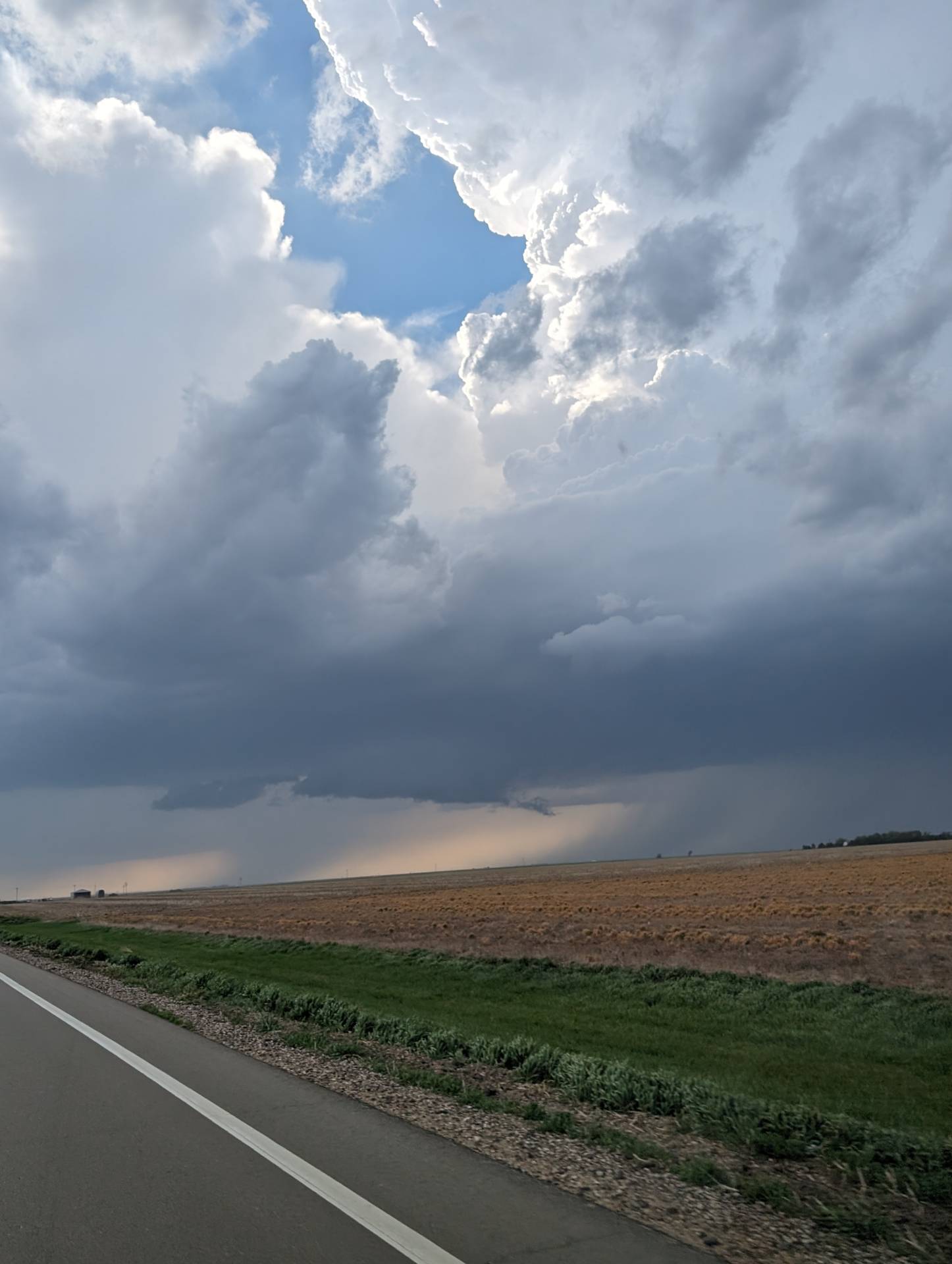
Storms did rapidly intensify near the boundary, as we suspected. This was the view from near Healy, Kansas as the storm grew in size to our northwest.
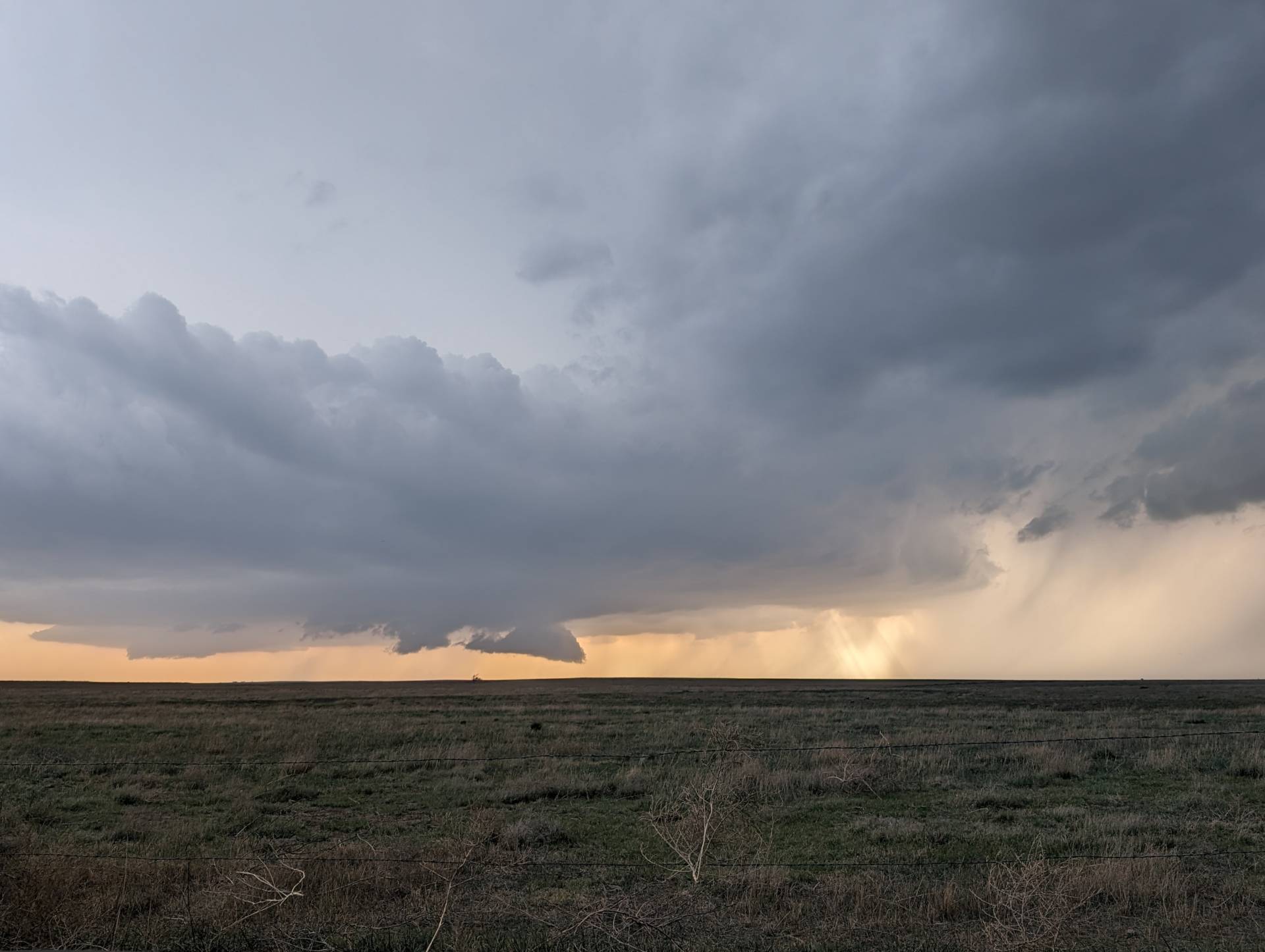
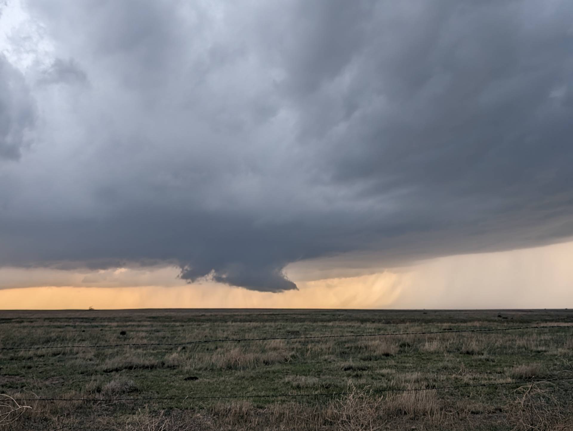
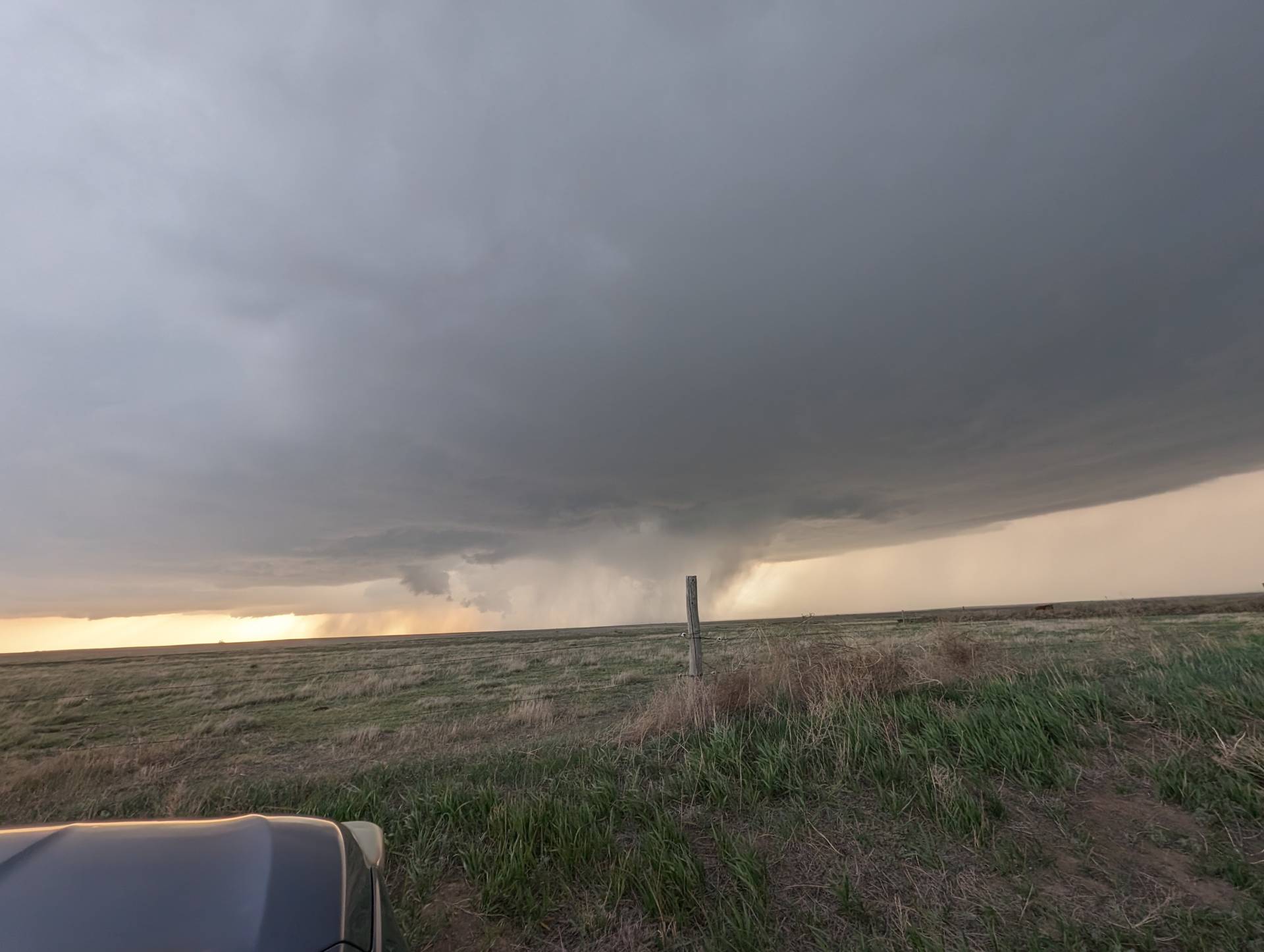
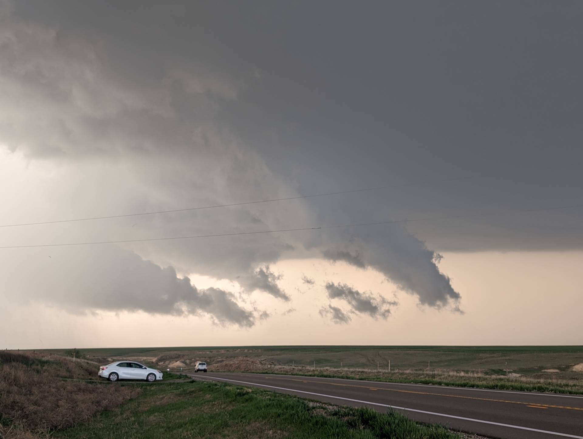
As the sun set – the storm intensified further – but the mesocyclone was very well wrapped in a heavy curtain of rain and huge hail.
A landspout tornado developed just off to our north. It caused no damage, but did get the blood pressure up for a few minutes!
Overall – we enjoyed the chase – saw many friends along the way and made more memories!


Community Comments
There are no comments on this post
Want to leave a comment? Join our community → OR Login →