

Published on
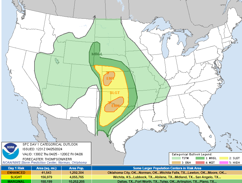
The day looked like a potential “big” day – with the conditional caveats that storms needed to get east off the dryline into a bit better moisture. Seemingly each chase day has *some* caveat that must be overcome – and this setup was no different.
The Storm Prediction Center had an Enhanced risk draped across West Central and Northwest Kansas. The biggest risk being huge hail, but tornadoes, a couple of strong, were also on the table. The big hail most definitely verified, with baseballs reported in some locations. The tornado threat really never quite materialized.
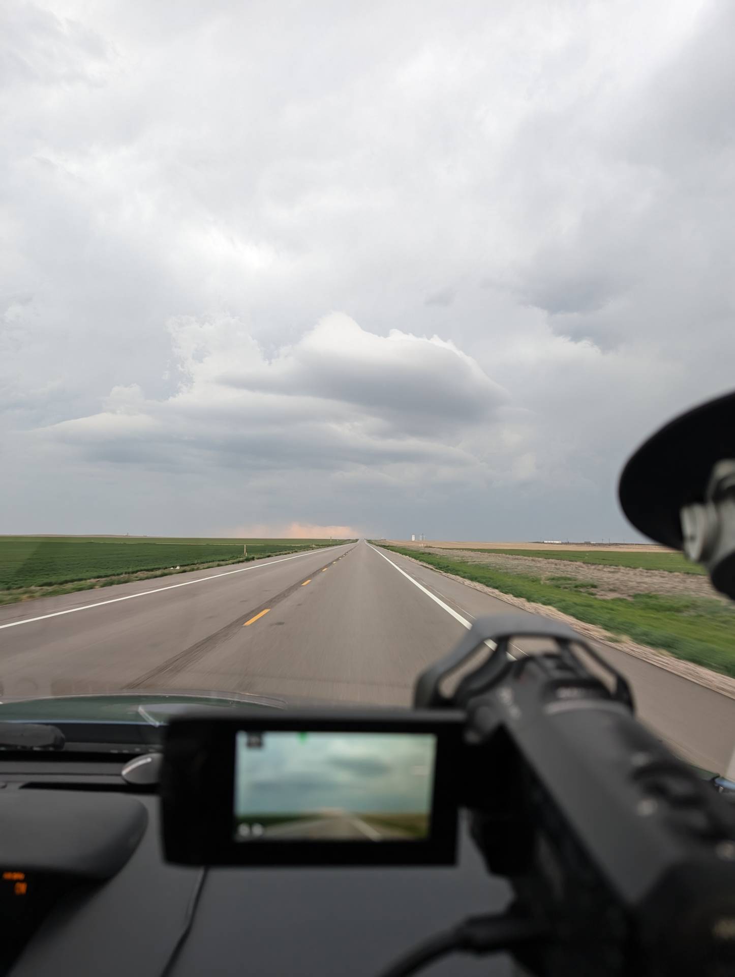
Our most exciting moment was west of Scott City, Kansas, where we noted a couple of high-level funnels. While not dangerous – this gave us an indication that the amount of shear aloft was great.
The laminar sides of the funnel, plus a horizontal funnel right next to it – indicated a highly sheared environment – but storms near the boundaries to the north (near Oakley, Kansas) appeared to get undercut by further activity and could not stay sustained, isolated supercells.
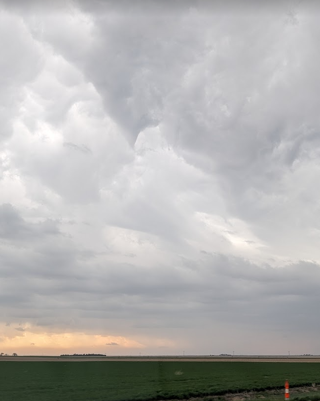
It was a lot of miles, and a lot of time in the car – but no chase goes without making memories. Memories myself and my team cherish forever. Until next time –
Community Comments
There are no comments on this post
Want to leave a comment? Join our community → OR Login →