

Published on
The setup on the 23rd was on the weaker side but still held out hope for supercells. A surface low was positioned at far southeast Colorado with a dryline stretching down the western panhandles beneath 25kts of WSW 500mb flow. Across the panhandles, MLCAPE reached 1500-2000 j/kg with effective shear around 30 kts by late afternoon and rising to 40 kts after sunset as the low level jet strengthened.
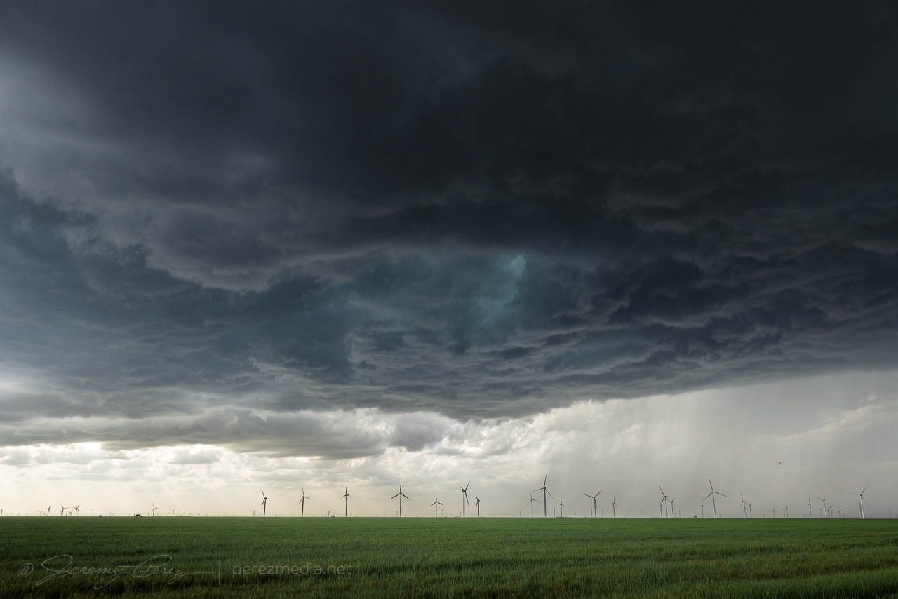
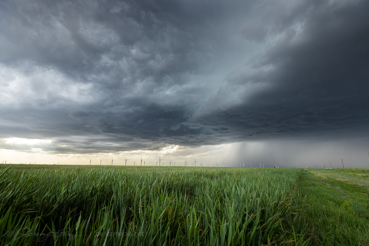
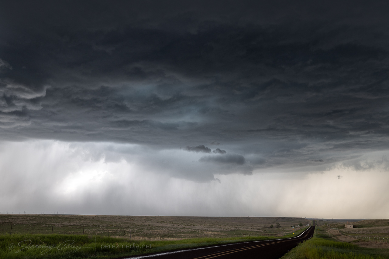
After hustling north from Fort Stockton that morning, I caught up with a cell north of Gruver. It danced on the threshold of multicell and marginal supercell as it slowly drifted northeast.
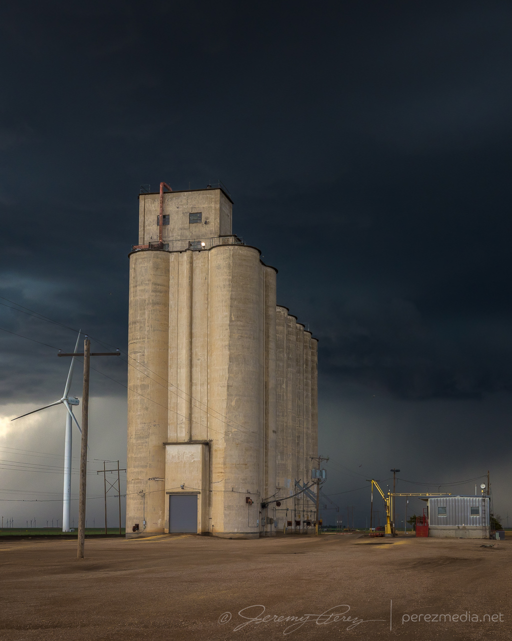
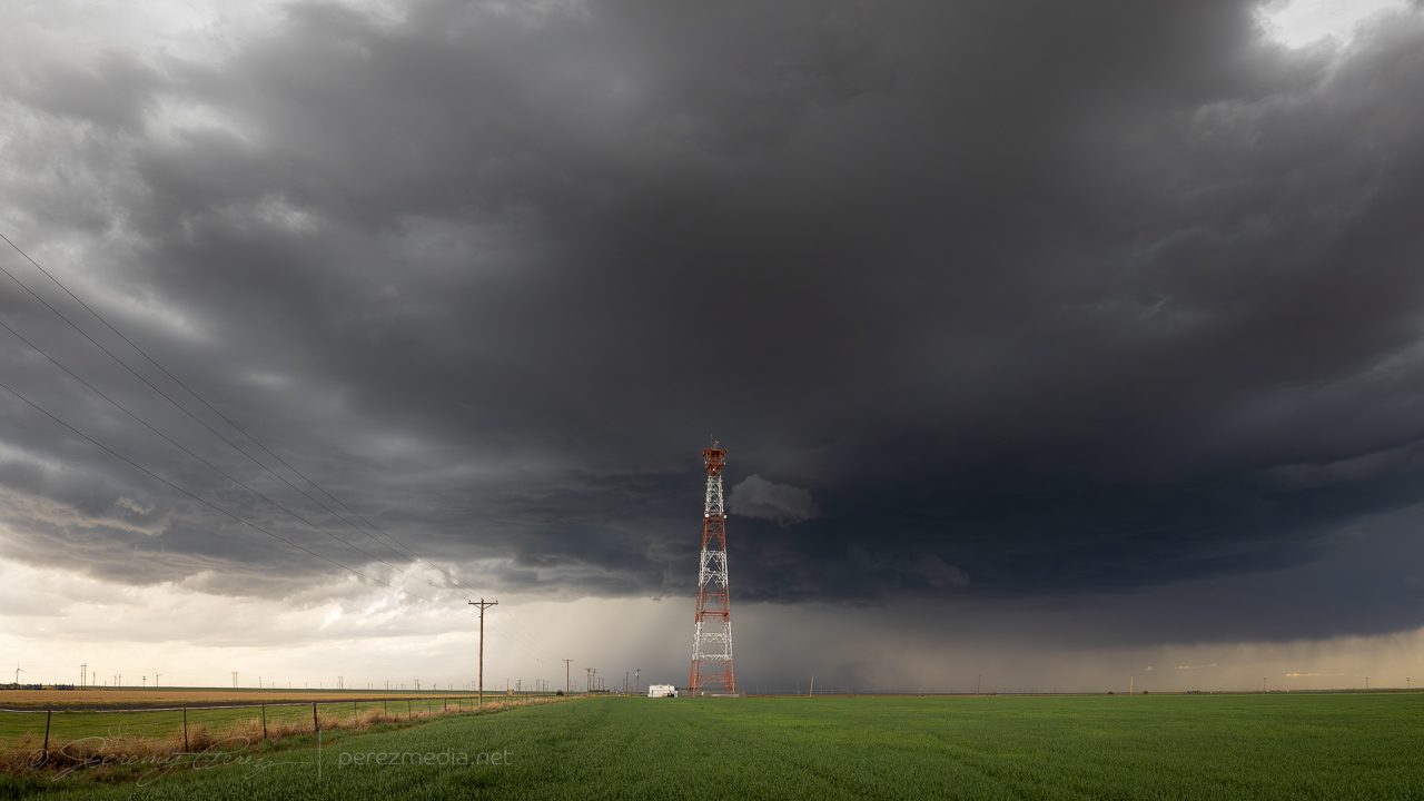
After grabbing some moody shots with a concrete grain elevator, I spotted an excellent broadcast tower just a little bit down the road.
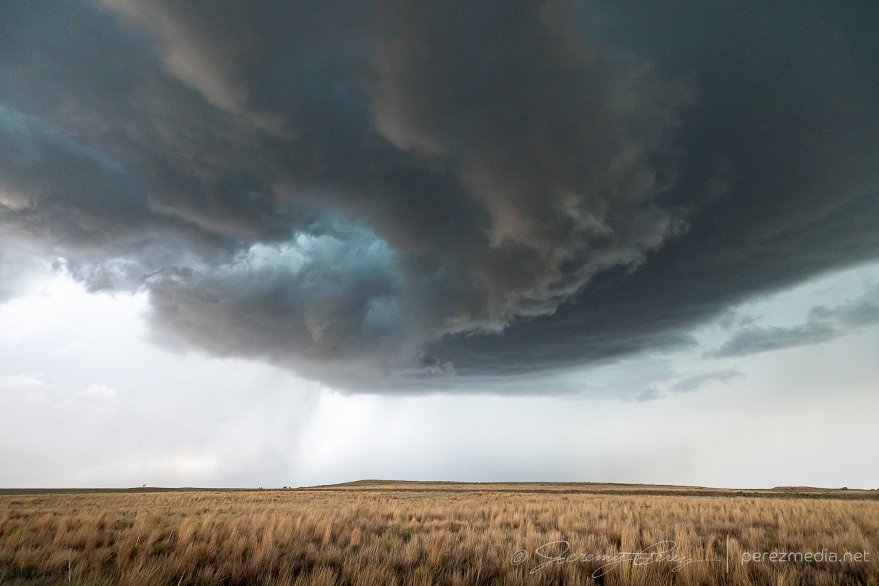
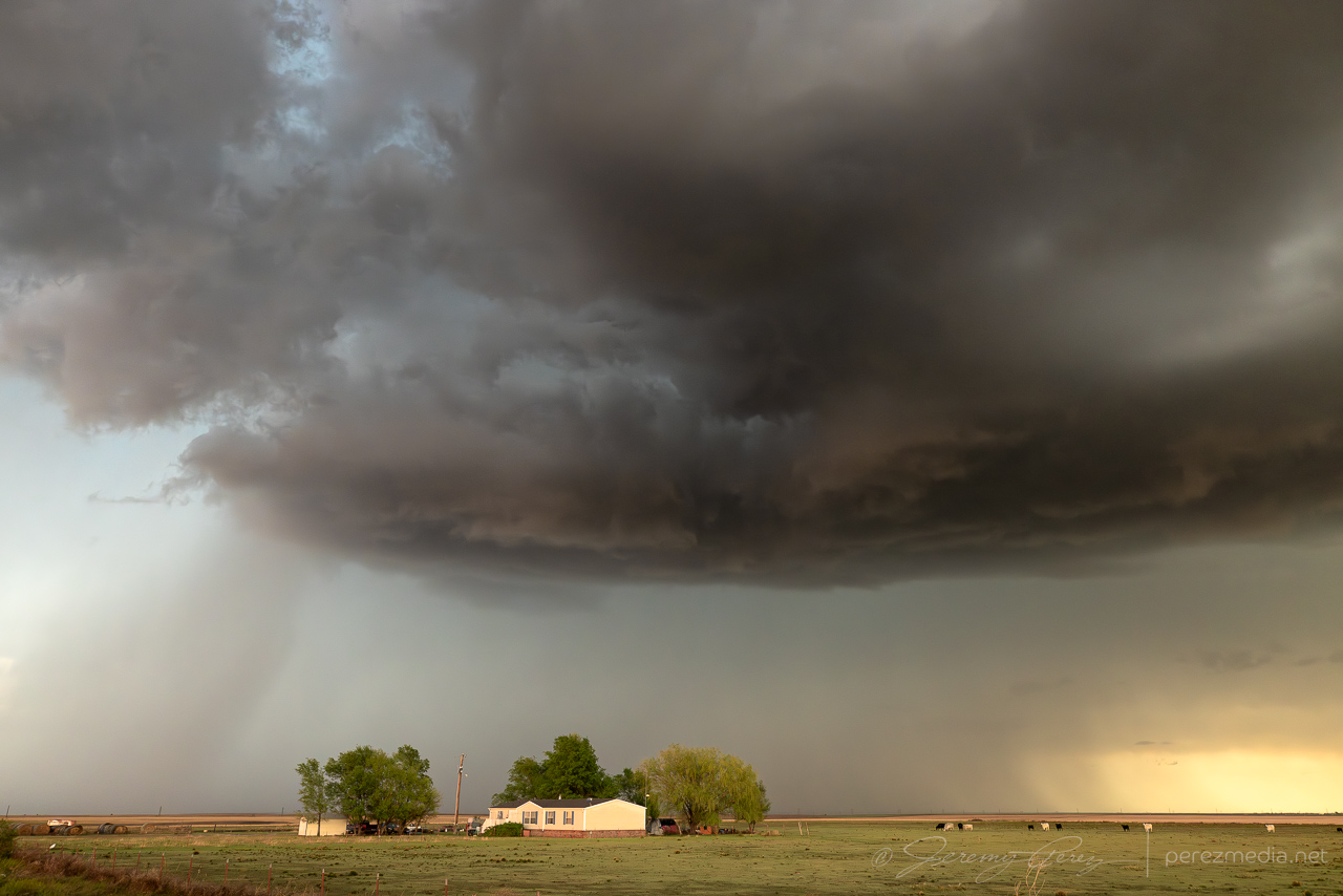
After about an hour of leisurely following it, I wound up with an elevated view along the Hackleberry Creek river valley. About this time, the storm started to look like a weak RFD was trying to take hold.
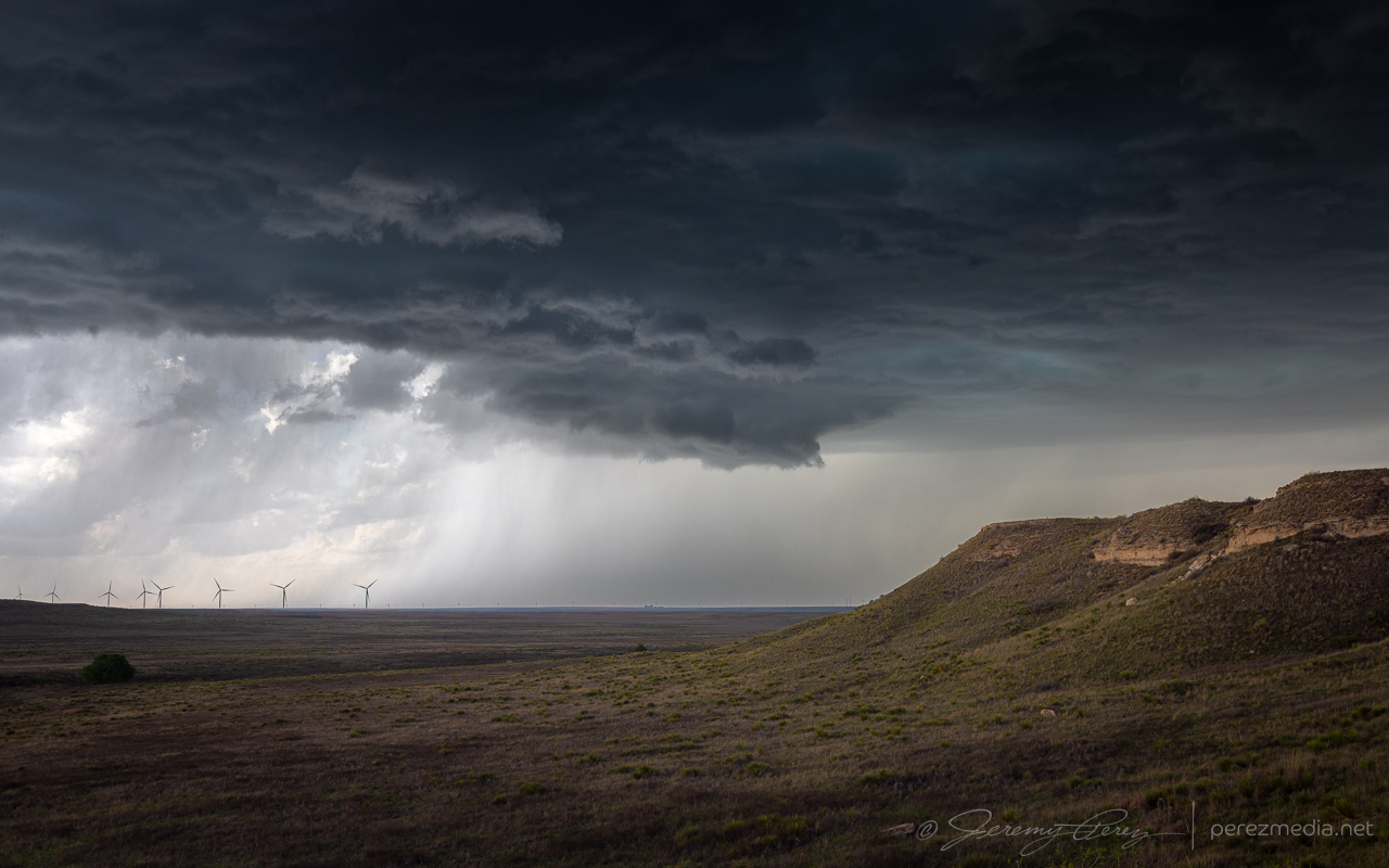
It kept trying with whispers of RFD until it was over Hardesty, Oklahoma, when it finally managed to curl fully into the base.
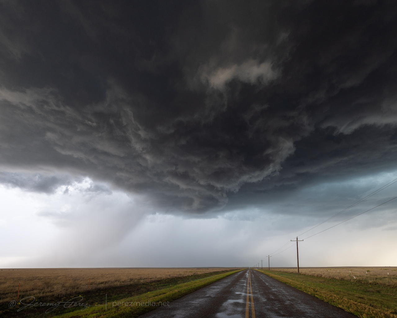
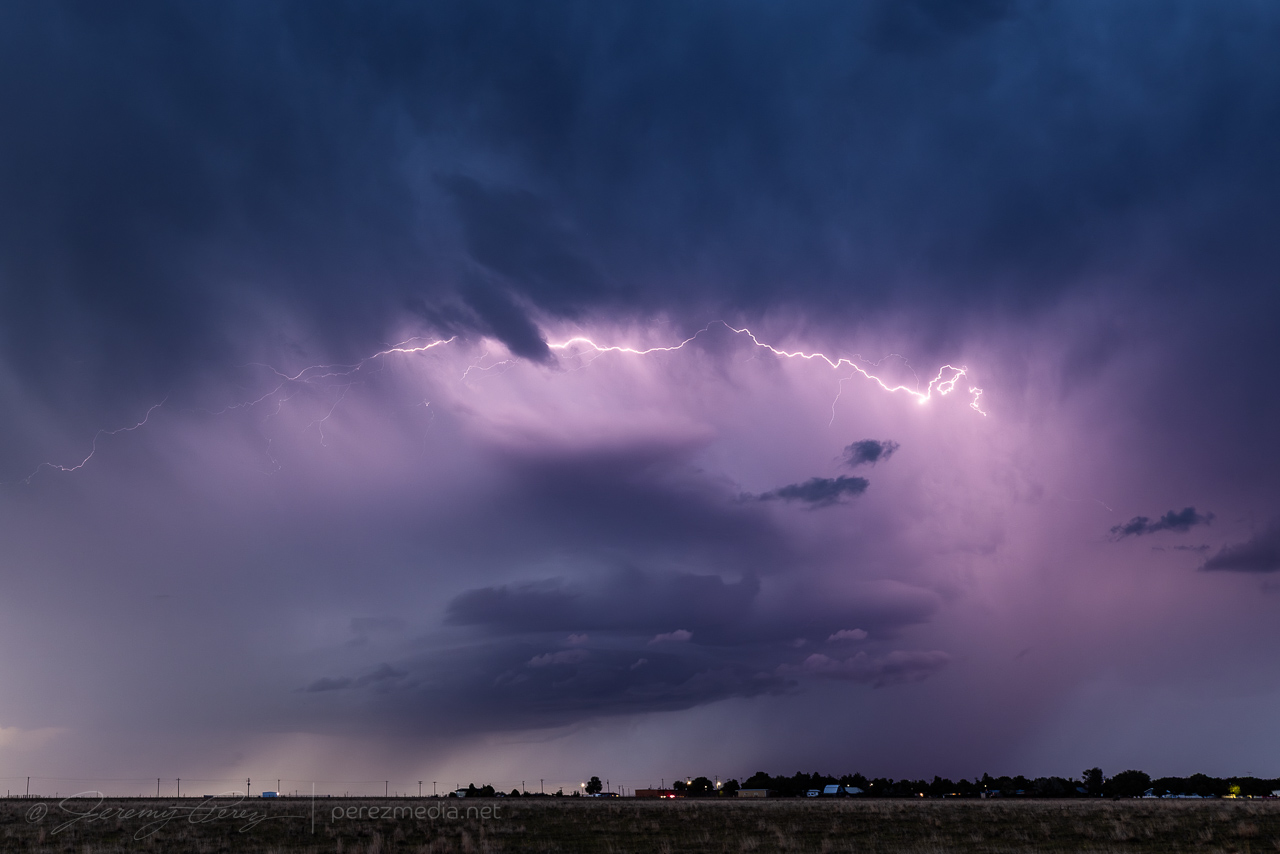
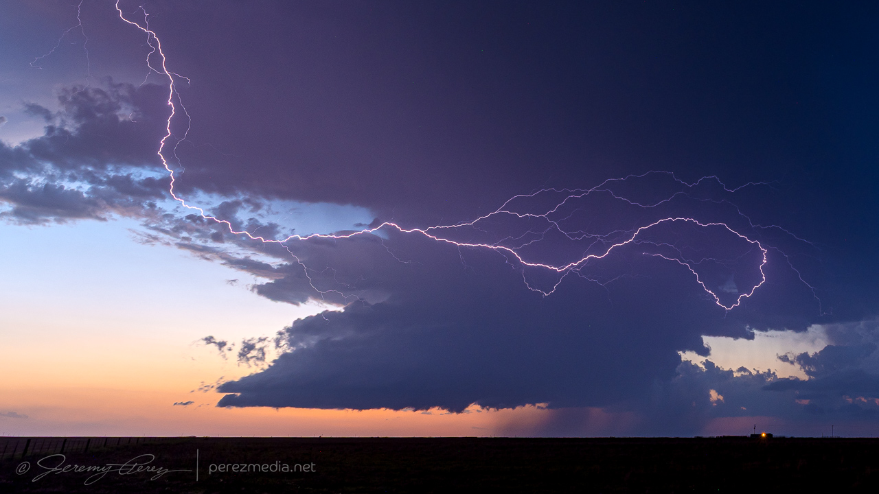
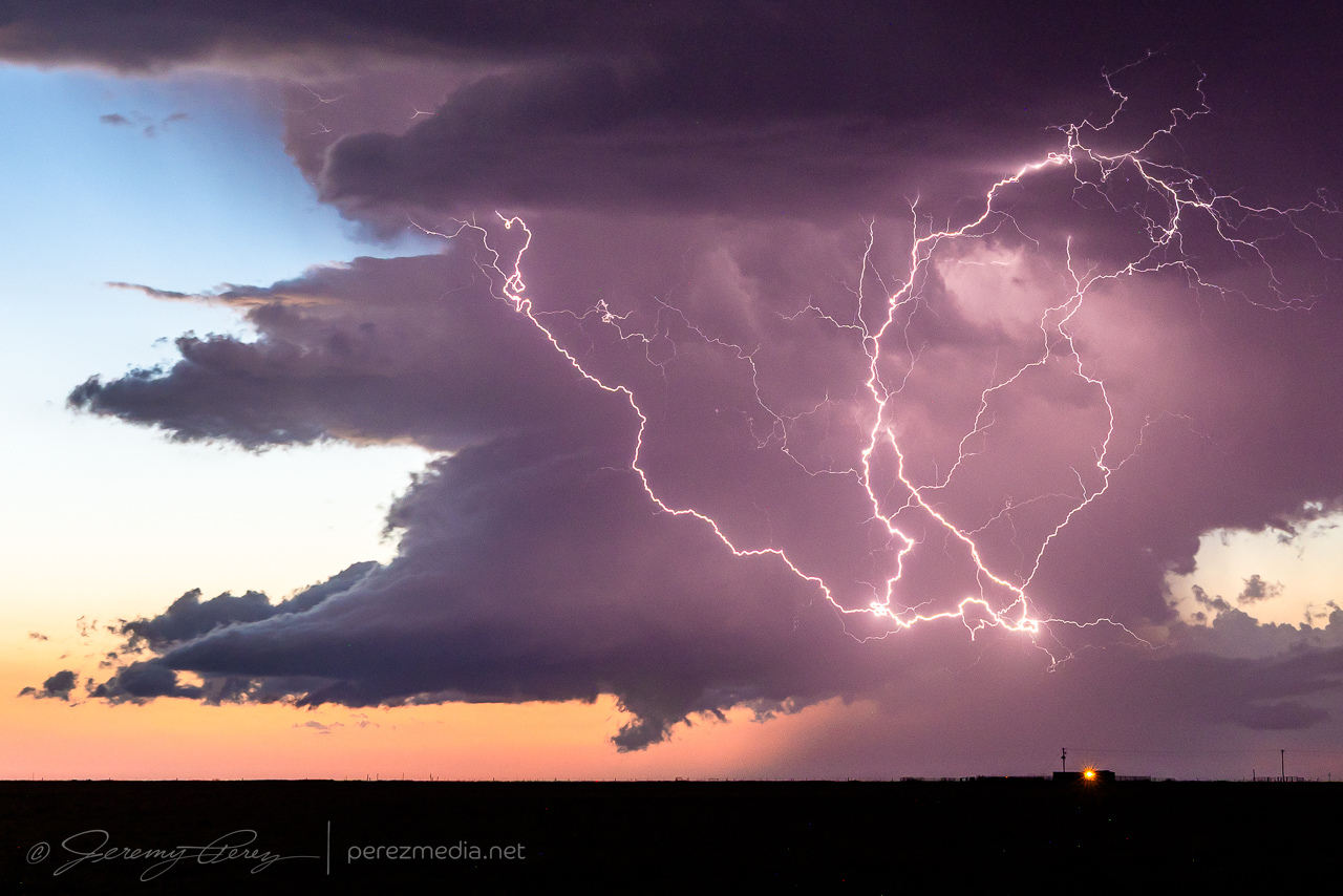
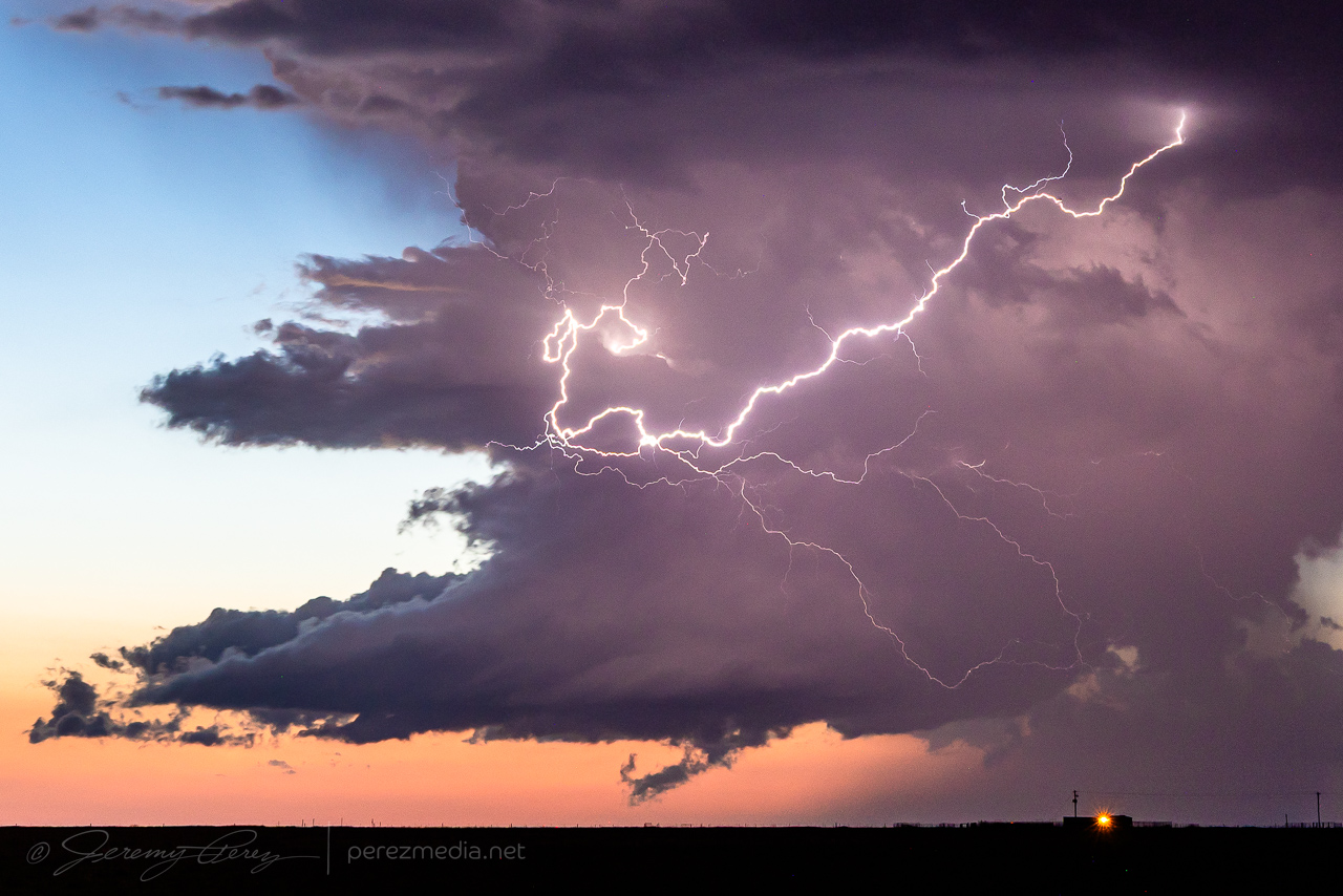
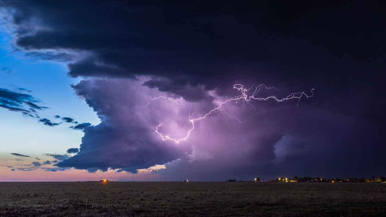
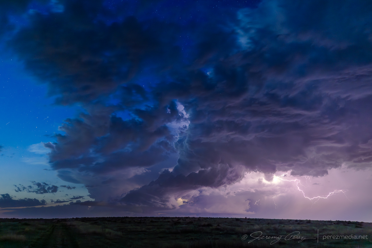
I followed it for another 20 minutes before letting it drift off and dissipate. Back to the west, new cells had gone up and were setting up a beautiful sunset lightning display. No CG strikes, like whatsoever, but the anvil crawlers were great, especially since they were originating in a small but cohesive supercell.
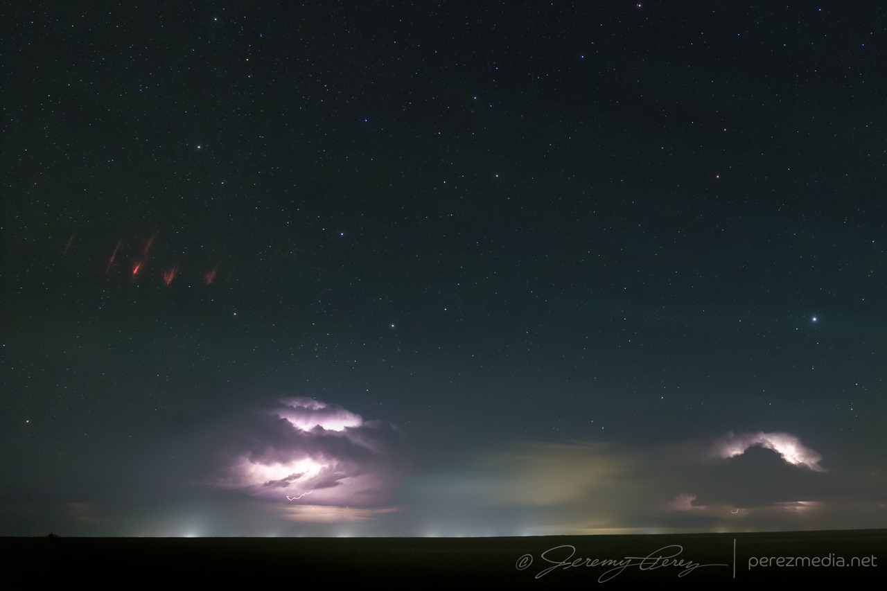
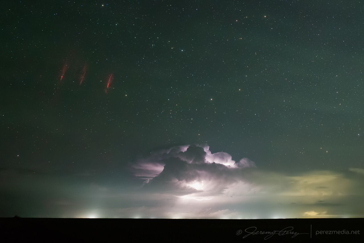
As the storms weakened and moved off, a larger convective complex was ongoing in central and northern Kansas. I set up the camera for some time lapse shots to the north and later discovered a couple frames with sprites. The foreground storms are around 30 miles away but the sprites are coming from the more distant storms that ranged from 150-250 miles away.
Community Comments
There are no comments on this post
Want to leave a comment? Join our community → OR Login →