Published on
This day featured 25-30 kts of westerly 500 mb flow over the Panhandles for 40 kts of effective bulk shear with MLCAPE rising over 2500 j/kg. Some outflow boundaries were in play with a prominent one moving southbound and eventually setting up northwest-southeast over the southern panhandle.
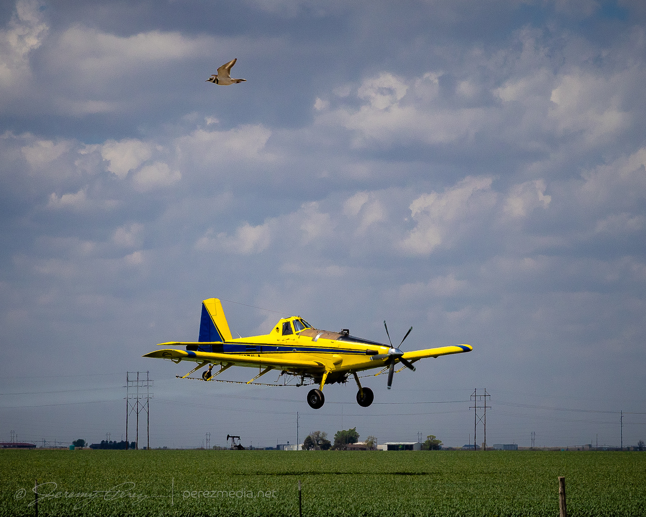
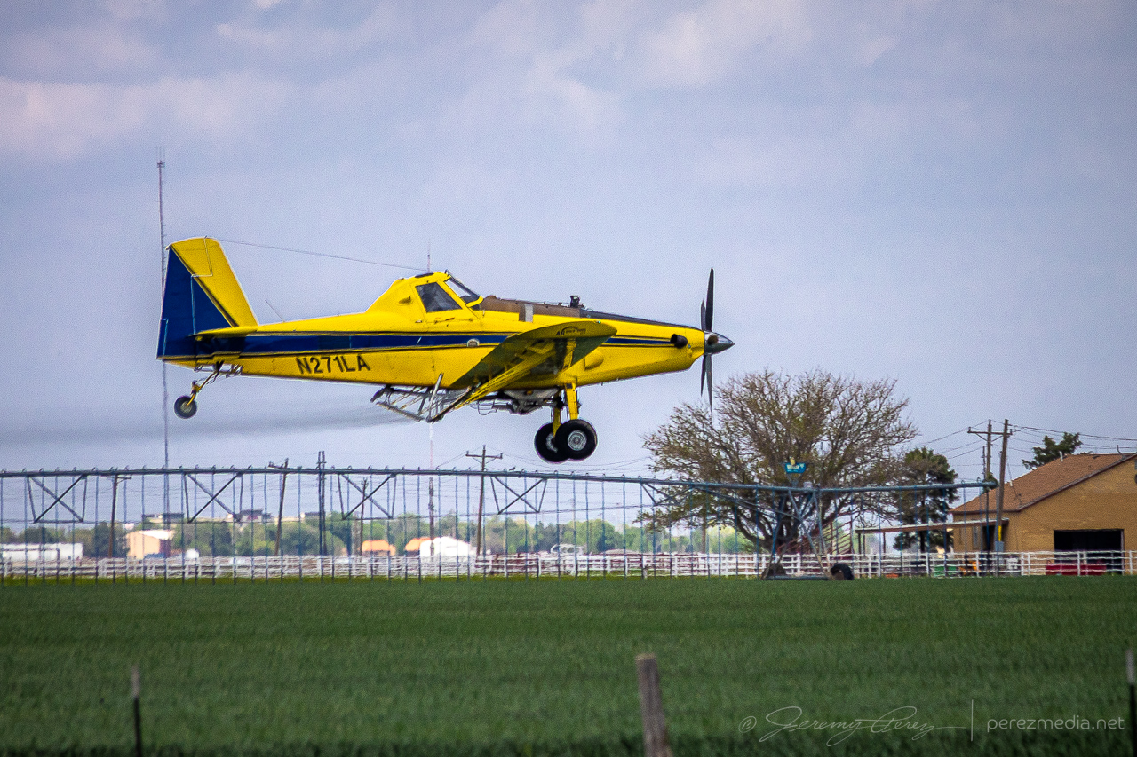
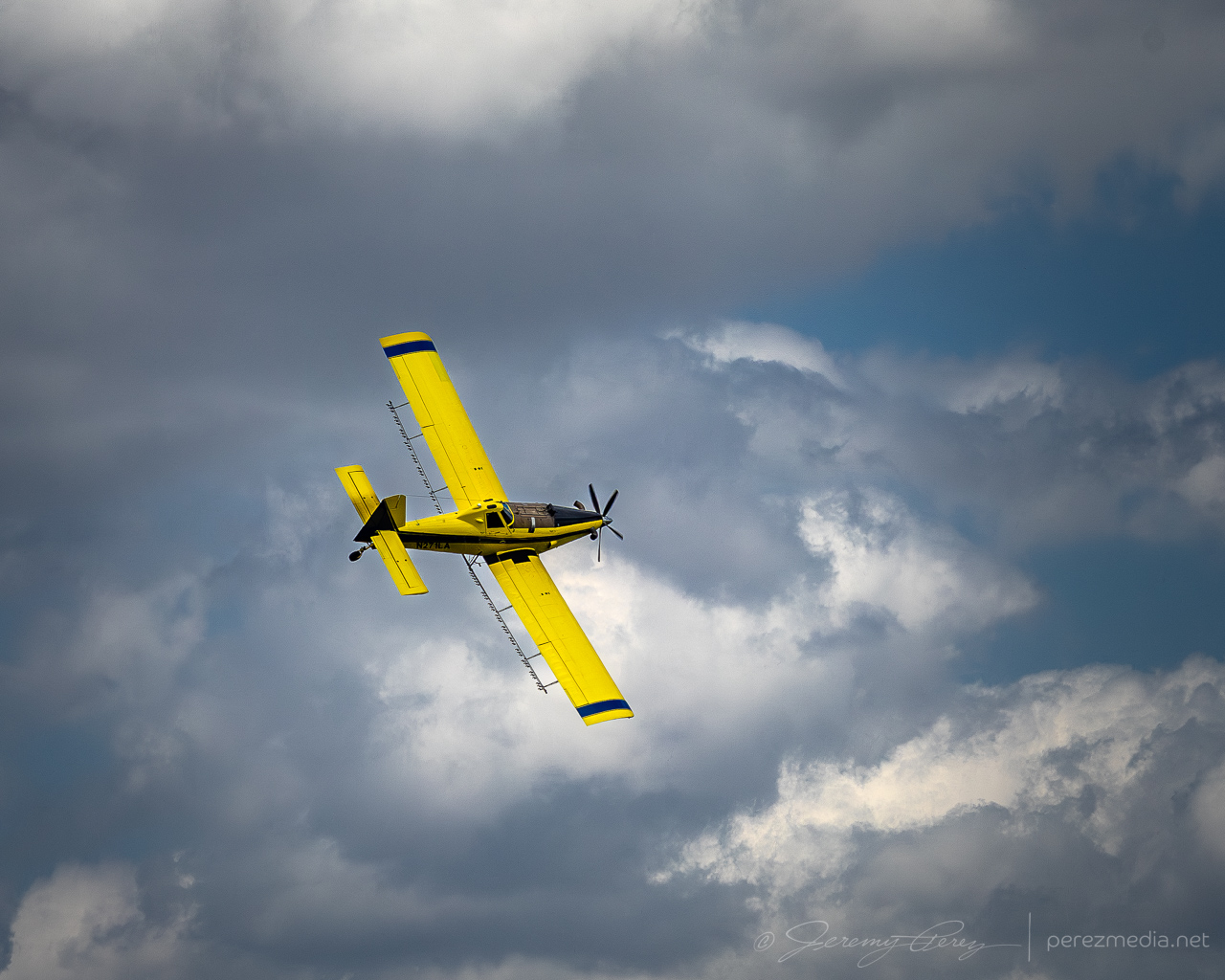
The storm of the day seemed to fire off this outflow boundary southwest of Silverton and produced a tornado at 2315Z, about 20 minutes before I got there. The 12 minutes I spent distracted by the dynamic flying of a cropduster up in the Oklahoma Panhandle contributed to that miss, but not by enough to be totally to blame.
I caught up with that storm just on east side of the Cap Rock escarpment. It looked like it was reconsolidating after its early show.
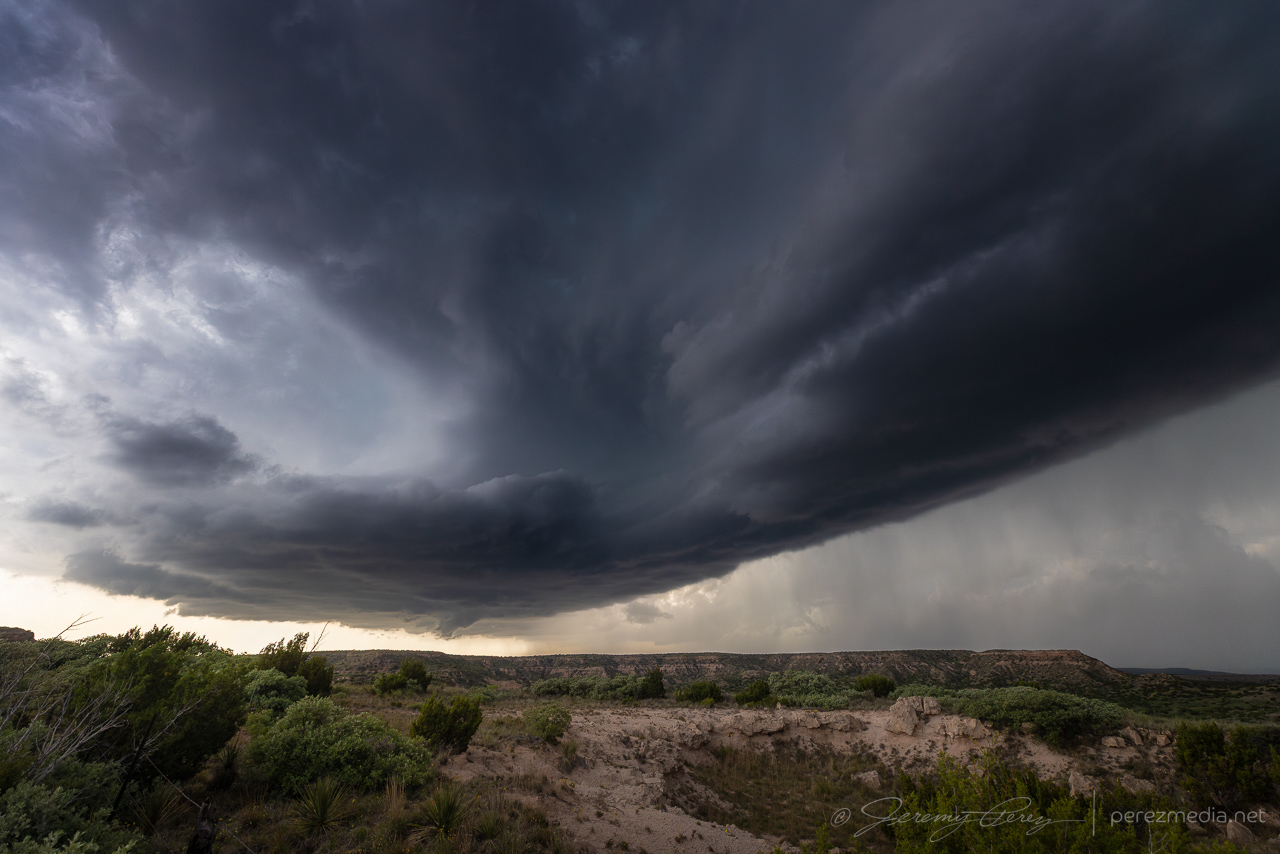
I dodged southwest of the forward flank and got in front of it in time to watch a new RFD cut slice in and tighten up. As I was deciding whether to surf the cell down the farm grid, a plume sprouted just to the north beneath the hub of the circulation and convinced me to hold off and skirt a bit further to the west.
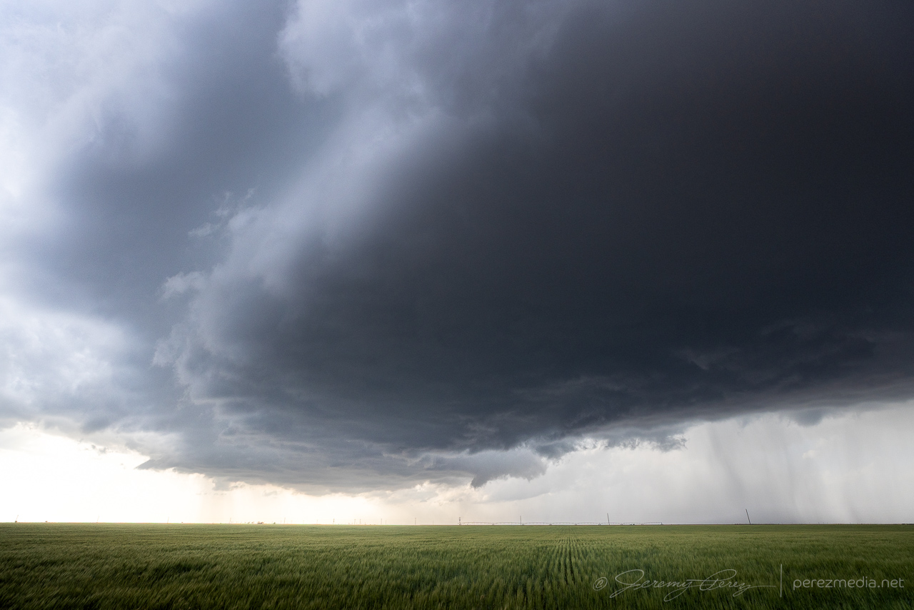
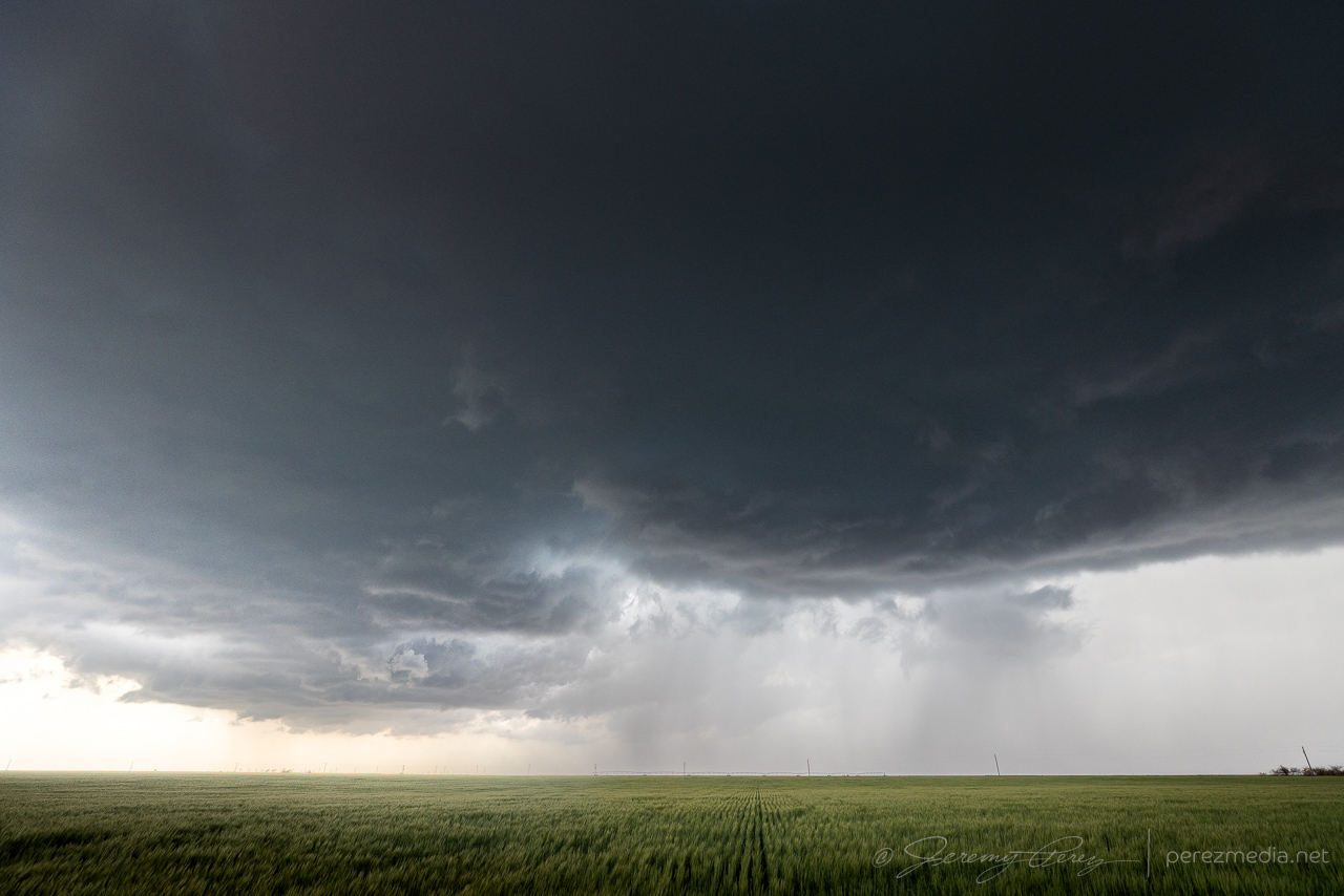
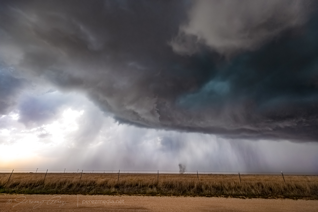
I made it down to CR178 and then back east toward the storm. After pushing through the haze, an impressive, rapidly spinning wall cloud appeared straight ahead.
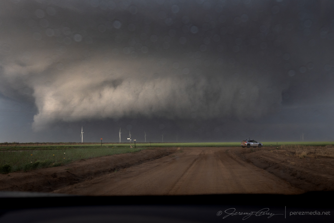
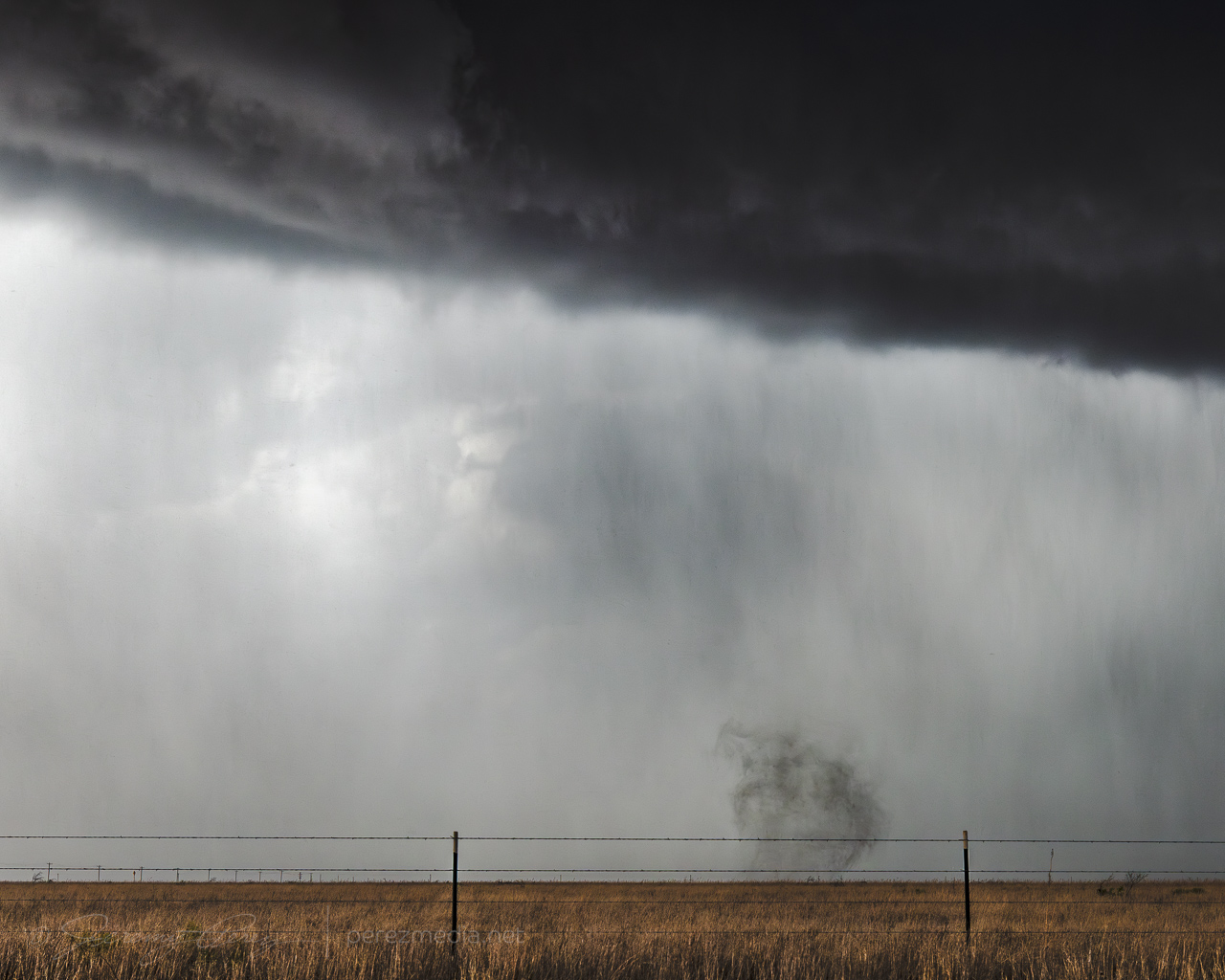
I turned south at CR271 and started grabbing video and stills as a tornado emerged from the shadows. As it widened, turbulence at the base revealed churning subvortices. Just as I was trying to lock in the video camera on the window mount, the ball head lock nut loosened up and all the camera wanted to do was fall to the side. Getting simultaneous video and stills was huge challenge with that going on.
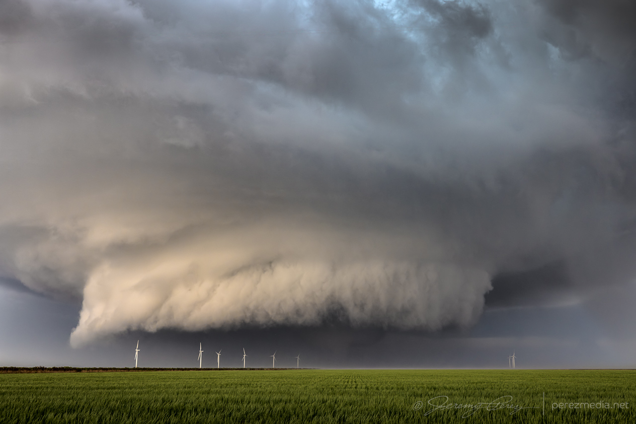
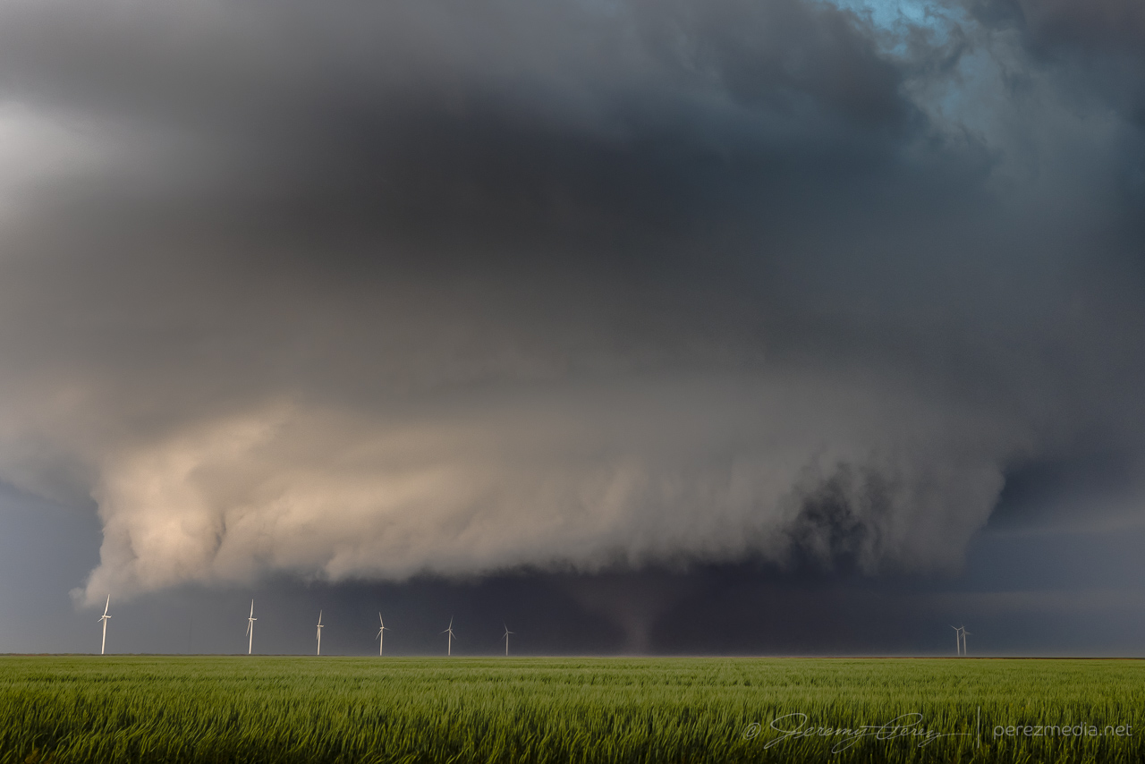
Tornado beginning to materialize and clearly condensing WNW of Matador — 0015Z.
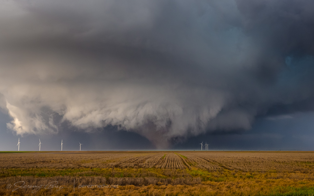
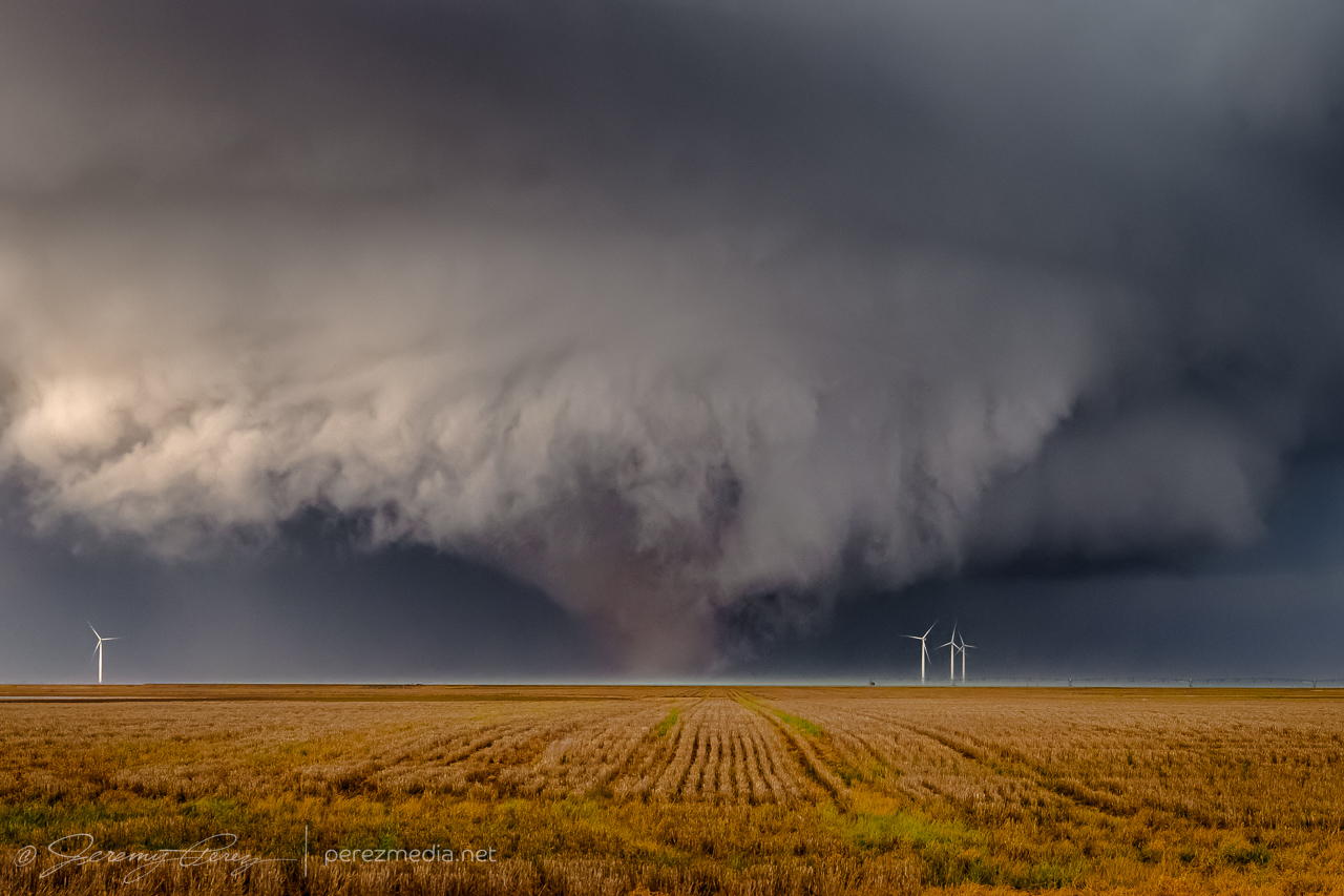
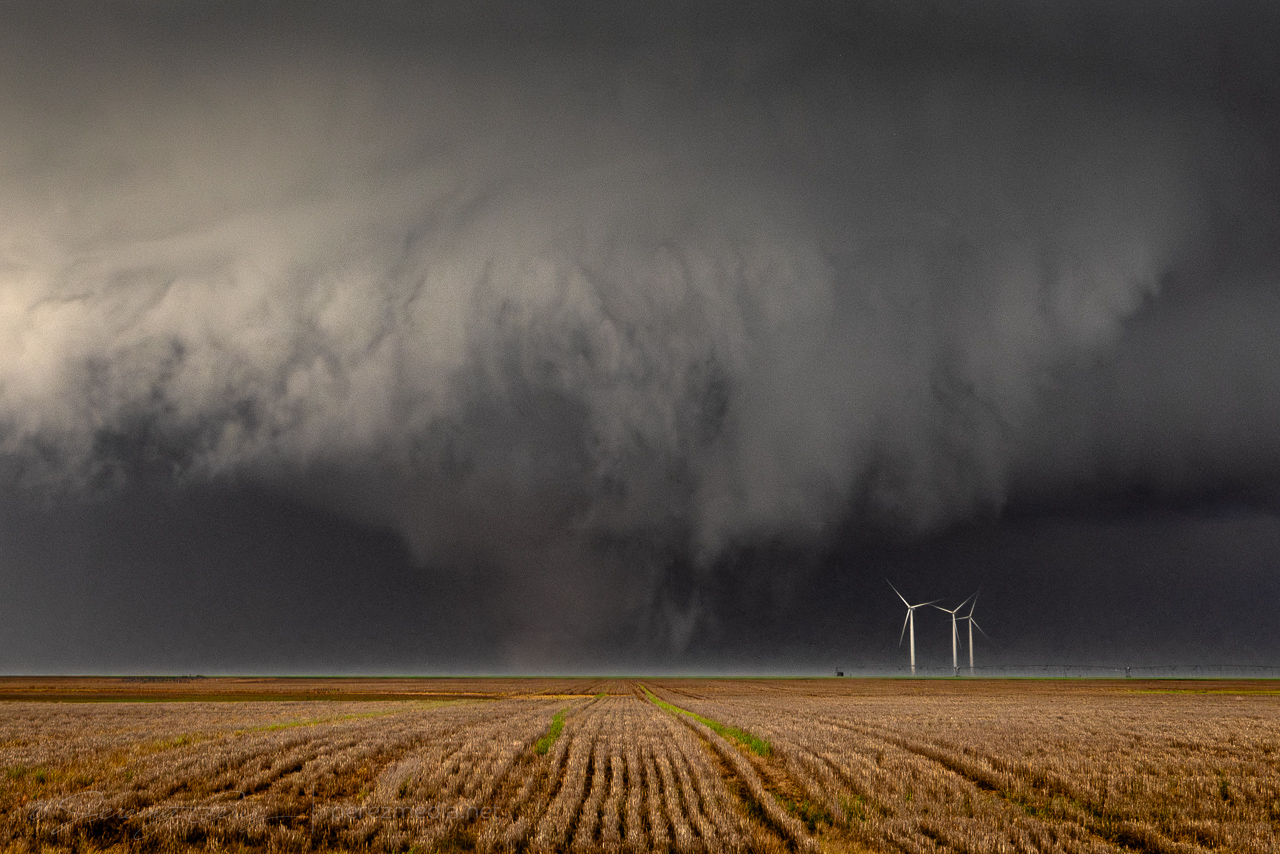
The west side of it was a great view with front lighting showing the subtle contrast in color between lofted debris in the funnel and cleaner vortices and wall cloud. But I only had about 3 minutes with it before it got obscured in rain. I headed further south and then east on Highway 62 and got a view of the hazy brown cone tucked under the wall cloud.
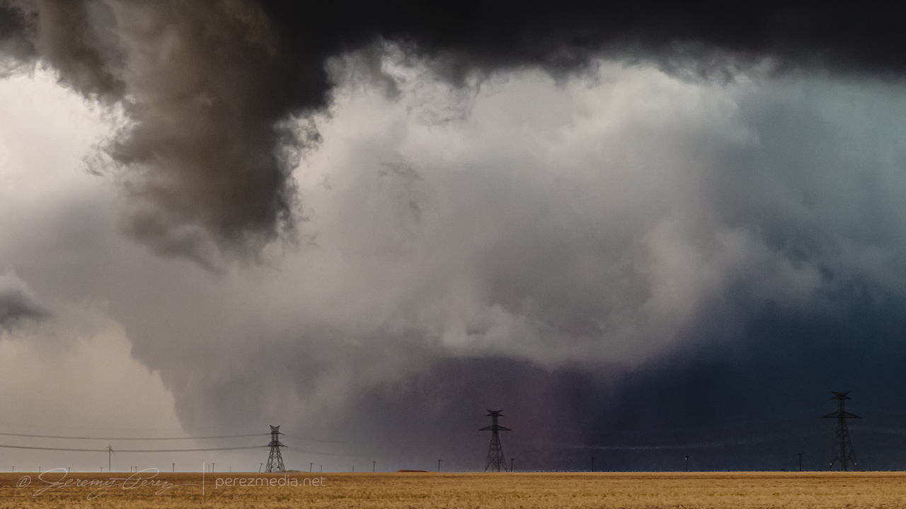
Five miles further east I got back ahead of it just in time to watch the tornado move in for a couple minutes before dodging back out of the way and watching the storm move off.
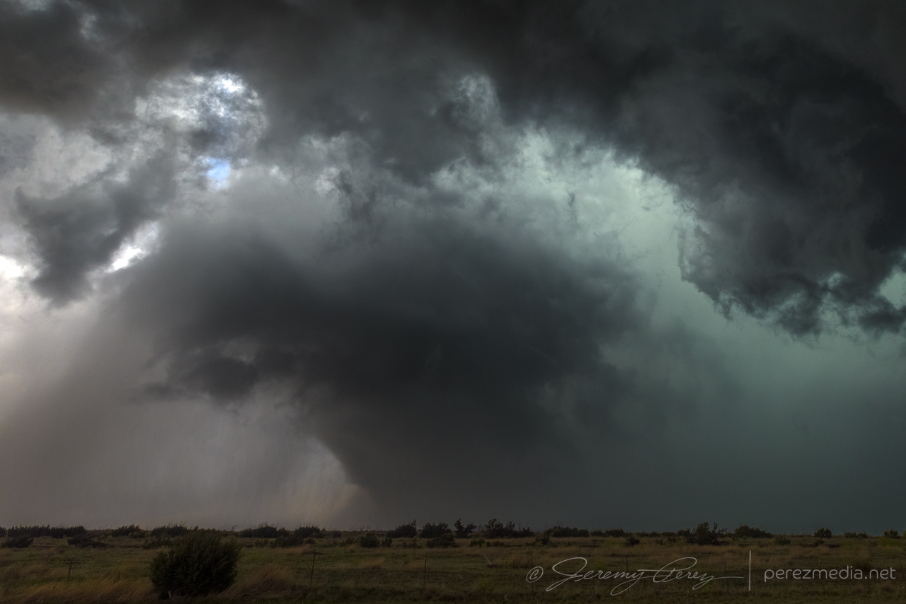
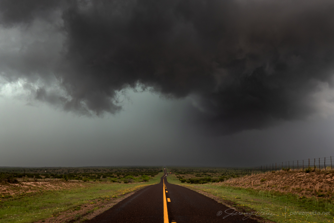
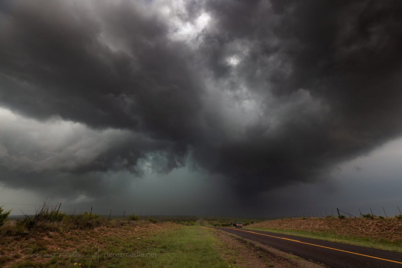
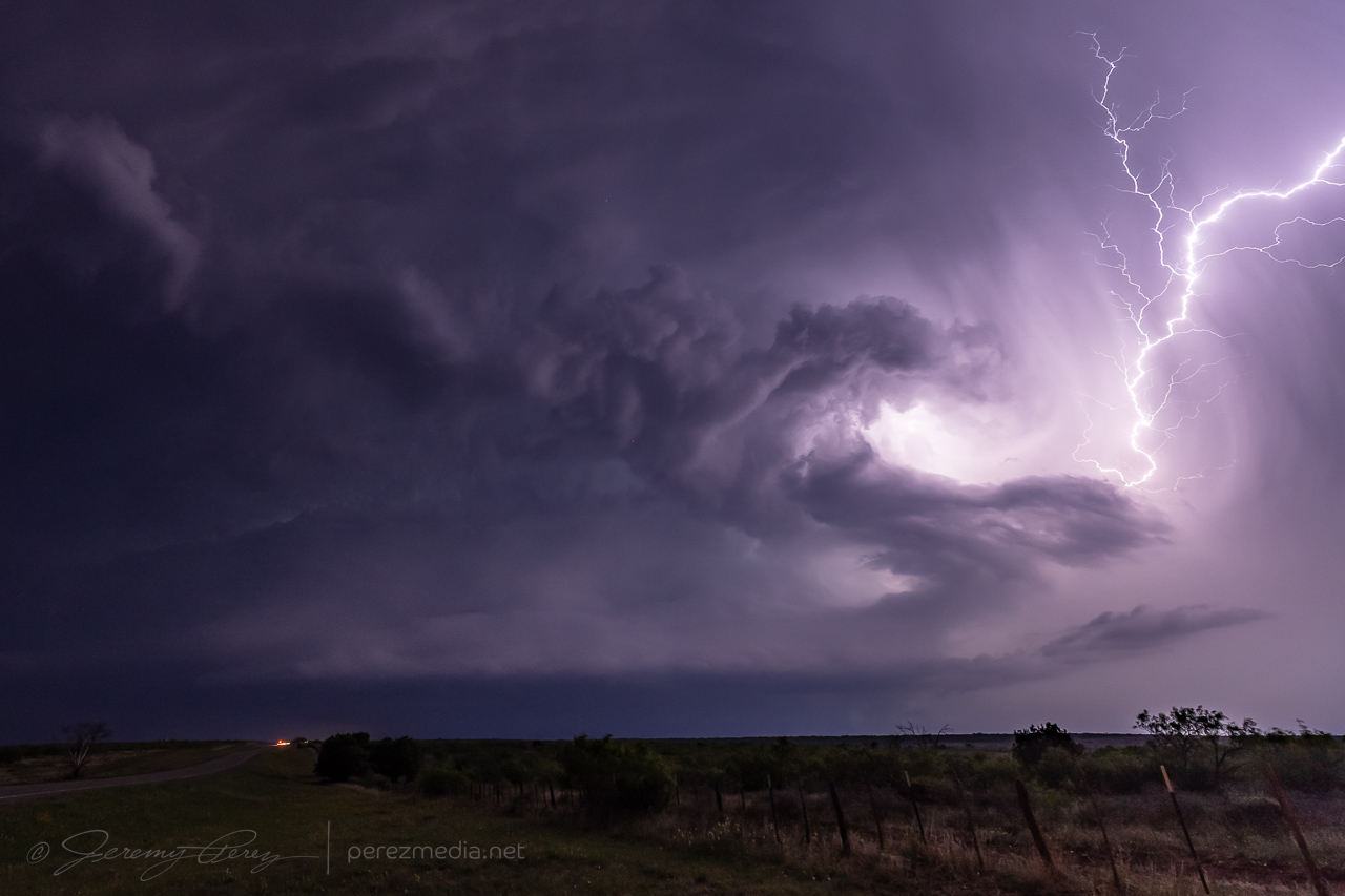
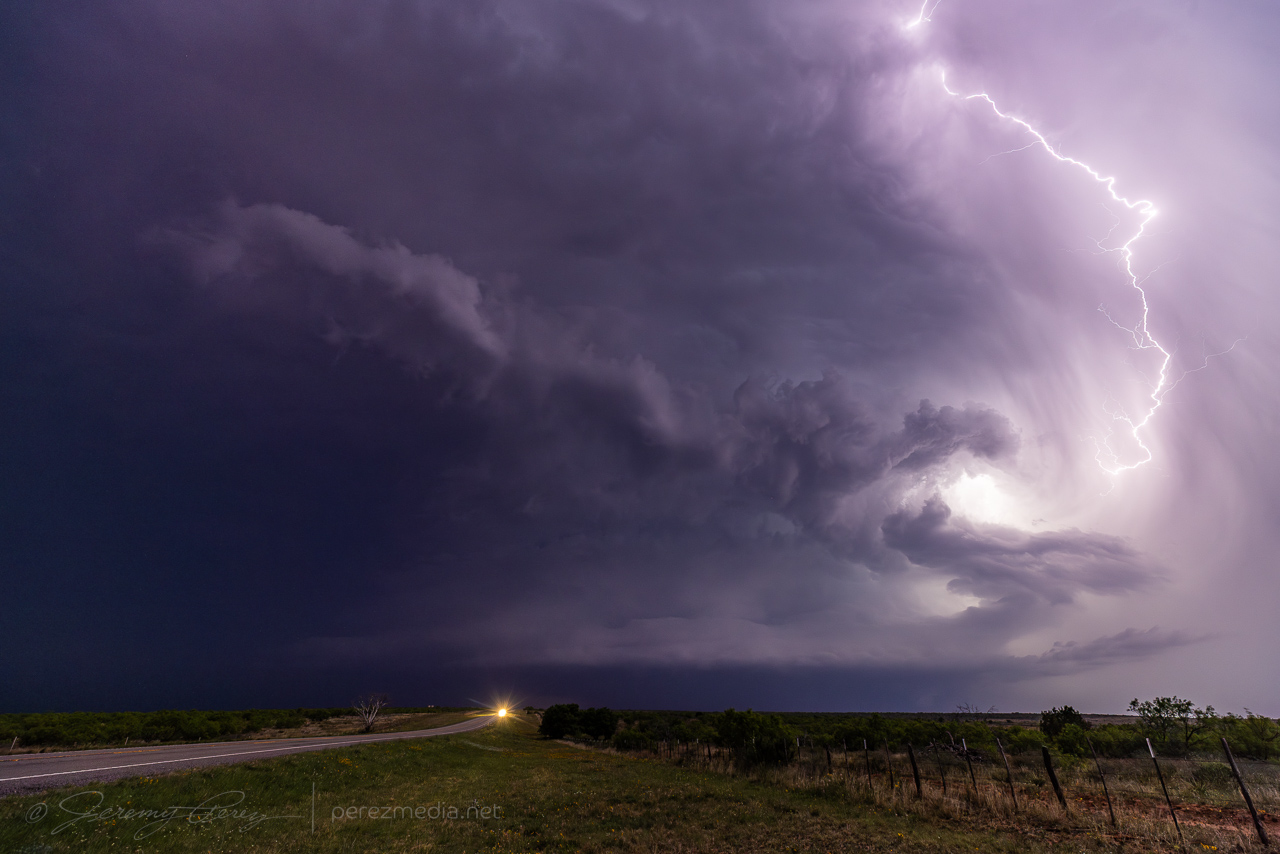
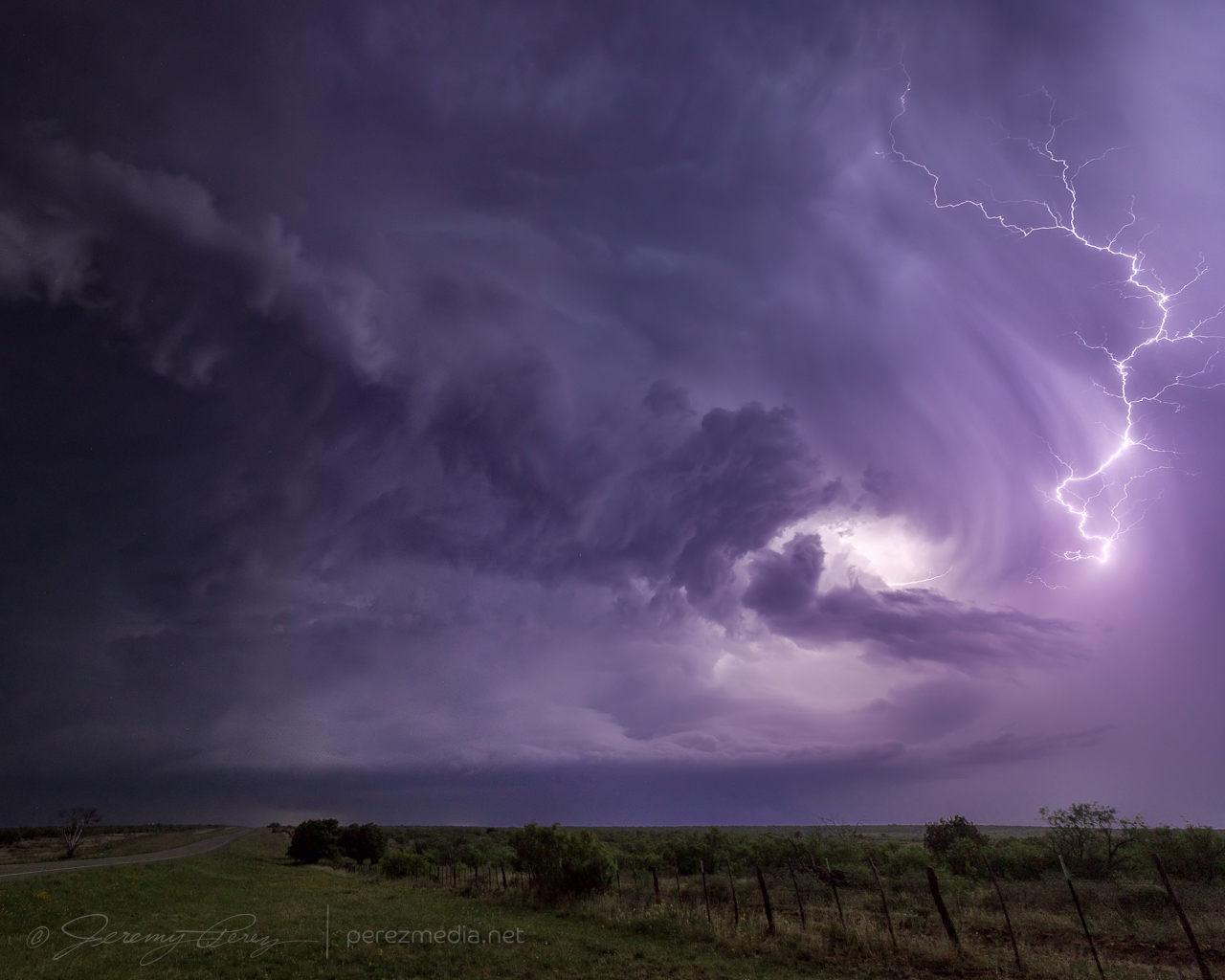
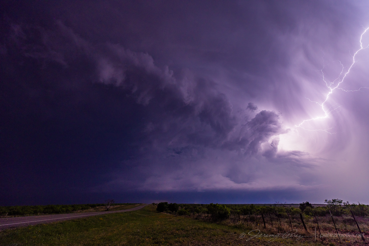
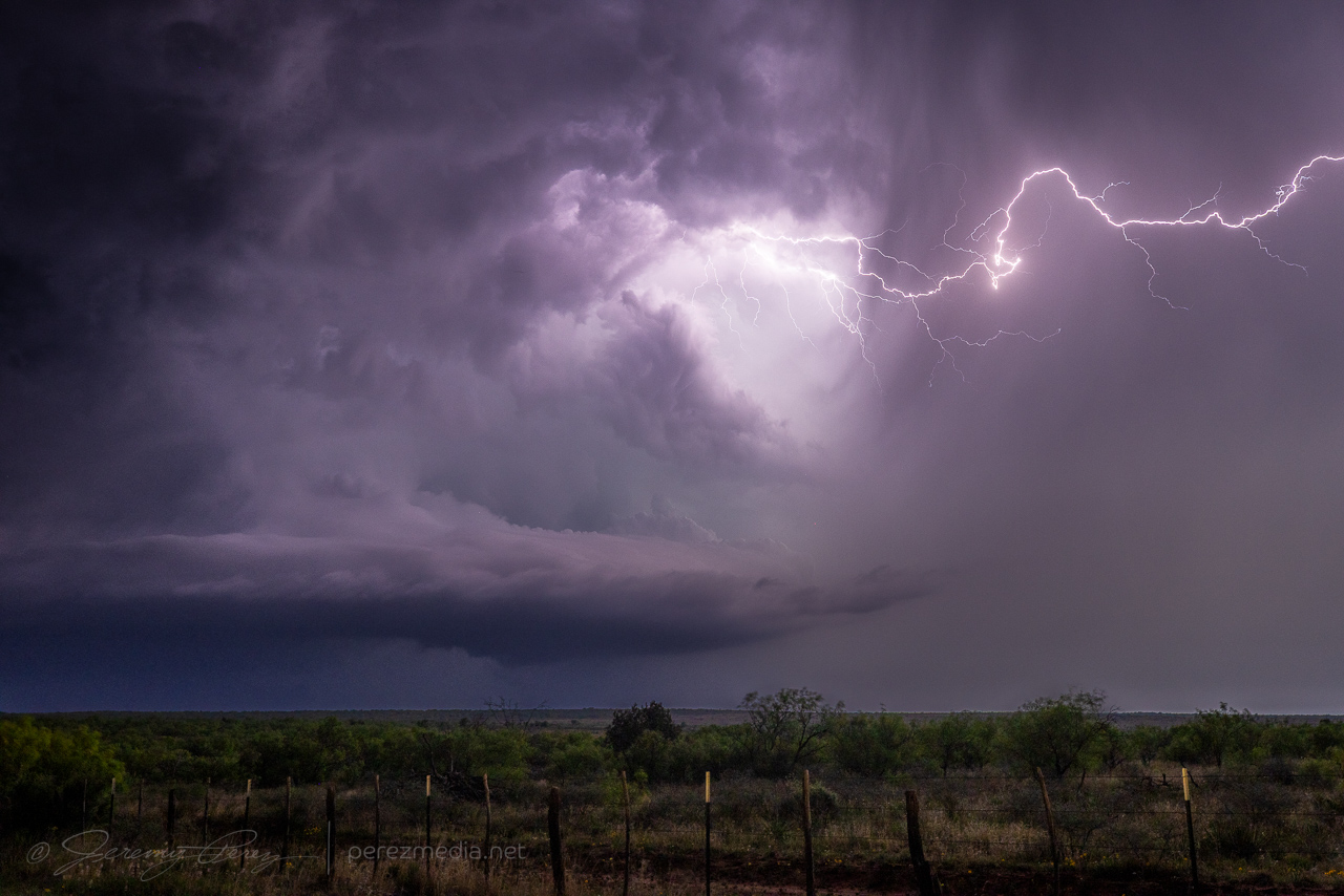
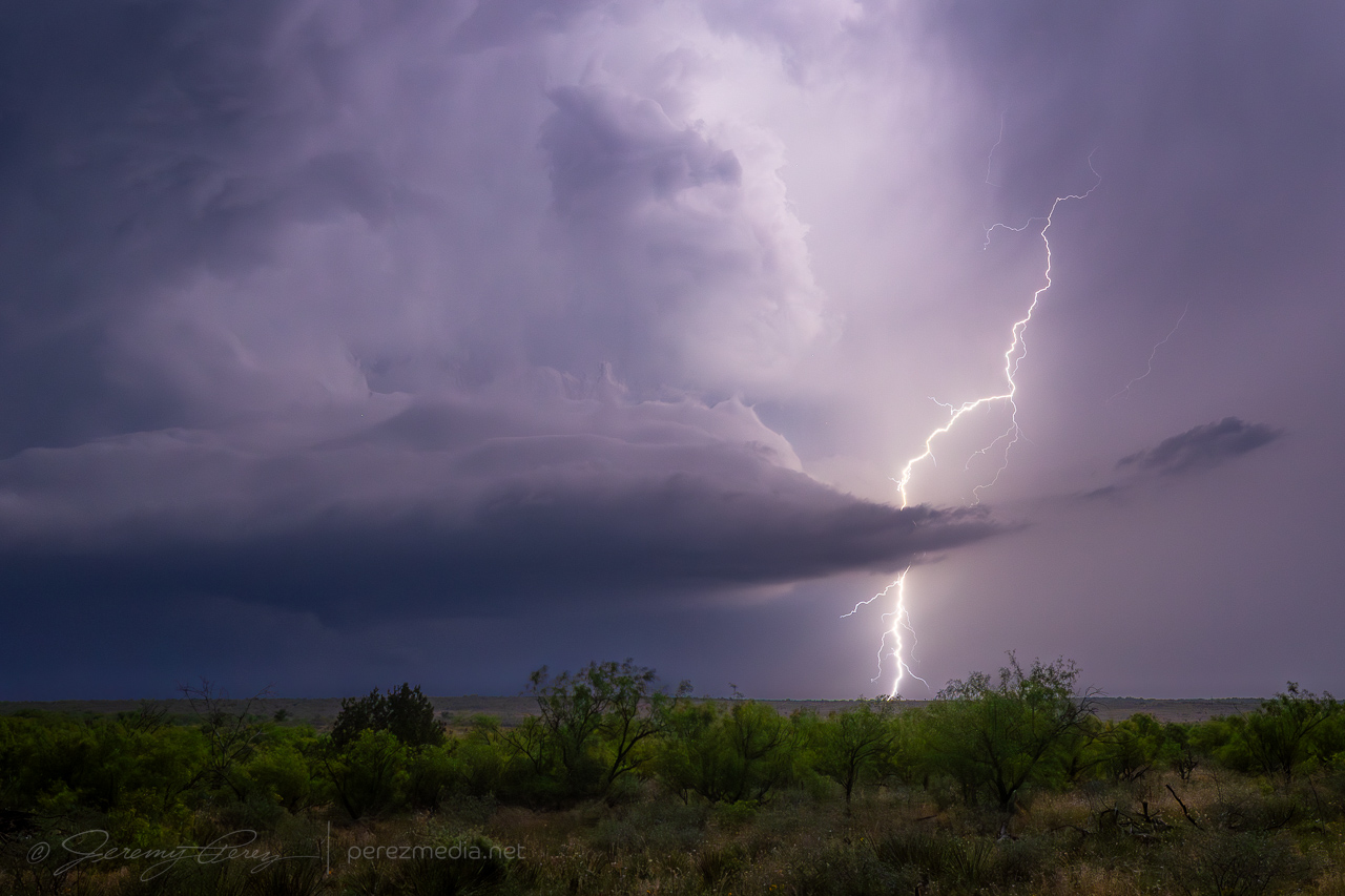
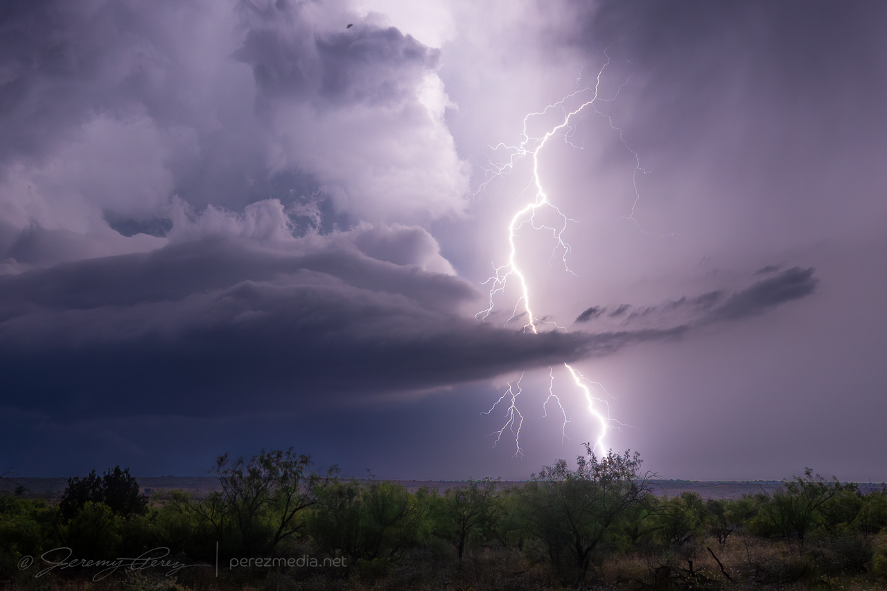
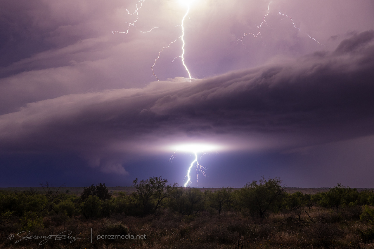
A much heftier supercell was brewing to the south, so I headed that way for an evening light show east of Post. As I got there, the storm went elevated, shrunk down and gave up a few good strikes before going dark.


Community Comments
There are no comments on this post
Want to leave a comment? Join our community → OR Login →