

Published on
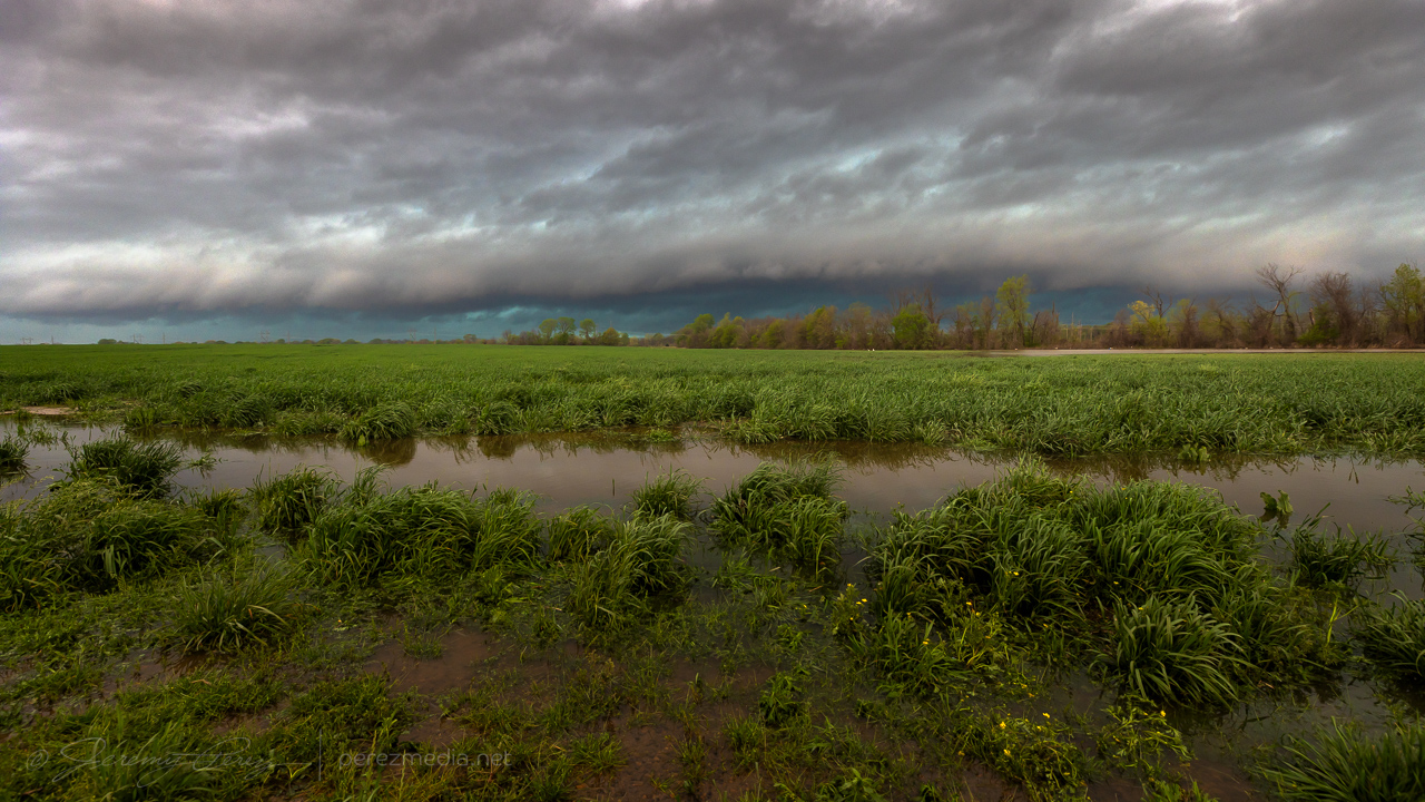
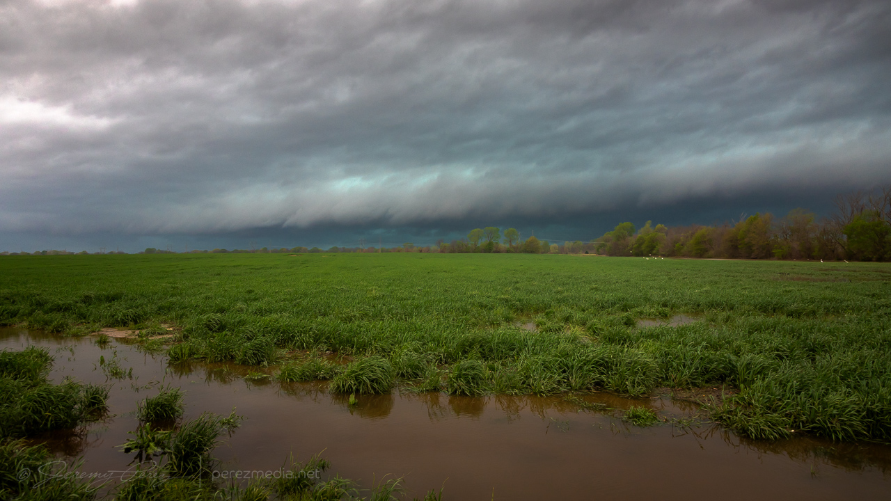
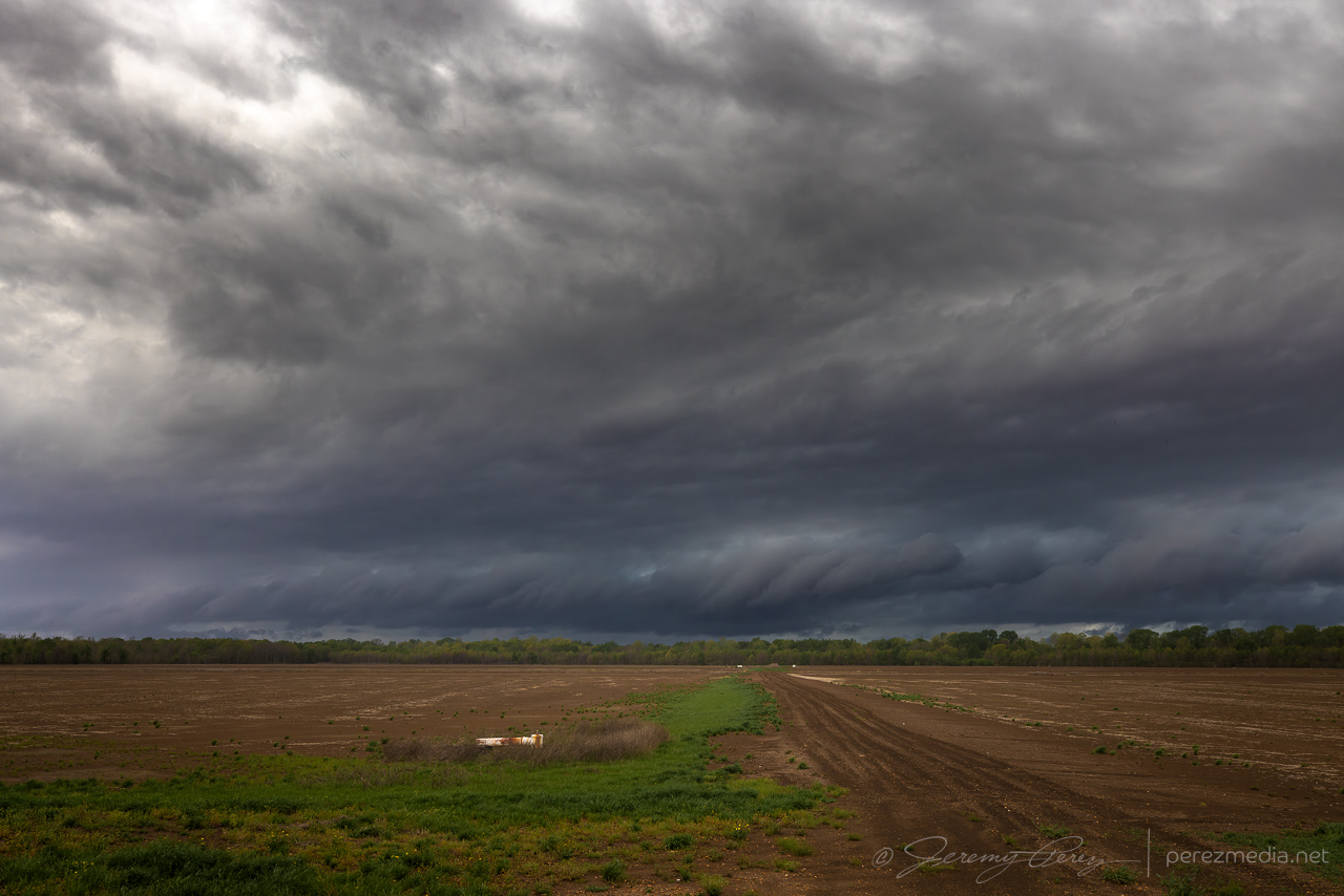
Fresh off an amateur damage survey around Wynne and Earle, Arkansas, I headed into Mississippi to intercept a line of storms moving across the river. Embedded supercells were the most I could count on, I figured, and I just worked on zipping down the line from Glover to Banks to Falcon then Eaglesnest. Shelf clouds and rain-obscured lightning dressed up the marshy landscape in the flood plain.
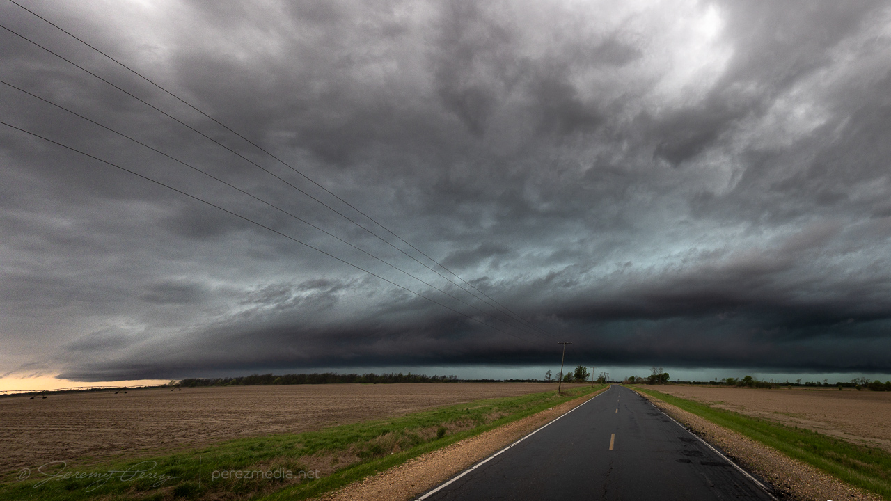
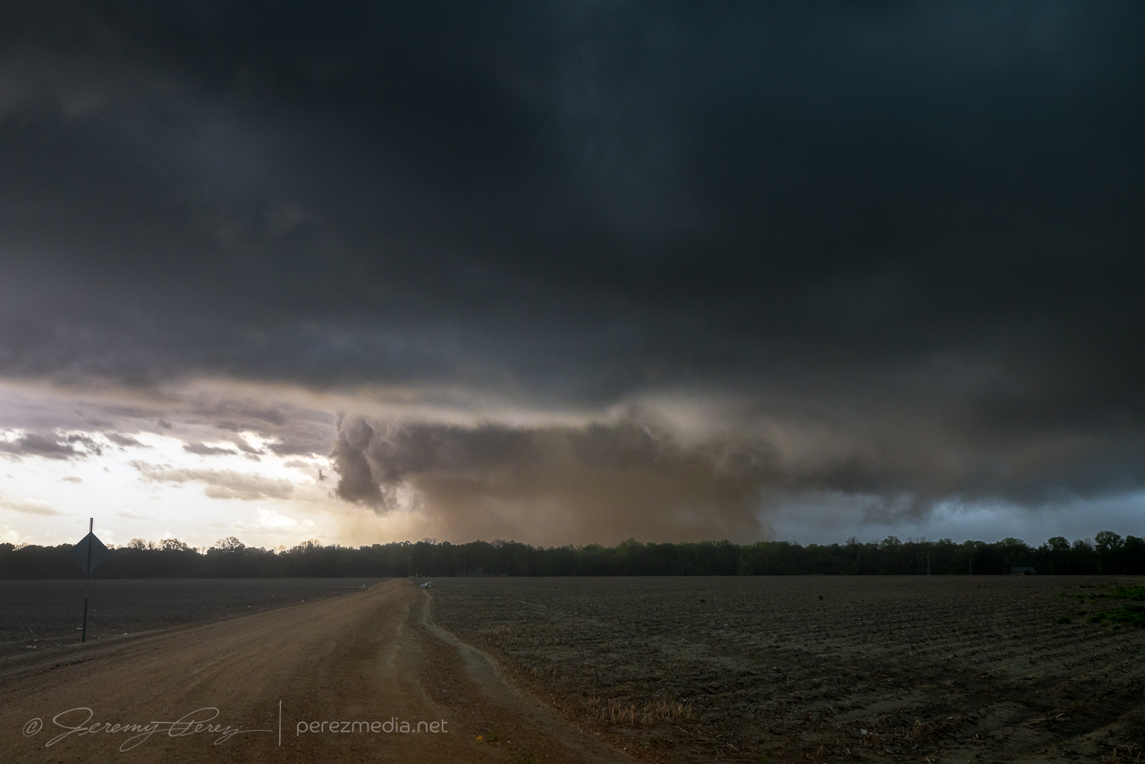
After passing through Tutwiler, a tail-end storm looked like it was remaining discrete to my south. As I got closer on Hwy 49E, the cell came into view with a blocky wall cloud hovering over the trees ahead.
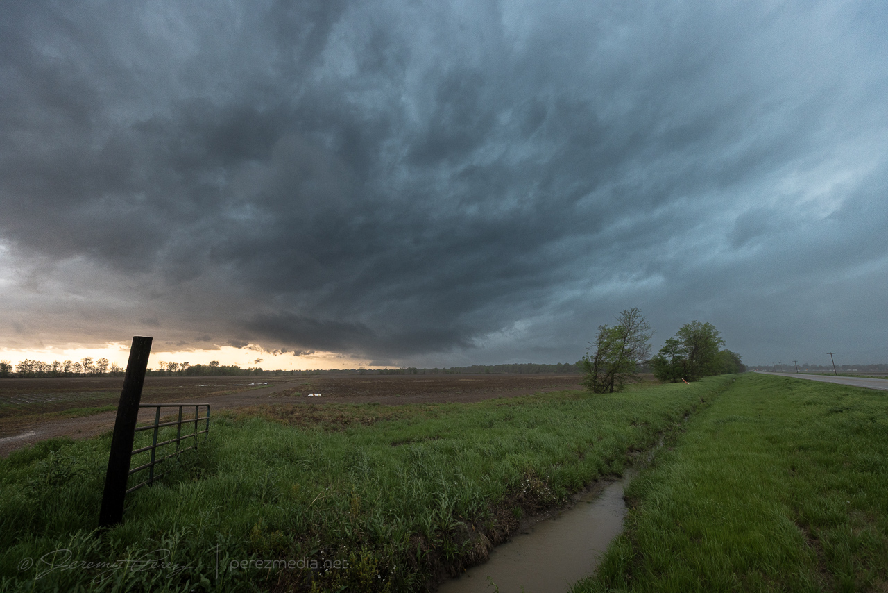
After the last couple days of outflow driven lines of storms, this was an exciting few minutes as the area beneath the wall cloud took on a dirty brown color. Something interesting was happening and I finally found a farm road with a reasonably good view that still had a row of trees in the way.
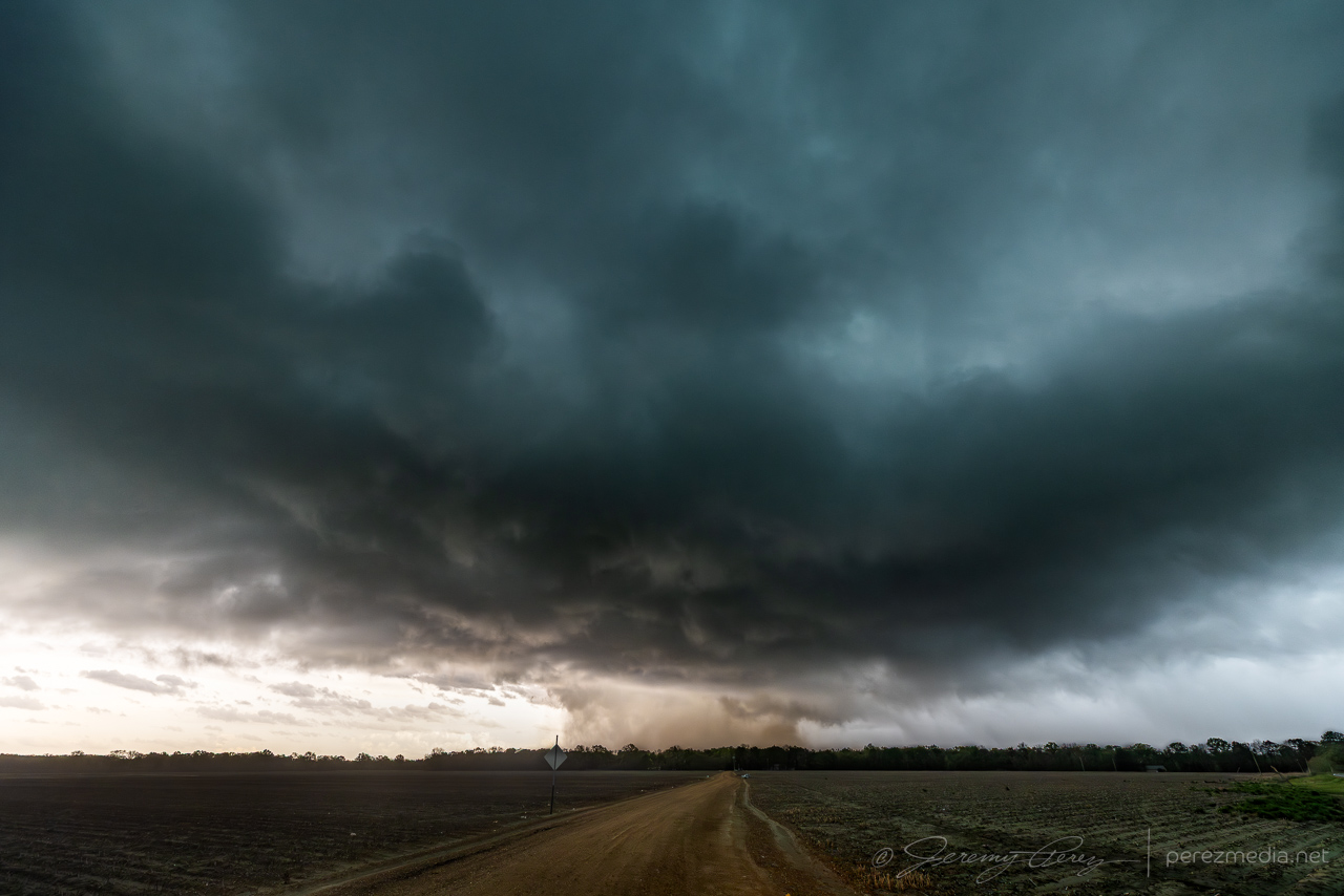
The fuzzy wall of dirt beneath the storm was strange. There was not a lot of motion throughout, but the right edge was the most solid part and seemed to be the source of the commotion. Chasers closer in confirmed it was a tornado and video seems to show that the right edge was where the marginally stronger circulation was feeding dirt into the larger vortex.
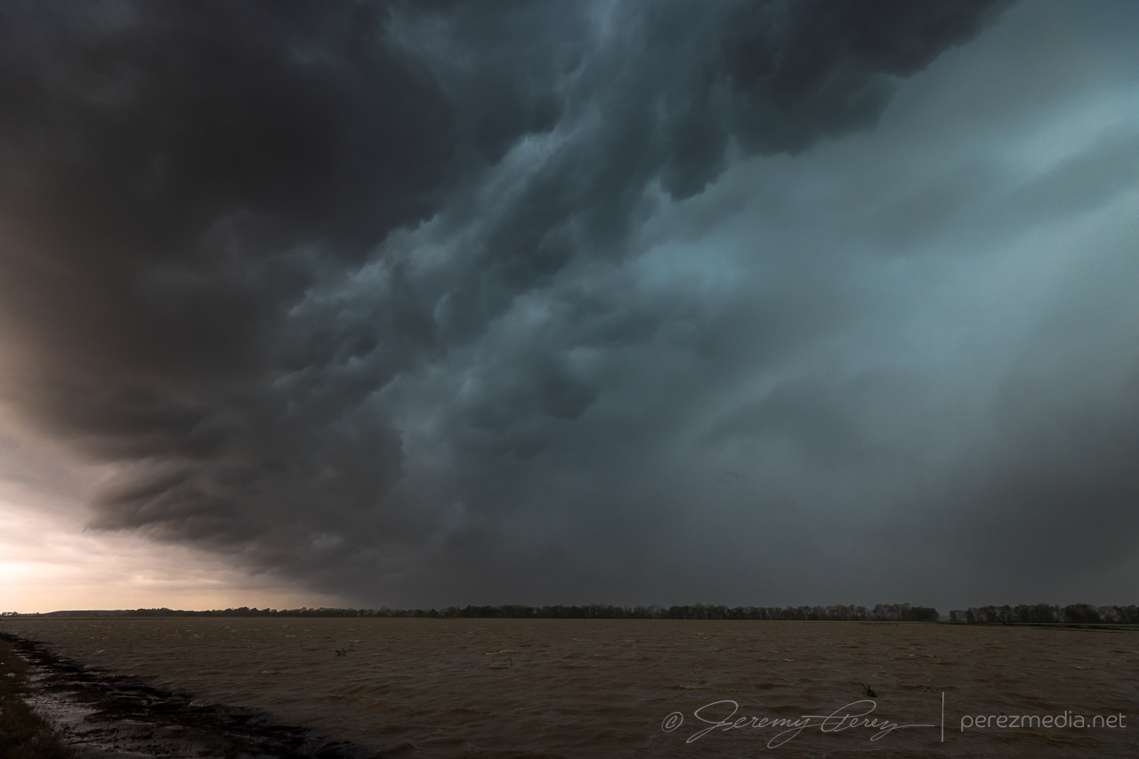
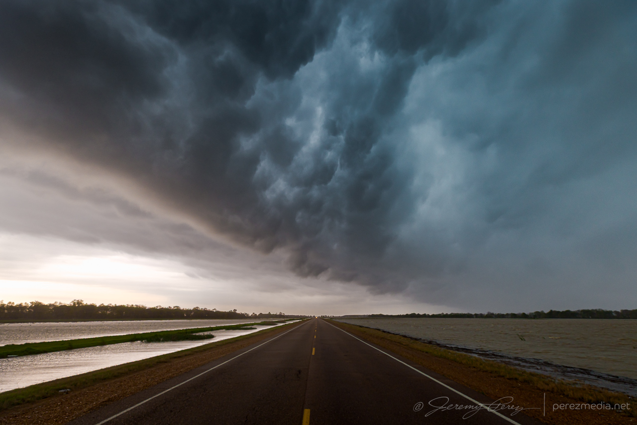
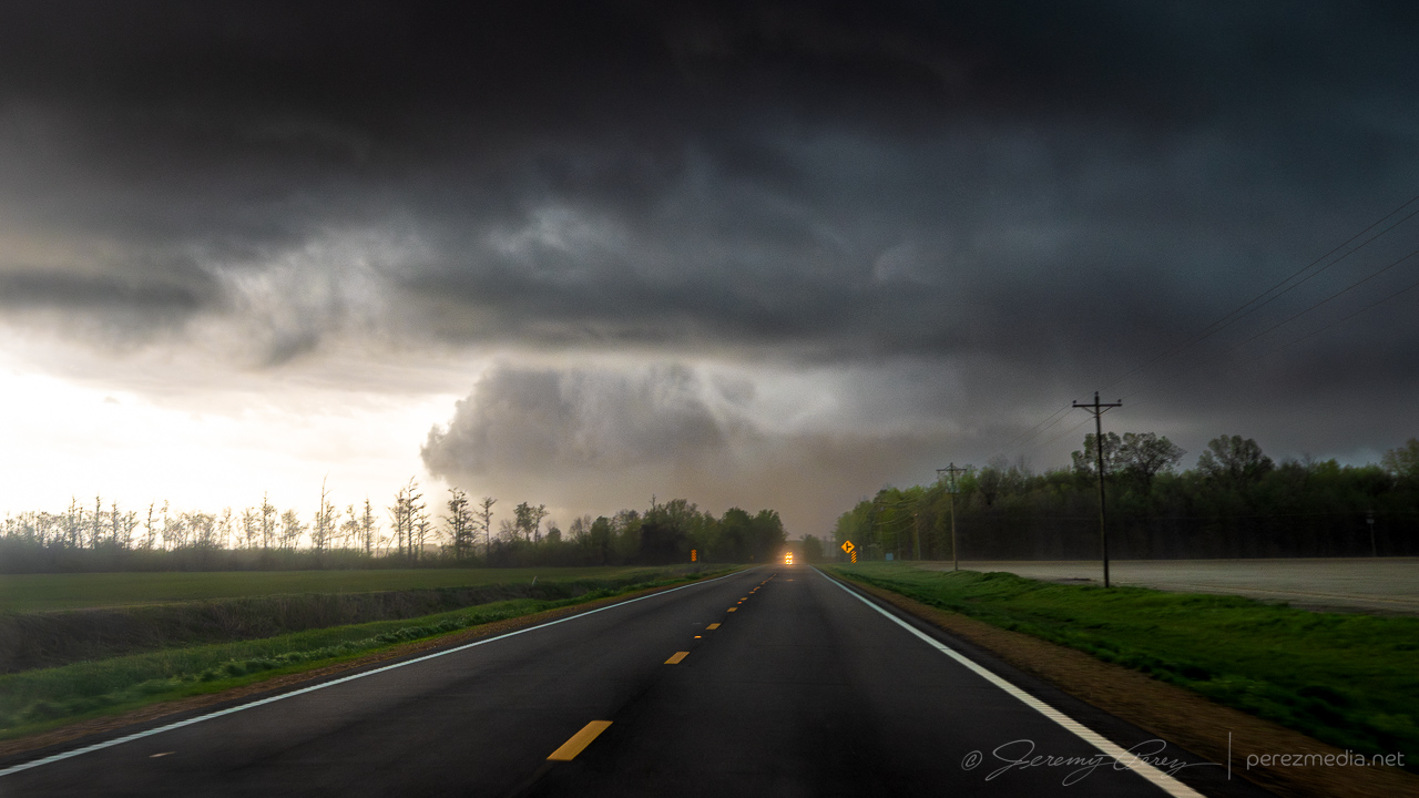
As the forward flank/advancing line started to rain on my spot, I took off east along Route 8 to see if I could pop out somewhere with visibility. Although I was trying to come out behind the passing storm and get a view as it drifted to my north, I couldn’t escape the blinding rain and decided to hold back because of poor situational awareness. I eventually crossed tree debris strewn across the road where it had passed and let the whole thing go as it moved into the hills and trees beyond.
The NWS damage survey rated the initial dusty tornado as EF-1. It looks like that one then handed off to a new EF-1 tornado that was responsible for the damage path across Route 8. After a tough few days it was an encouraging end point with an exciting 15 hours or so from the Arkansas QLCS tornadoes overnight to this odd dust barrel tornado in Mississippi.

Community Comments
There are no comments on this post
Want to leave a comment? Join our community → OR Login →