

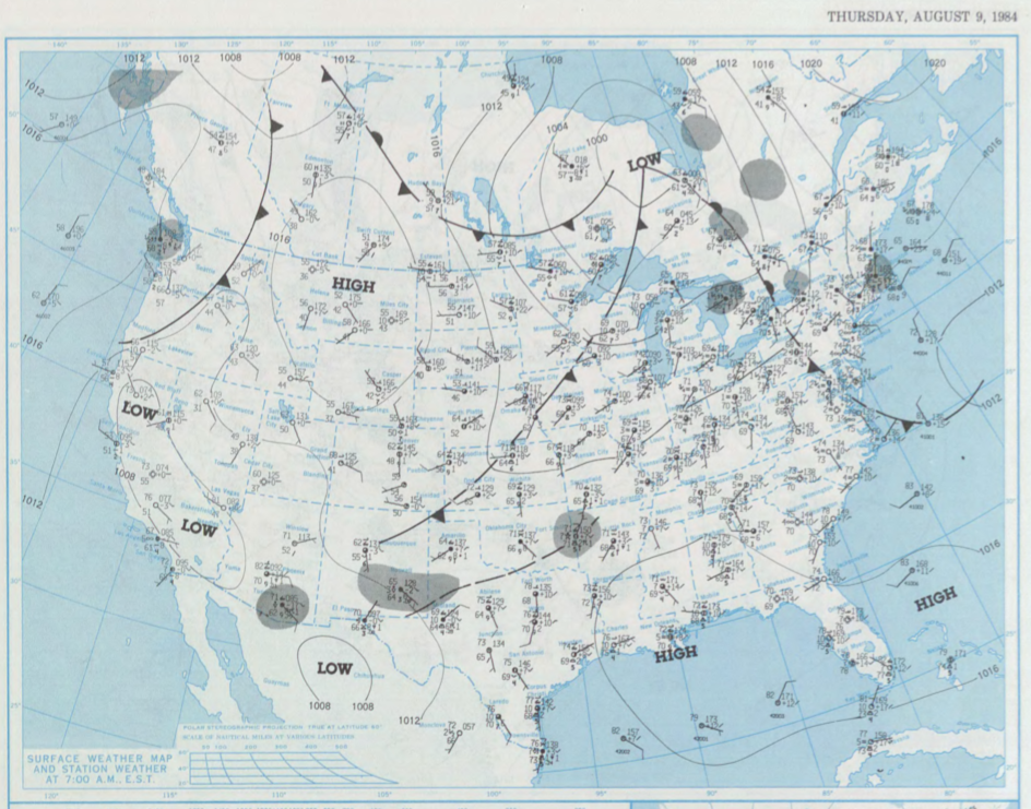
Figure 1 depicts the surface observations at 7:00 am EST, which shows a cold front moving east across Western Alberta. This front was the focus for thunderstorms, which ultimately resulted in two tornadoes. The second tornado was:
According to Environment and Climate Change Canada (2018), an F0 tornado touched down near Campsie, AB. The path and width of the tornado was not documented by ECCC. The tornado caused $15 thousand dollars in property damage.
Sources
NOAA Central Library. (2019). U.S. Daily Weather Maps. Thursday August 9, 1984 [PDF]. Retrieved from https://library.noaa.gov/Collections/Digital-Collections/US-Daily-Weather-Maps
Environment and Climate Change Canada Data. (2018). Canadian National Tornado Database: Verified Events (1980-2009) – Public. Retrieved from: http://donnees.ec.gc.ca/data/weather/products/canadian-national-tornado-database-verified-events-1980-2009-public/