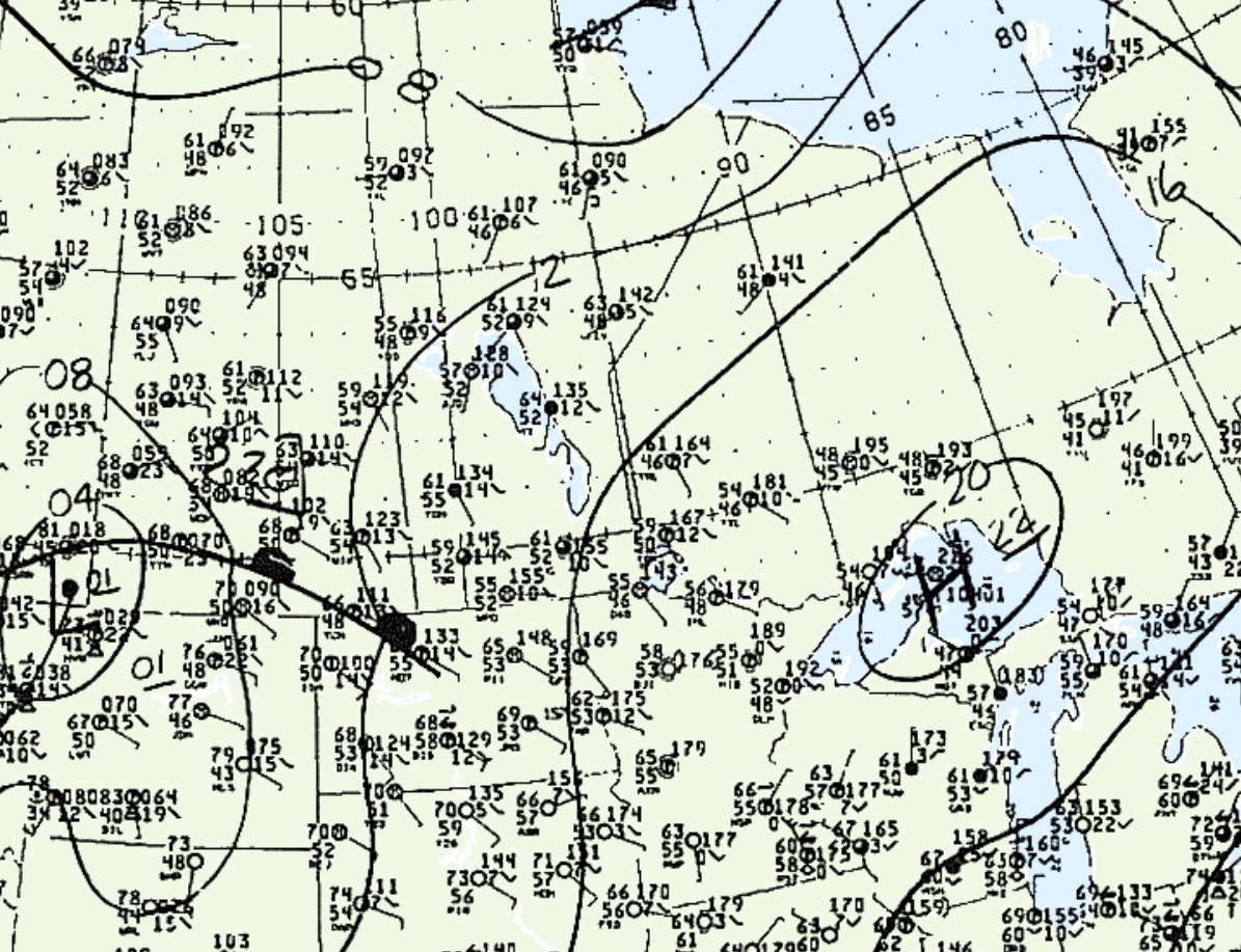
Figure 1 shows the surface observations at 10:00 pm CDT, which shows a high pressure system over Lake Superior and a warm front across southern Saskatchewan. The combination of terrain interactions across Westman and possibly the advancing warm front could have triggered storms across western Manitoba.

According to Environment and Climate Change Canada (2018), an F1 tornado touched down at 9:00 pm CDT near Gilbert Plains, MB. The track and width of the tornado was not documented by ECCC. The tornado caused no fatalities, injuries or property damage.
Sources
NWS Weather Prediction Center Surface Analysis Archive. (2017). Surface analysis 03Z Wed Aug 5 1987. Retrieved from: https://www.wpc.ncep.noaa.gov/archives/web_pages/sfc/sfc_archive.php
Environment and Climate Change Canada Data. (2018). Canadian National Tornado Database: Verified Events (1980-2009) – Public. Retrieved from: http://donnees.ec.gc.ca/data/weather/products/canadian-national-tornado-database-verified-events-1980-2009-public/

