This probable tornado struck early, at 6:15 am, with witnesses reportedly observing a funnel cloud. Trees and hydro poles were knocked down, a shed and a garage were lifted and destroyed, and a barn was blown over. This was one of two tornadoes to touch down in Southern Ontario on August 8; the other was an F1 at Markham.
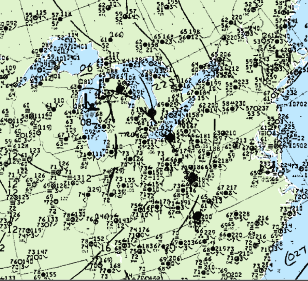
Figure 1 depicts the surface chart on the morning hours of August 8th. A low pressure is observed in Michigan with a warm front entering southwestern Ontario. This warm front initiated storms and ultimately this long-track F1 tornado.

According to Environment and Climate Change Canada (2018), an F1 tornado touched down at 6:15 am EDT near Chatham-Kent, ON. The tornado travelled for 10 km and the width of the tornado was not documented by ECCC. The tornado caused no injuries, fatalities or property damage.
Sources
NWS Weather Prediction Center Surface Analysis Archive. (2017). Surface analysis 09Z Sat Aug 8 1992. Retrieved from: https://www.wpc.ncep.noaa.gov/archives/web_pages/sfc/sfc_archive.php
Environment and Climate Change Canada Data. (2018). Canadian National Tornado Database: Verified Events (1980-2009) – Public. Retrieved from: http://donnees.ec.gc.ca/data/weather/products/canadian-national-tornado-database-verified-events-1980-2009-public/

