Published on
A Moderate risk day with the possibility of strong tornadoes – May 21, 2024 looked like an interesting day. The problem: storm motions would be moving northeast at 55+ mph.
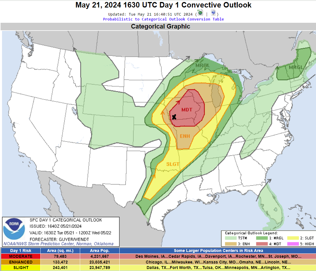
The Storm Prediction Center’s Outlook – the black X being our target of Glenwood, Iowa.
We jumped on the first storm to cross the Missouri River near our area – near Bartlett, Iowa.
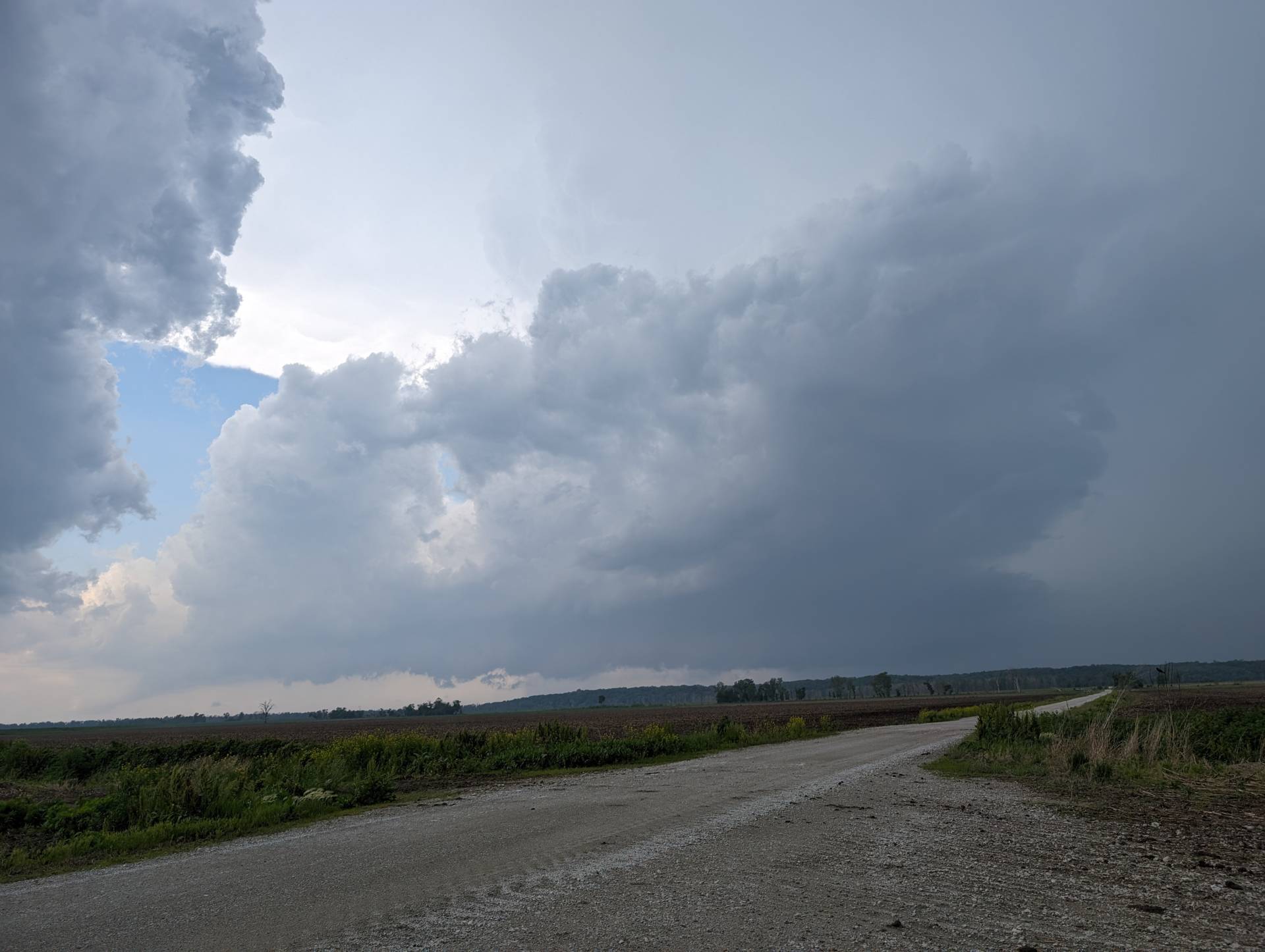
The first storm didn’t look overly impressive, but we did punch through some rain and found us a funnel to track.
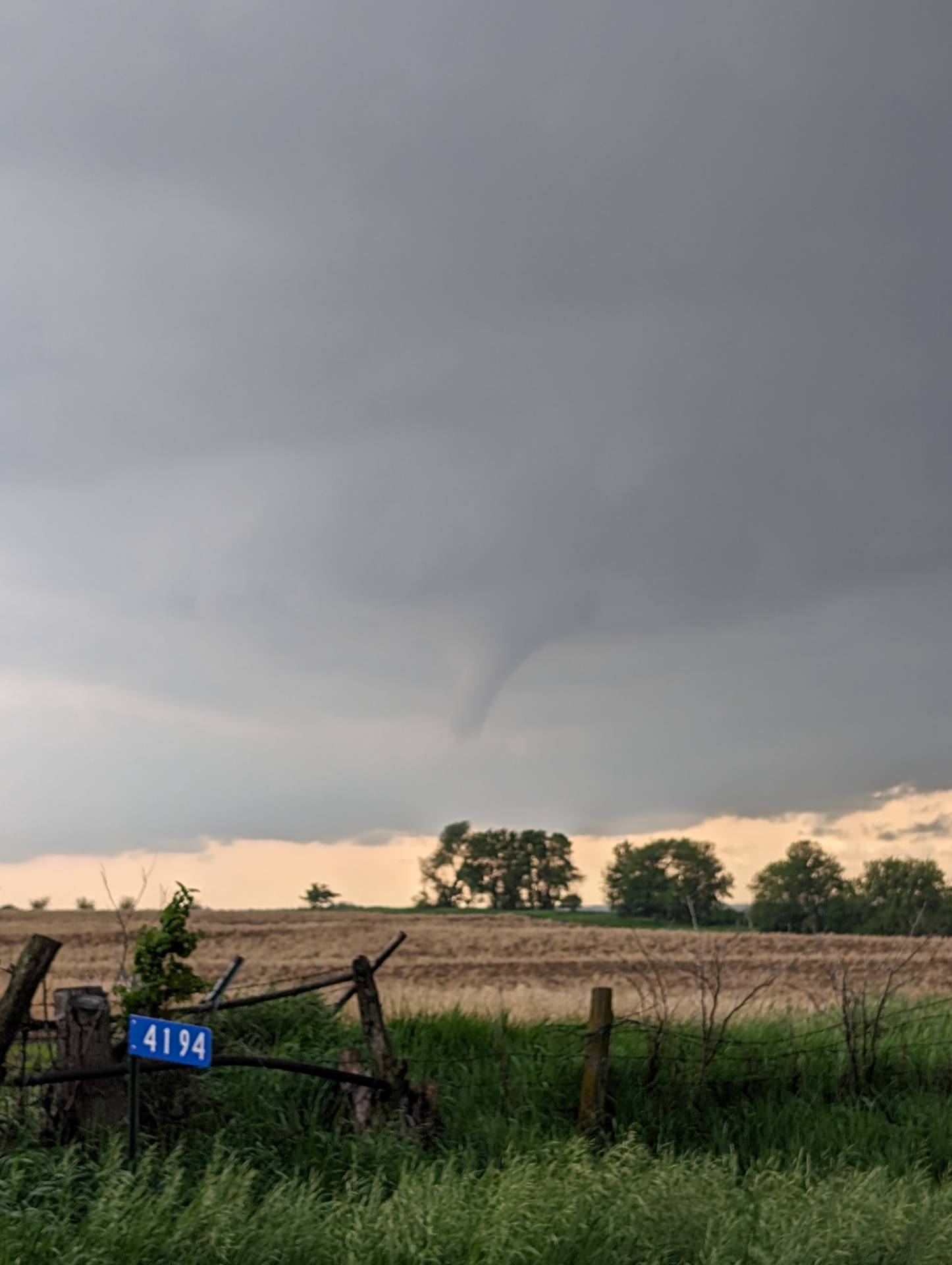
We reported the funnel to the National Weather Service. Other videos show this was stirring up dust underneath – the first tornado of the day. This storm continued toward Red Oak and produced more photogenic tornadoes. We were unable to keep up with it as it was moving at 60 mph.
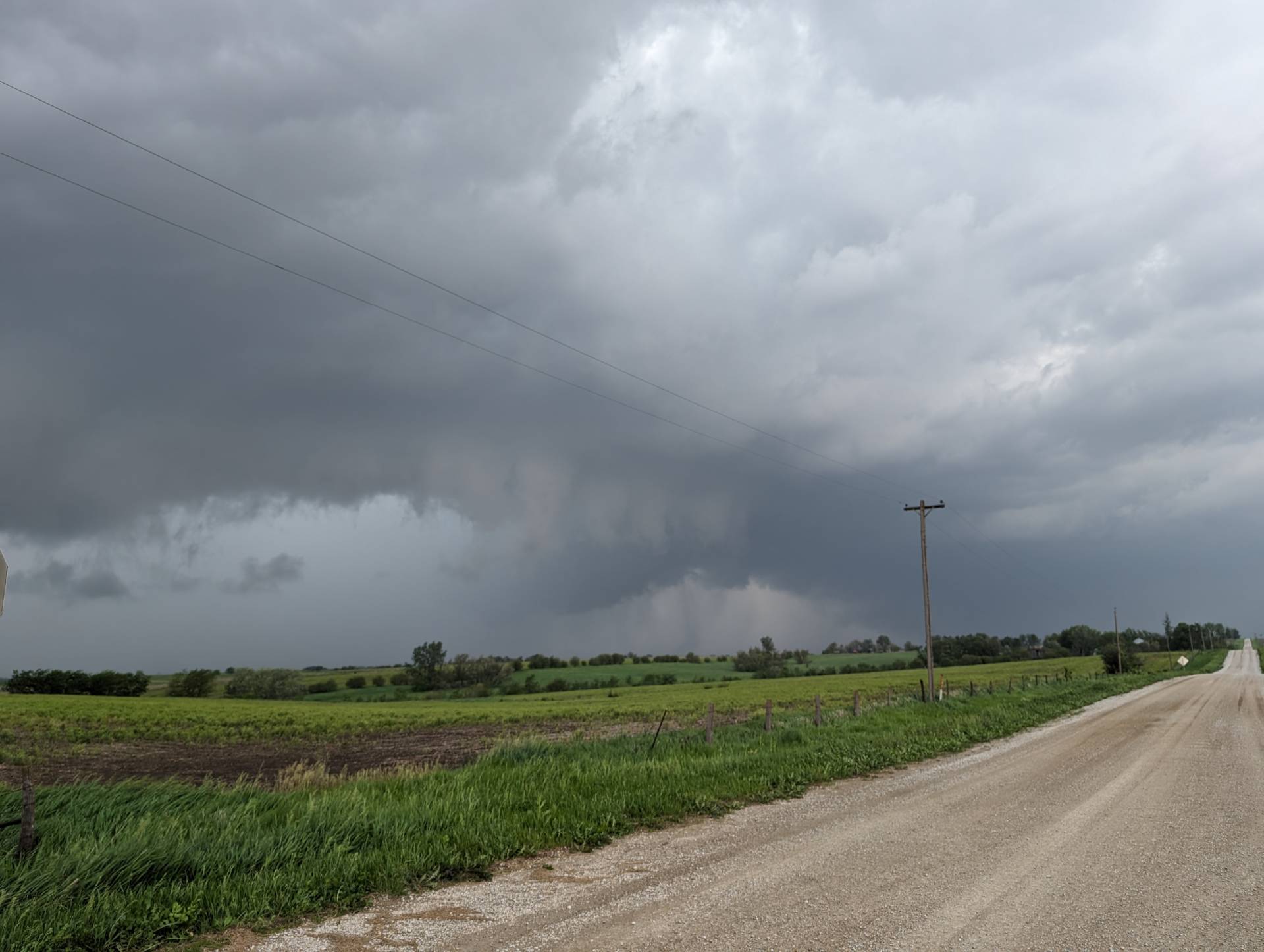
We jumped on the next storm south in the line – this beefy wall cloud was south of Villisca, Iowa. It would produce more tornadoes as it moved north.
We did capture another tornado near Corning, Iowa – but only was able to grab video. See the YouTube video later in this post.
We went through Corning – found some damage from the tornado we had just witnessed – but still ongoing northeast of Corning was this Elephant Trunk tornado below. It seemed to dissipate after several minutes of tearing around northern Adams County.
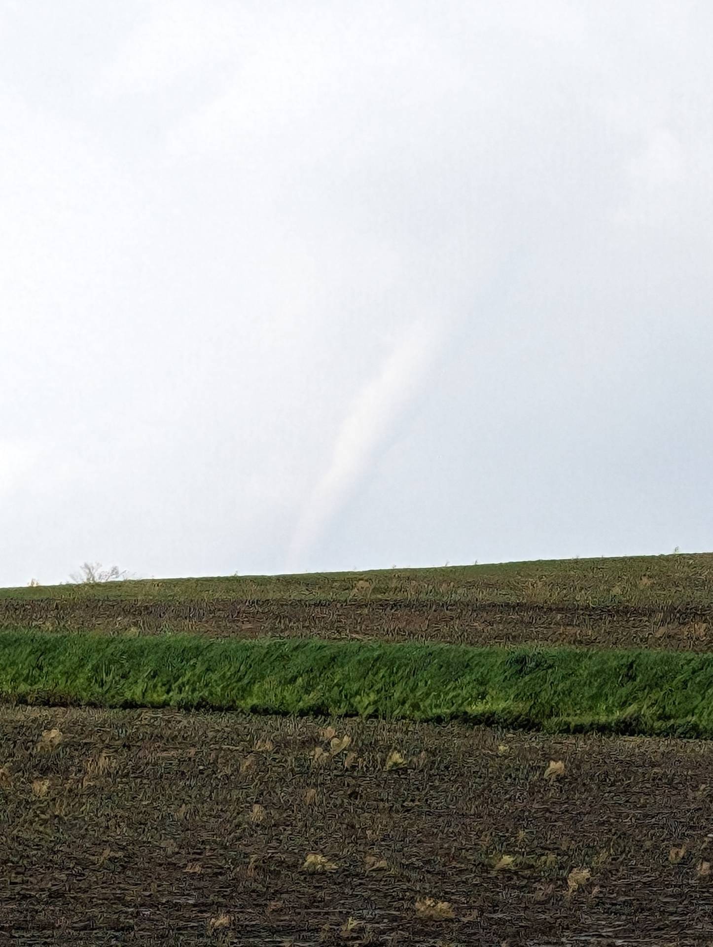
It was a tough chase day, with most storms being high in precipitation, and the storm motions of 55+ mph made it nearly impossible to keep up after the storm passed. We had a good chase and saw some good friends, but hate hearing about the damage and fatalities associated with these storms.


Community Comments
There are no comments on this post
Want to leave a comment? Join our community → OR Login →