

Published on
Wednesday, May 15 – the Storm Prediction Center highlighted an area of South Central Kansas into Northern Oklahoma. A backyard chase, if you will.
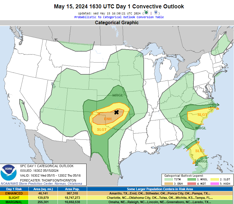
The high-resolution weather models kept hinting at potential development around Wellington, Kansas – south of Wichita about 30 miles. My initial target – the black X near South Haven, Kansas.
Storms quickly developed in Sumner County, Kansas shortly before 6 pm. I was right there from the get-go, as it was my target zone.
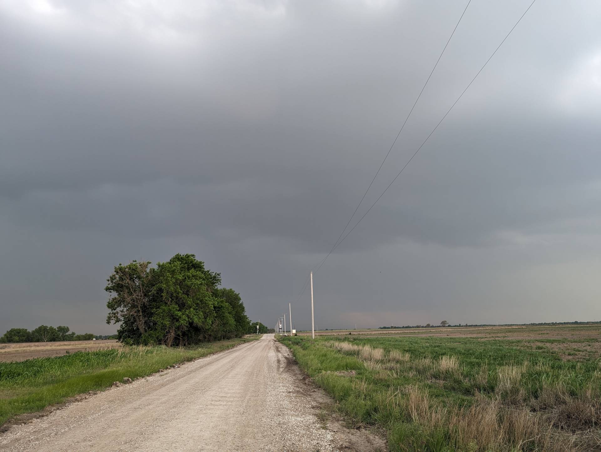
Storms quickly became severe with mid-level rotation. As storms were able to strengthen and the dominant storms became evident, I continued my southward trek to stay ahead of them. A wall cloud formed on the southern flank of the most dominant cell – near South Haven, Kansas.
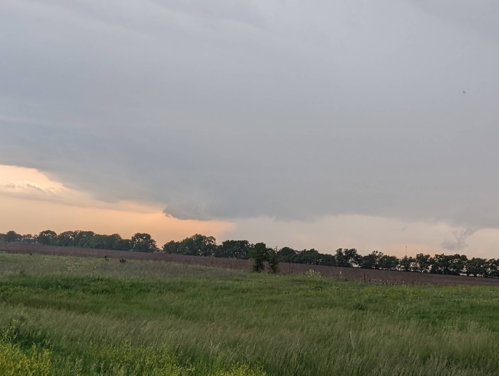
Storms quickly latched onto the moisture plume and became high-precipitation. They had beautiful character – but seeing a tornado within the rain was quickly going to become an issue.
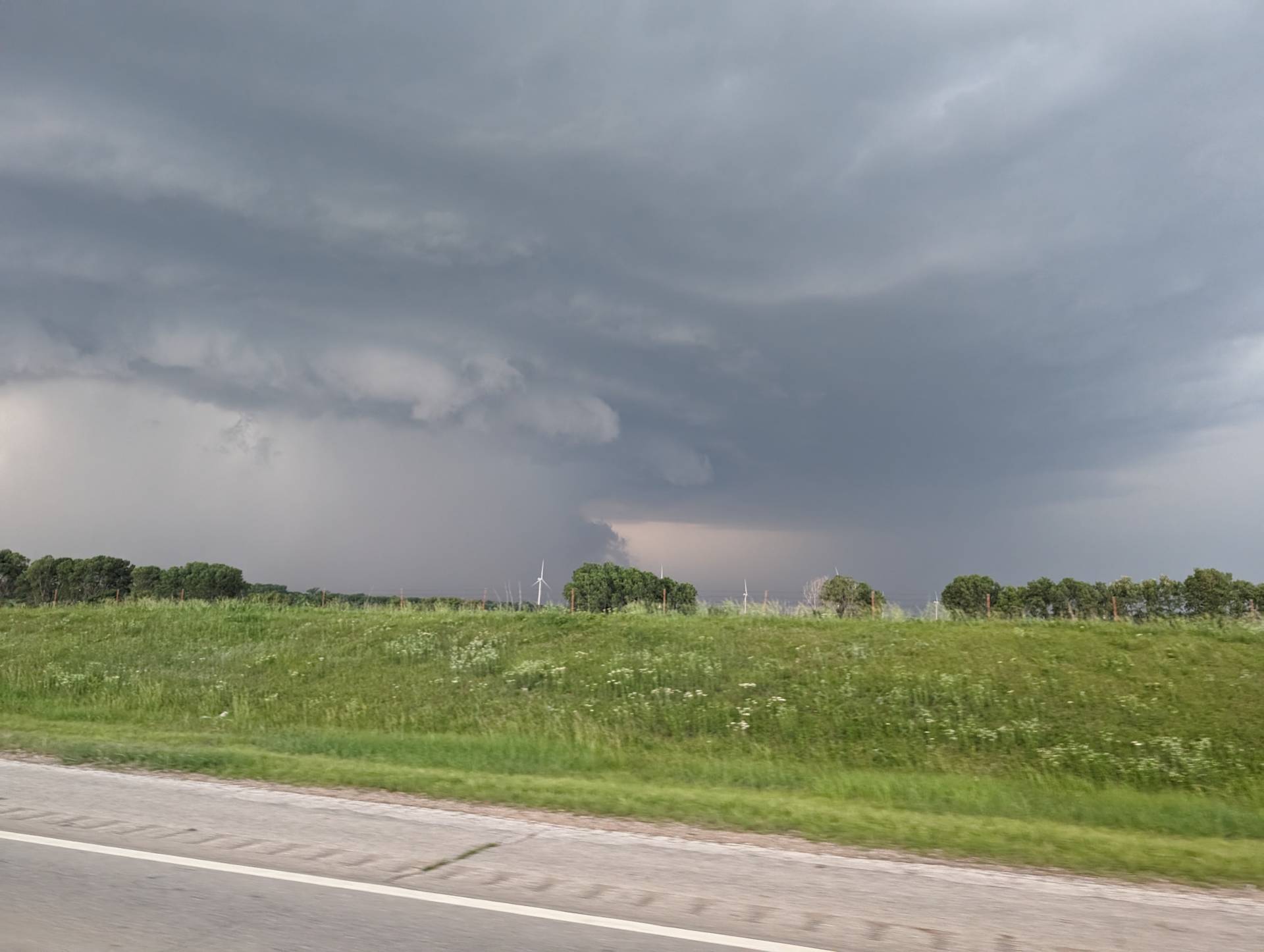
Near Ponca City – the storm continued to drop east-southeast, so I continued east to stay ahead of it. Multiple reports of softball sized hail were noted in the HP core of the storm.
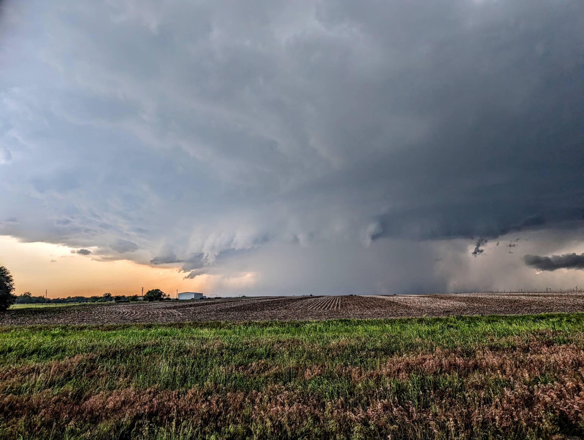
Overall a lower-end kind of day, but I wasn’t disappointed at all. Beautiful supercell not far from home put on quite the show!
Community Comments
There are no comments on this post
Want to leave a comment? Join our community → OR Login →