Published on
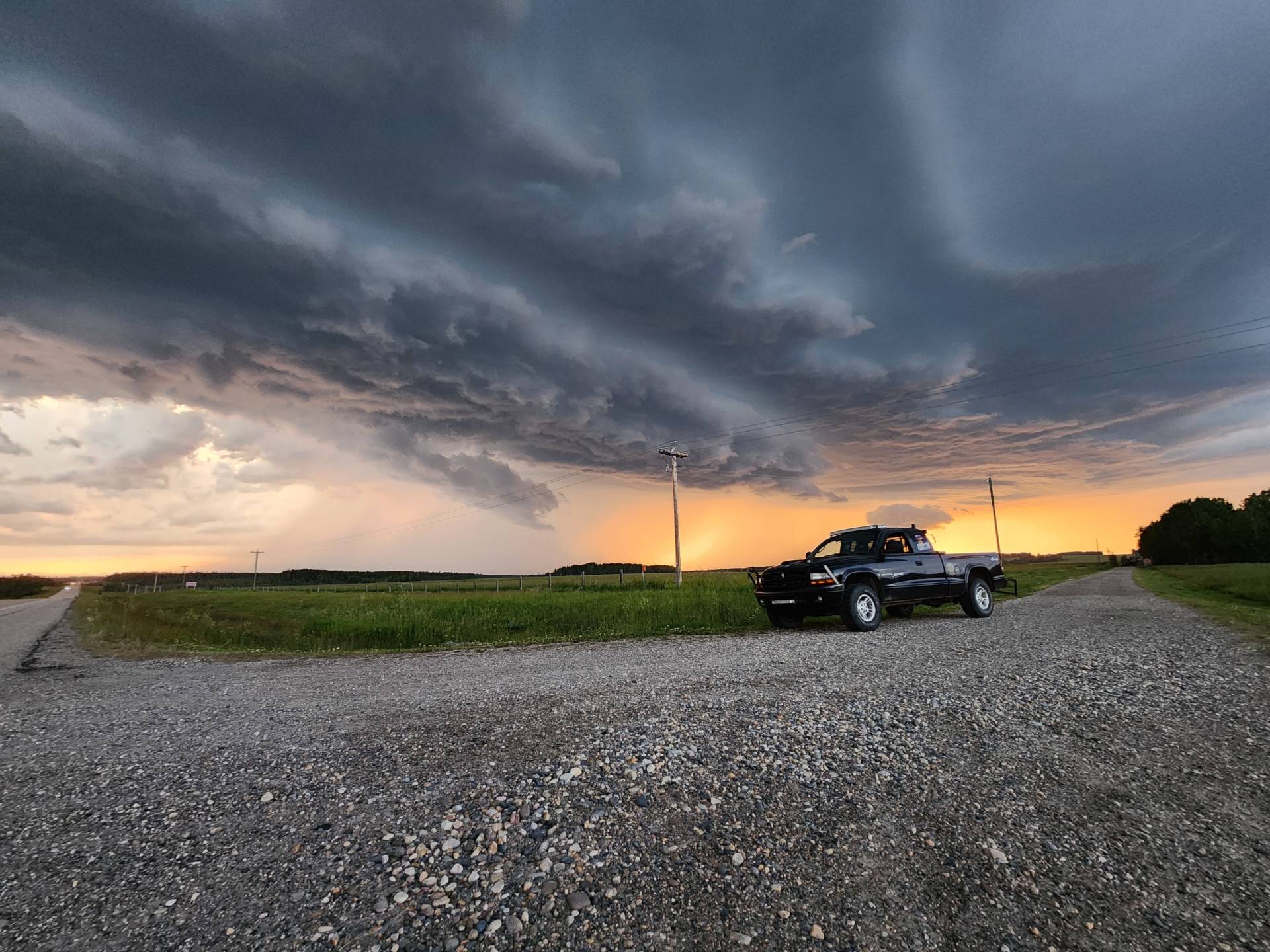
This day ended up producing a STUNNING supercell, that began in Rocky Mountain House, AB, and tracked E-SE towards Eckville, Sylvan Lake, and Red Deer, AB, producing a ton of lightning, hail, and beautiful structure!
This day began with my chase partner, Austin Hern, and I positioned in Innisfail, AB, where we had 2 days of “storm busts”, where the high CIN, or “cap” in the atmosphere held, preventing storms from initiating. Down on our luck, we were planning on packing up our bags and head home the following day [July 12th].
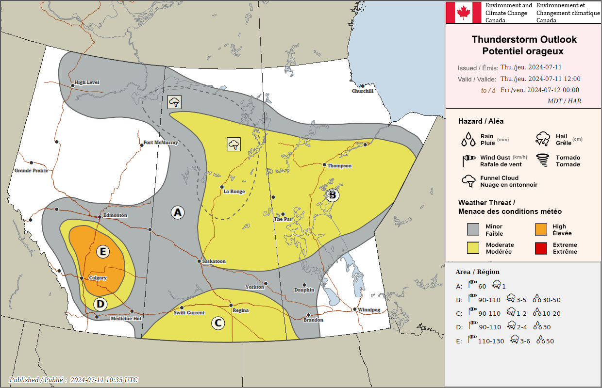
On July 10th, ECCC, or Environment and Climate Change Canada, issued the thunderstorm outlook for July 11th, showing a HIGH RISK for severe weather, stretching from areas SE of Edmonton, AB, all the way SE to Brooks, AB, where the main hazards listed were wind gusts in excess of 110-130km/h, ping-pong to baseball sized hail, and extreme downpours. Tornadoes were also mentioned, but the possibility was low.
As we woke up on the morning of the 11th, we were set to chase and prepared to leave at a moment’s notice. As the day went on, we noticed a thin layer of smoke starting to settle in, and when there’s smoke, storms struggle to form, due to the stable air. Our initial target area, which was near Sylvan Lake, AB began to fade from our minds. We began to doubt that storms would form, due to the smoke still being an issue around 6:30PM MDT. Our confidence was shaken, and we began to doubt the day as a whole.
Then, at around 8:05PM MDT, we spotted a storm near Rocky Mountain House that began to blow up.
The Rocky Mountain House cell managed to punch through the cap, due to the smoke being a lot less thick up that way and latched on to the ingredients in the atmosphere. We decided to haul after it, since it was likely the last play of the day
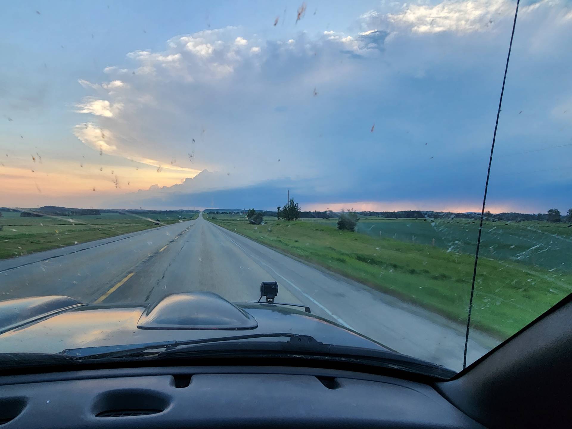
Now severe warned, and as we got closer, we began to see the beautiful structure of this supercell traversing E across the prairies!
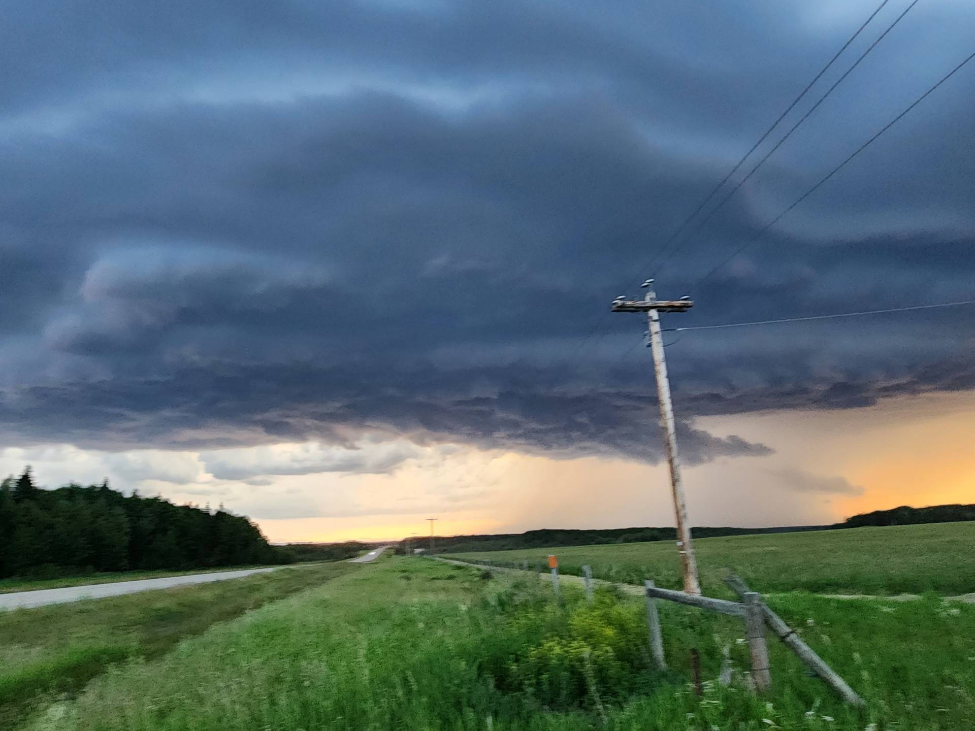
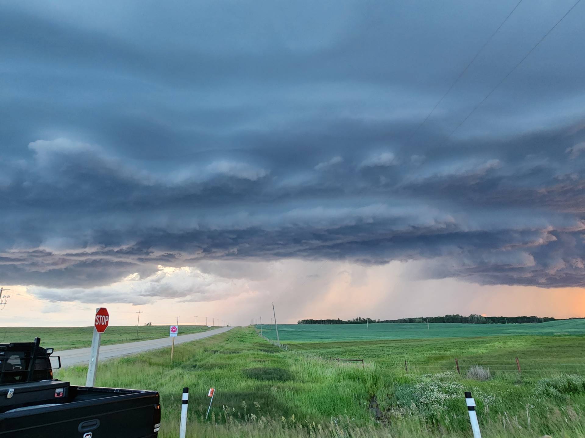
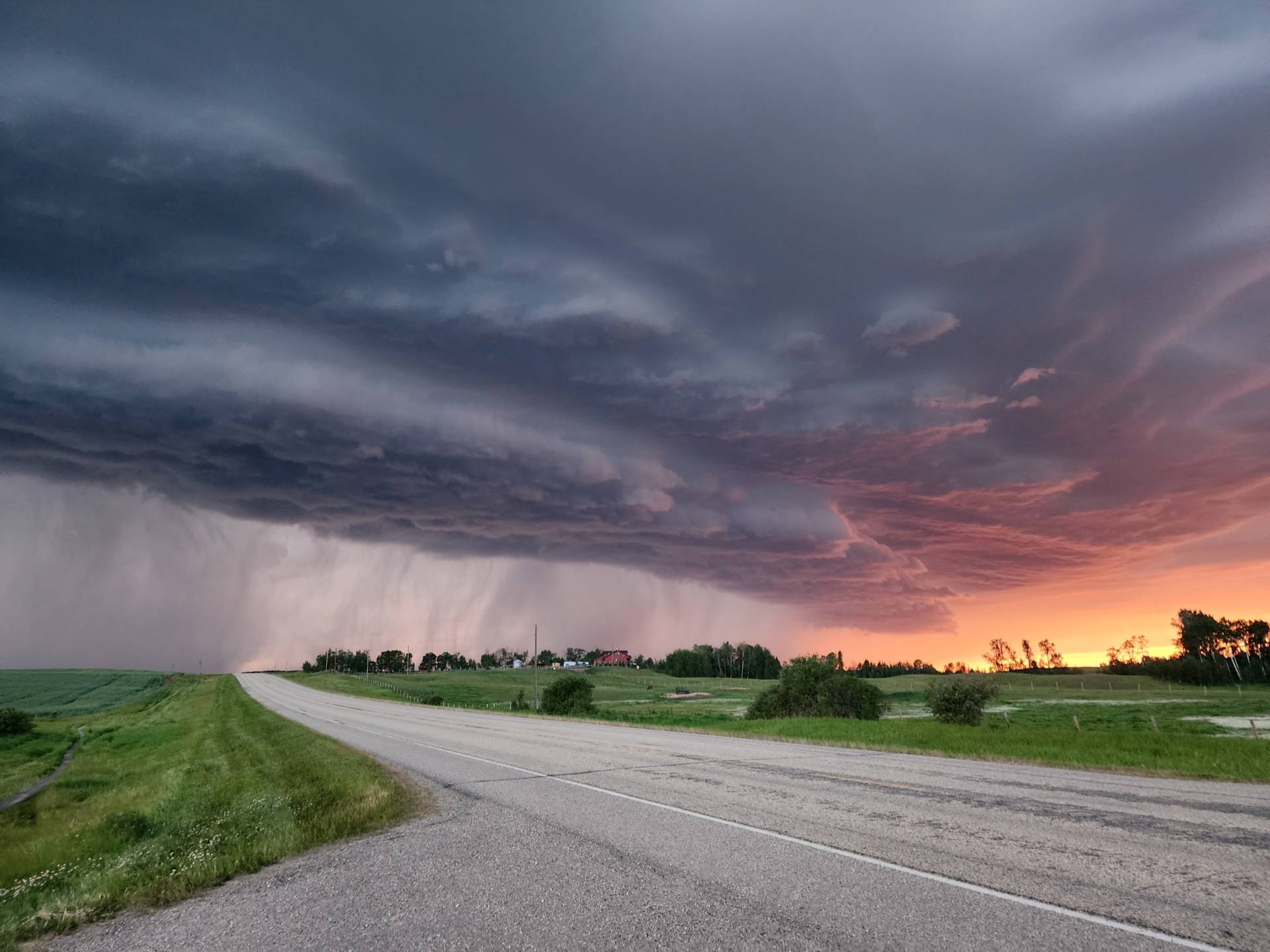
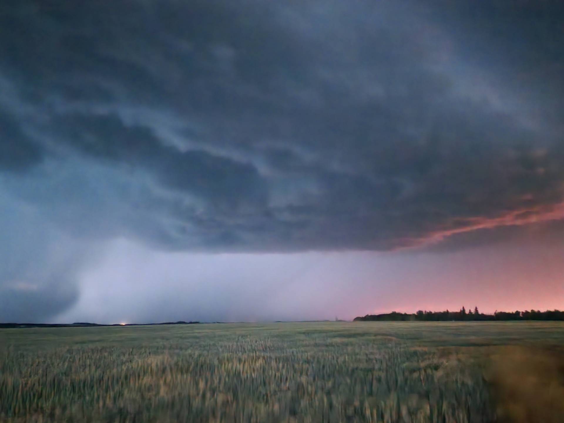
As the storm began to impact areas near Eckville, AB, we noticed the cloud seeders were seeding the storm. Once we realized this, we decided, while the hail was big enough, to get in the core and sample the hailstone sizes. As we got in there, we were pelted by quarter to loonie sized hail, and wind gusts between 90-115km/h measured by my handheld anemometer.
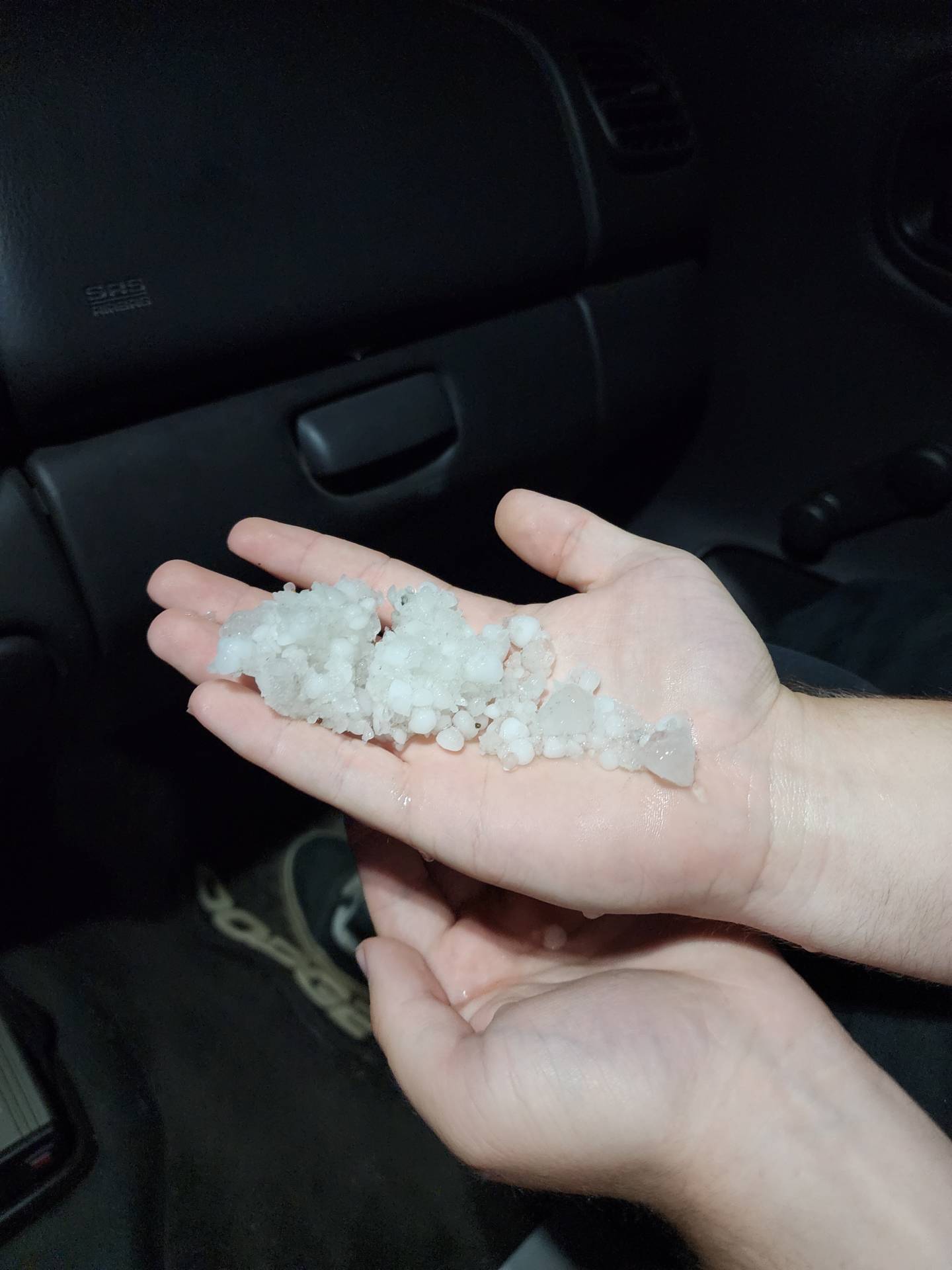
As the storm trained E along HWY 12, it began to lose its steam and become very outflow dominant. We then decided to call out very successful chase day, after 2 bust days in a row, and head back to the hotel in victory, where we got to witness a beautiful lightning show on our drive back.


Community Comments
F
Reply to Keanu Distefano
Want to leave a comment? Join our community → OR Login →