July 4th 2022 Storm Chase Across Central Illinois: Multiple supercell Intercepts
Published on
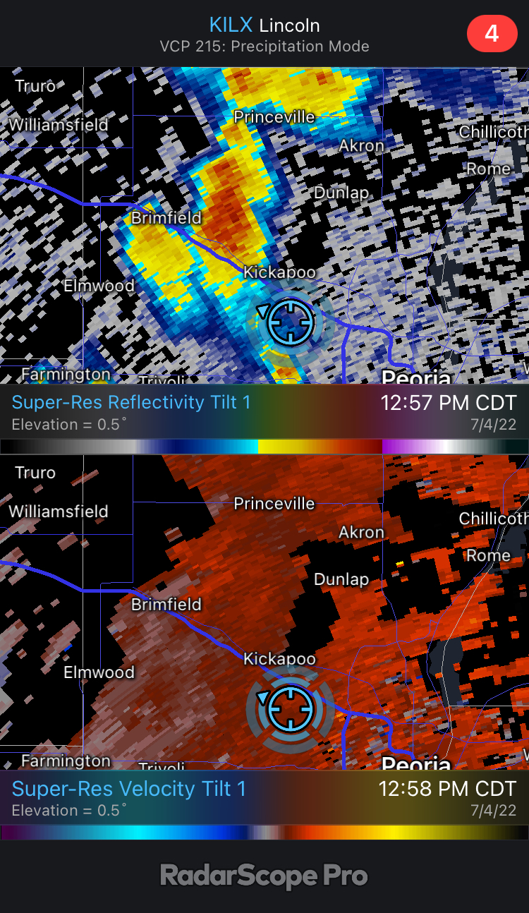
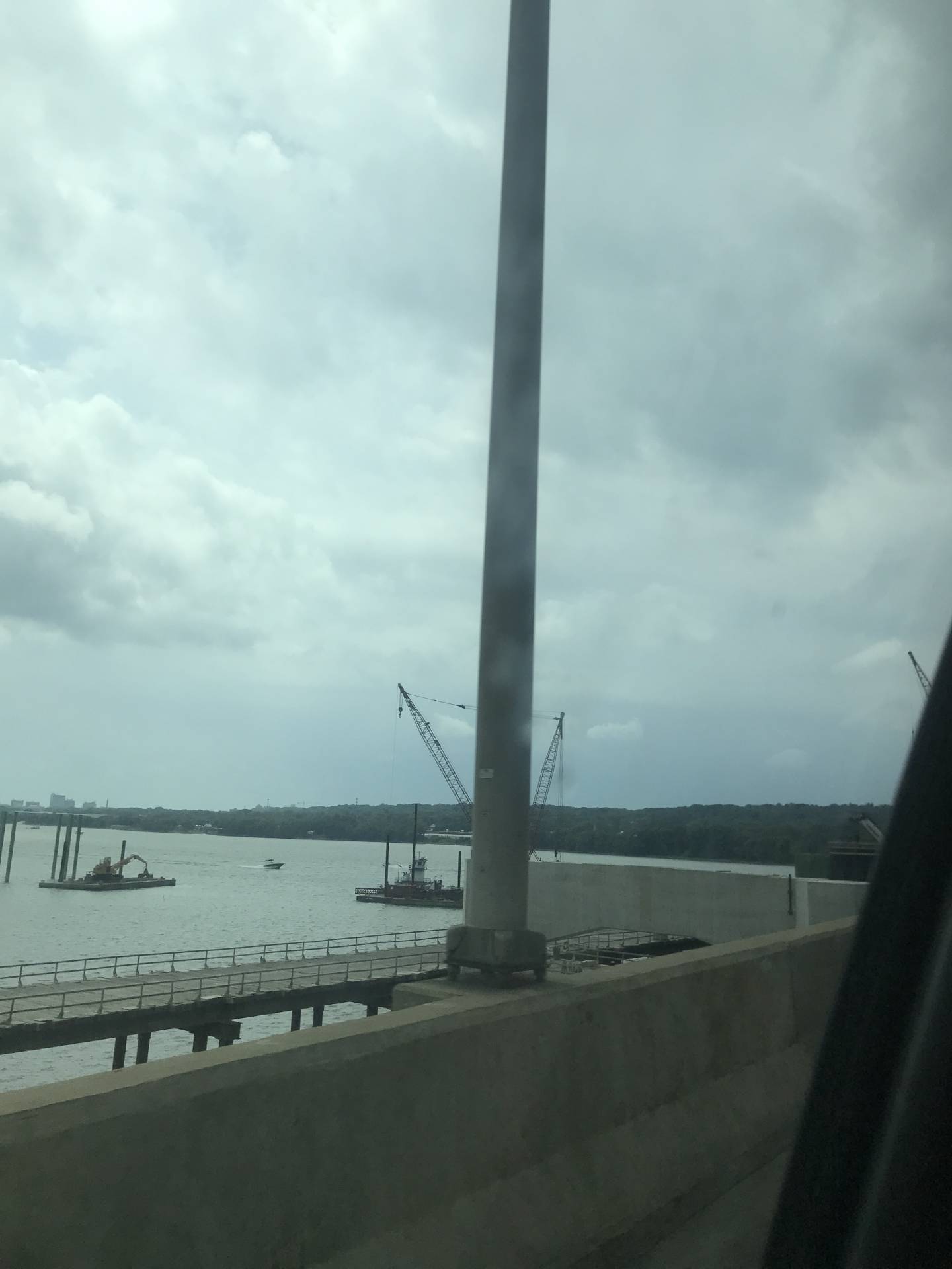
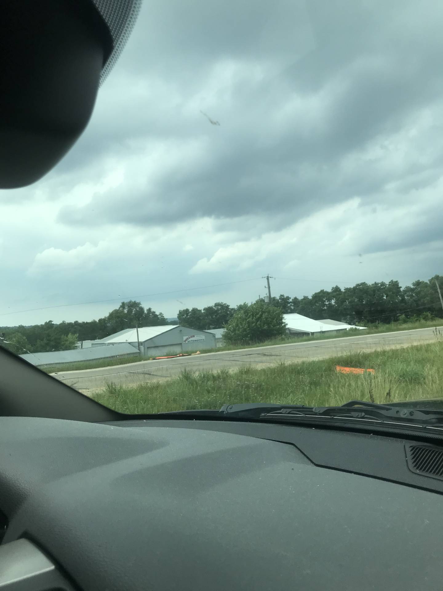
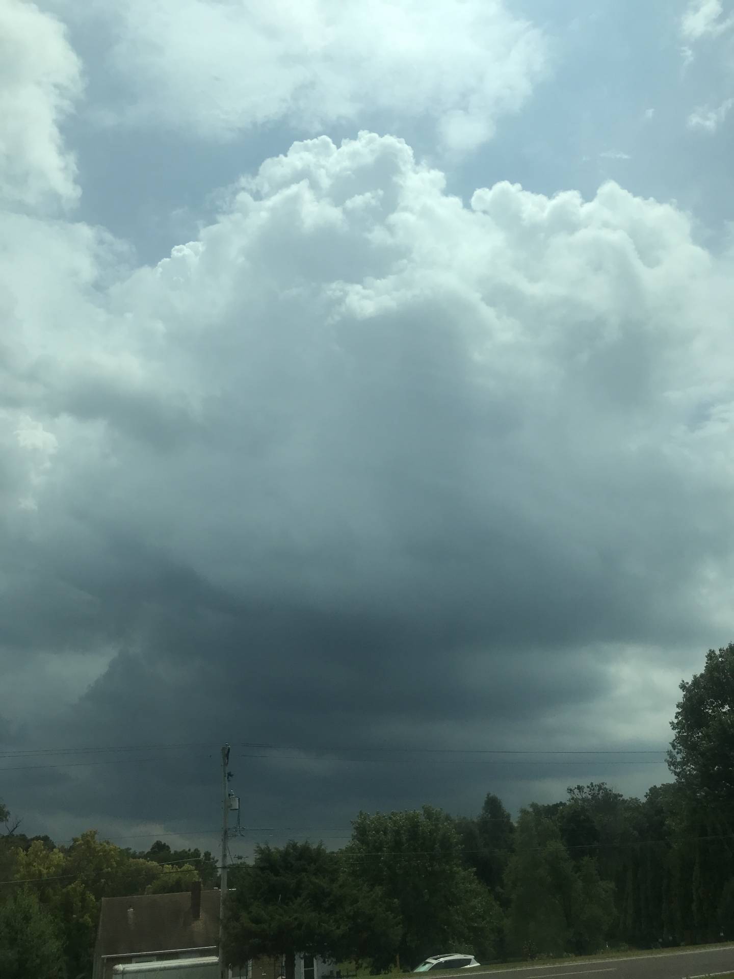
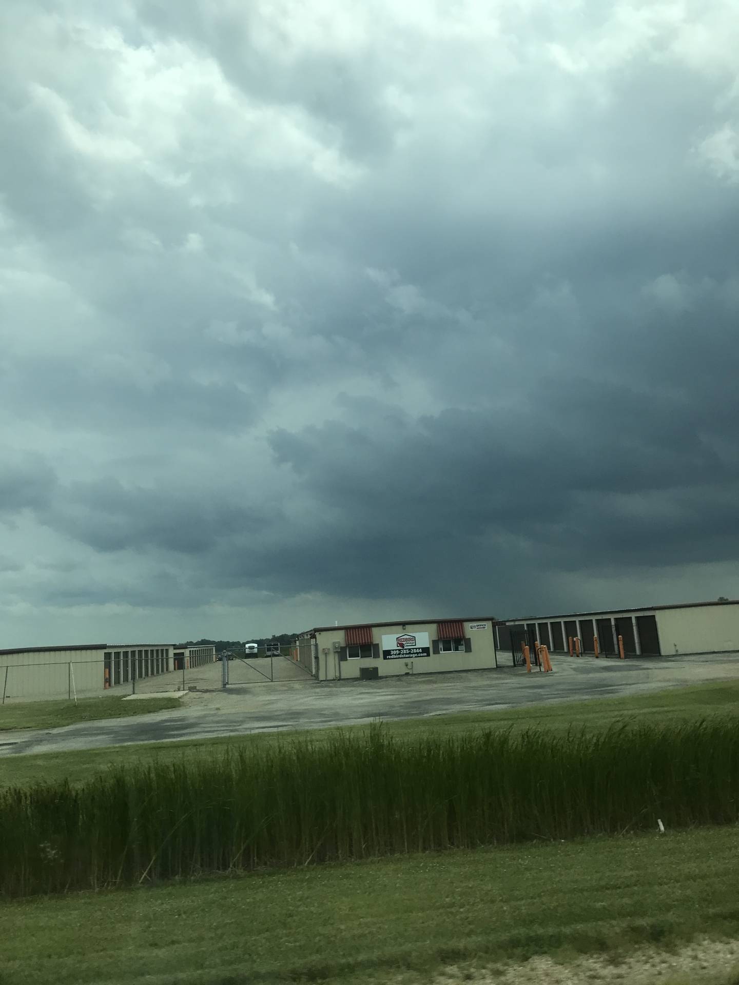
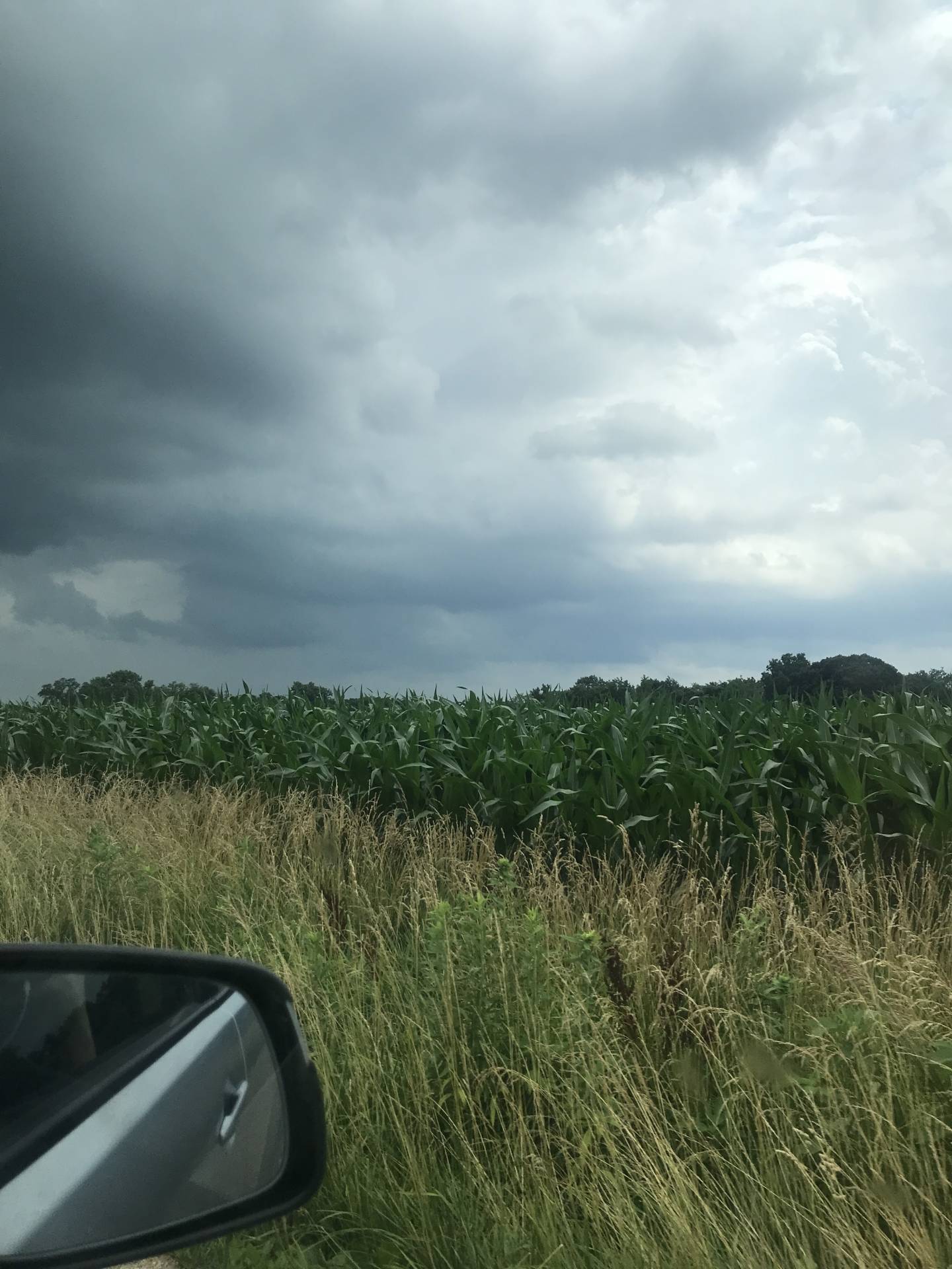
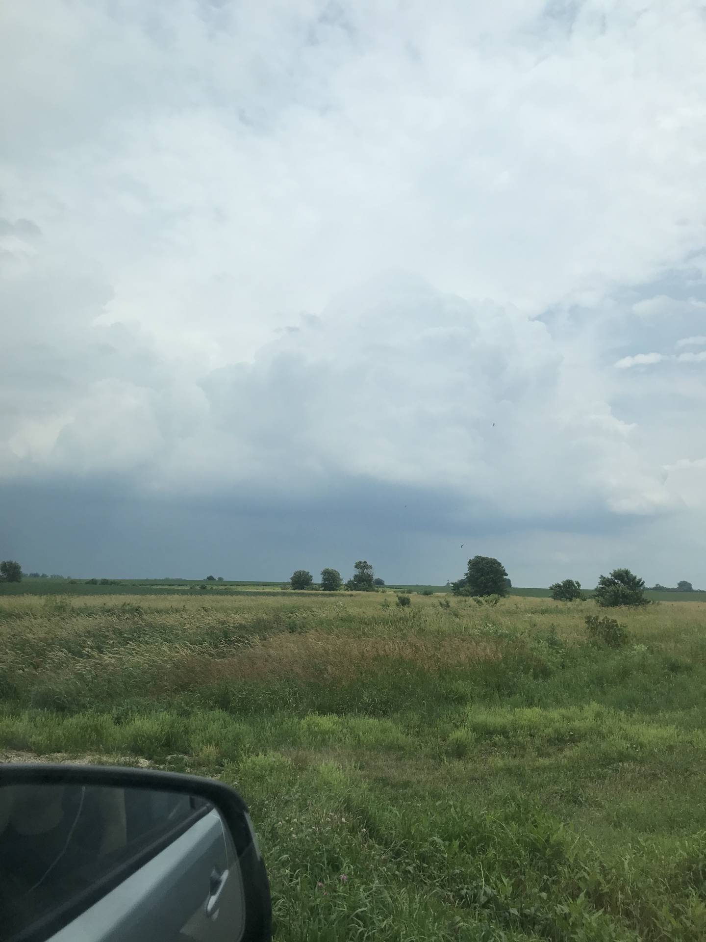
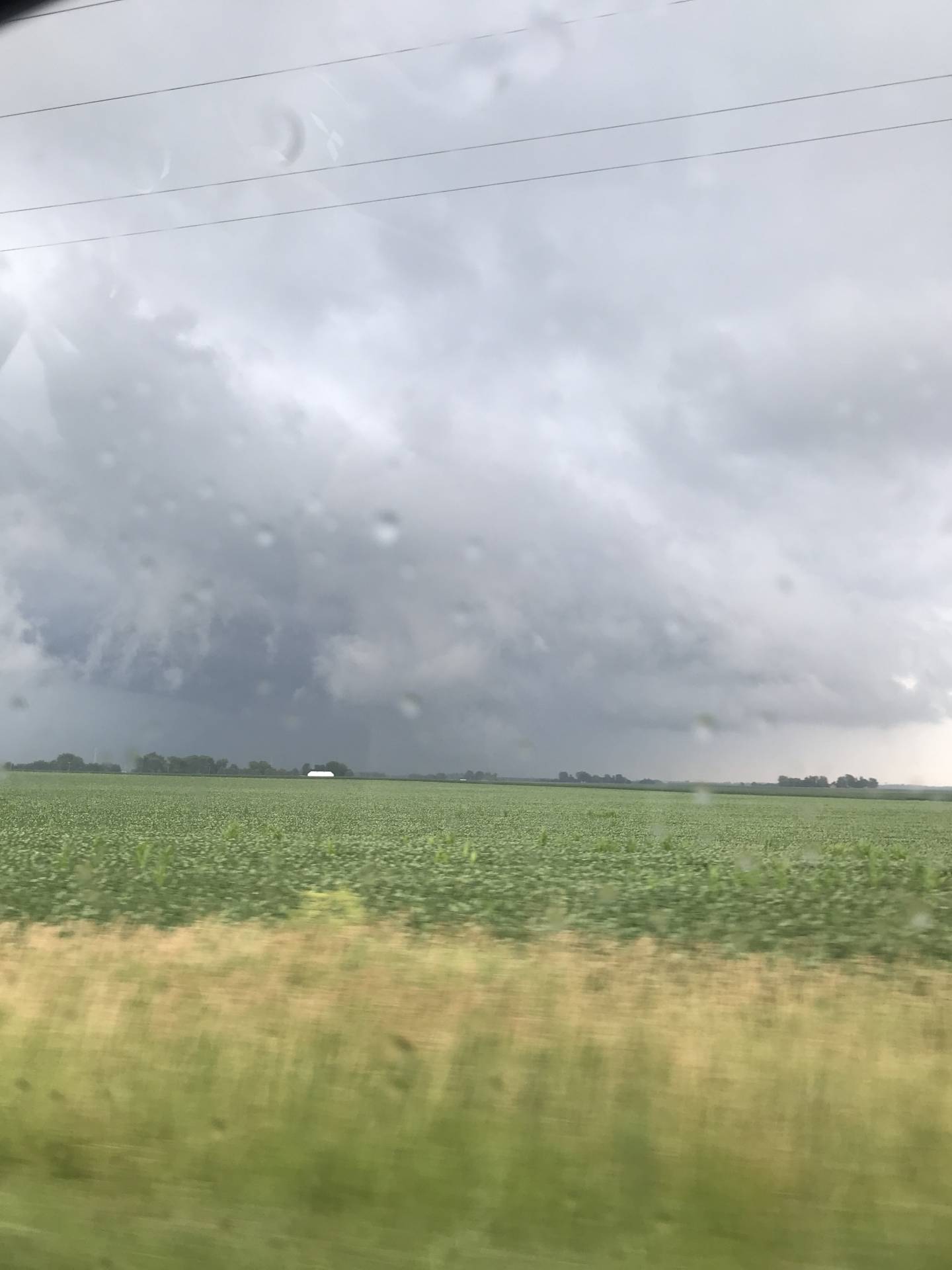
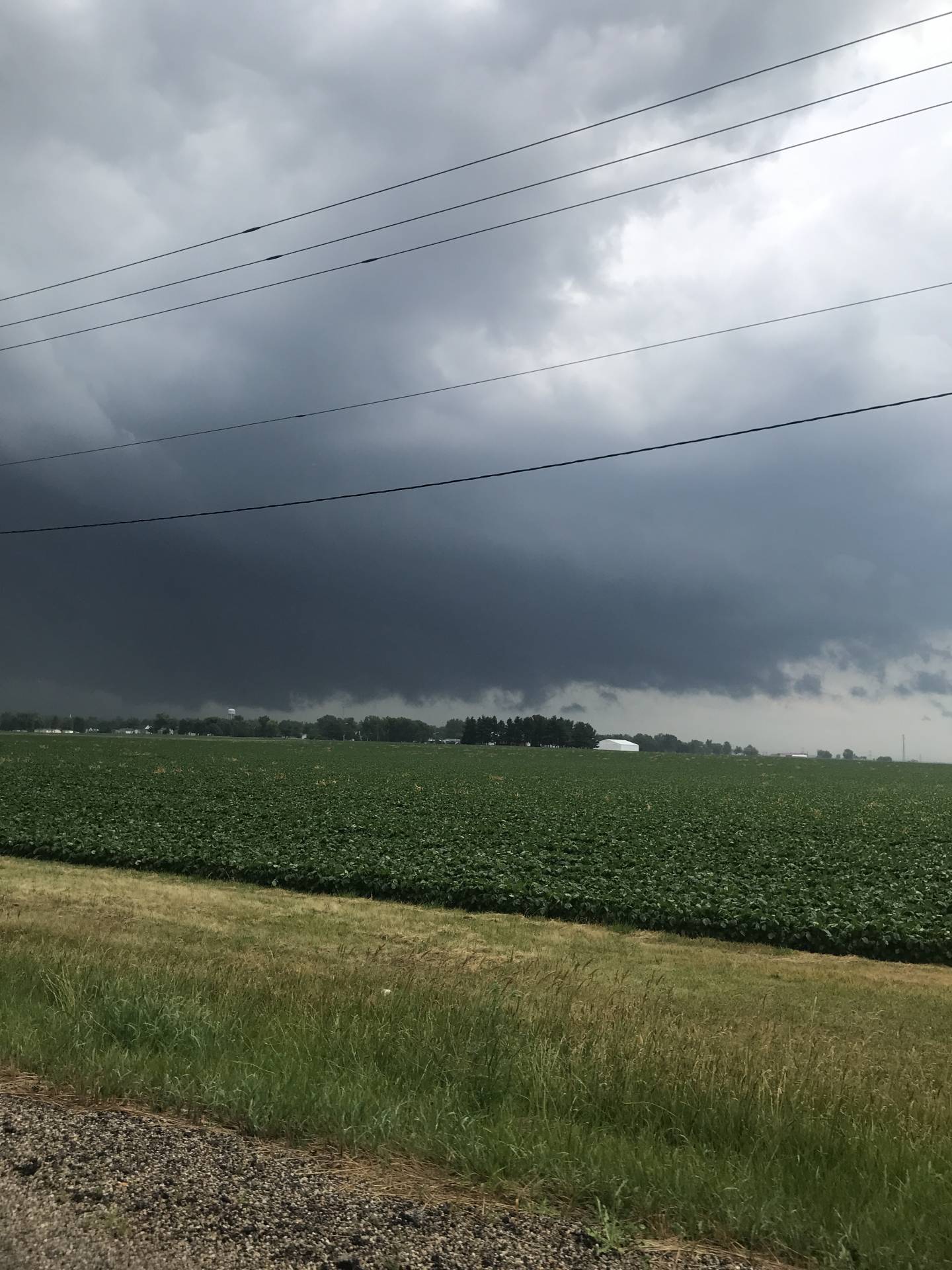
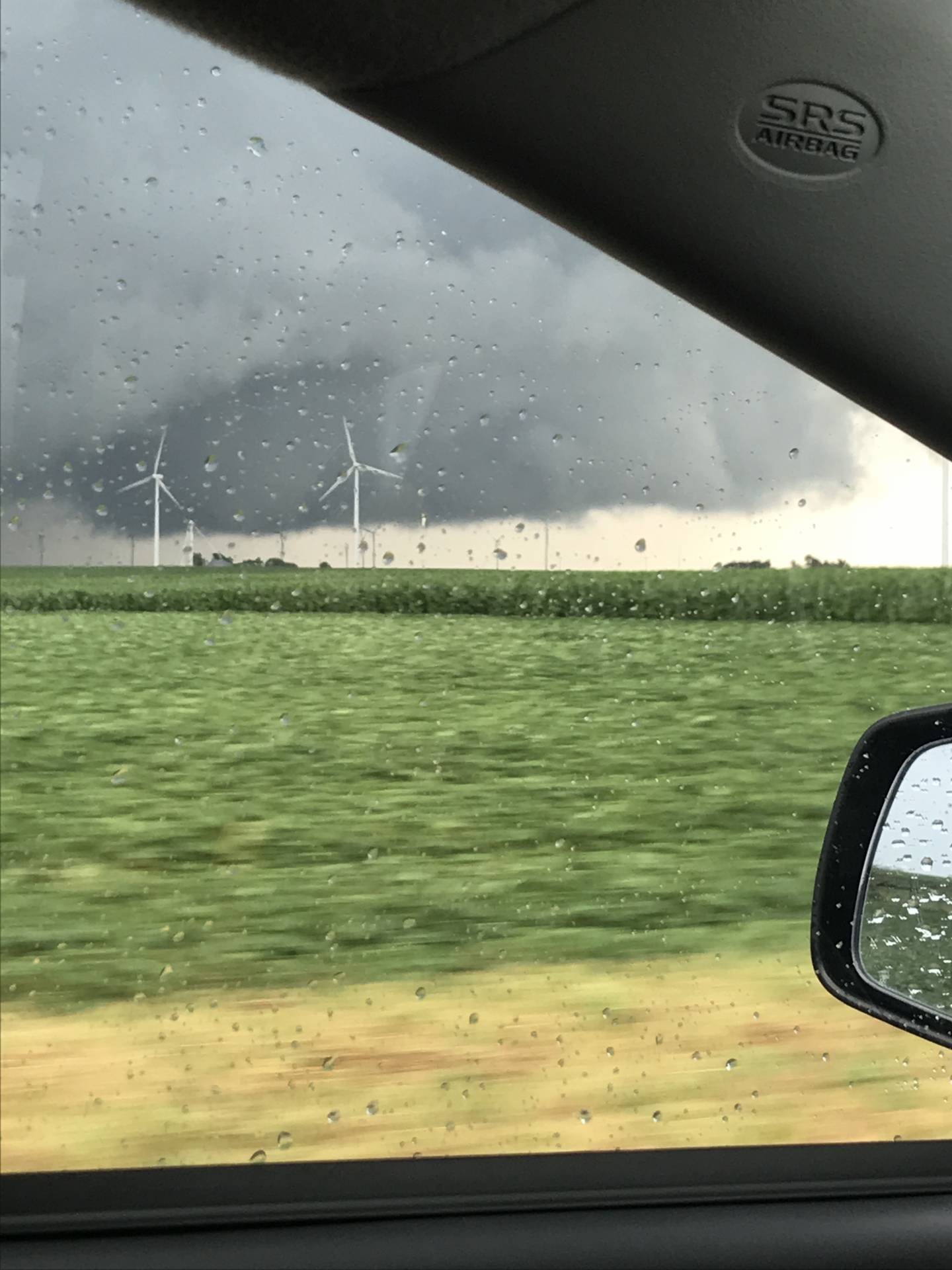
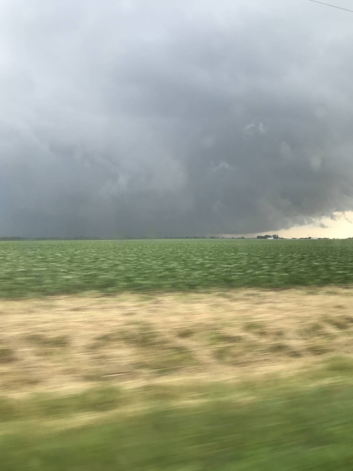
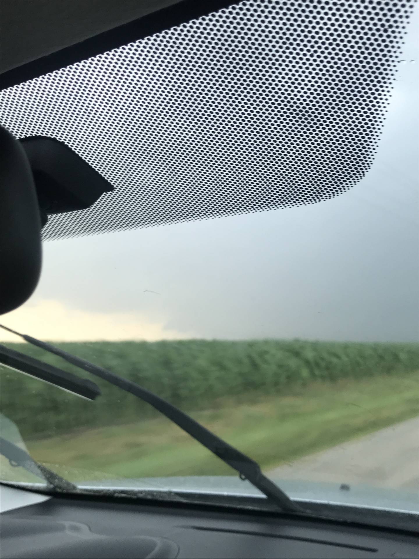
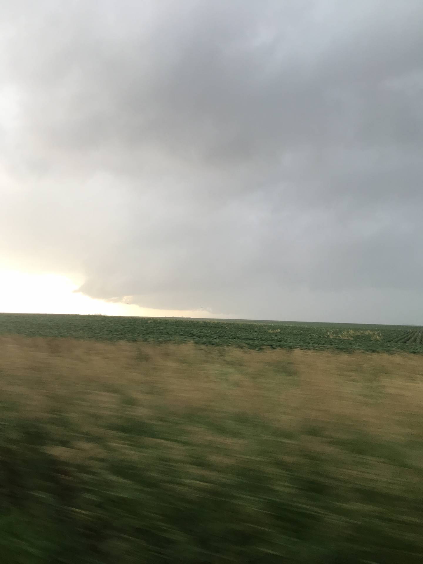
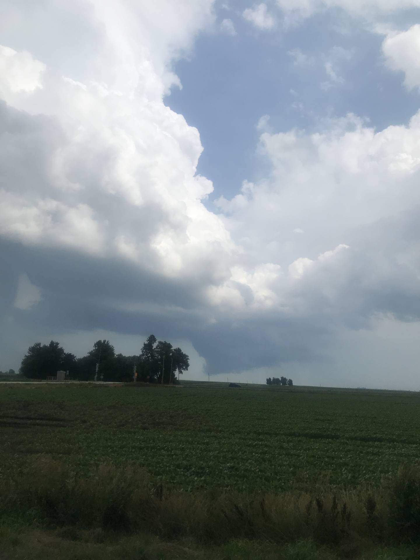
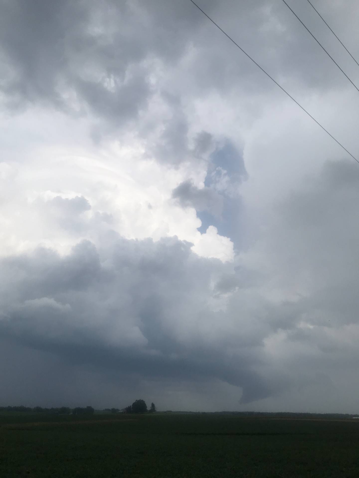
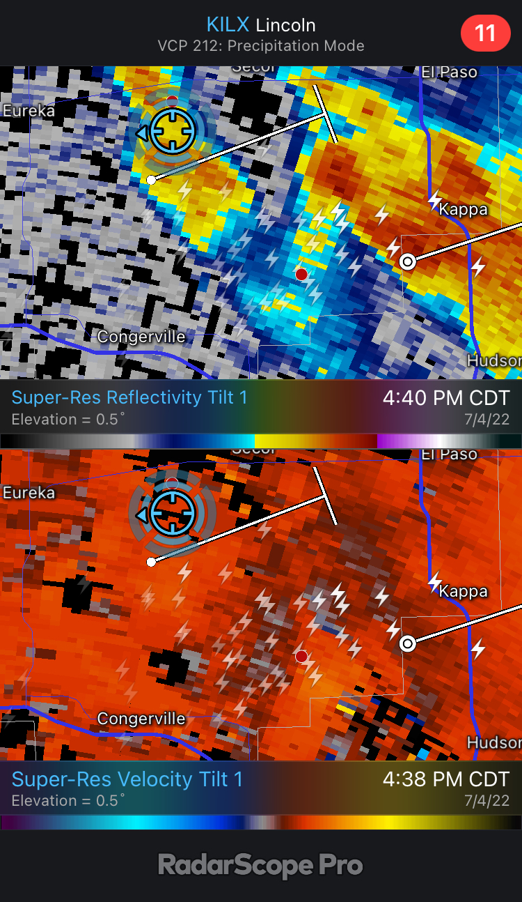
Gonna check this thing out!Tops of the storm blowing up #ilwxBase of a developing cell over Dunlap #ilwxDeveloping cell over East Peoria, IL #ilwxStorm south of Germantown Hills, IL #ilwxinteresting structure here North of Metamora, ILBaskcside of the storm from Washburn, IL #ilwxRuthland Illinois @NWSLincolnIL @NWSChicago #ilwxLooking South of Minonk, IL. Rapidly rising scud into the cloud base @NWSChicago @NWSLincolnILLarge Wall cloud now @NWSLincolnIL @NWSChicago West of Flanagan ILHP best near Chenoa, IL. (blasting West towards Bensen IL)The edge of a mostly rain wrapped wall cloud looking Southwest near Graymont or Waldo, IL @NWSChicago #ilwxbetter view of the wall cloud NW of Chenoa, IL looking West @NWSChicago #ilwx@NWSLincolnIL Looking toward Congerville. Very low wall cloud and maybe a funnel.amazing looking storm @NWSLincolnIL!!!


Community Comments
There are no comments on this post
Want to leave a comment? Join our community → OR Login →