

Published on
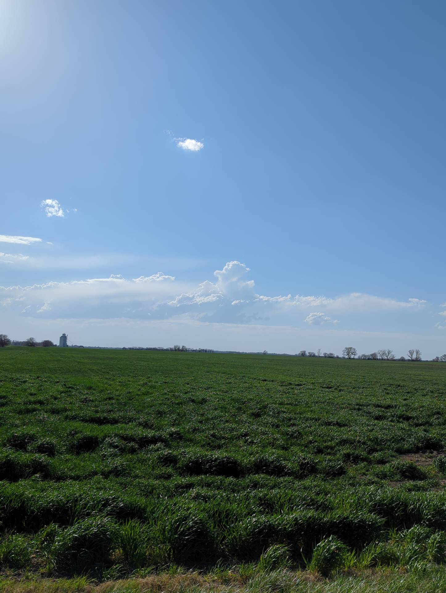
Storms developed along a dryline and cold front the afternoon/evening of April 14, 2023. Storms that initially developed along the dryline were expected to stay fairly isolated – which deemed true.
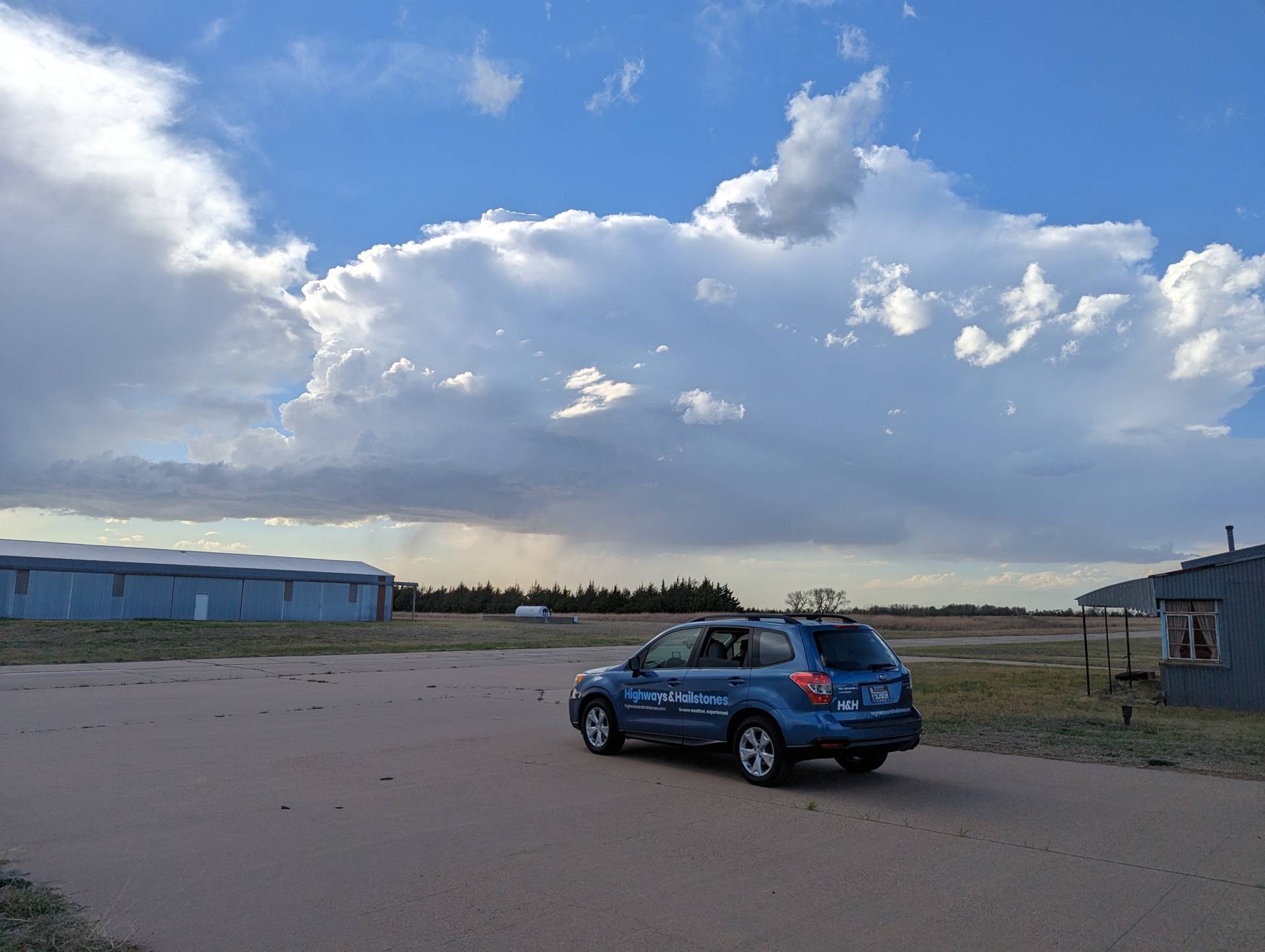
Storms developed around 6 pm, some of which posed high winds and marginally severe hail. While the storm structure wasn’t super photogenic, some storm shots were still worthwhile.
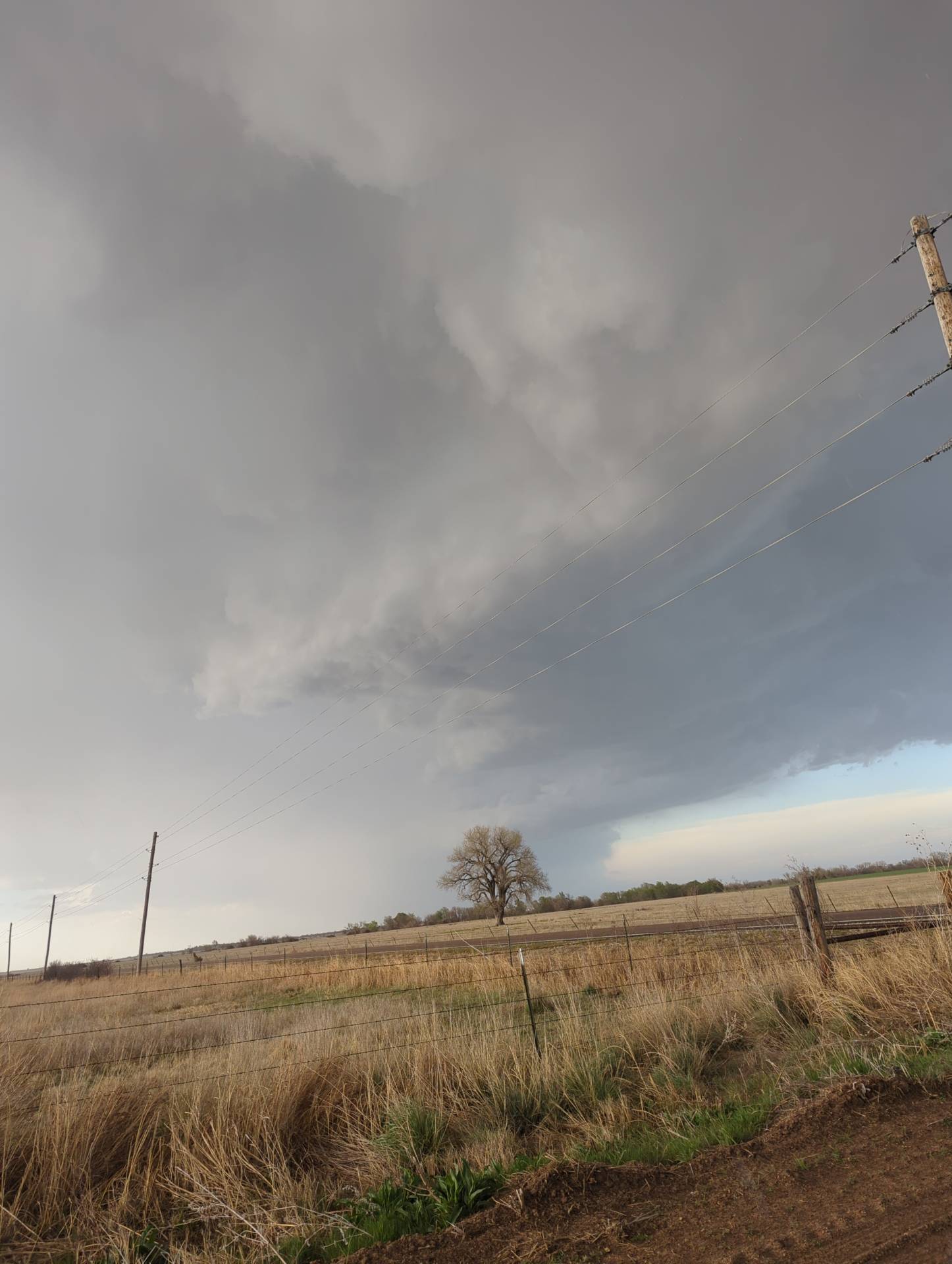
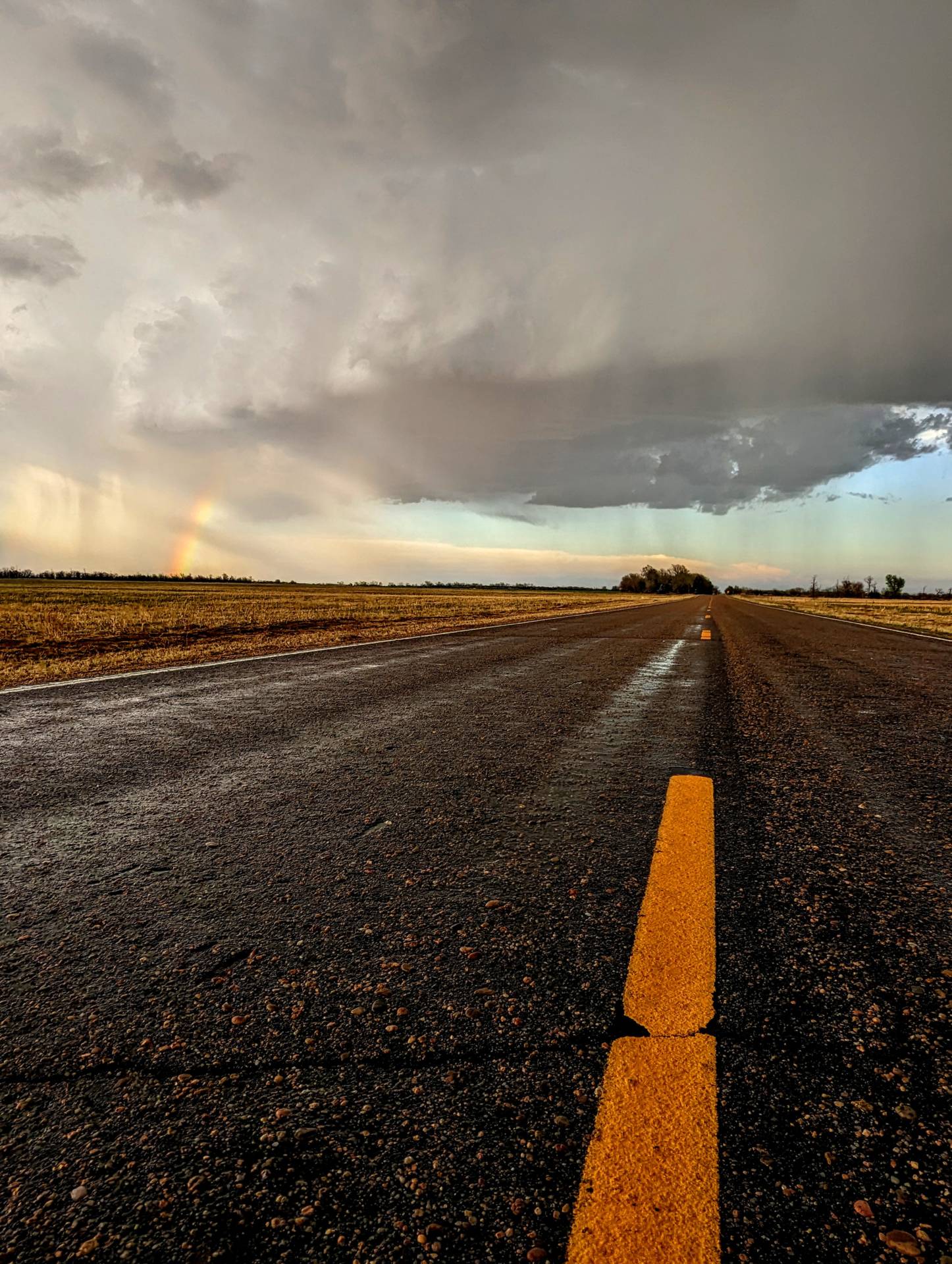
As the sun set – storms quickly went linear and became a wall of rain and wind, with some marginally severe hail.
Community Comments
Beth in the hail is everything 👌🏻
Reply to Travis Farncombe
Want to leave a comment? Join our community → OR Login →