

Published on
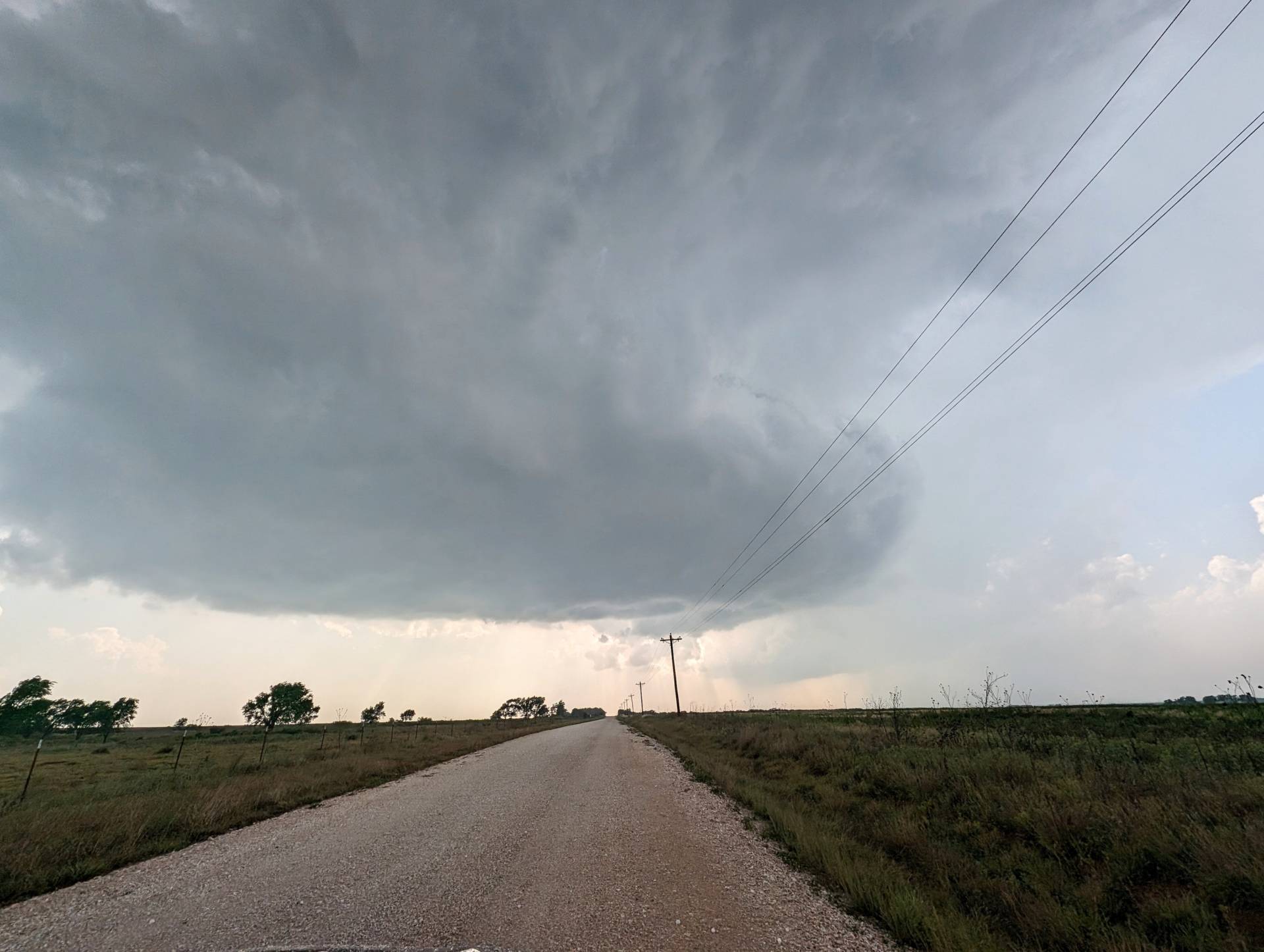
A Slight Risk area was painted over the Central and Southern Plains on May 23, 2024. The best dynamics appeared to be across Western and Southwest Oklahoma, along with a secondary area in Western Nebraska. We chose the Western Oklahoma regime area for the target.
Initial target area was Sayre, Oklahoma. The first storm of the day went up near Childress, Texas with northeast motion taking it into Southwest Oklahoma. A second storm developed near Wellington, Texas with northeast motion taking it to Erick, Oklahoma. As the storm to the southwest of Erick was the closer storm, we chose that one initially.
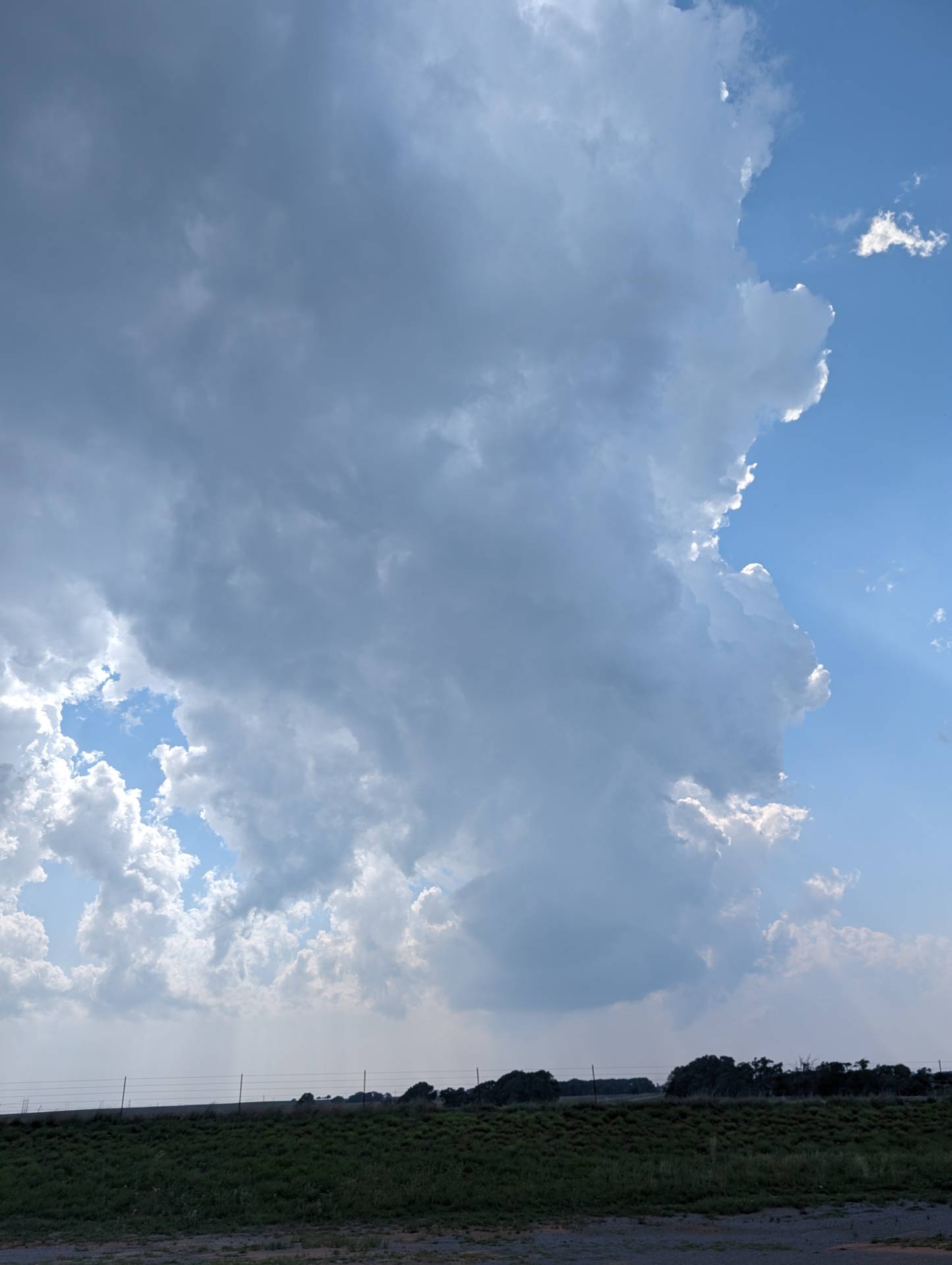
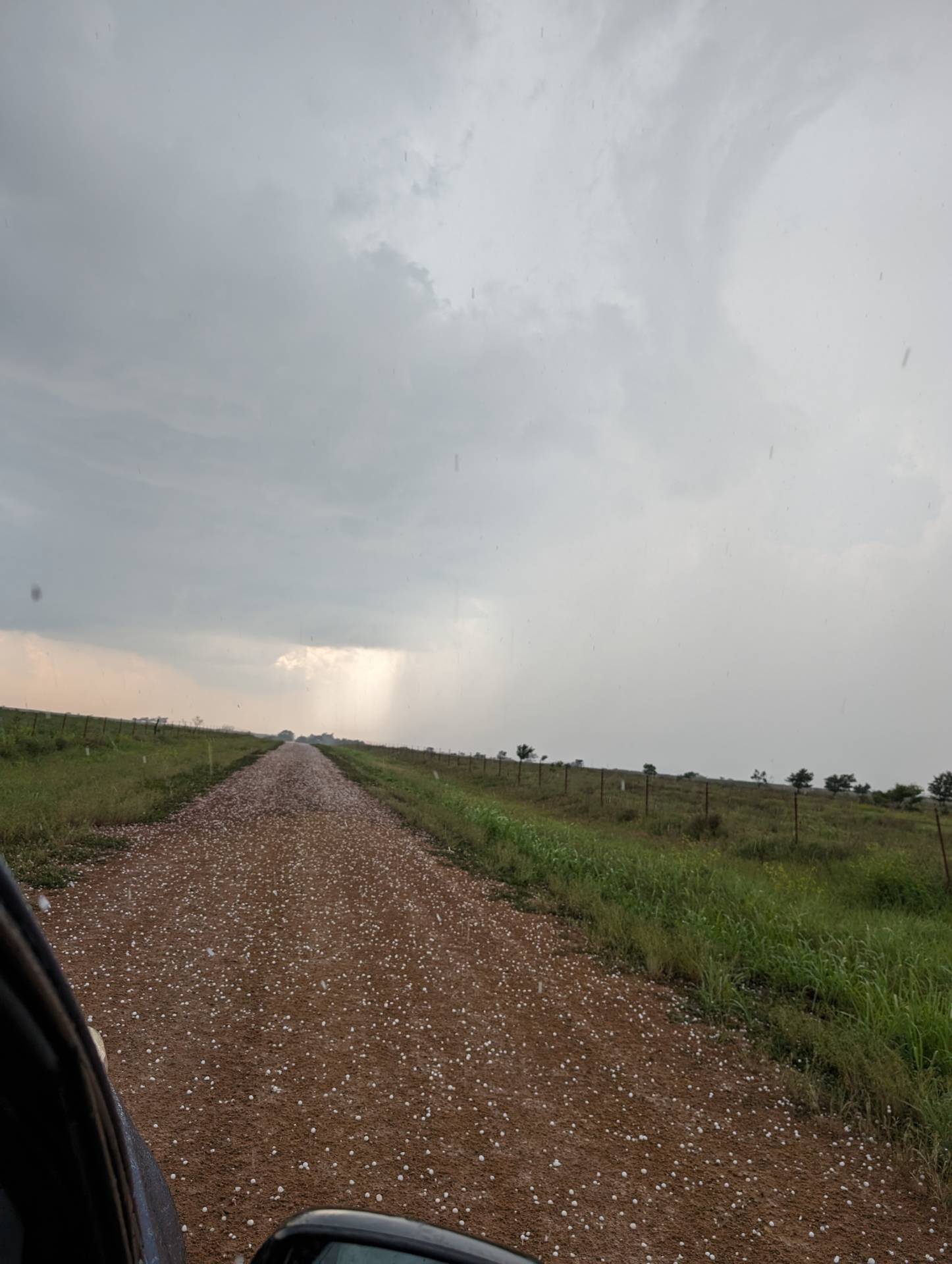
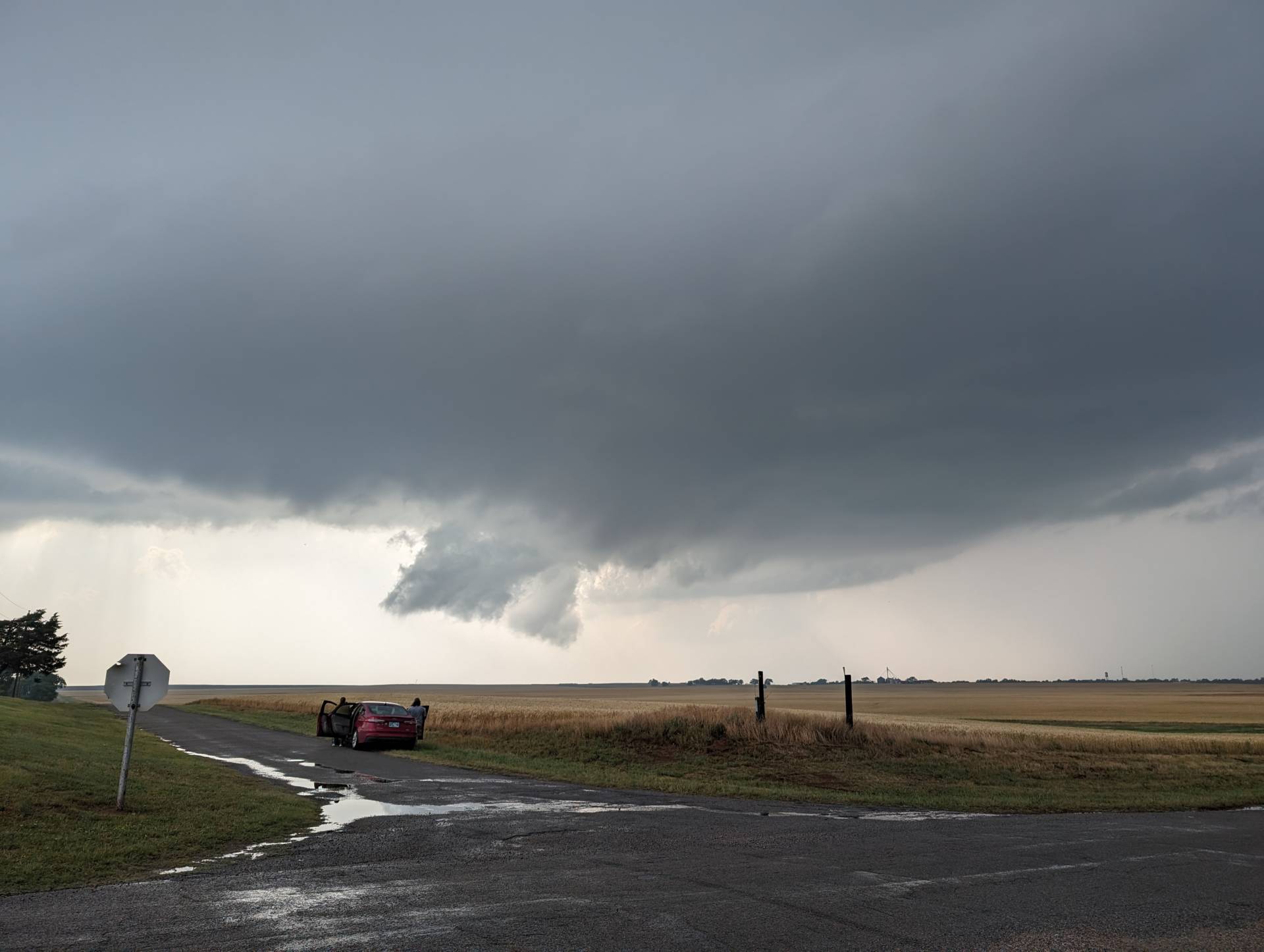
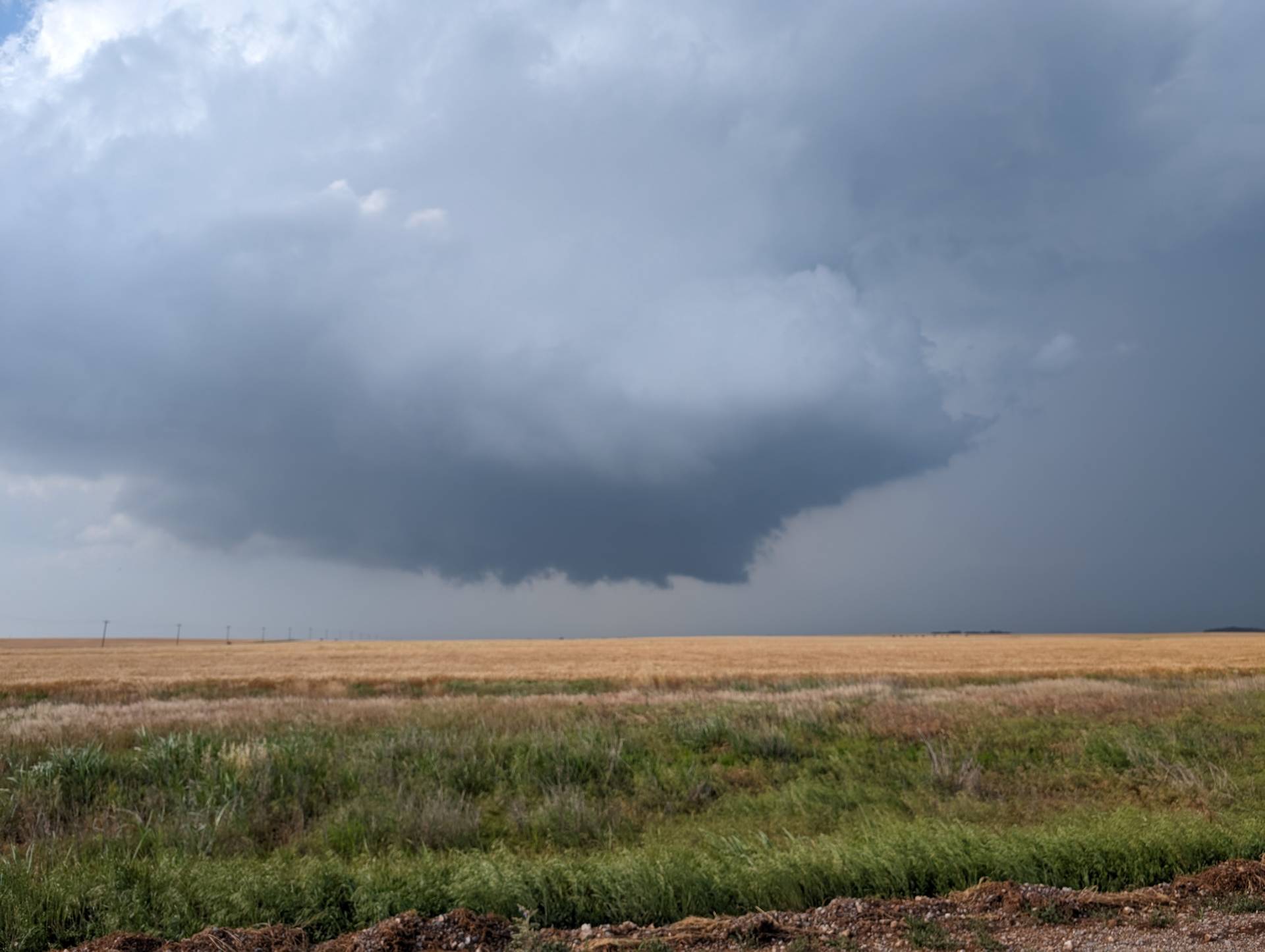
The Erick/Sayre storm rapidly dissipated, so we dropped south to the prolific tornado producing storm near Duke, Oklahoma.
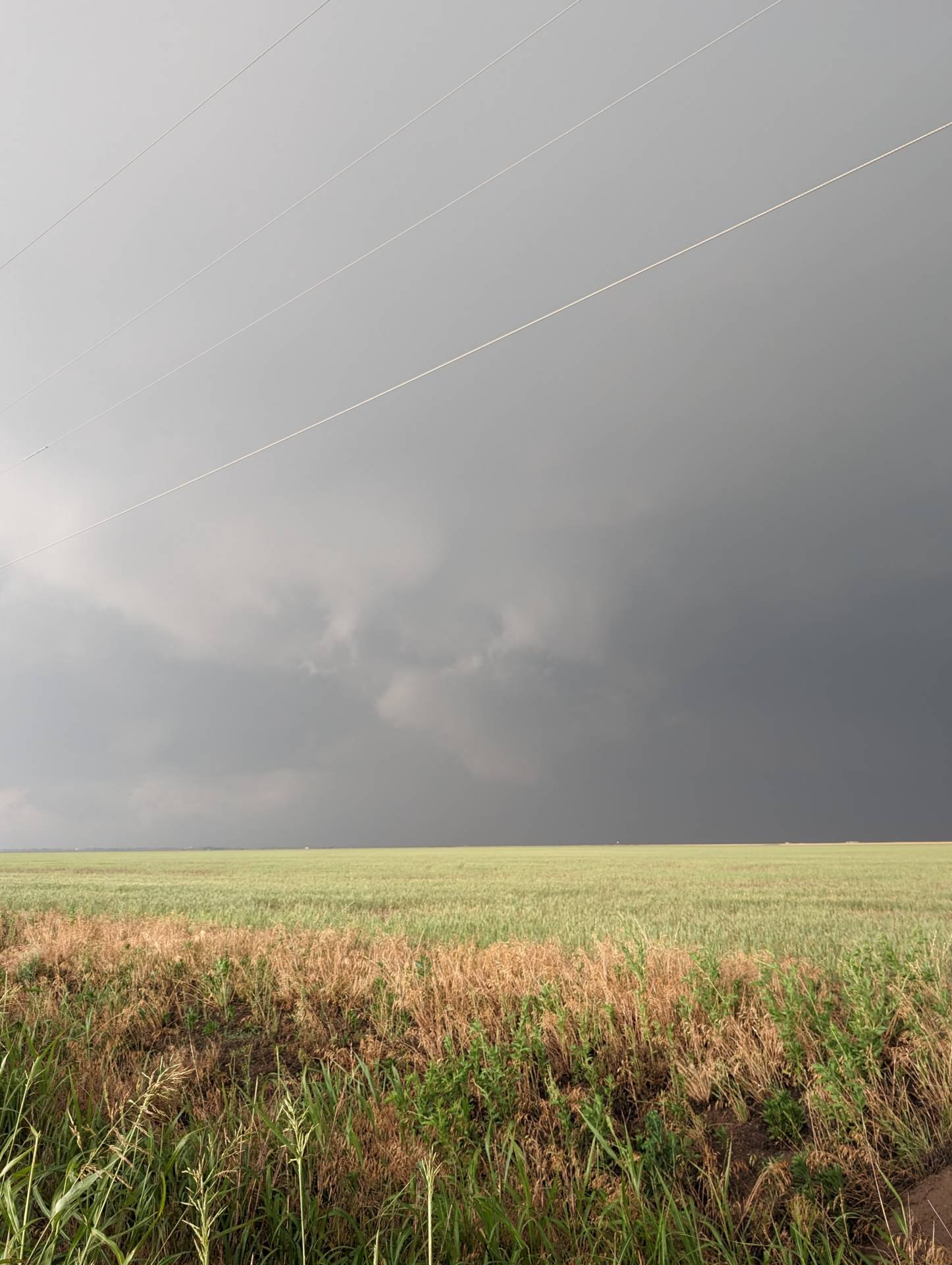
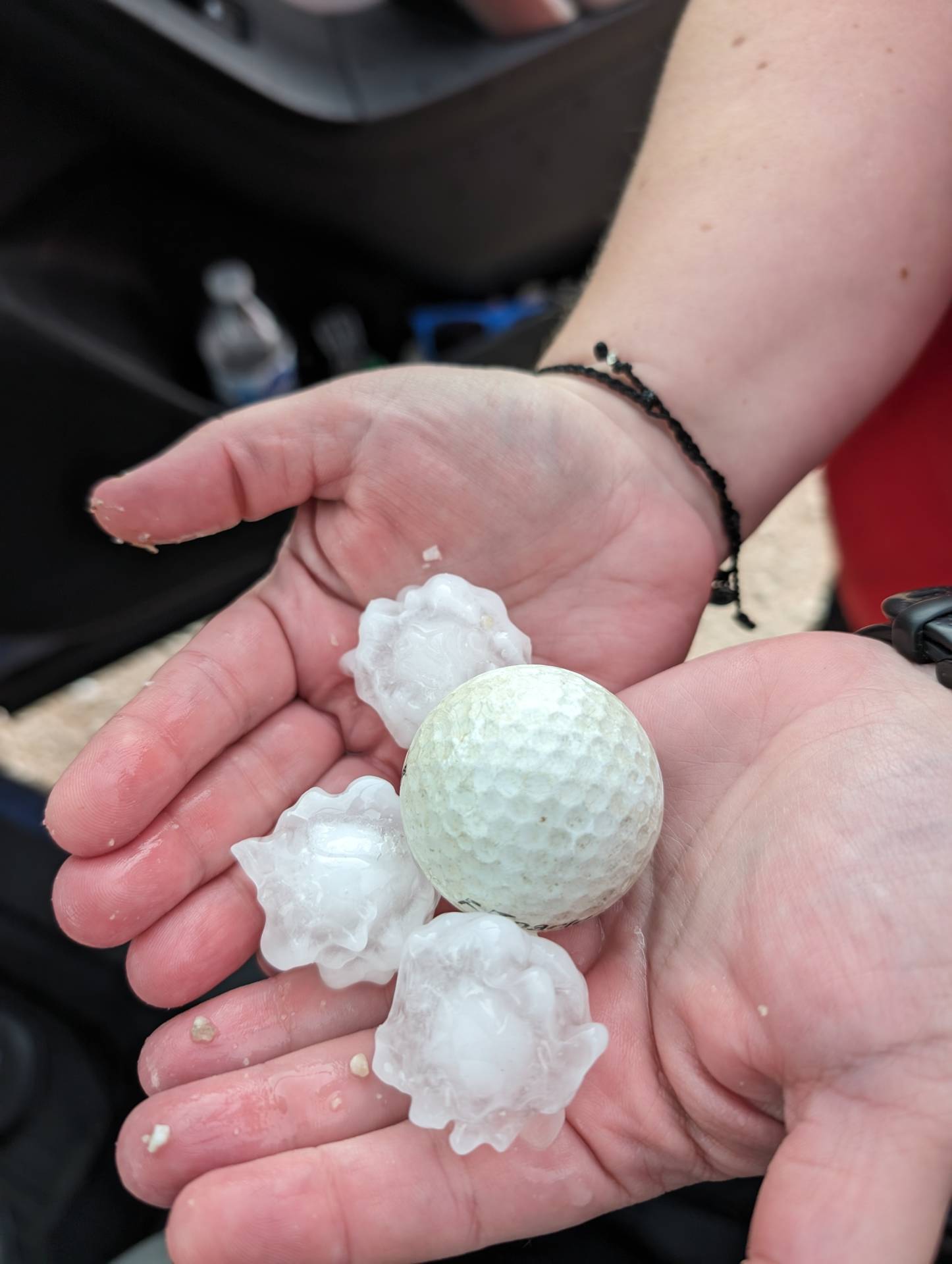
The storm itself was a beast. A high-precipitation supercell producing a long-track, at times stationary tornado. By the time we approached the storm, the tornadic portion was very wrapped in rain and it was impossible to see anything.
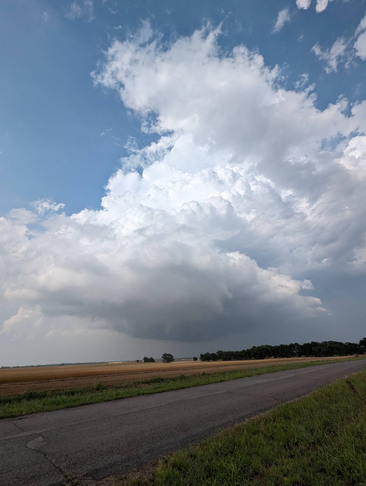
It was a fun chase – just should have swapped storms about 45 minutes before we did – we had hope in the first supercell but all hope was dashed.
Onward and upward to the next storm!
Community Comments
There are no comments on this post
Want to leave a comment? Join our community → OR Login →