

Published on
I was really hoping to kick of the 2023 chase season in some new territory. During my scheduled vacation, upper level flow over the central and southern plains wasn’t looking promising at all. But it did look like there would be some help from the jet over the northwestern US — at least for the first couple days. So my daughter and I took off from Flagstaff on May 20th and cruised across Nevada through the night for our first option in Oregon on the 21st. We headed up to Baker and found an elevated spot to watch an early round of convection over the peaks of Umatilla National Forest. Depending on how that turned out, I thought we could later head southwest toward Burns for another round of initiation off the cold front.
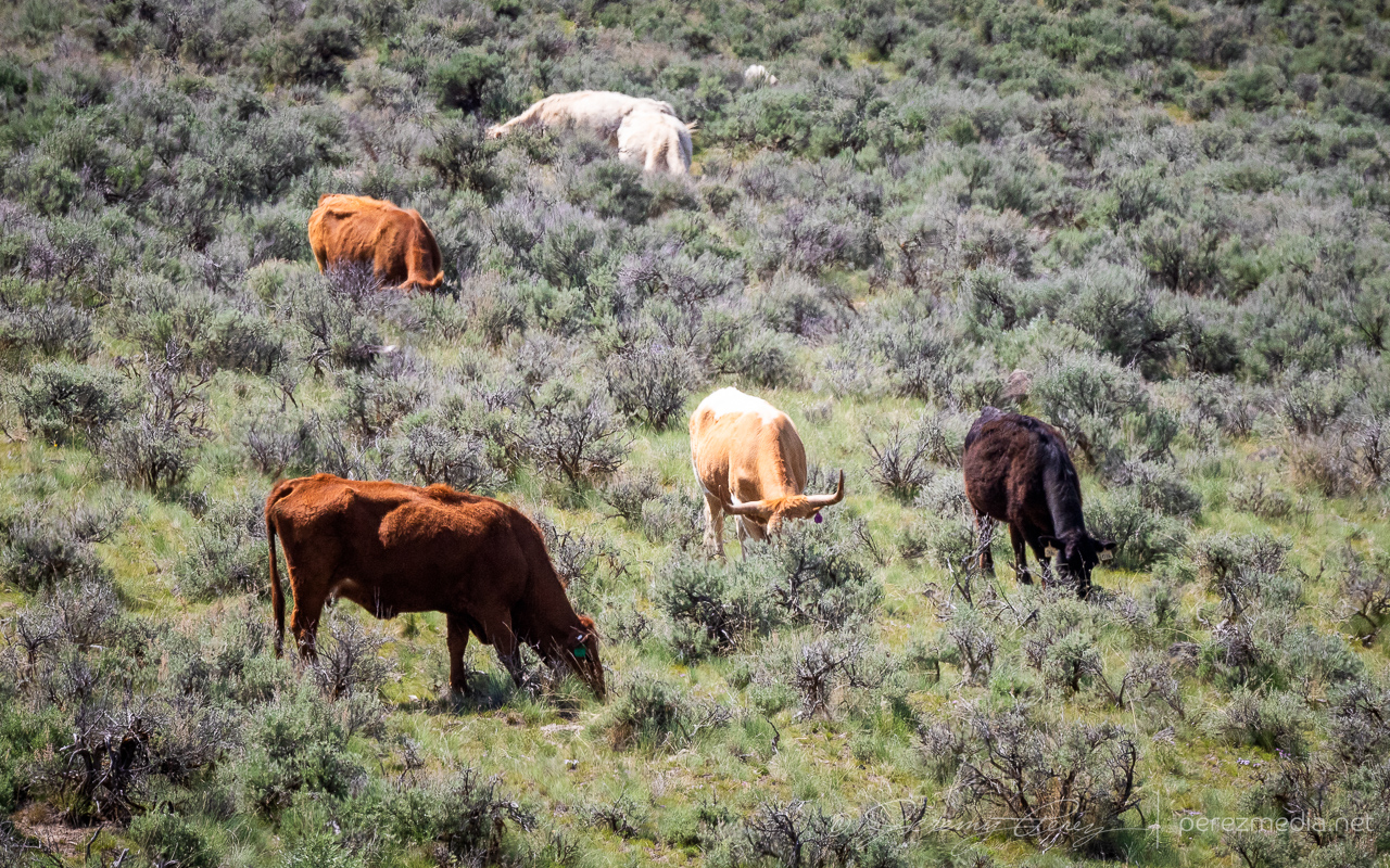
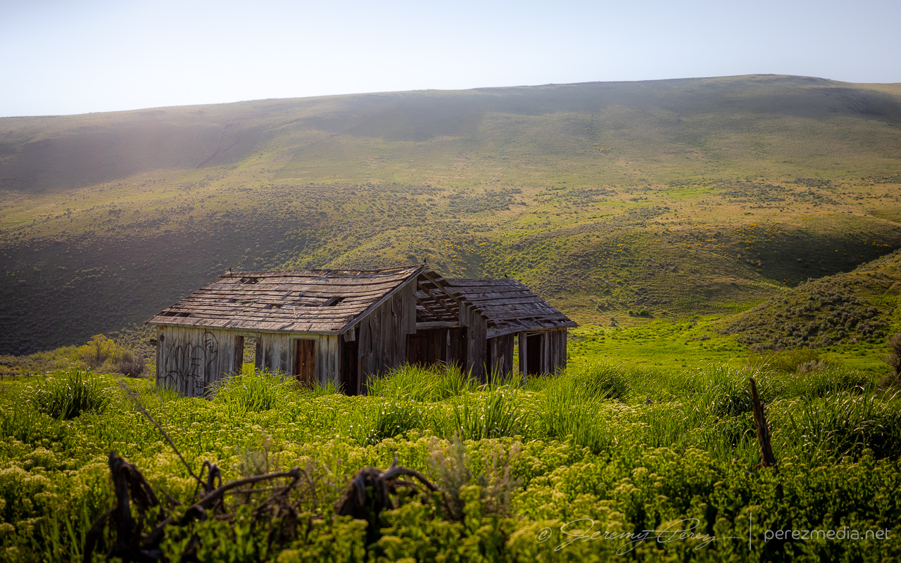
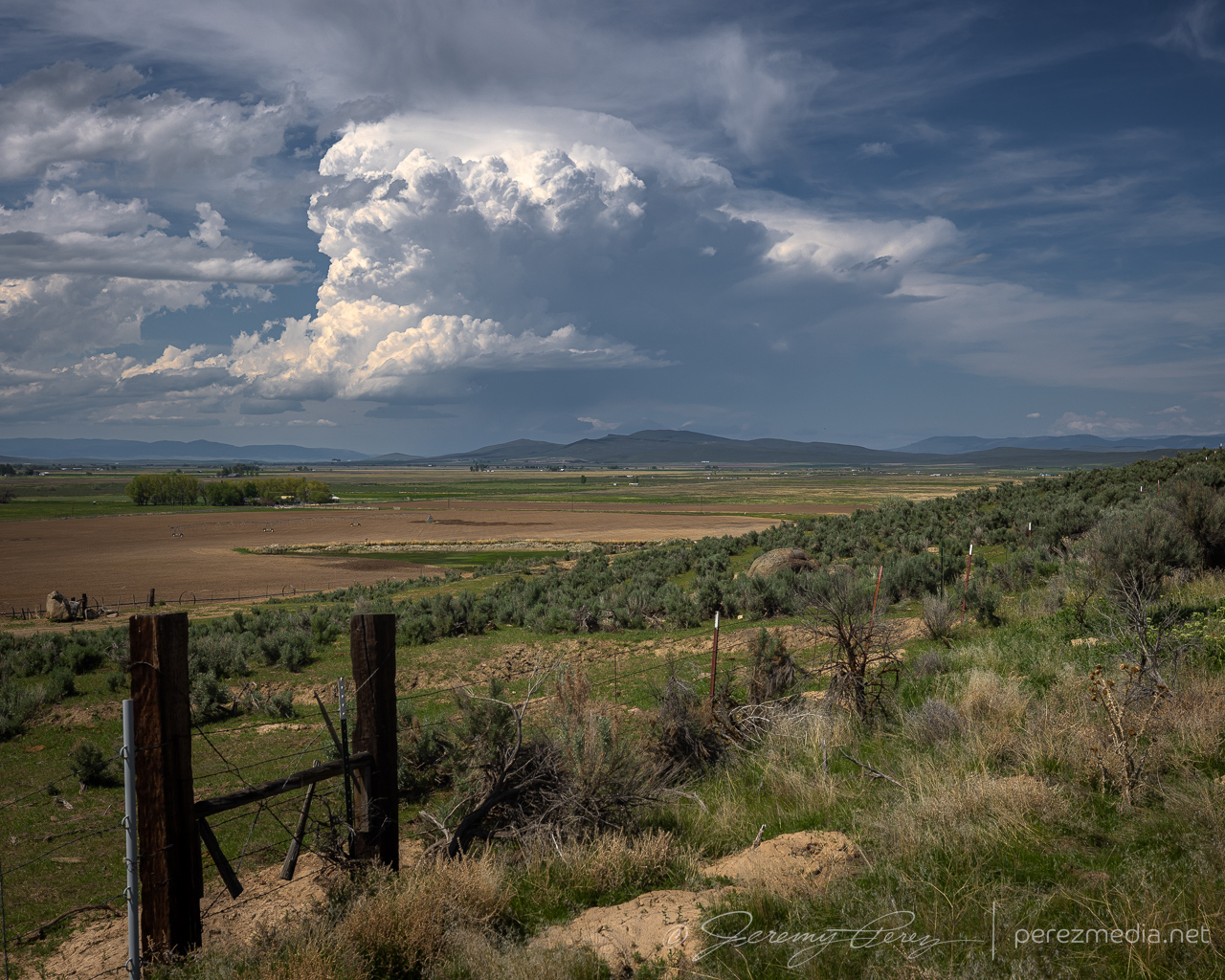
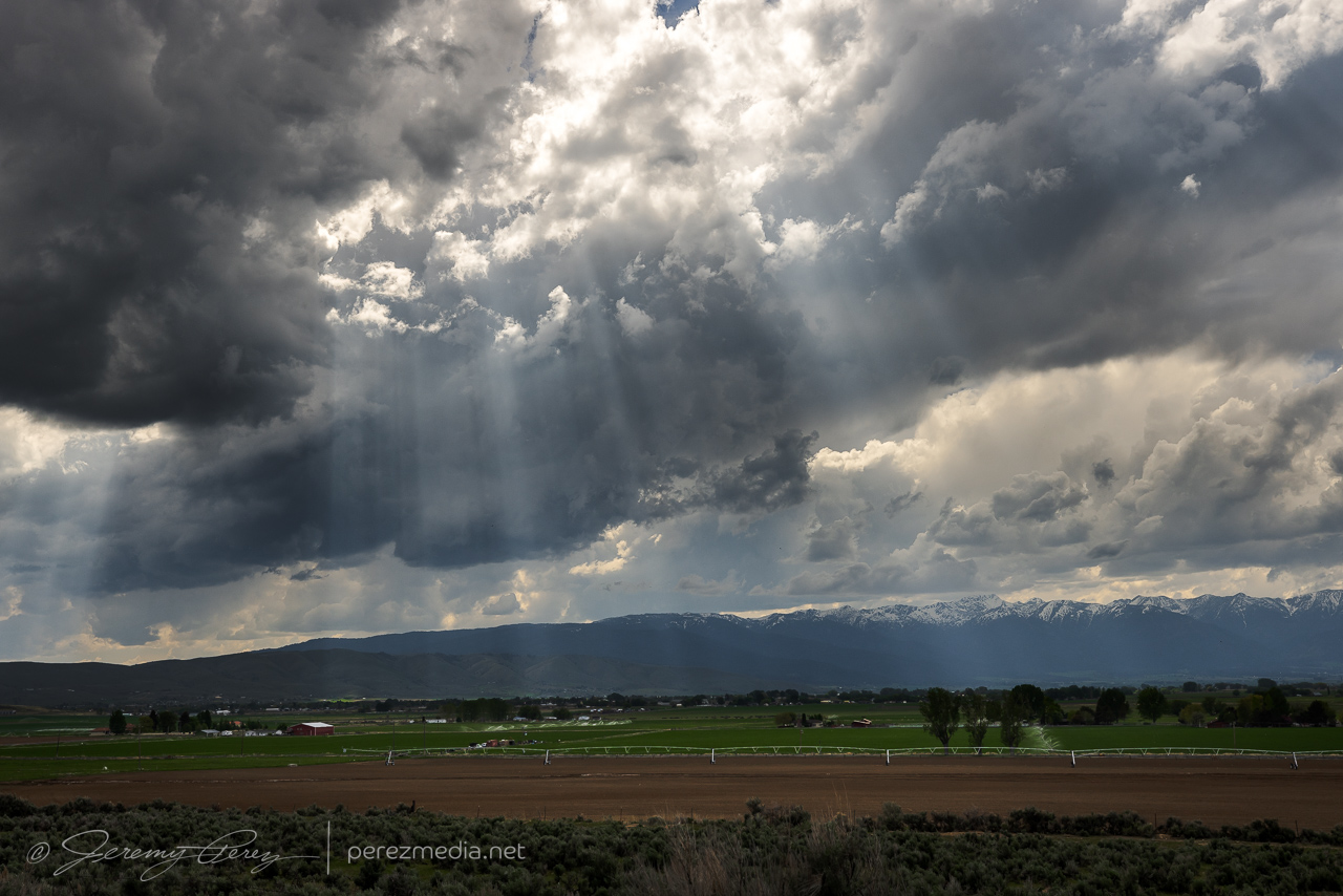
We took in some landscapes and livestockscapes on the way to our target area.
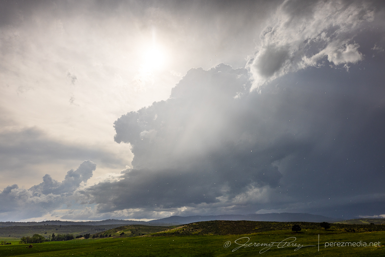
I opted not to get committed to the road network up that way and watched from our spot as the cell gradually withered away.
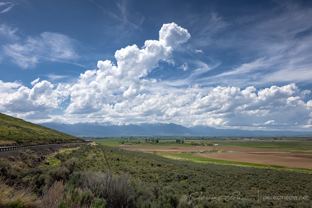
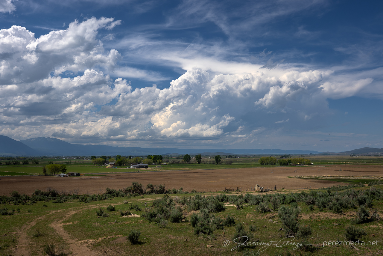
I finally gave up on that spot as new convection to the southwest appeared to be strengthening. The road network, as expected, didn’t give us a good intercept, but we cruised south of Baker City and picked up some garden variety cells over beautiful terrain.
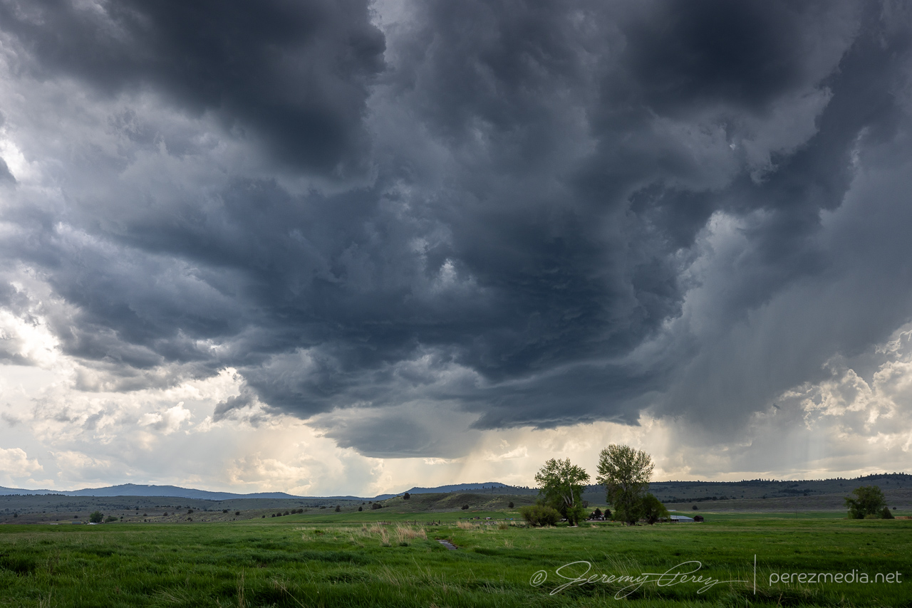
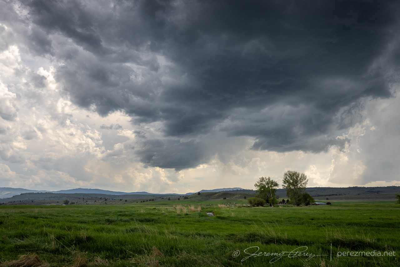
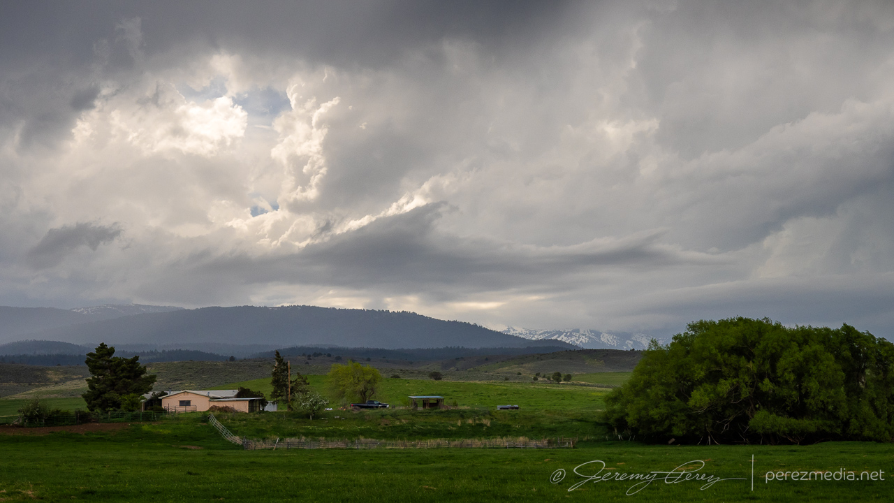
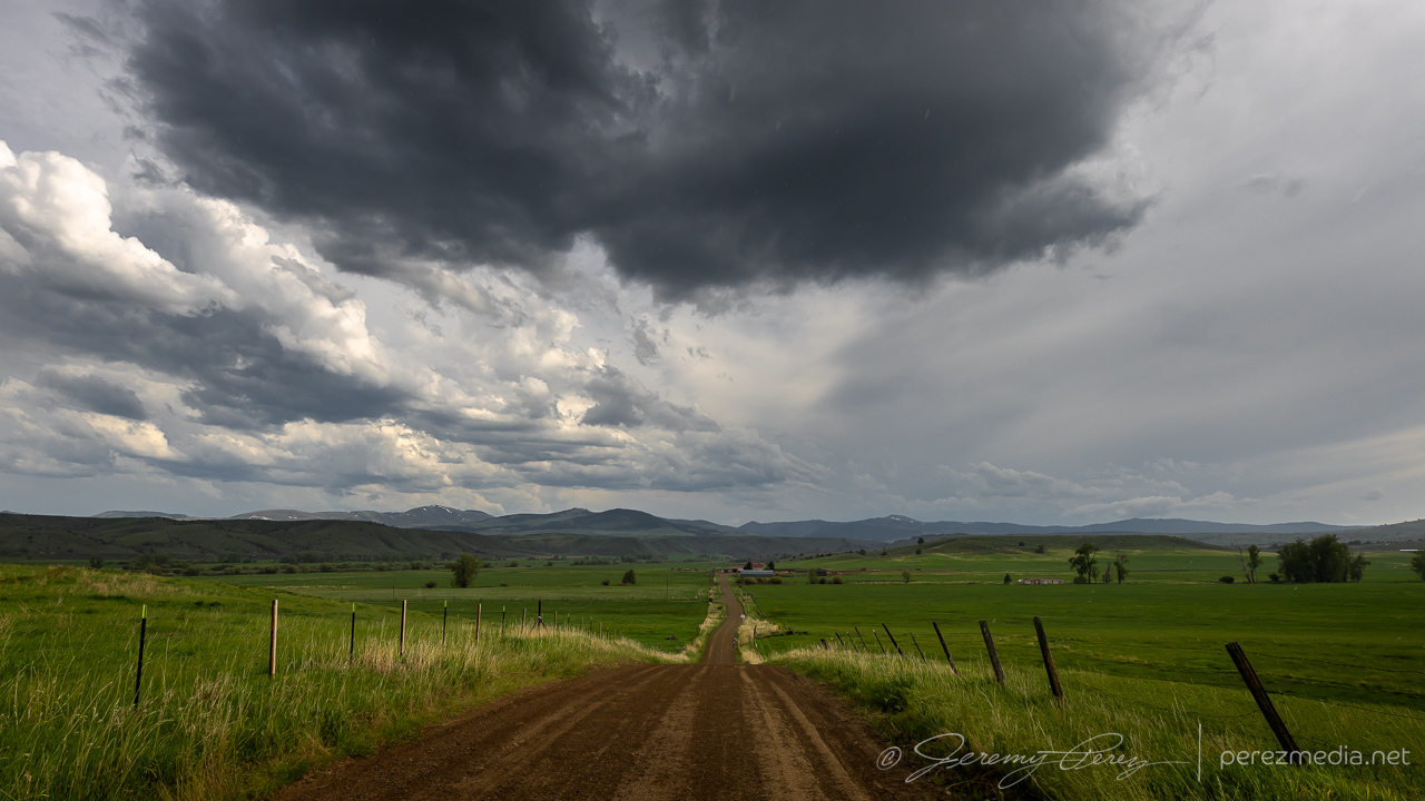
The storms I was able to catch sight of weren’t intense, but the landscape gave me what I wanted: convective skies over gorgeous terrain. After calling the chase, we headed east toward western Montana for the next day’s chase.
Community Comments
There are no comments on this post
Want to leave a comment? Join our community → OR Login →