

Published on
Fort Stockton, Texas has been good to us. It was our first chase target and tornado of the 2019 season and wound up being our last chase target and tornado for the 2023 season.
We started near Big Spring, Texas that morning. Convection was going to light early off the terrain. it was only a couple hour drive, but I still nearly missed getting us there in time. Coming into town, a strong storm was already moving in from the west. But I was hungry and anticipating hours of driving, so we pulled into a Burger King drive through for a quick food grab. But quick, it was not. Sitting in a mercilessly plugged-up drive-thru, squinting past various, opaque foreground elements as half obscured lowerings churn out of the passing storm is a sick, sad experience.
We finally managed to break free and scarf on the run, finding a vantage east of town around ten minutes later. A local pulled up wondering whether we were lost. People driving out from Arizona to watch storms didn’t seem to make sense to him, but he agreed they needed some rain.
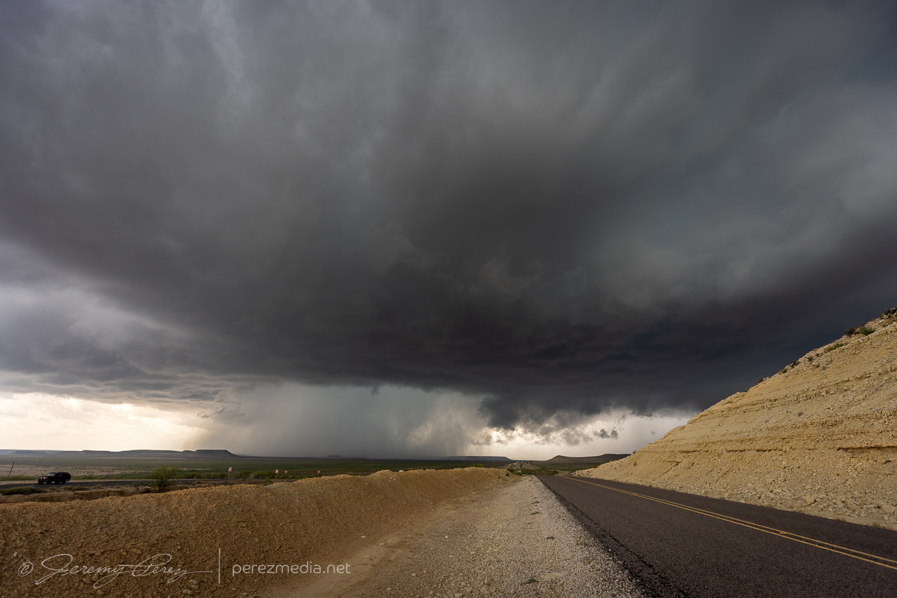
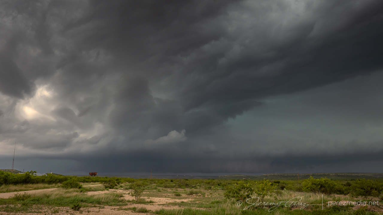
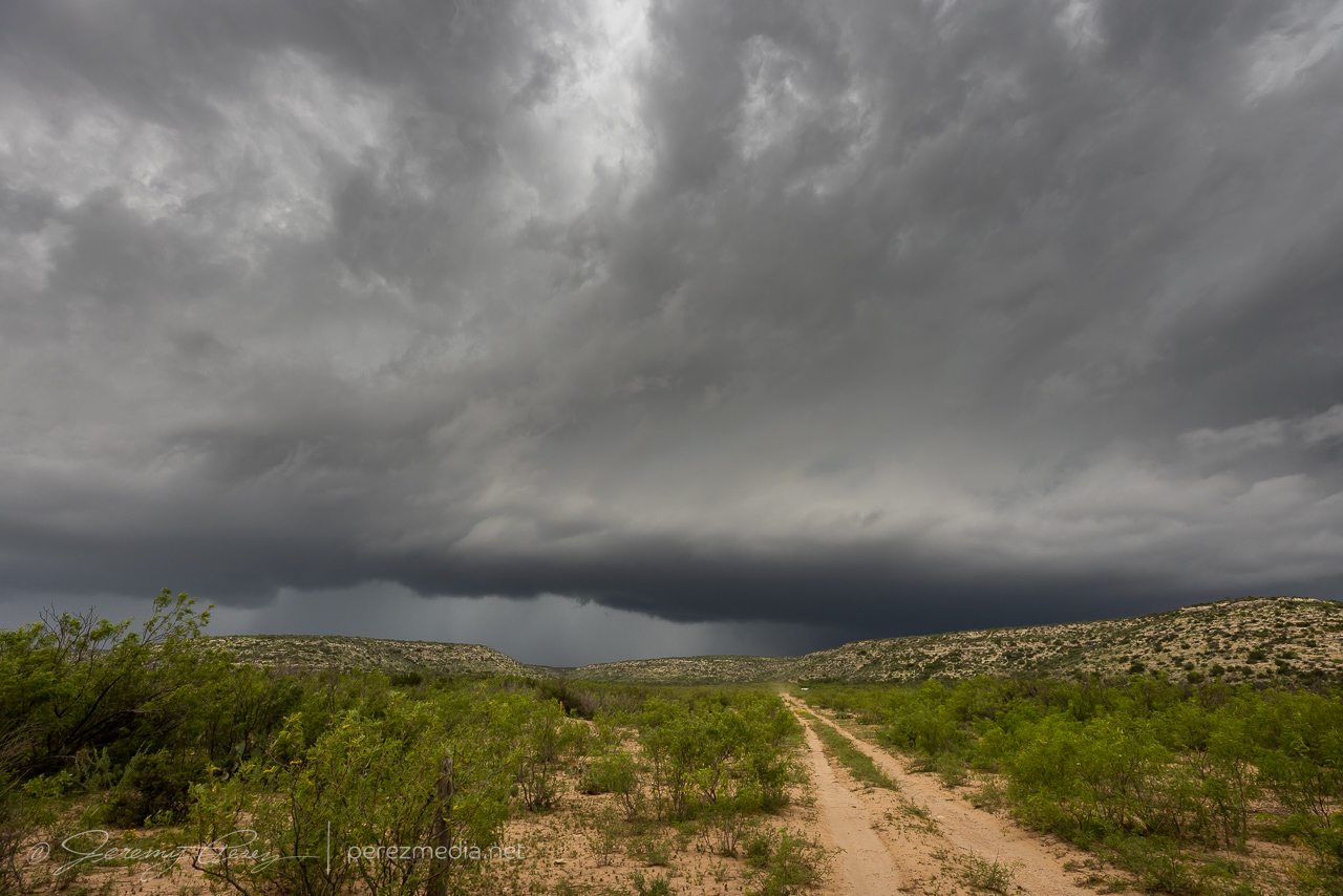
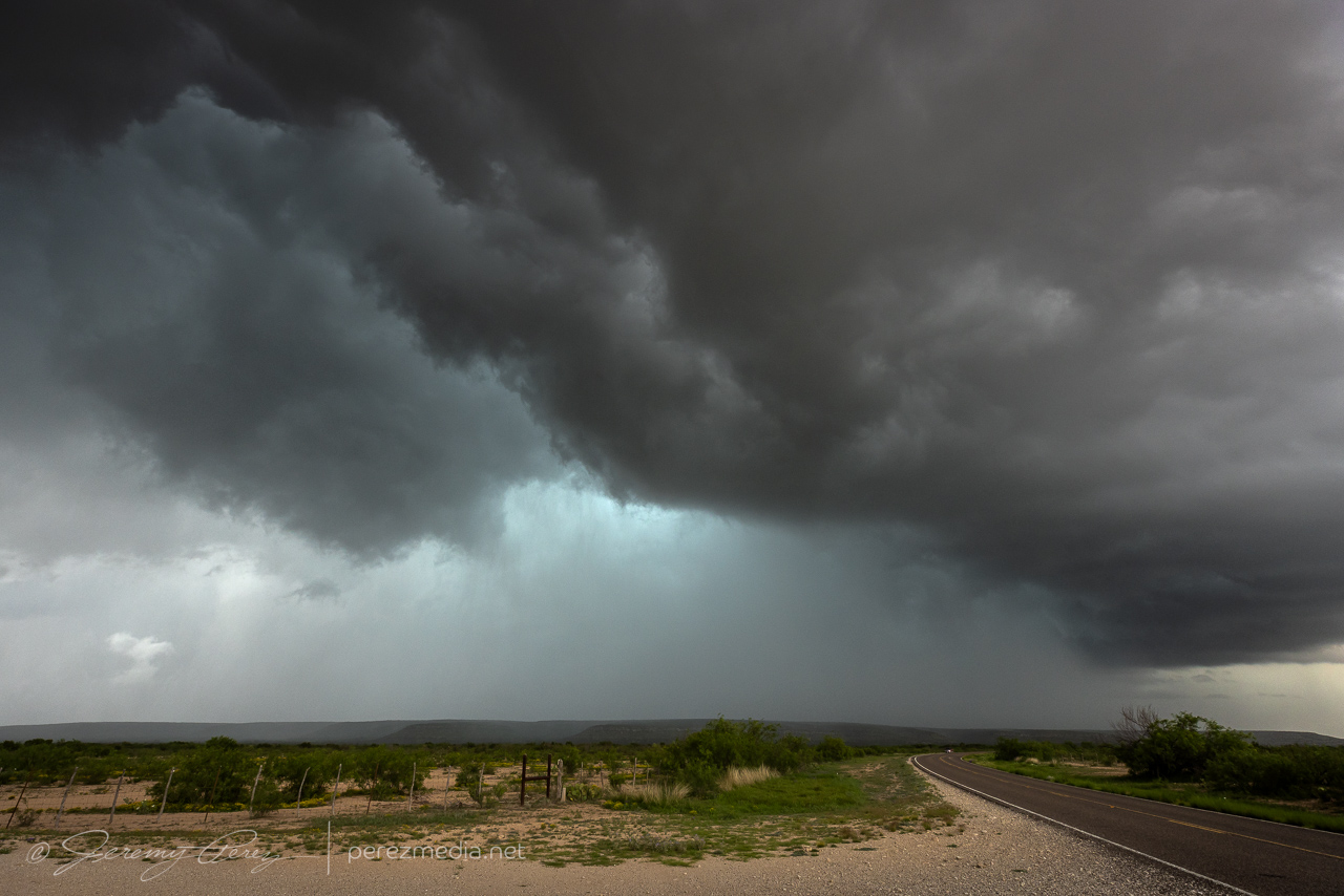
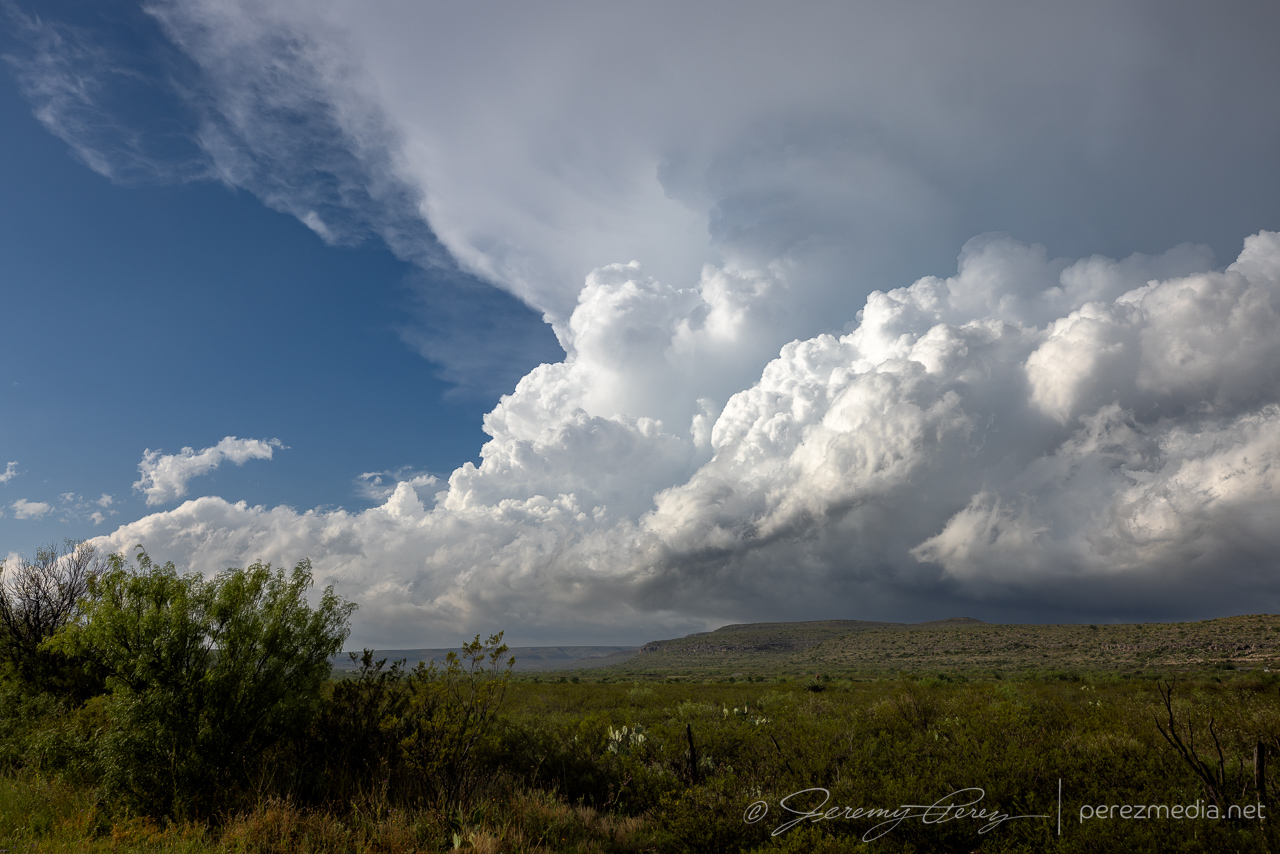
As the cell moved east, it seemed like we might repeat some vantages from 2019. So we got on I-10 and made our way to the excellent frontage road we enjoyed the last time. Our storm started bulking up with RFD carving a wide swath in the base as it tracked along the highway.
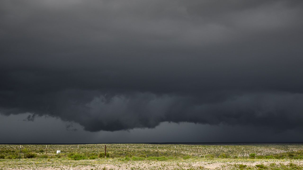
A tail cloud and embedded wall cloud started to develop as other chasers filtered in.
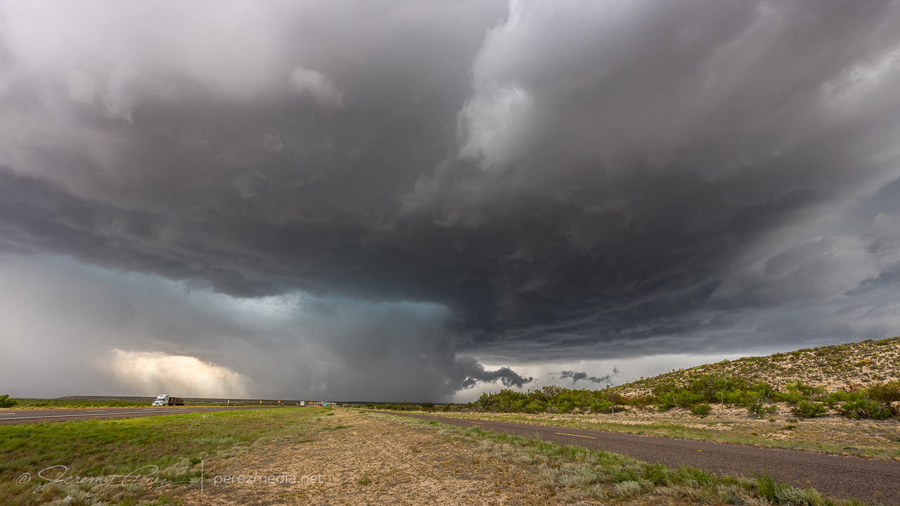
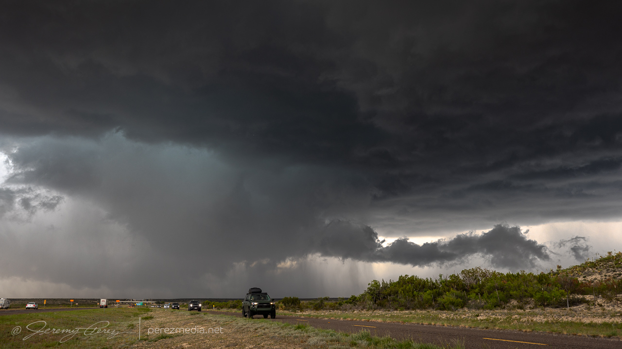
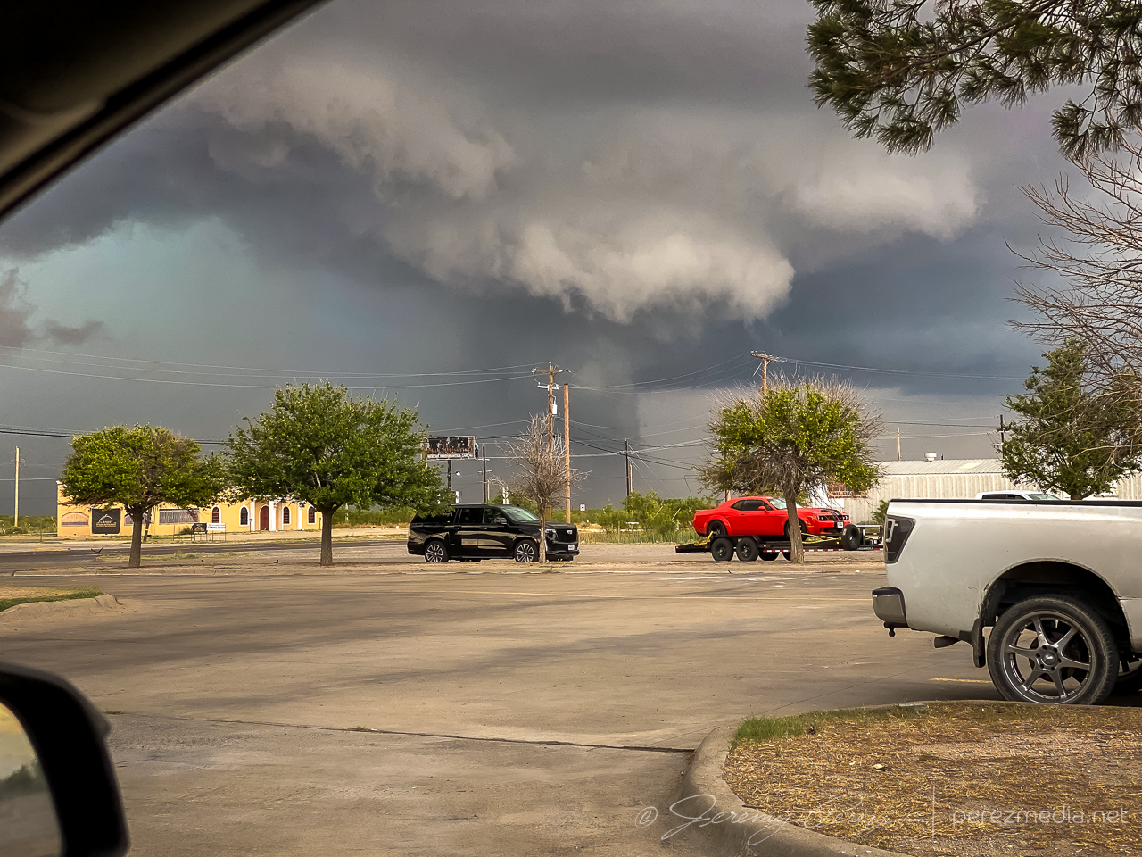
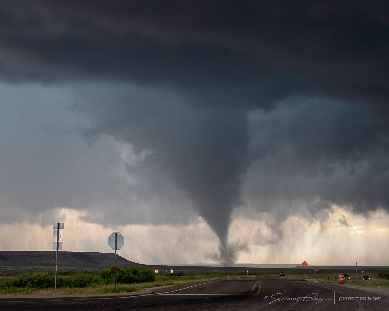
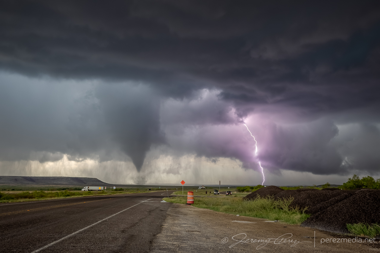
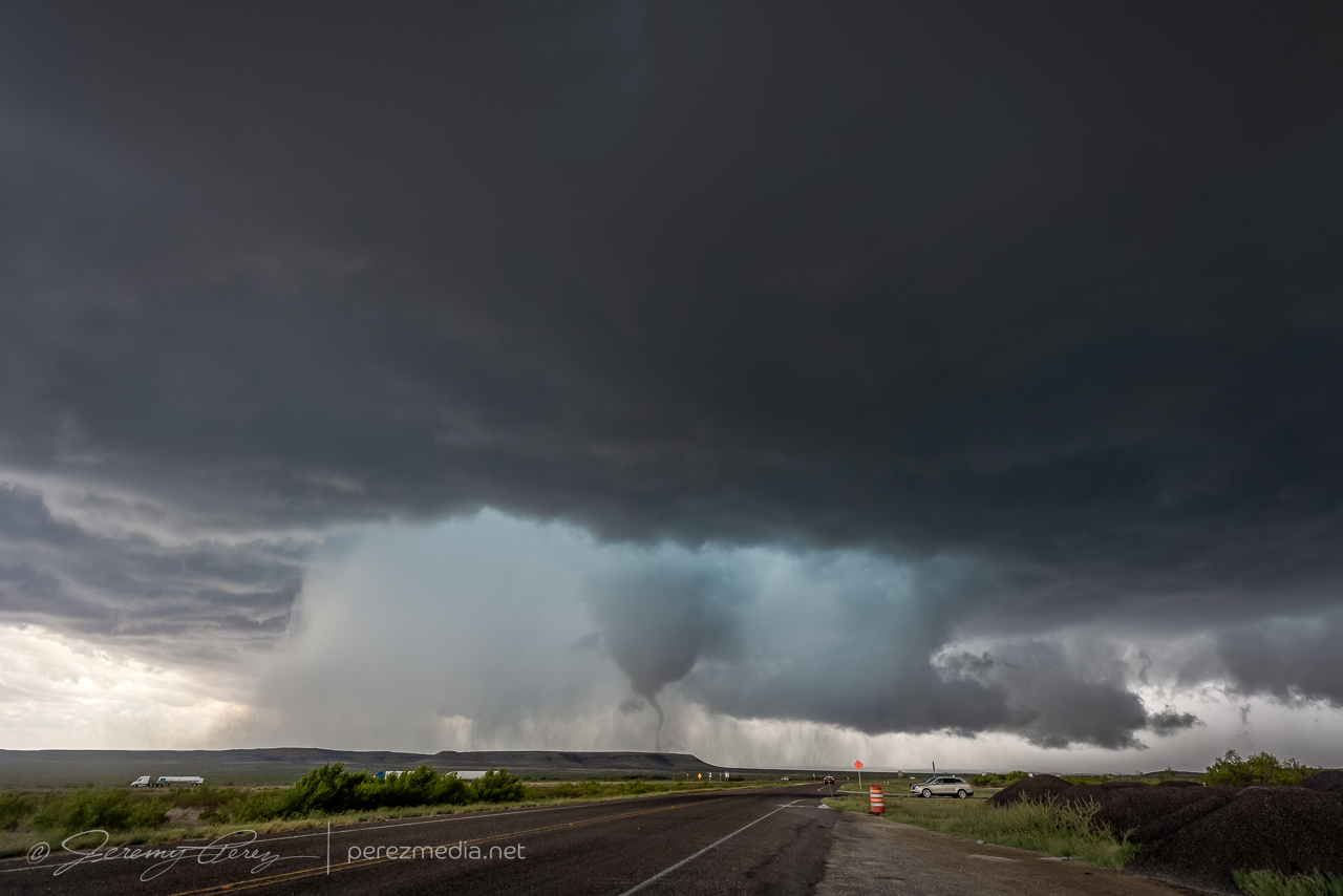
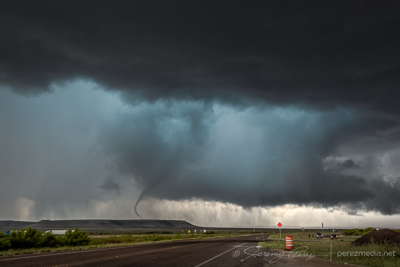
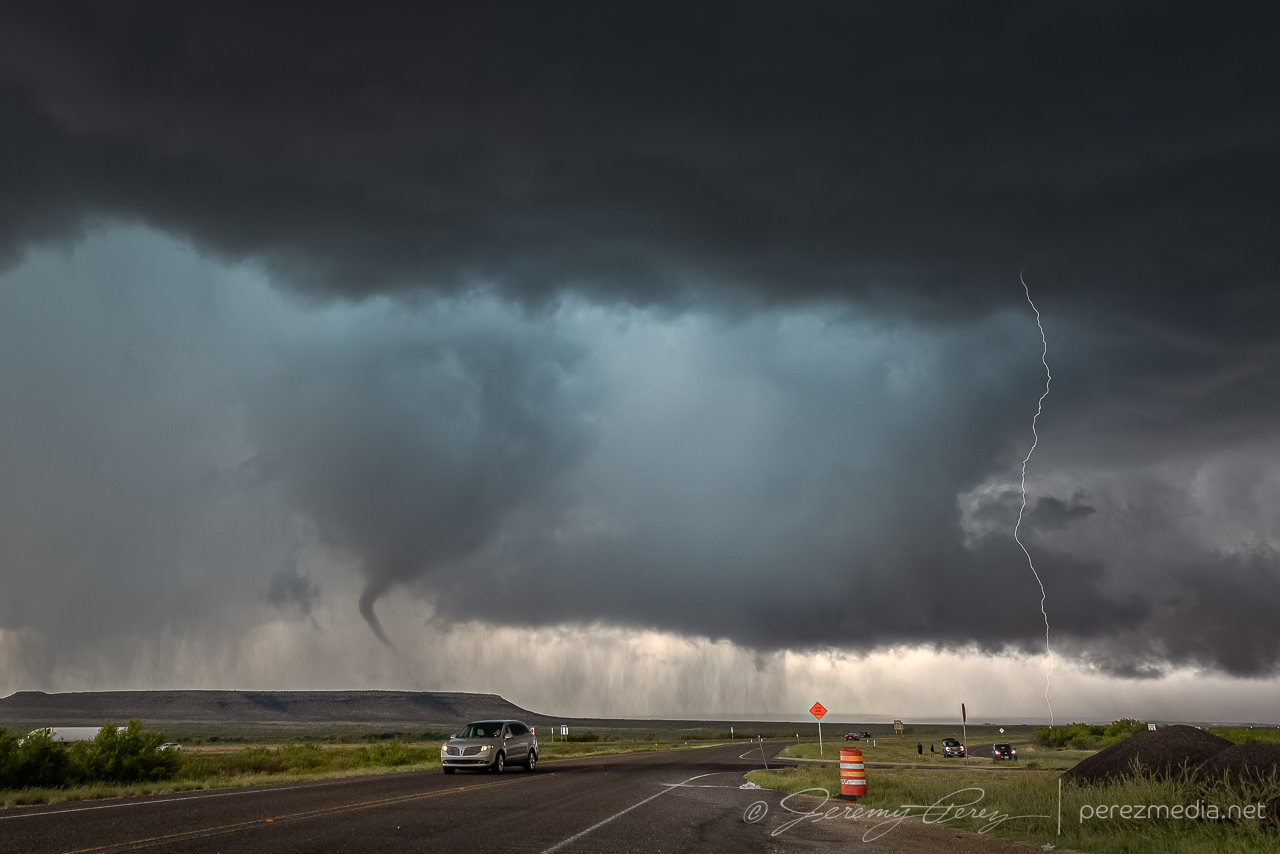
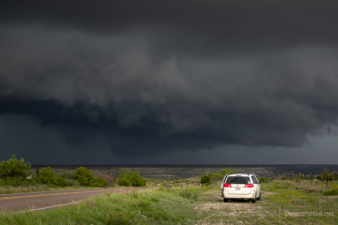
It looked imminent, and with plenty of easy parking on the shoulder, I kept us notching eastward. About 3 miles further east, just past the RM 2023 exit, the RFD finally cleared out and the wall cloud started lowering a funnel.
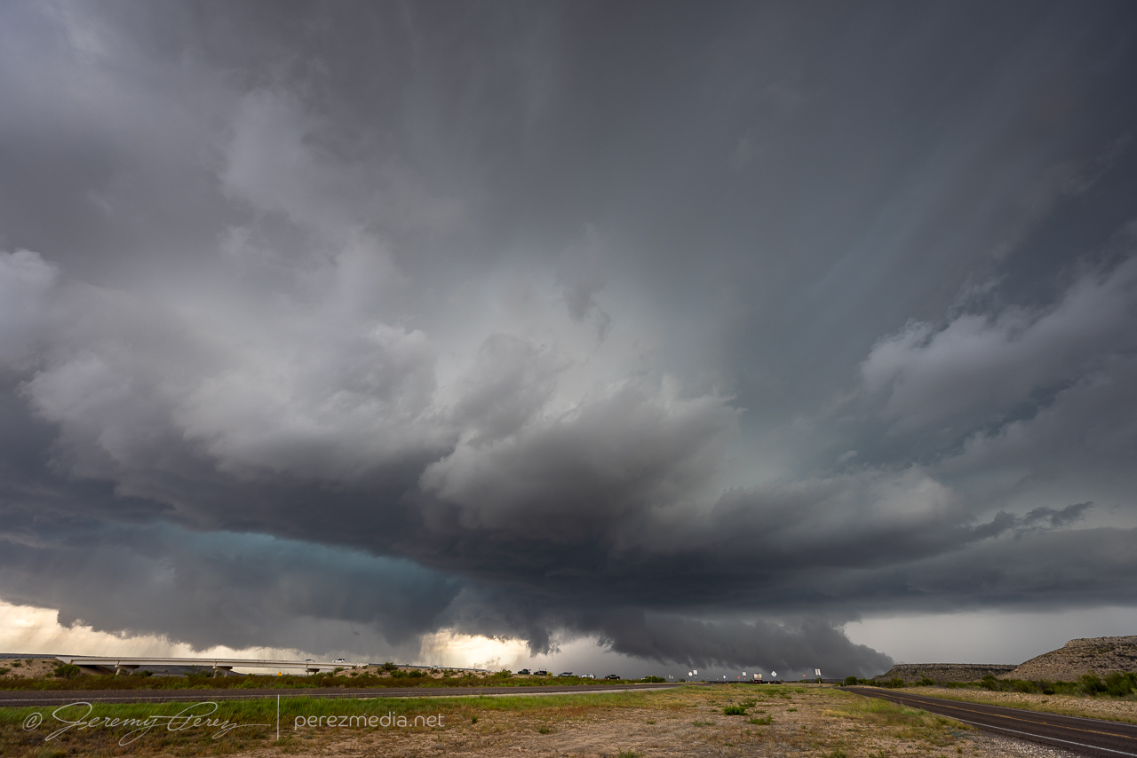
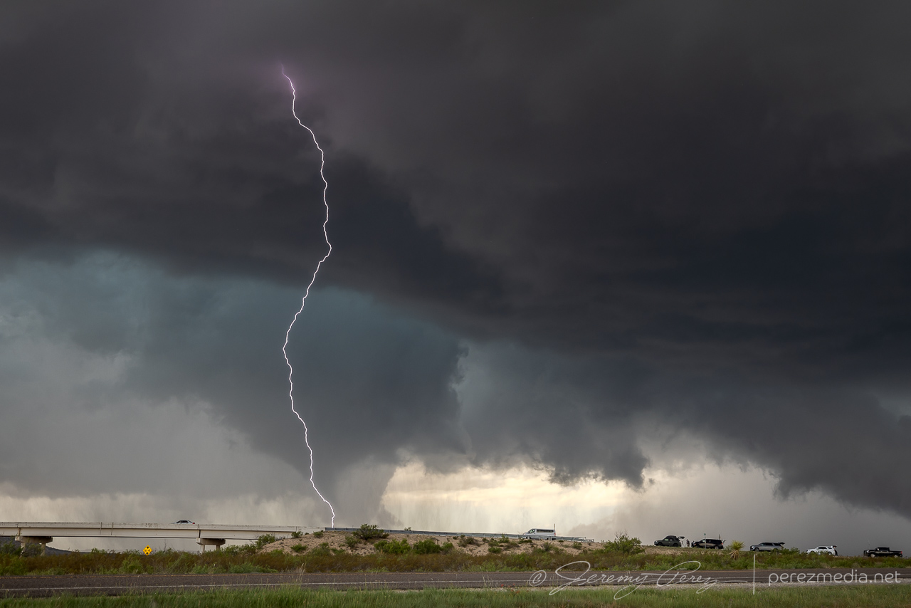
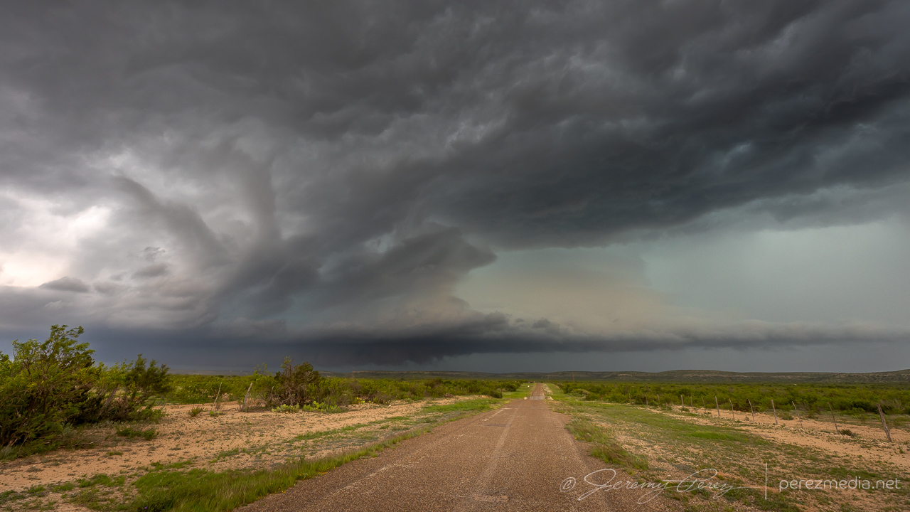
When we stopped here, I was thinking we might need another half mile or so before it produced, and was just doing a quick spot check. So, it was a crummy vantage. The funnel started descending right behind the overpass. I got mentally locked up thinking, what if it’s a quick spinup — if I reposition now, it might be over & done while I’m driving. So I hung in that spot longer than I should have with the overpass blocking a full view. I did have my lightning trigger in play, so it was snagging random shots in between my deliberate shutter releases. It pulled off a decent CG running through the almost-down funnel.
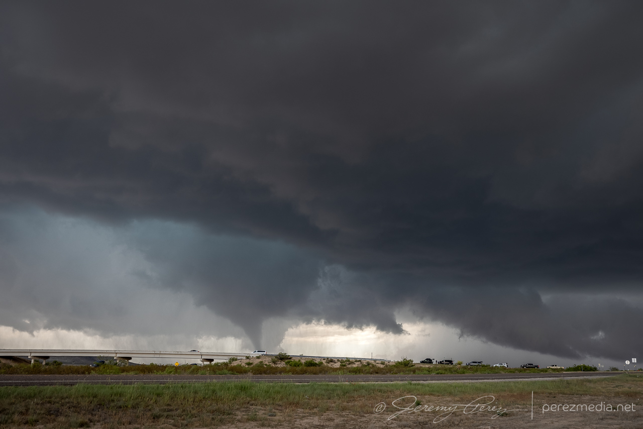
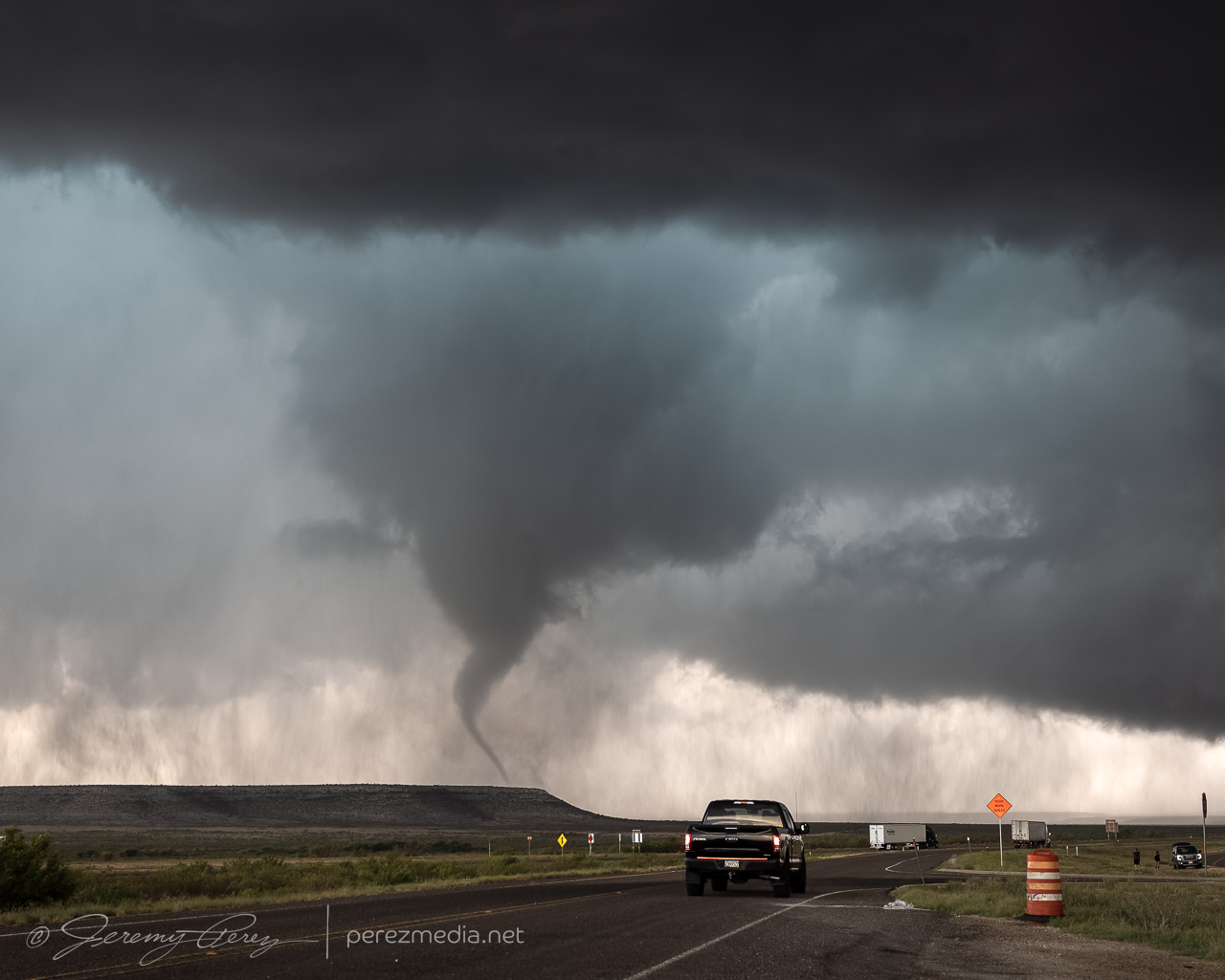
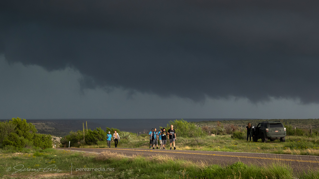
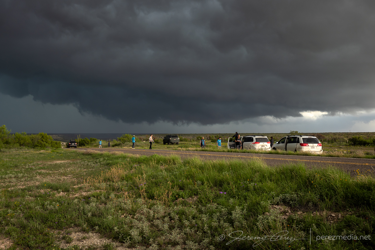
After snagging a few more just-in-case photos, I retreated back to the overpass/frontage-road intersection to get an elevated view. The tornado fully condensed and spun up a tight debris fan at its base as it drifted right to left.
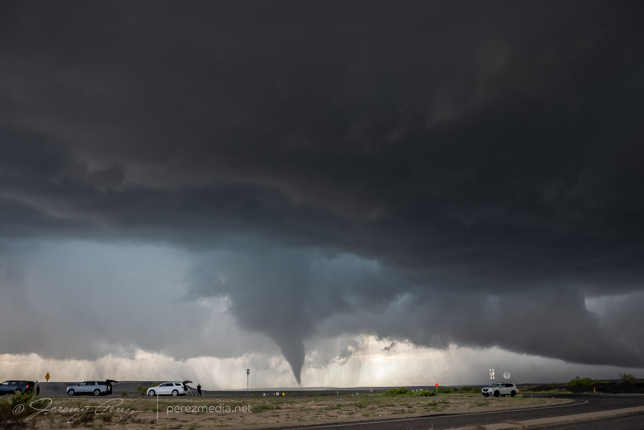
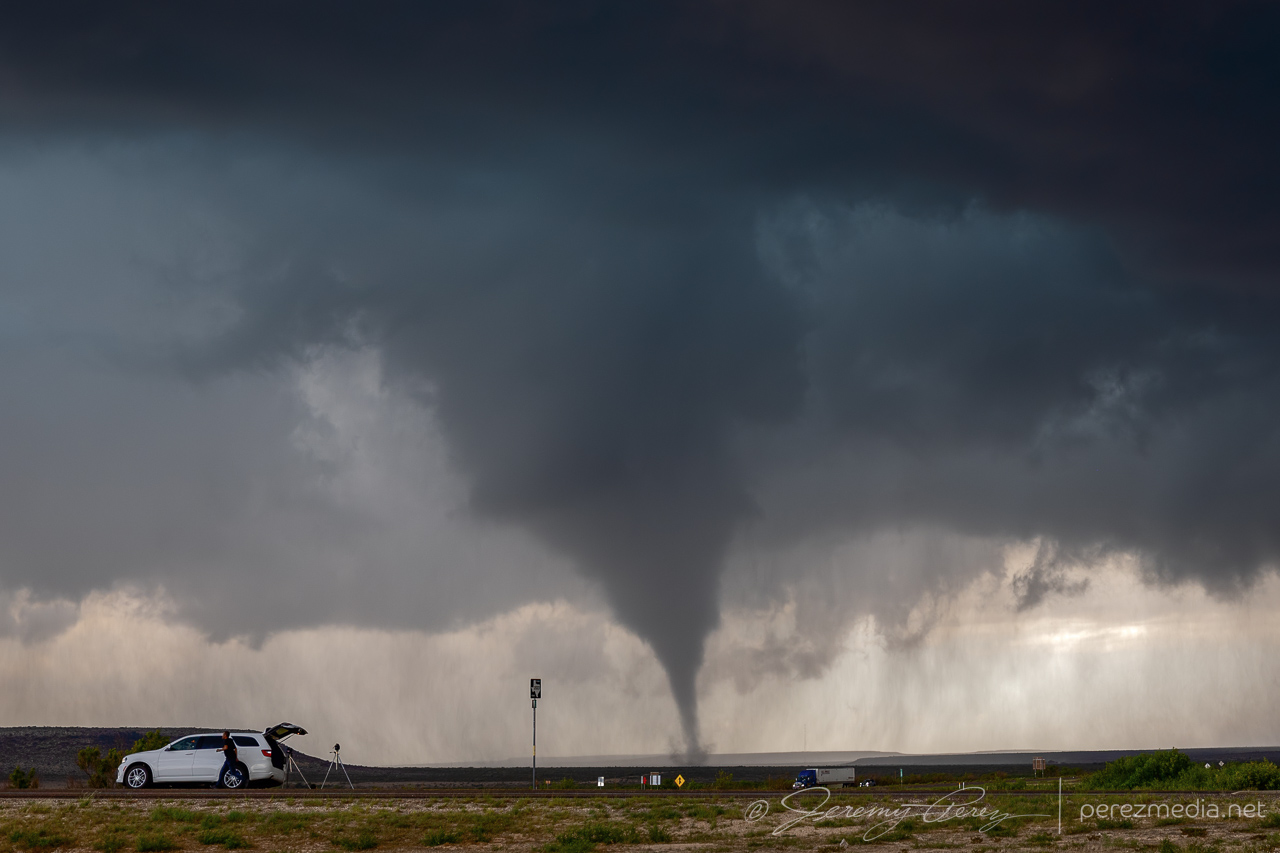
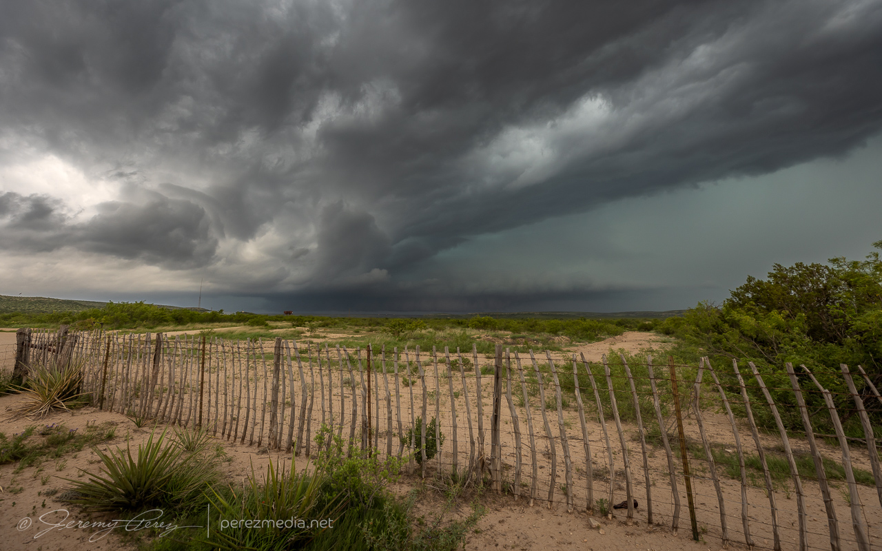
After each batch of shots, I kept creeping along the shoulder, looking for different views while my daughter shot video. The lightning trigger was going nuts with all the CGs popping off and I wasn’t interested in getting outside the car with all that.
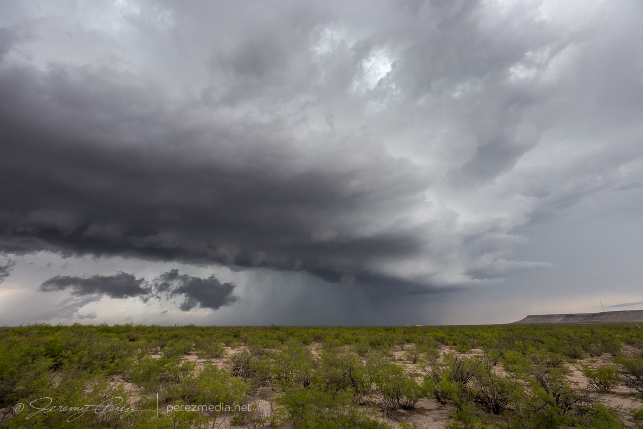
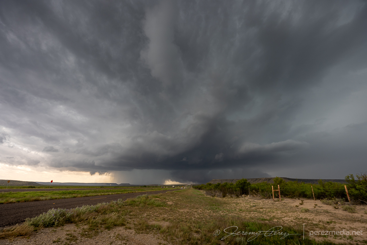
As it moved to the left, it approached a mesa and started roping out. It seemed like it was dragging itself upward before whipping around a bit and dissipating.
After it roped out, we drifted further east to see if it would cycle and produce another one.
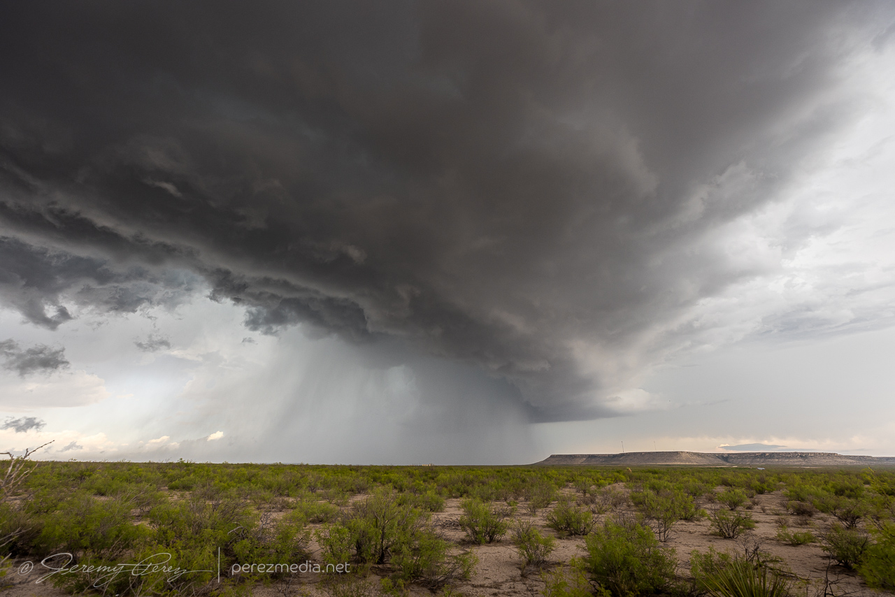
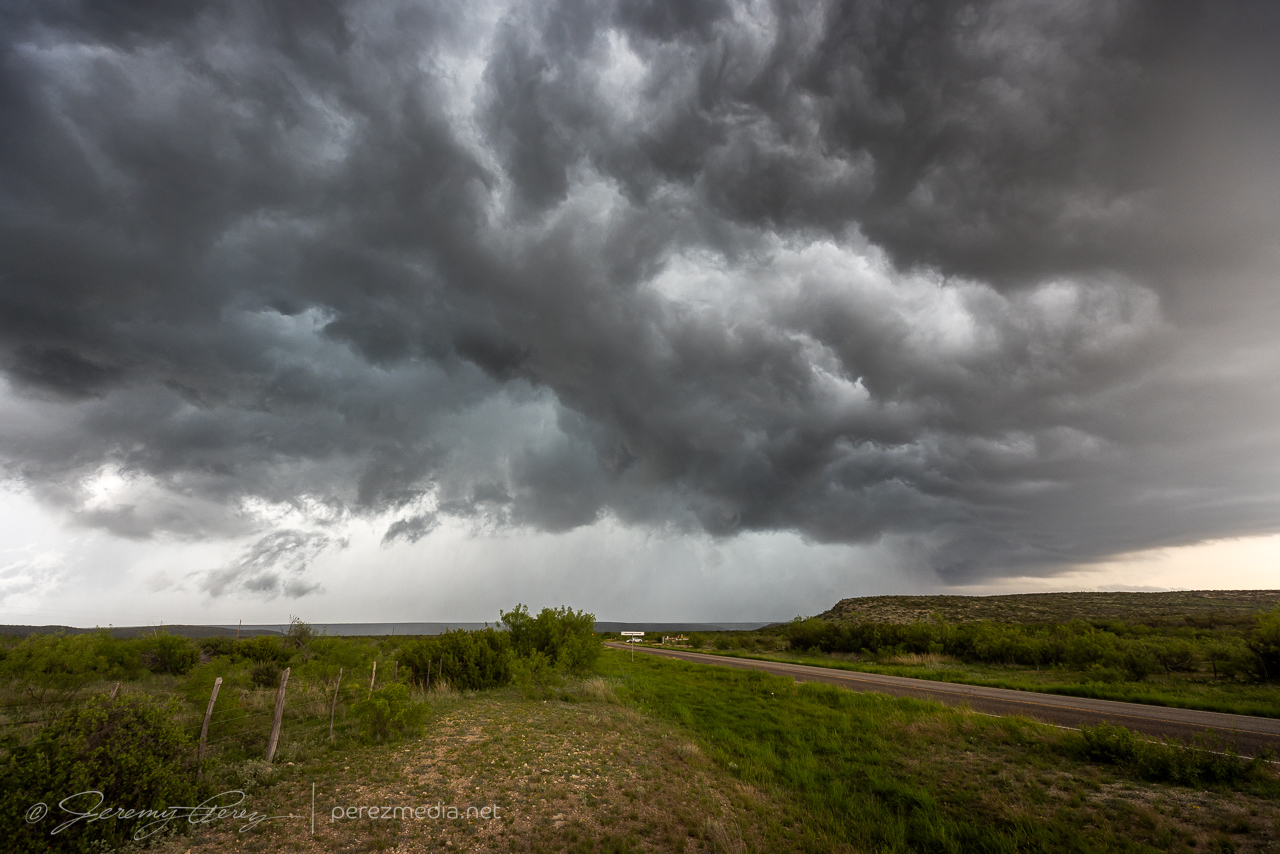
By this point, the storm was moving southeast and we needed to get south of the interstate. So we headed 20 miles east to RM 2886 and went south looking for a new vantage. About an hour later, we made it down to a paved ranch road, Harral Rd., which looked like our best option. Terrain was a visibility issue though and this westward option didn’t dish out the best views, especially with the need for caution to keep distance so we could get back out in time without the storm cutting us off.
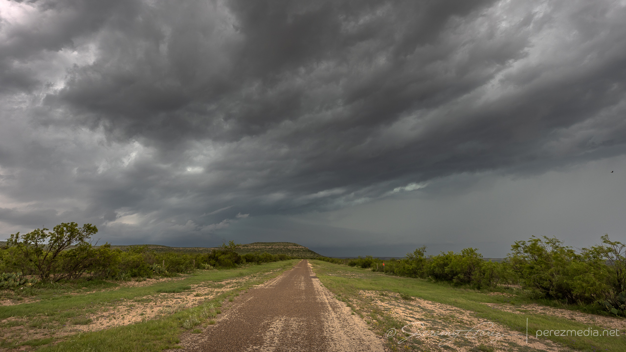
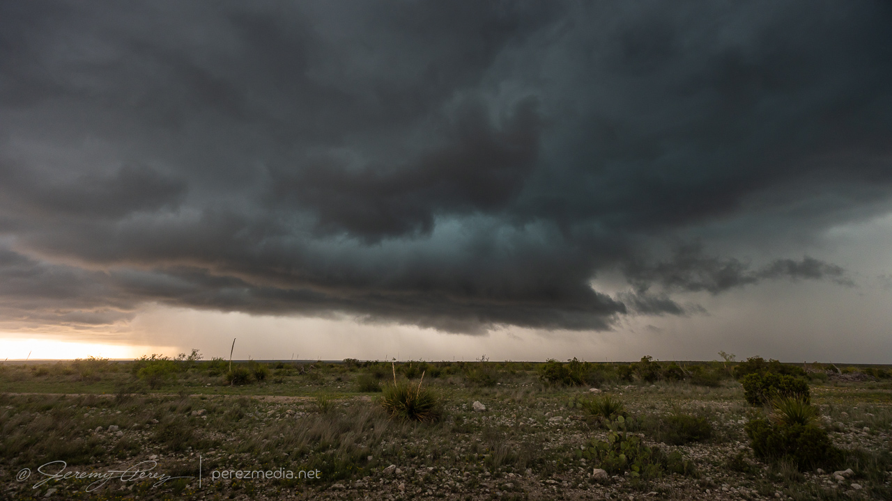
Hills and mesas continued to block the view as we continued south on RM 2886. A tornado was reported on the storm at 2041Z, but we had no view of it either beyond the terrain or behind the precipitation.
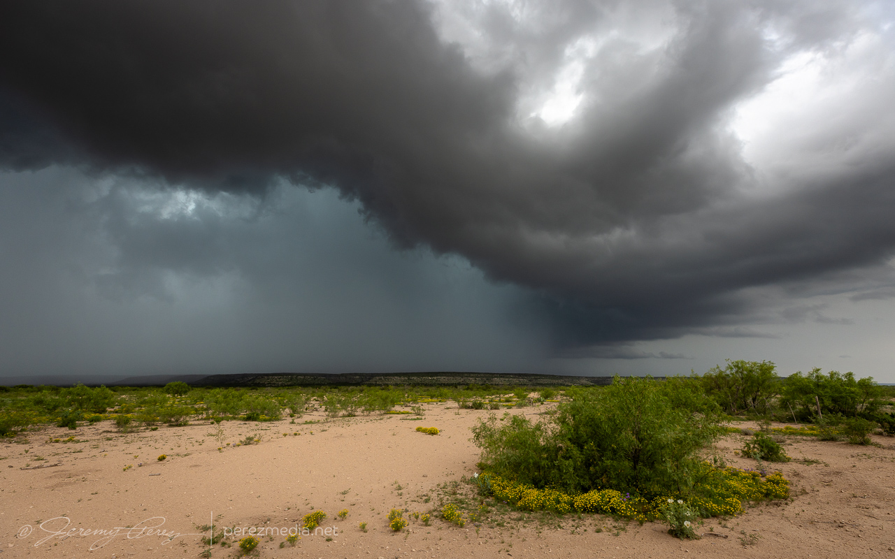
At this point, our storm started moving east again while new storms started to fire westward along its outflow boundary. Things got messy and difficult to view amid all the precip cores and embedded circulations. The best thing I figured we could do was look for elevated spots and see if anything would emerge.
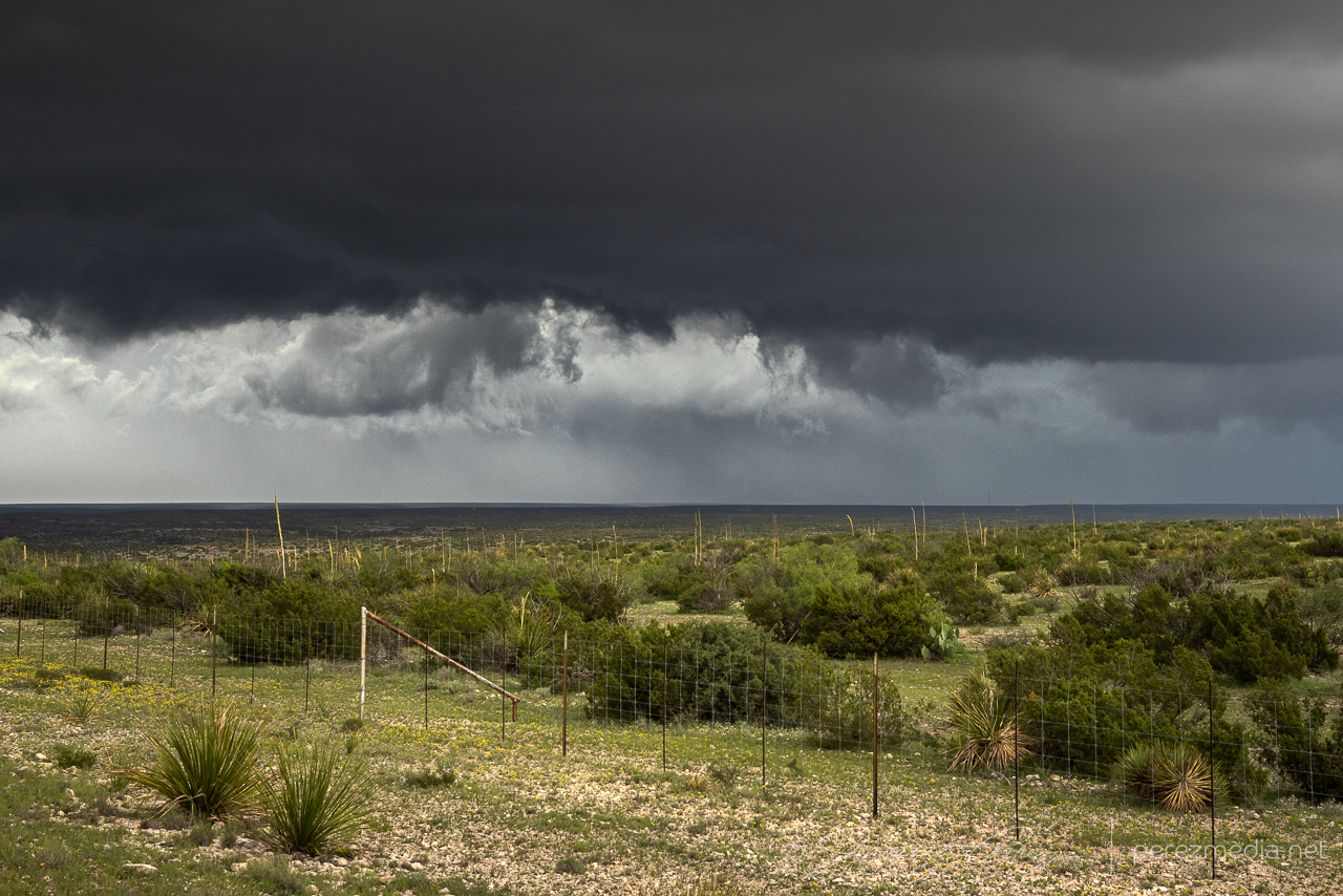
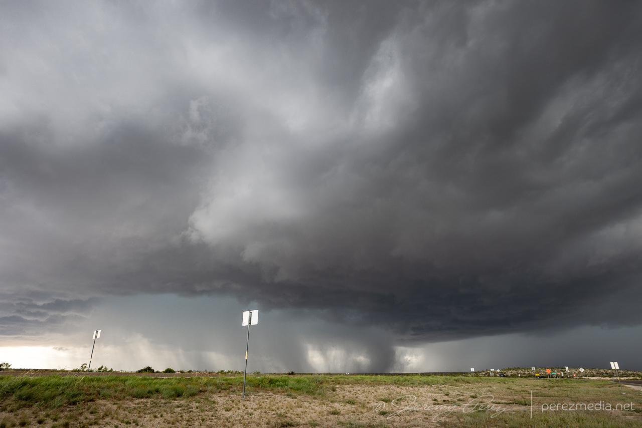
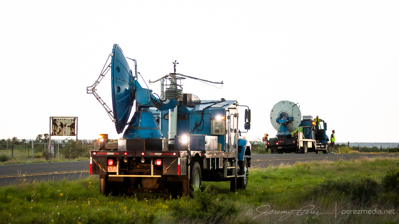
We headed southwest and then east on RM 2400 for another chance at seeing something. Some lowerings appeared, but nothing discernible beyond that. Doppler trucks showed up at one point and parked nearby, with me wishing I had their up-to-the-minute views of radar compared to the spotty data I was getting.
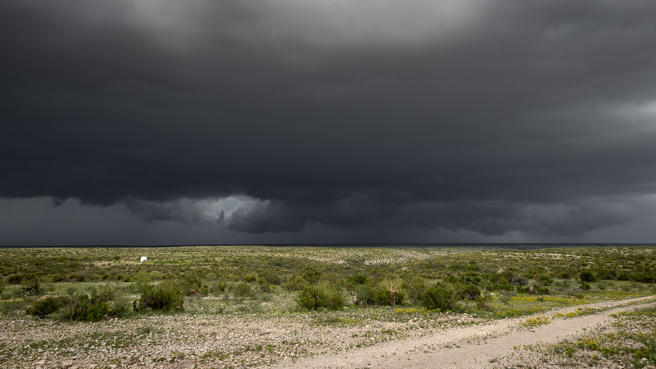
By this point, we needed to bail back west, dodging a couple RFD cores along the way to get south on Hwy 285. I was really struggling with decent data and figured things were turning too messy to target precisely. So we stopped in Sanderson to gas up and take a bathroom break before moseying east on Hwy 90 to grab parting shots of the storms and rainbows.
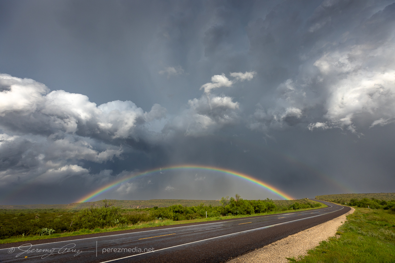
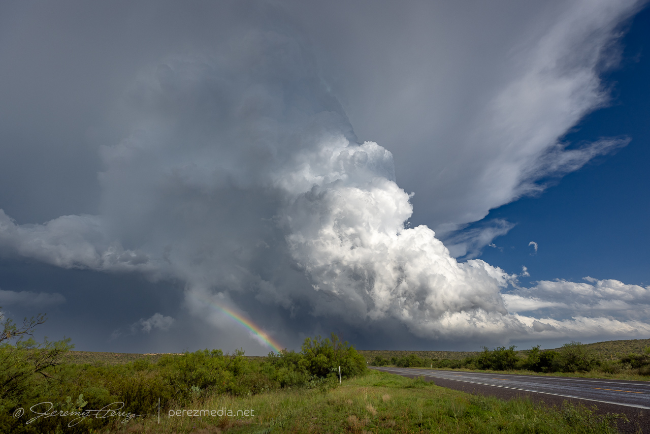
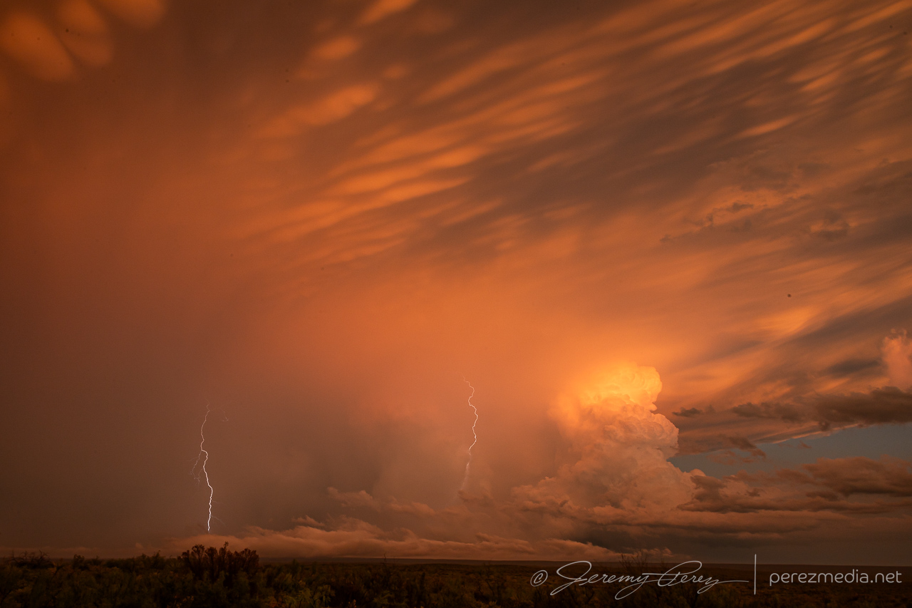
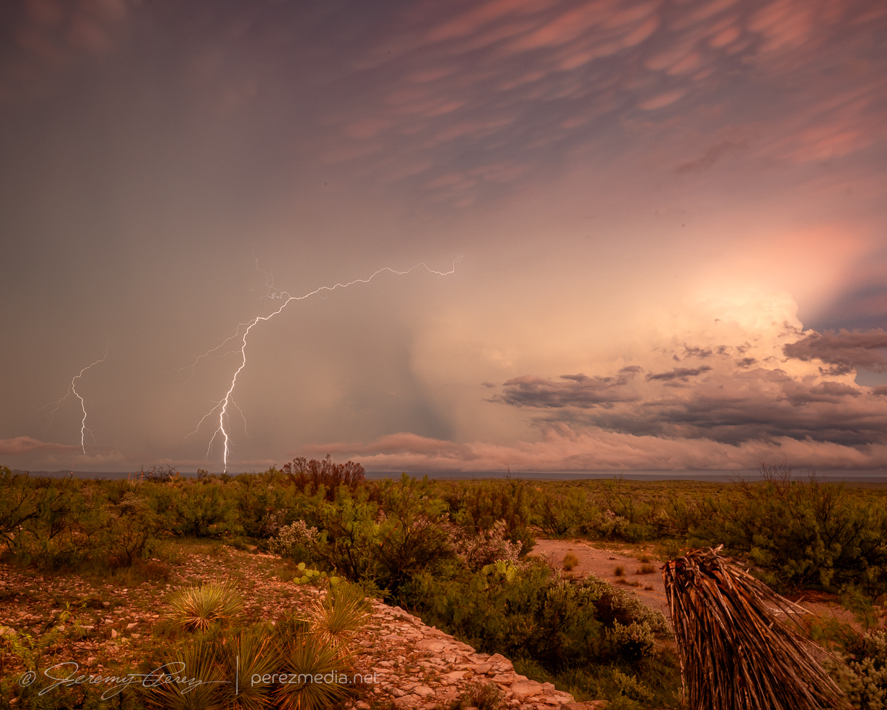
As we sat there enjoying the rainbows and dicing against impossible to catch lightning strikes, tornado reports started popping up on the storm to our east. I had missed the chance to get ahead of it before it started coring the highway, so besides being behind, there was the bigger question of whether it would be possible to punch the forward flank without trashing the car, besides whether the cell would keep cycling and provide another opportunity.
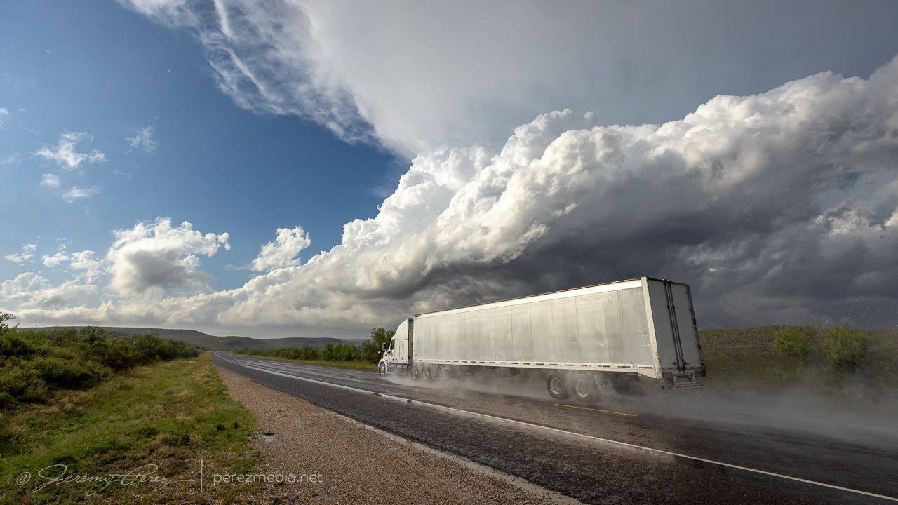
I gave the core punch a shot, but poor data hosed my confidence and as hail approached ping pong ball size, I couldn’t justify pushing the ice odds any further, so we held back. As photos started to show up on Twitter/X/Whatever, of a very stout tornado south of the highway near Dryden, my heart totally sank at the missed opportunity. Which in retrospect is ridiculous. We had just seen and documented an awesome, photogenic tornado. The act of flipping through social media while the storm hail-blocked us, and then grousing about missing a second tornado seems pretty thankless. (e.g., remember when you caught Chapman and a bunch didn’t? Quit complaining.) So yeah, the well know perils of social media chasing — something to ponder soberly before next chase season.
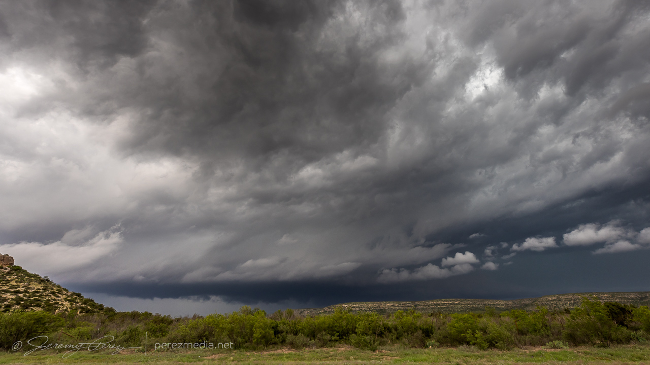
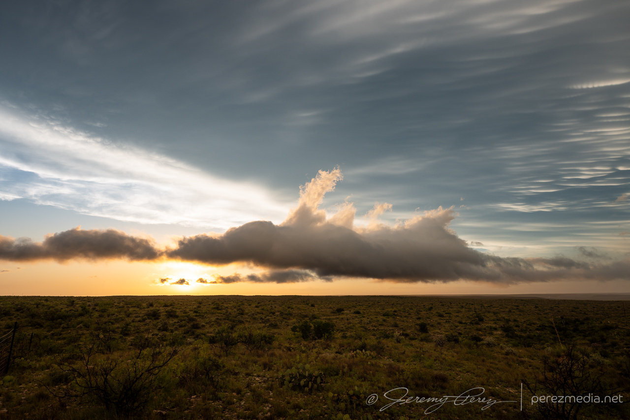
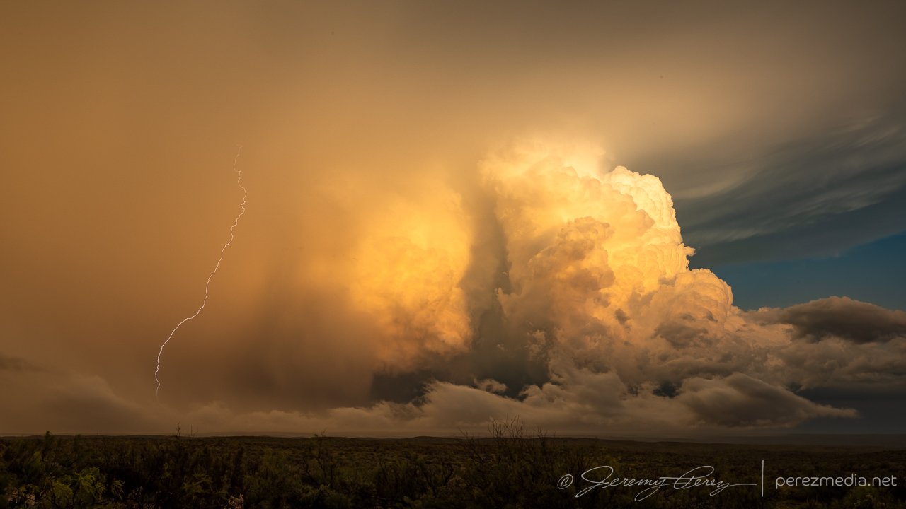
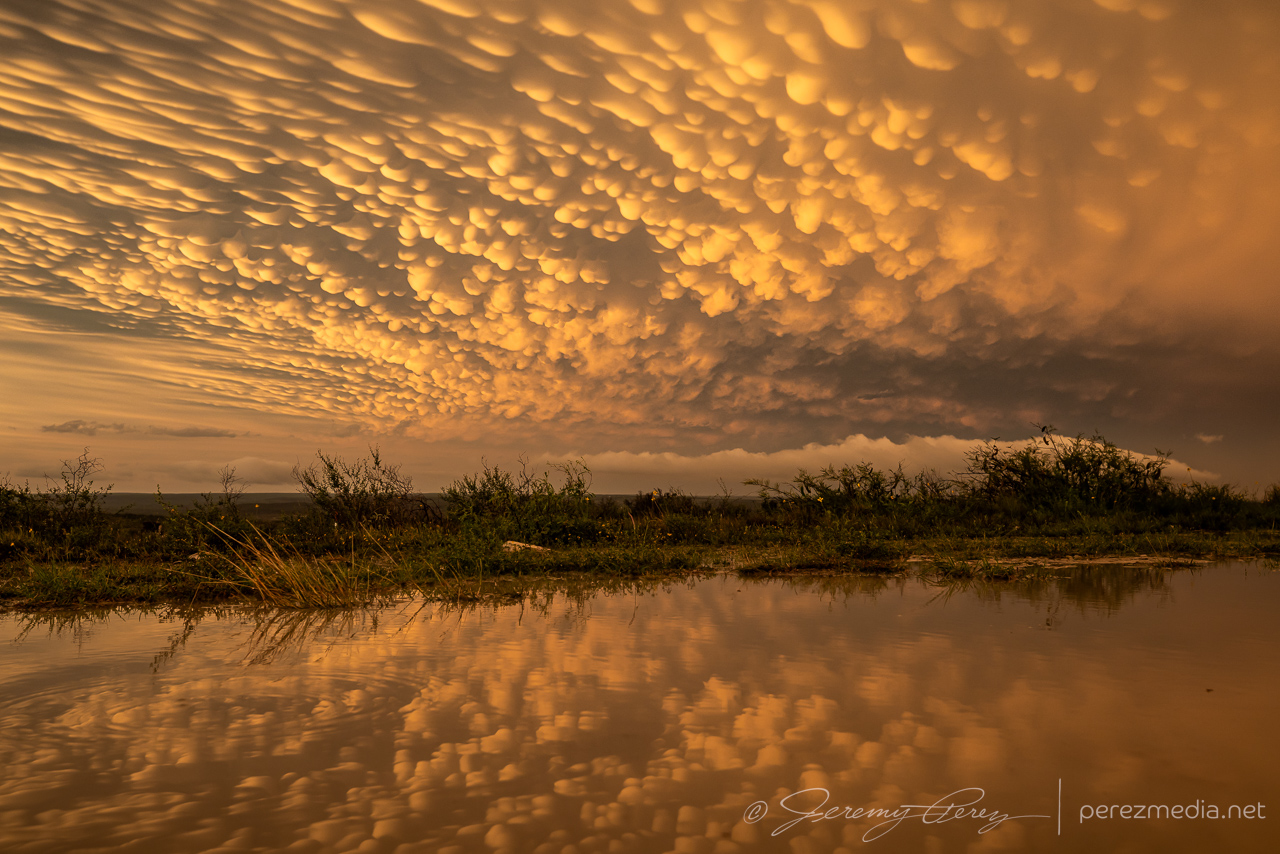
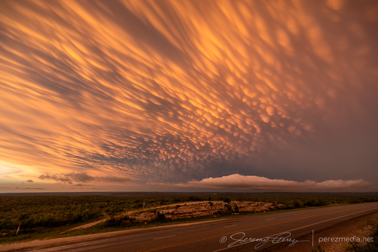
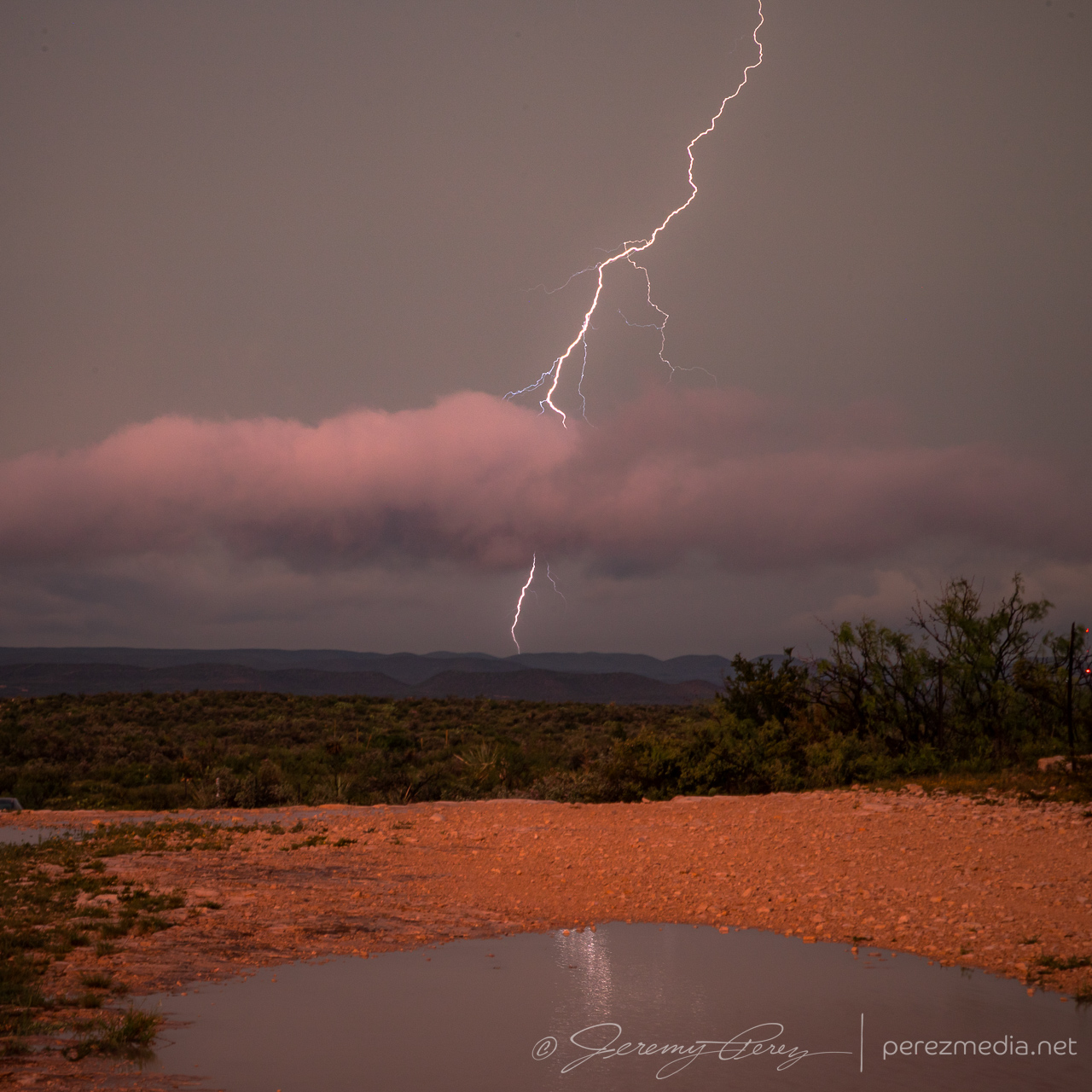
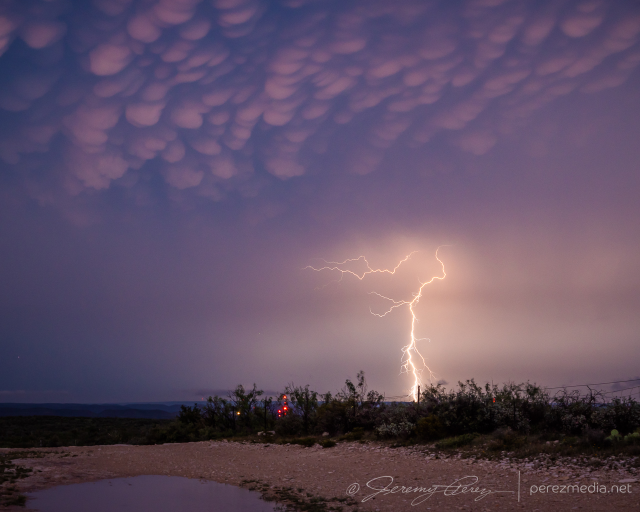
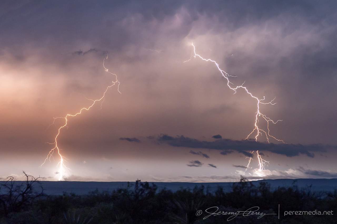
That mental drama aside, the sunset show was gorgeous. Kelvin-Helmhotz-ey debris clouds, mammatus, updrafts, and cg lightning strikes were lighting up the sky as the storms retreated eastward. And that put the final touch on our 2023 chasecation. 13 days. The longest we’ve done so far.
Community Comments
There are no comments on this post
Want to leave a comment? Join our community → OR Login →