Published on
We woke up on the morning of May 16th to a large moderate risk area that had been issued by the SPC; it included the Red River Valley in Texas, all of Oklahoma and Kansas, as well as Southern Nebraska. Dynamics would be impressive across the entire area, however morning convection had us concerned about whether northern portions would be able to destabilize and meet the day’s potential. Because we had spent the previous night in North Platte and would have to seriously race to get to the southern target in time, we had to make a quick and decisive call as to whether or not this was how we wanted to play it. After analyzing and discussing, we committed to blasting south, setting our sights on Shamrock initially, with the option of continuing south toward Childress.
As we reached our target area by mid-afternoon, we were disappointed that storms seemed to be trending toward a more linear storm mode. Our best chance for a good tornadic storm would lie with the southernmost storm or storms that we hoped would form below the line, so we continued south and then east to get into position. As we blasted along a very(!) questionable dirt road toward the small town of Elmer, we saw that tops on our Tail End Charlie storm were exploding and it was developing an impressive hook on radar. We finally got out ahead of the storm and parked in the lot of the Elmer General Store at the intersection of E1750 Rd and HWY 283 to watch it approach.
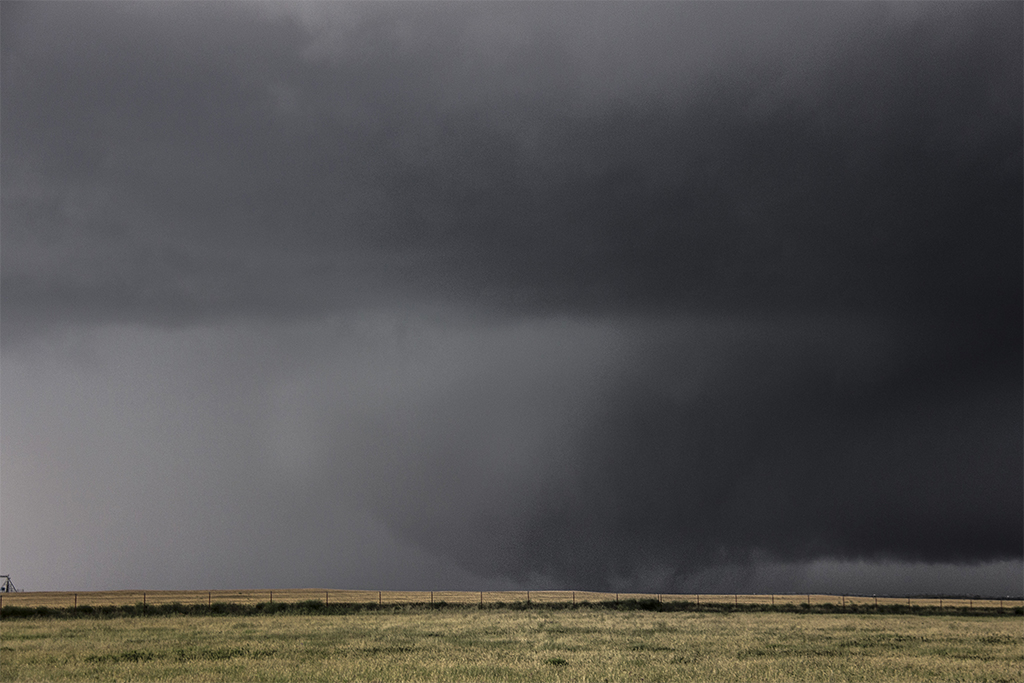
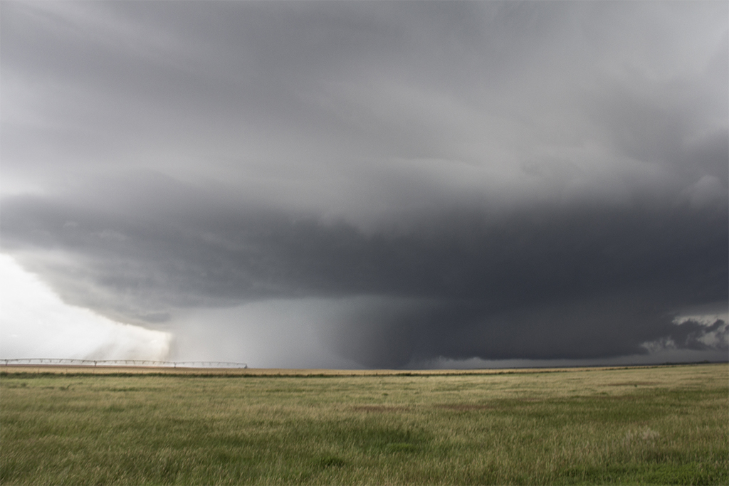
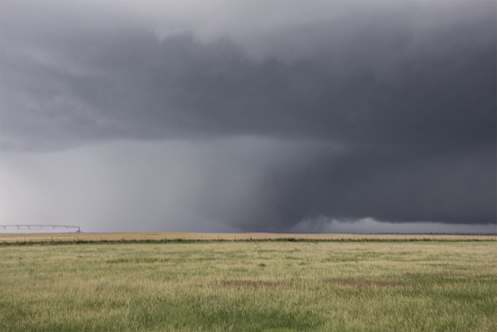
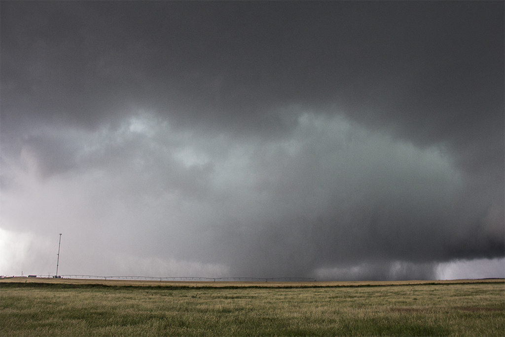
The supercell had incredible structure, a massive striated updraft with low and mid-level banding. We watched as the precip whipped around the meso, and then as a large cone lowering developed deep within the rain. Within minutes the cone morphed into a massive rotating bowl, and touched down as a violent multiple-vortex tornado. The tornado was huge, probably the largest that I have ever witnessed, and it became a wedge as it raced towards us from the southwest.
We waited a few minutes too late to start moving out of the tornado’s path and then encountered other chasers blocking the exit from the parking lot. When we were able to get around and begin racing north toward HWY 5 that we would take east to get out of the tornado’s path and ahead of it, it was probably only half a mile behind us. We slammed into the forward flank core on the north edge of the bear’s cage and were hit with 80 mph winds and softball-sized hail. Battling the wind buffeting the van, I turned onto HWY 5 as the windshield began shattering and one of the back windows exploded inward. I gunned it east, out of the hail and past the bear’s cage, where we had several more views of the tornado as it narrowly missed the town of Tipton before dissipating southwest of Snyder.
Despite the shattered and broken glass, we saw that a new storm was approaching from the south, so we made our way to the town of Walters to intercept. North of town, we watched the storm wrap up and produce our second tornado of the day. Initially it was a multi-vortex, but then became a stout cone as it strengthened before disappearing in the rain. By now the sun was setting and we decided to call it a day, bringing to an end what was probably the most intense and dramatic chase of my life!


Community Comments
There are no comments on this post
Want to leave a comment? Join our community → OR Login →