Published on
July 10th was a fun but challenging chase day.That morning I looked at the models and, initially, a triangle between Woodstock, Norwich and Brantford stood out to me as a potential target area by early to mid afternoon. CAPE values were very respectable, forecast to approach 3000 all across that region. Best helicity values looked to be there too, east of a line from Simcoe to Brantford to Guelph, as did EHI values (though they were still relatively modest). I figured that the best chance for storms to rotate in Southern Ontario would be if they could develop, mature and then move into those better dynamics to the east.
I decided to aim to be in Brantford by 1:30 pm, then reassess the situation and likely continue heading west on the 401 from there.By the time I reached Brantford, visible satellite was showing an agitated CU field further to the west, so I continued in that direction. Indeed, as I passed London, a storm began to explode to the east of Grand Bend, so I travelled north to intercept it as it approached Exeter.
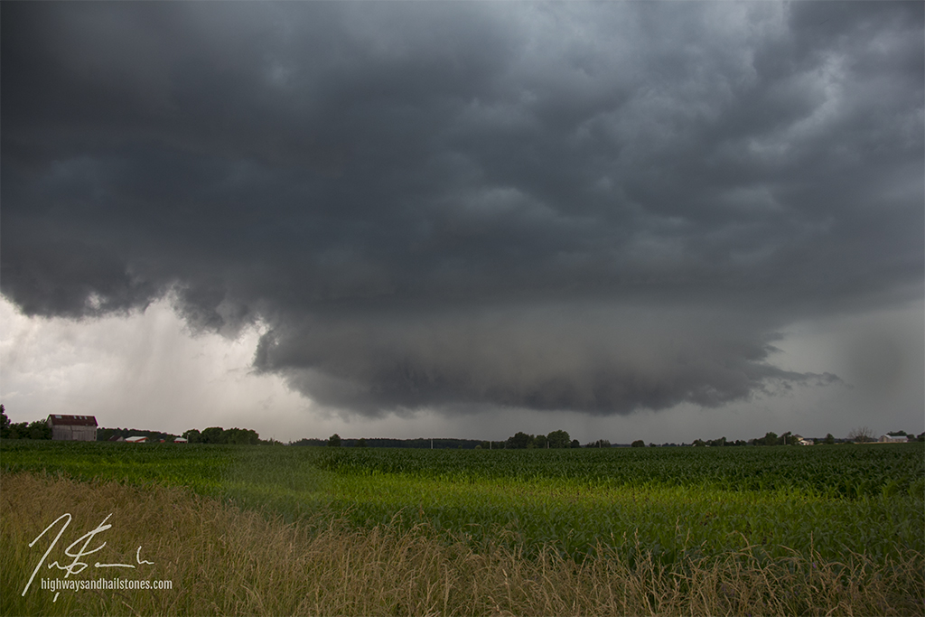
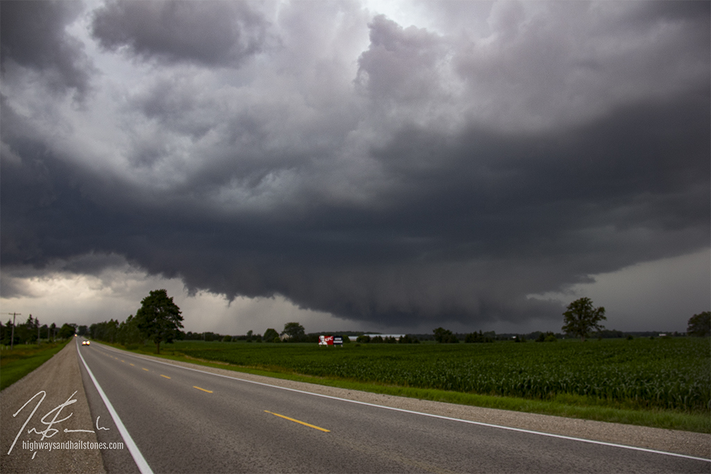
The storm had very pretty structure with a clearly rotating wall cloud early on in it’s lifecycle, but became extremely HP as it made its way toward St Mary’s and Woodstock. My radar was going in and out and so I can’t be sure, but at some point – I think west-northwest of St Mary’s – it looked to me like the main cell opened up a second core to its south. At this point I became caught in the heavy precip of the southern core but still had a decent view to the northern one. For several minutes, heavily rainwrapped, I watched a persistent lowering and what I think may have been a funnel cloud. The feature was low, tapered and, as mentioned, persistent. I snapped a few photos, however the two cores quickly merged and I lost it in the rain. I dropped south and had some more nice photo ops as the storm approached Woodstock.


Community Comments
There are no comments on this post
Want to leave a comment? Join our community → OR Login →