

Published on
It’s a special storm chase day when you experience a storm from its inception, right up until it is a prolific tornado-producing supercell. That was our day on April 13, 2026, and this was that updraft.
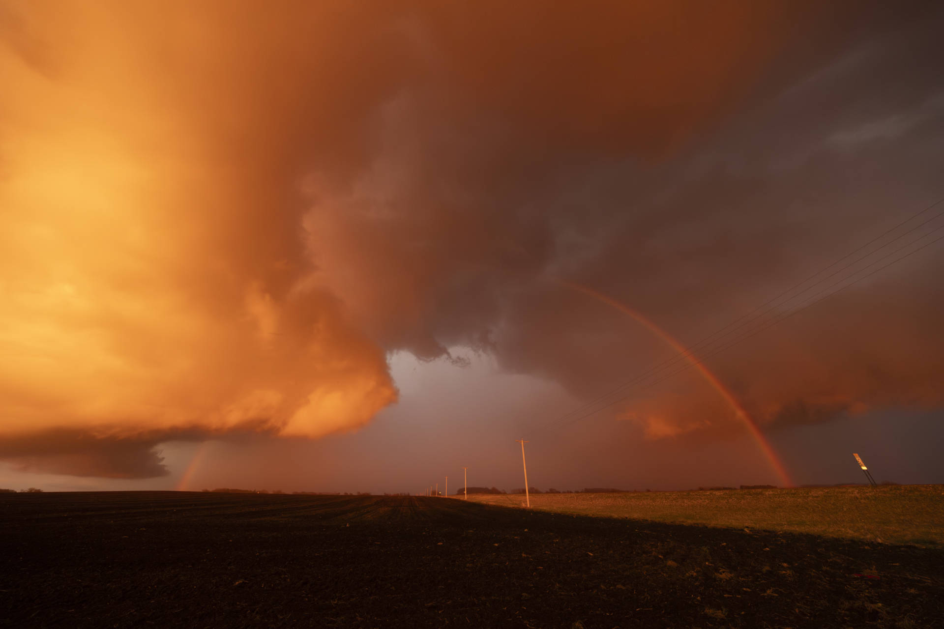
Our storm pulsed up and down for some time before it was able to truly take off as a dominant supercell. When it did, above, it quickly got The Look.
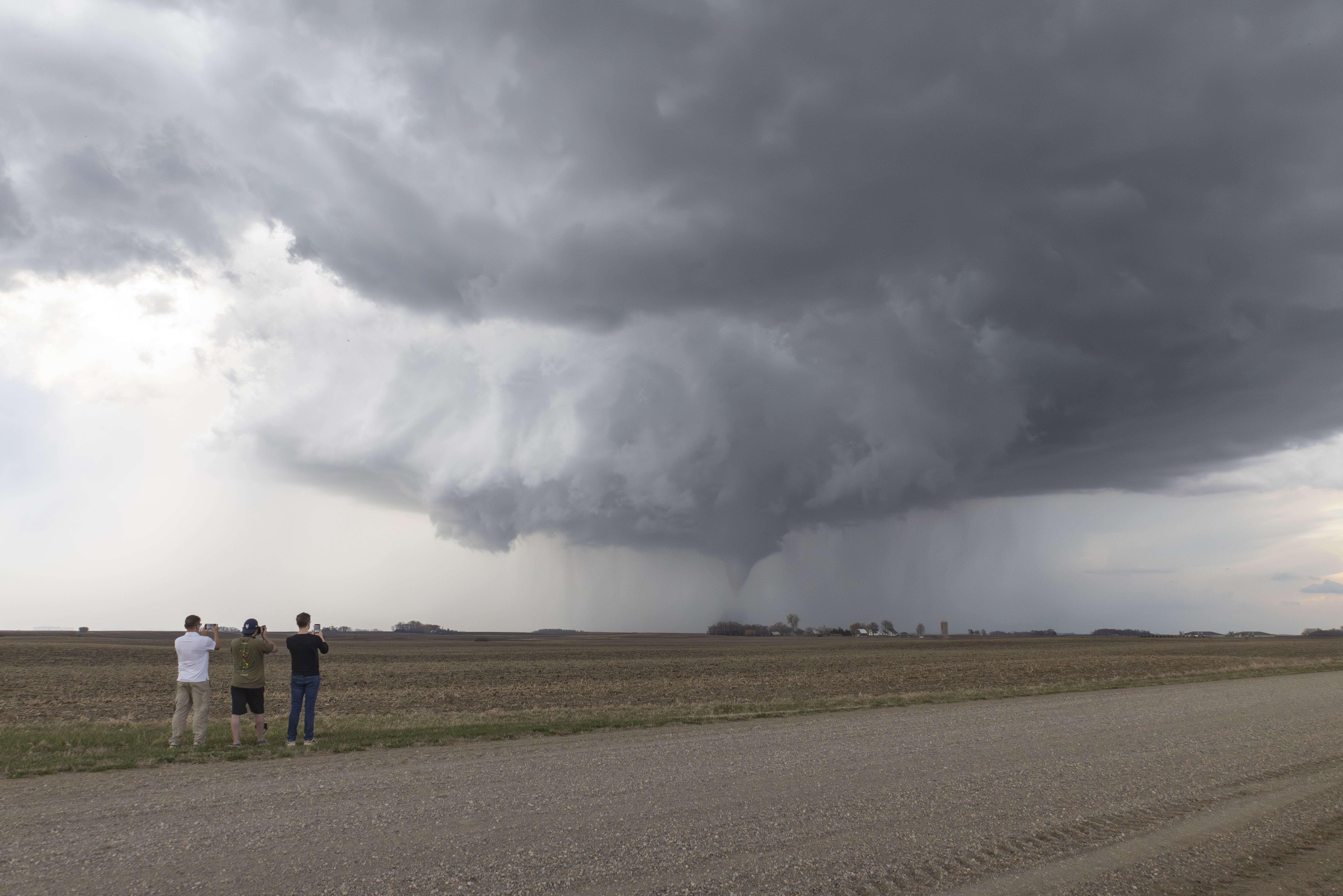
Above, shortly after spotting dust whirls while positioning closer to the circulation, we pulled over to witness this incredible scene. RFD wrapped an emerald-green hail core around the ongoing tornado—a gorgeous bowl-shaped funnel with a dusty debris cloud spinning beneath.
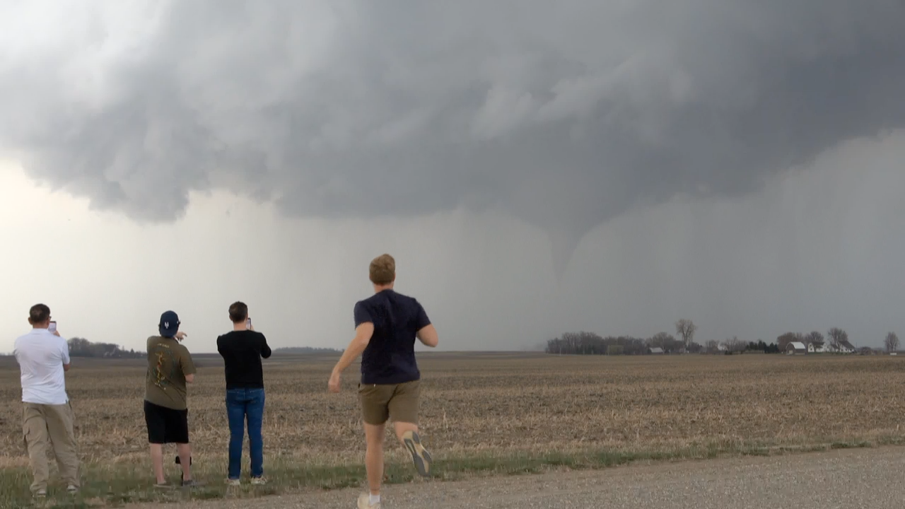
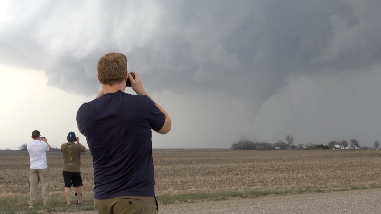
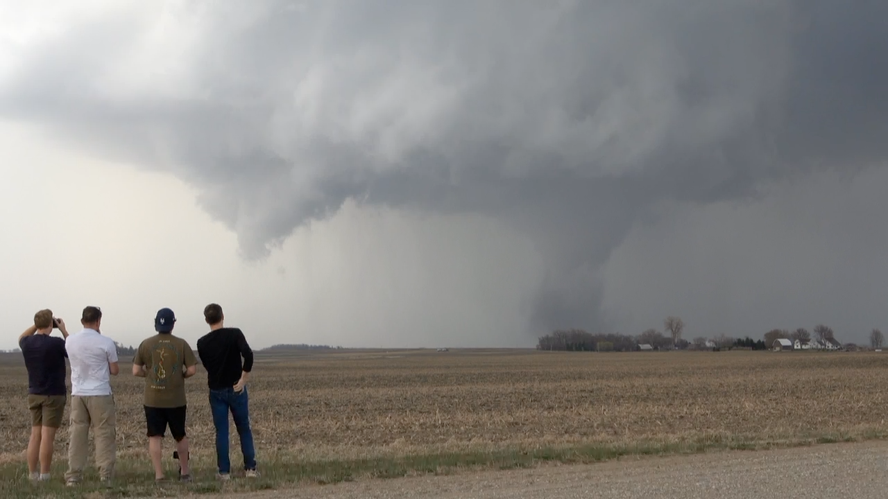
Above, the tornado had been ongoing for 5-10 minutes as a dusty ground circulation beneath a carousel base. RFD wrapped the uncondensed tornado and—just like that—a cone developed and condensed to the ground. For the next ten minutes or so, we watched the tornado morph from a gorgeous cone to a stout and dusty stovepipe over the open fields near Truman, Minnesota.
Community Comments
There are no comments on this post
Want to leave a comment? Join our community → OR Login →