Published on
May 10, 2014, had tornadic potential along the warm front draped over Northern Missouri, however marginal CAPE looked as though it might hinder storms’ potential. I was out with Silver Lining Tours, and we headed toward the Kansas City area which was our chase target. Roger had been eying this setup for a few days even though the SPC didn’t highlight the region for a notable severe risk until that morning.
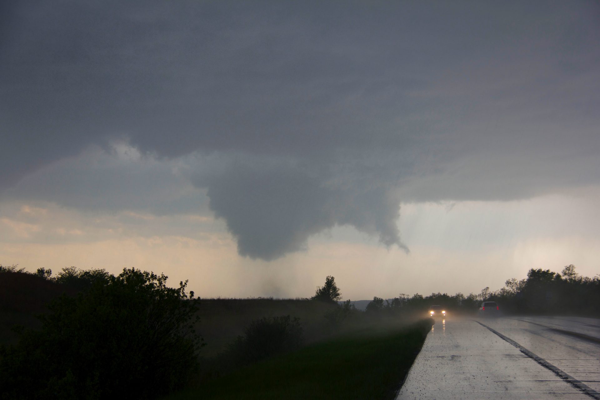
As we reached the city storms began to fire, and we zeroed in on one that was exploding on the east side of the metro. The storm’s base was quite elevated on account of the high temp-dewpoint spread, but it continued to become better organized and soon developed a tight but notable blocky lowering. We raced toward it and positioned in time to watch the updraft wrap around the lowering and a funnel develop. A swirl of debris went up and we had a tornado on the ground!
The funnel wasn’t able to condense fully to the ground, but the dusty debris cloud at its base continued to get wider and wider, probably hundreds of metres across.
We continued forward toward the tornado and let it cross the roadway just ahead of our position. The massive debris swirl passed, and we watched as it moved away from us. Unfortunately, the tornado was on a direct course for the town of Orrick, but it was not until later that we learned of its direct strike on the town.
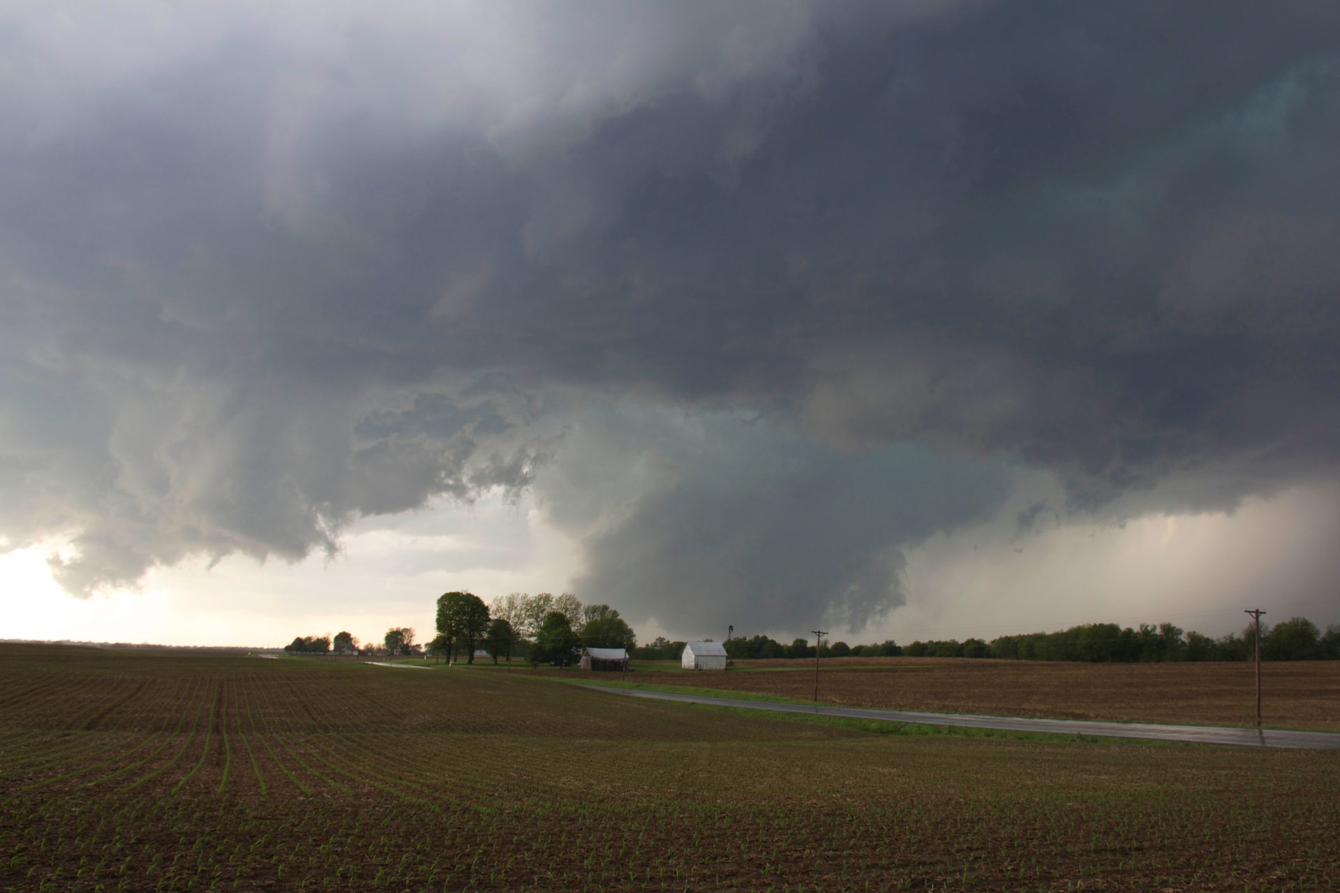
Following the tornado we continued with the storm to near the town of Lexington where we were treated to some incredible storm structure and another brief tornado.
This was an exciting and successful chase day but also a scenario that you never wish for; a tornado in a populated area, impacting peoples’ lives. A few weeks later, when I was in the area on another chase with Mike and Mary Jane, we took a drive through the town and witnessed with sadness the EF2 damage through town.


Community Comments
There are no comments on this post
Want to leave a comment? Join our community → OR Login →