Published on
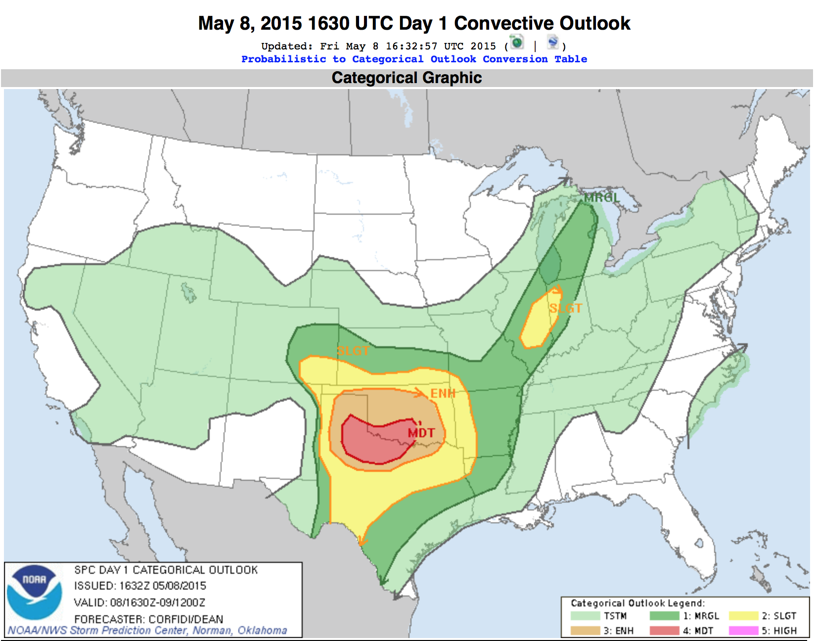
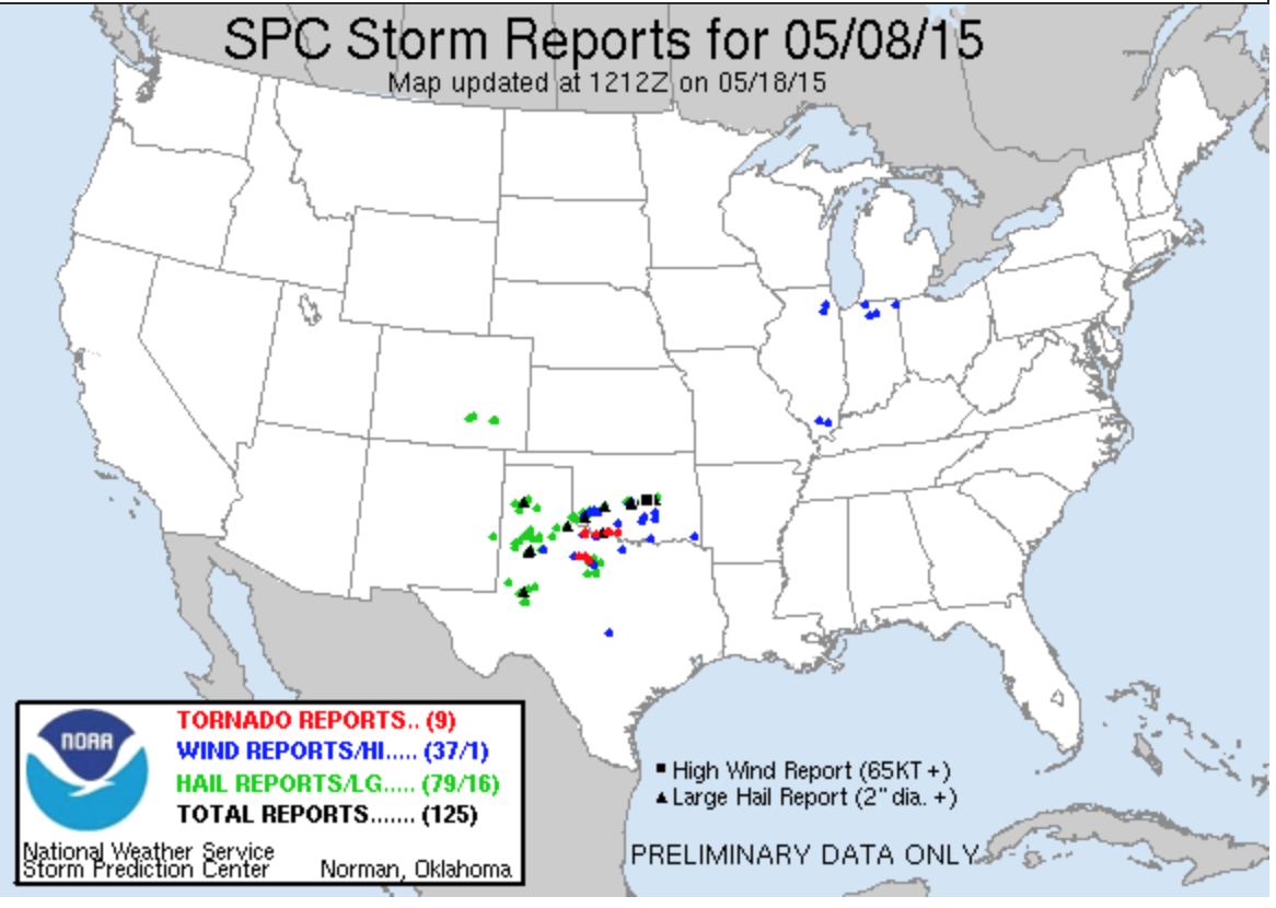
Following a somewhat frustrating chase on May 6, we were bound and determined to kick ass on May 8! We woke up to a moderate risk area issued by the SPC for portions of Oklahoma and Texas on either side of the Red River. It included a 10% risk area for tornadoes.
Despite the favourable forecast for severe, we knew that this wouldn’t be an easy chase; while supercells and tornadoes appeared likely, we were expecting numerous storms in a highly saturated environment, and high precip modes appeared likely. An outflow boundary spread from the Texas Panhandle southeastward into North Central Texas and we decided to target north of the Abilene area.
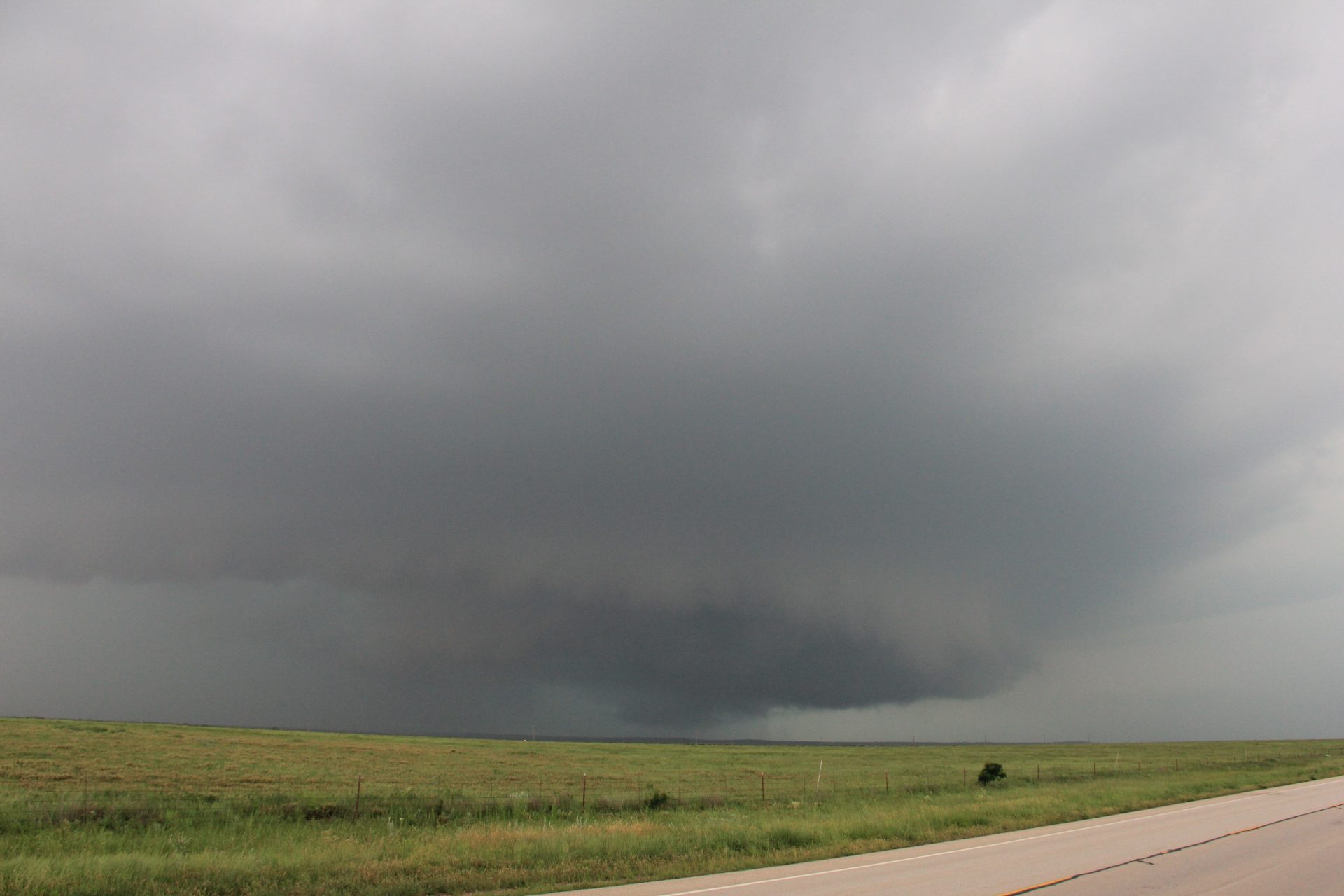
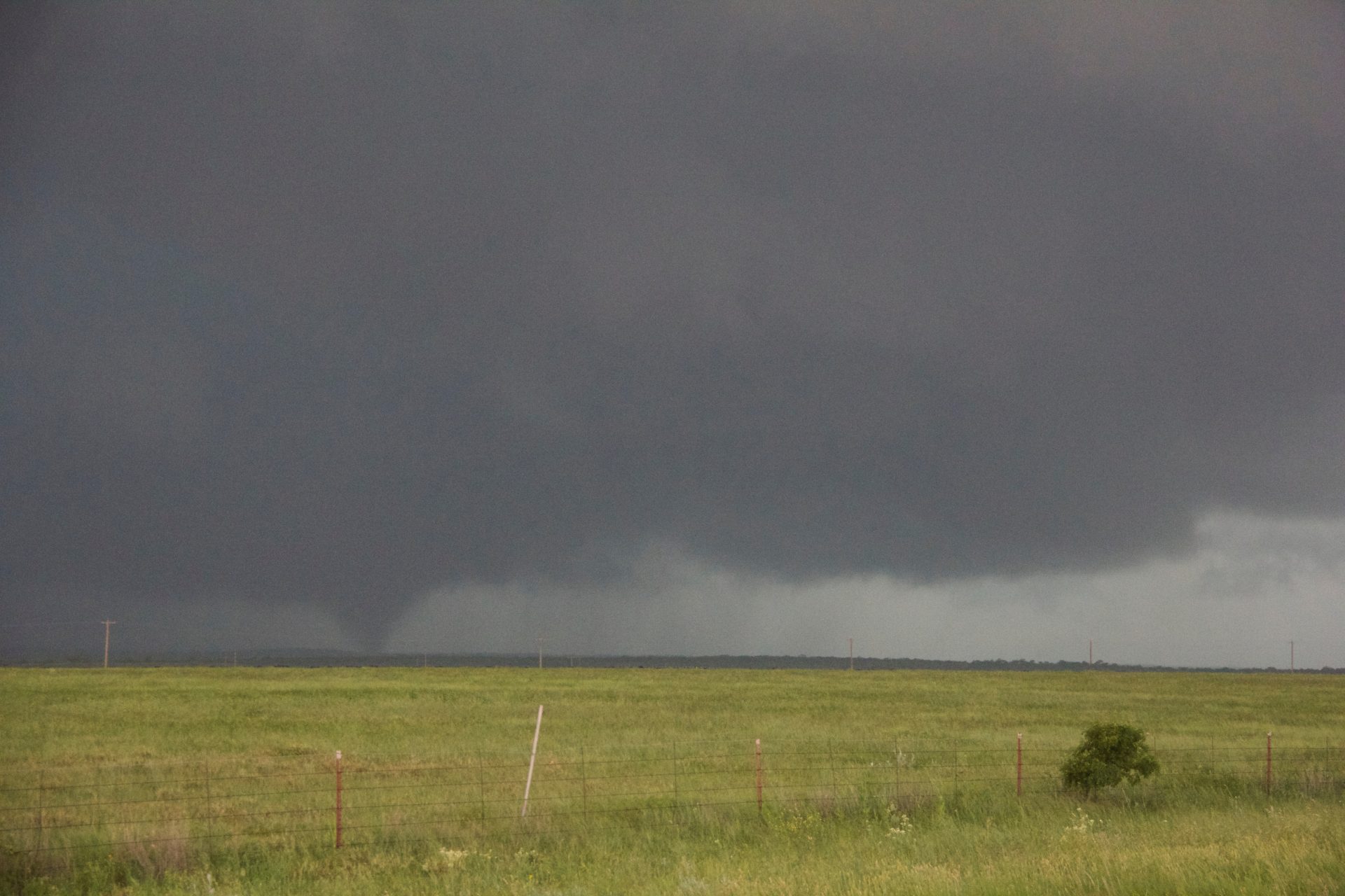
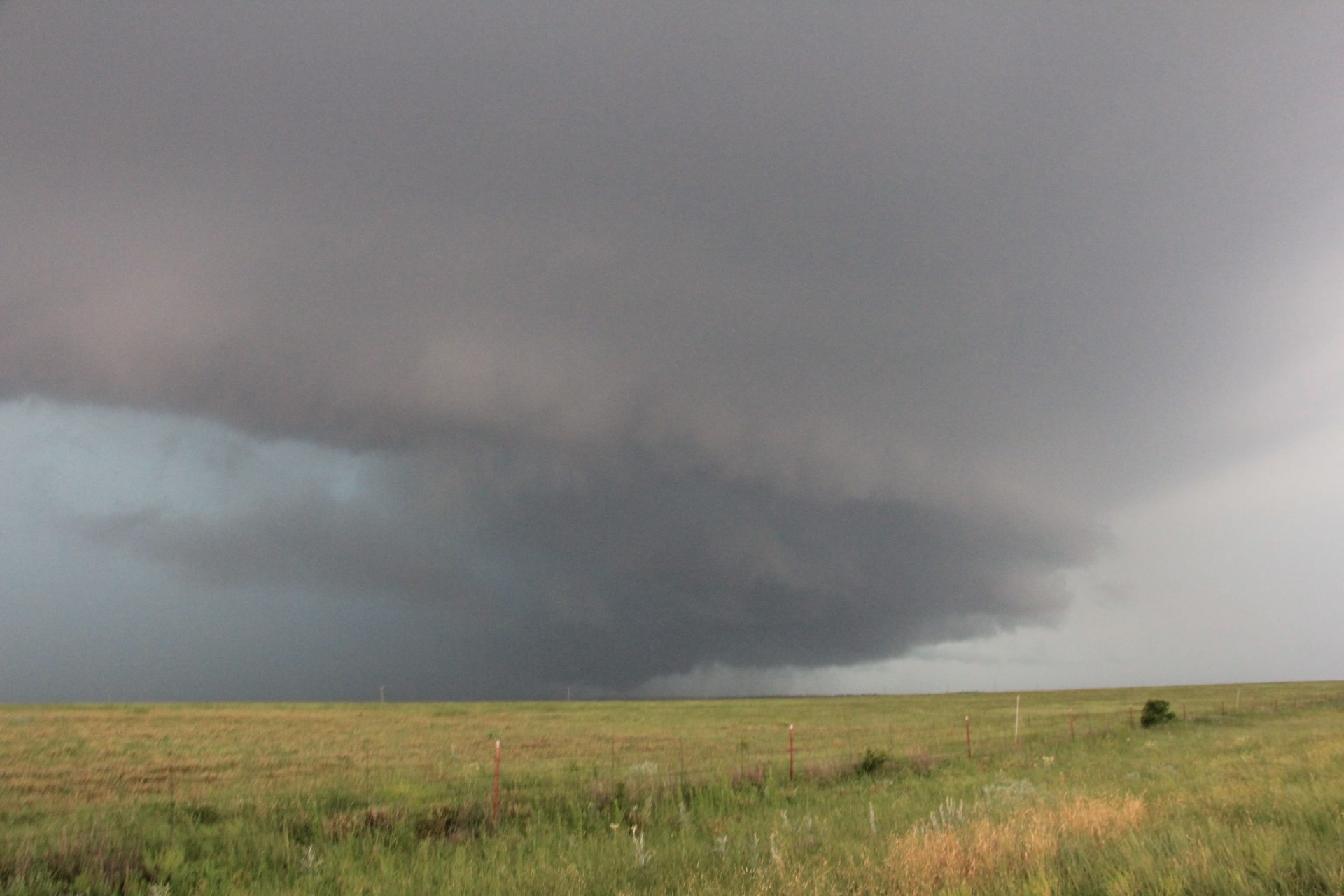
As storms began to fire along the boundary, we picked up on a dominant cell that exploded upward near Abilene. It became a beastly HP supercell that barrelled its way toward Throckmorton. Just north of town we raced directly into the notch and were perfectly positioned as a multi-vortex / cone tornado touched down.
The base of the storm was incredibly low and cloud motion was intense. The tornado was visible for about five minutes, oscillating in form between a single cone, a multiple vortex and a broad bowl. The tornado sirens were wailing. I was concerned that this might become a violent tornado and big trouble for the town. Fortunately this was not to be; it wrapped in rain and dissipated before reaching Throckmorton.
As it turned out, we lucked out in finding a needle-in-the-hay-stack; only a handful of rain-wrapped tornadoes ended up touching on this day, and several other chasers on our storm did not even catch the tornado which was only visible from a position directly in the notch. It was far from the best chase day of 2015, but given how the day unfolded with messy storms and few tornadoes, we were very successful all the same.


Community Comments
There are no comments on this post
Want to leave a comment? Join our community → OR Login →