Published on
April 22 2015 was a chase of opportunity in the Texas Panhandle. A business meeting the next day in southwest Kansas meant that we could fly into Dallas on the morning of the 22nd, chase the Panhandle that evening, and then wake up and head north our meeting the following morning.
SPC issued an enhanced risk for severe, including a 5% tornado risk that covered all of north Texas and the southern Panhandle. Once we landed, we hopped in a rental car and I took a quick look at models; I set an initial target of Seymour, but adjusted this further to Childress and then Amarillo as we hauled toward the Panhandle. Reaching Childress, storms were beginning to fire near Hereford and were racing eastward, so I decided that we would try drop south from the town of Claude to let the storm approach us from the west.
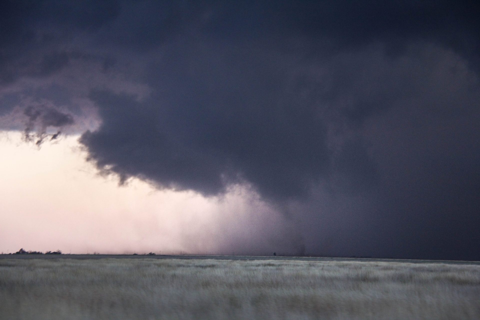
By now the storm was a supercell and we intercepted in on the west side of Happy. Inflow was pleasantly surprising, screaming into the storm at speeds much faster than I expected on this day. A large blocky wall cloud evolved into a much more compact, bowl-shaped lowering that – for a few minutes – I thought might put down a tube. This was not to be; the storm began to transition into an HP beast, and we blasted east to stay ahead of it as it pummelled Happy with tennis ball sized hail.
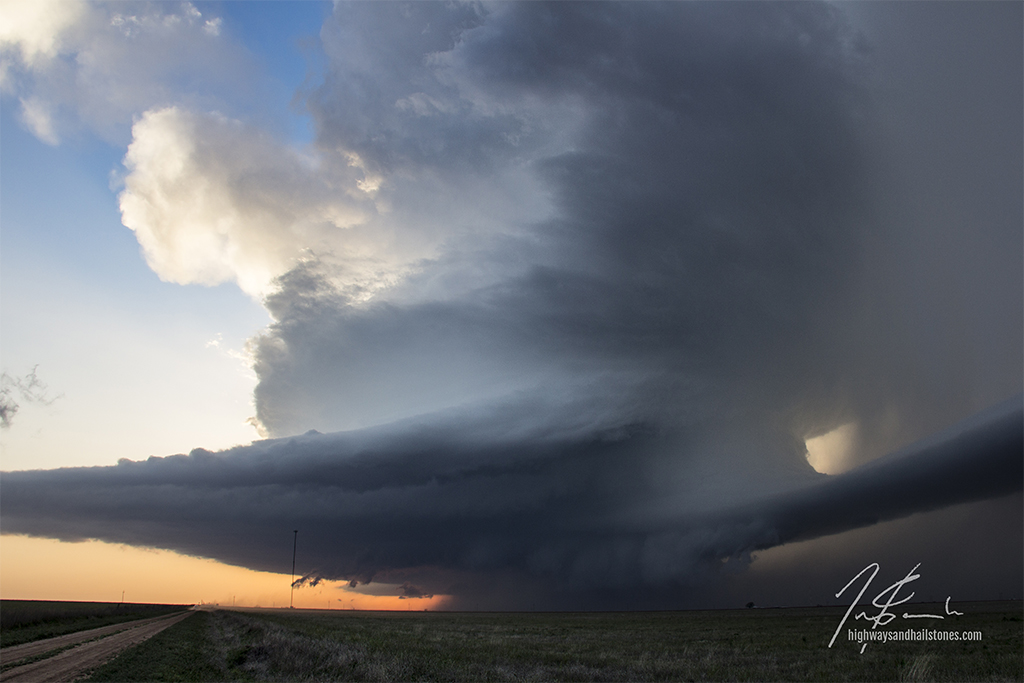
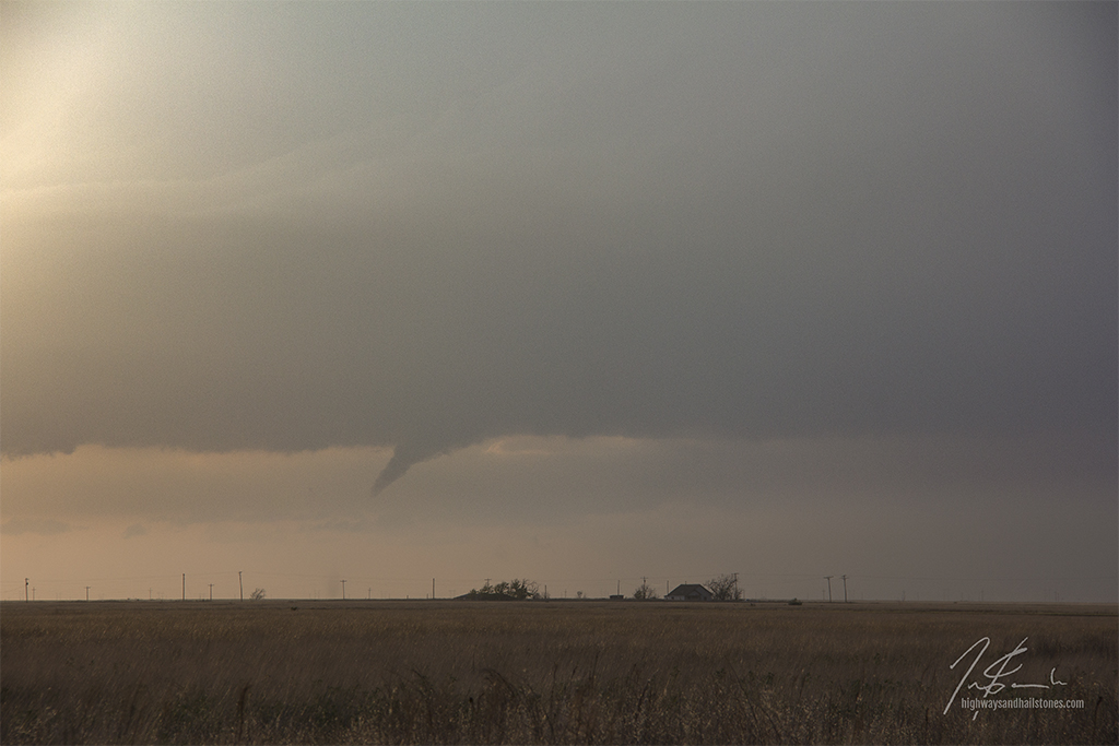
The storm of the day turned out not to be this storm, but rather one which blew up behind it to the southwest of Lockney. This new storm exploded upward and, seemingly within minutes, became a beautifully structured supercell. We dropped to Floydada to let the storm approach, watching from a distance as it developed a small lowering that would soon tighten up and briefly touch down. Within minutes the funnel dissipated, however the storm approached with some of the most stunning structure I have ever seen, complete with a striated barber pole updraft, a massive beaver tail, and a fiery setting sun.
Just west of town, the storm developed a concentrated area of rotation with a dust whirl below. The storm was filled with gustnadoes, however this did appear to be a true tornado that was on the ground for about two minutes. Other chasers reported this as a tornado. Given the tight and upright dust column, along with its location beneath an apparent RFD cut and funnel cloud, I believe this probably was true. We drove south to get out of its path.
Soon after the storm became undercut and began to dissipate, so we called off the chase and made our way to Lubbock for the night. Despite not being a major tornado producer (I was hoping for a little more Panhandle magic), this was probably my favorite Texas chase to date!


Community Comments
There are no comments on this post
Want to leave a comment? Join our community → OR Login →