TORNADOFEST near Strong City KS!!

Published on

Walton, KS 01:18 PM
Abilene, KS 04:33 PM
Hope, KS 05:21 PM
Hope, KS 05:21 PM
Durham, KS 05:33 PM
Durham, KS 05:33 PM
Hillsboro, KS 05:48 PM
Marion, KS 05:49 PM dust being kicked up
Cottonwood Falls, KS 07:23 PM
Matfield Green, KS 07:33 PM
07:33 PM #kswx Matfield KS
Matfield Green, KS 07:33 PM #kswx
The first funnels / possible tornado(es) were slender needles that darted up and down beneath the amazing vault of the storm.
Matfield Green, KS 07:33 PM @NWSWichita large cone funnel
Matfield Green, KS 07:33 PM @NWSWichita @NWSTopeka #kswx
Tornado near Strong City #kswx shot from north of Matfield Green, KS early this evening. What a storm!!
You could not hope for a more classic representation of a full-scale supercell, complete with tornado.

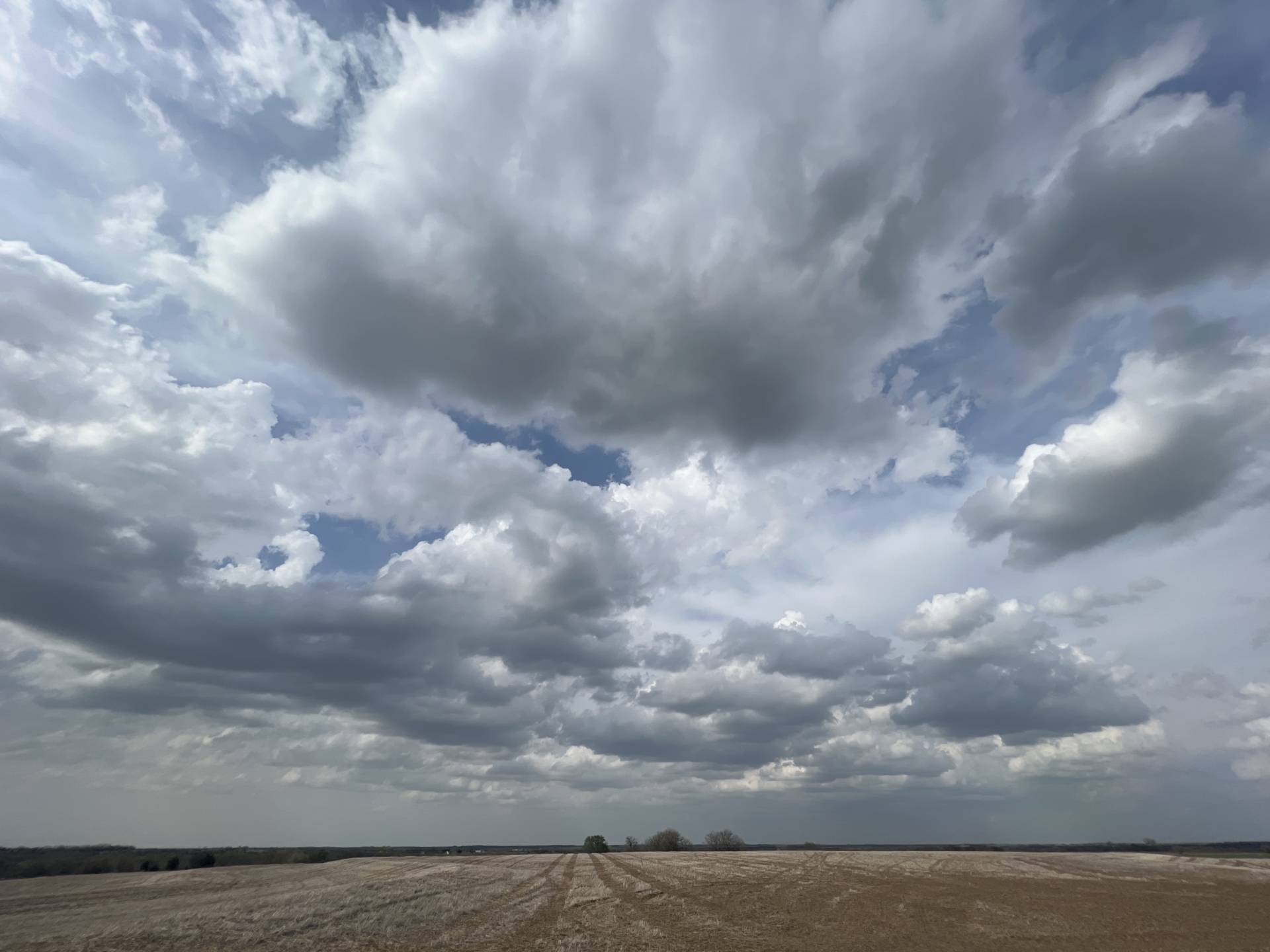
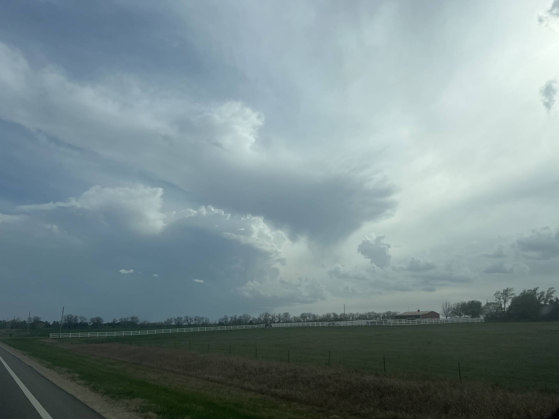
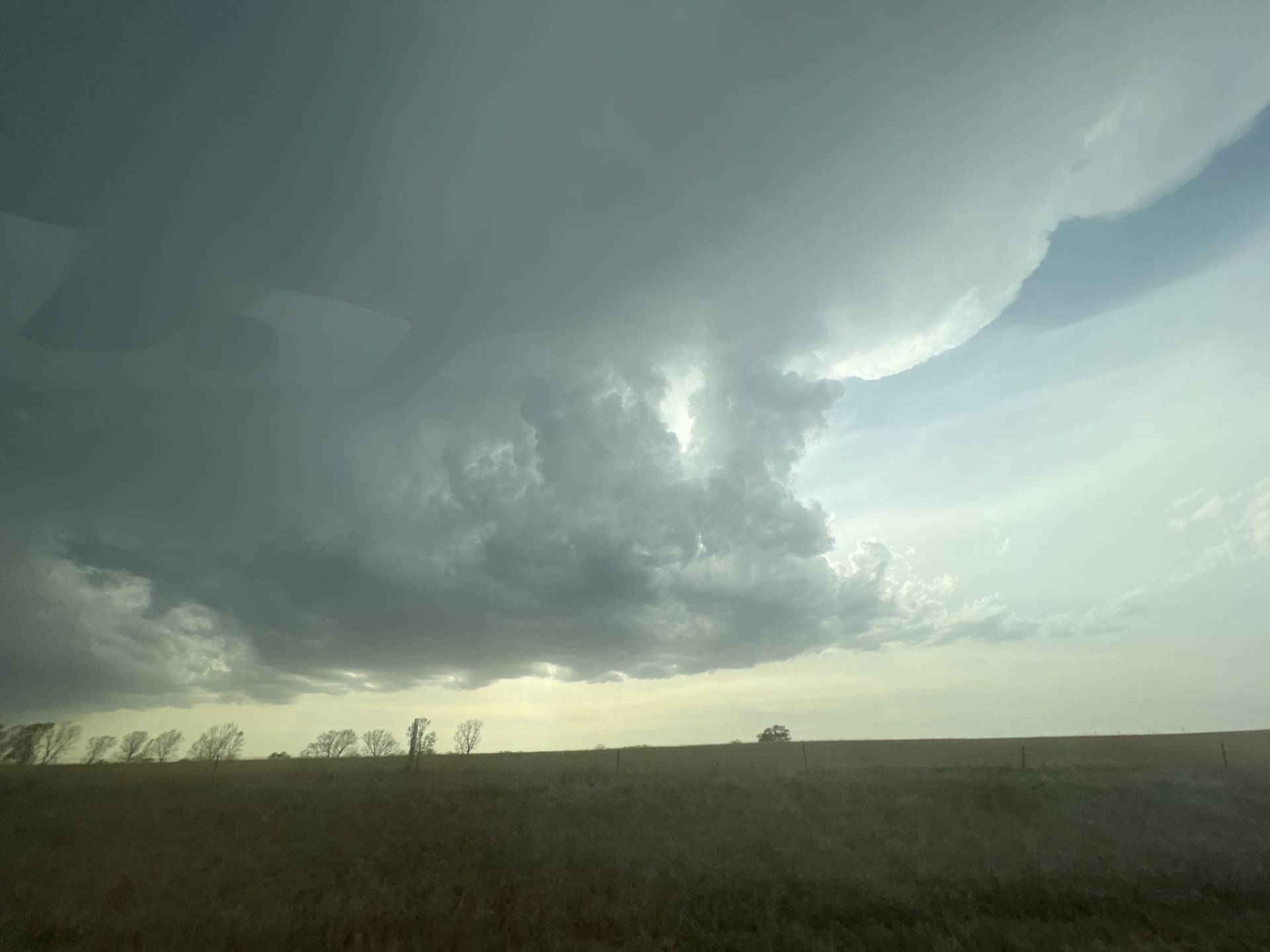
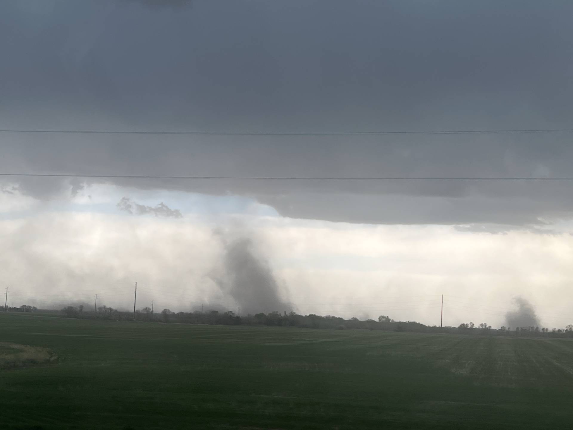
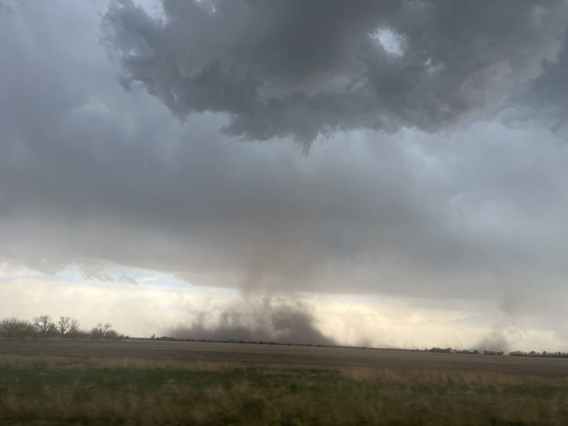
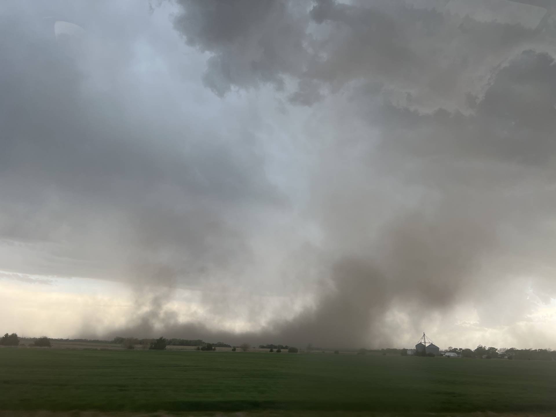
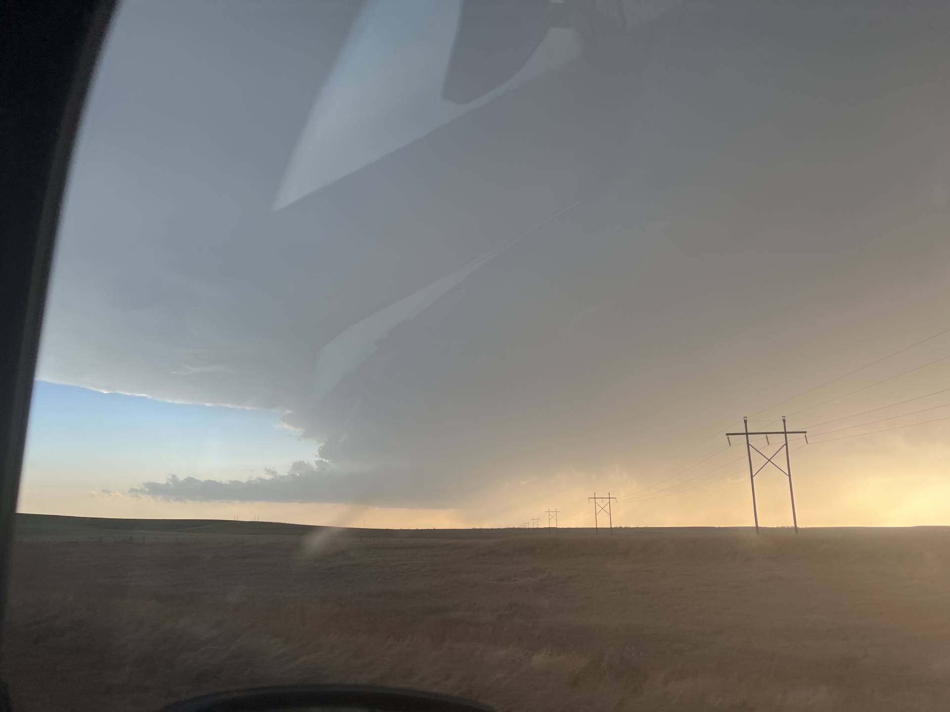
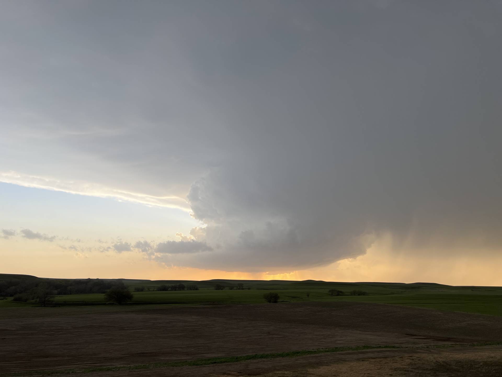
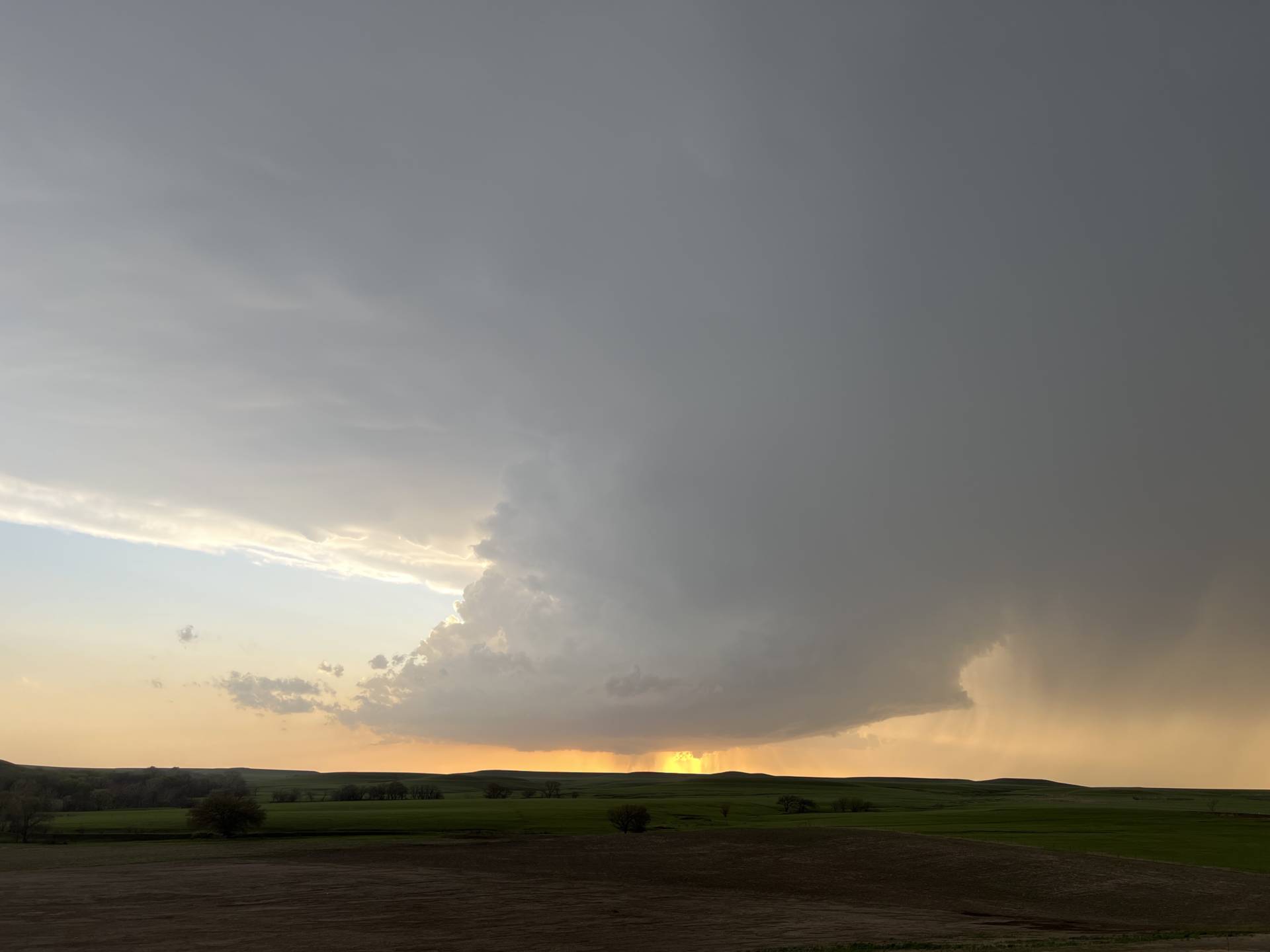
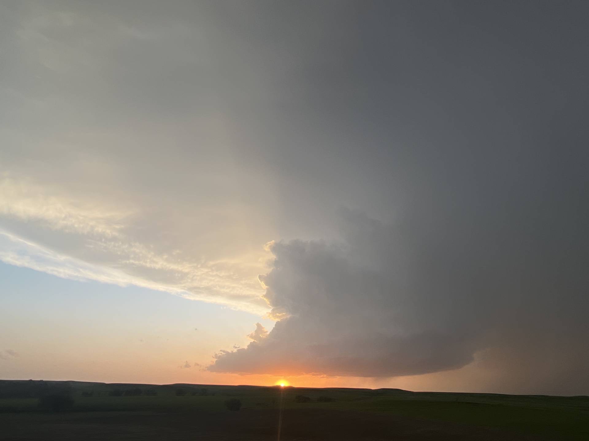
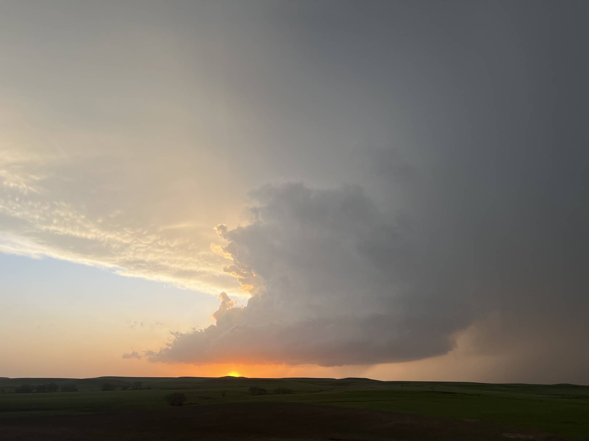
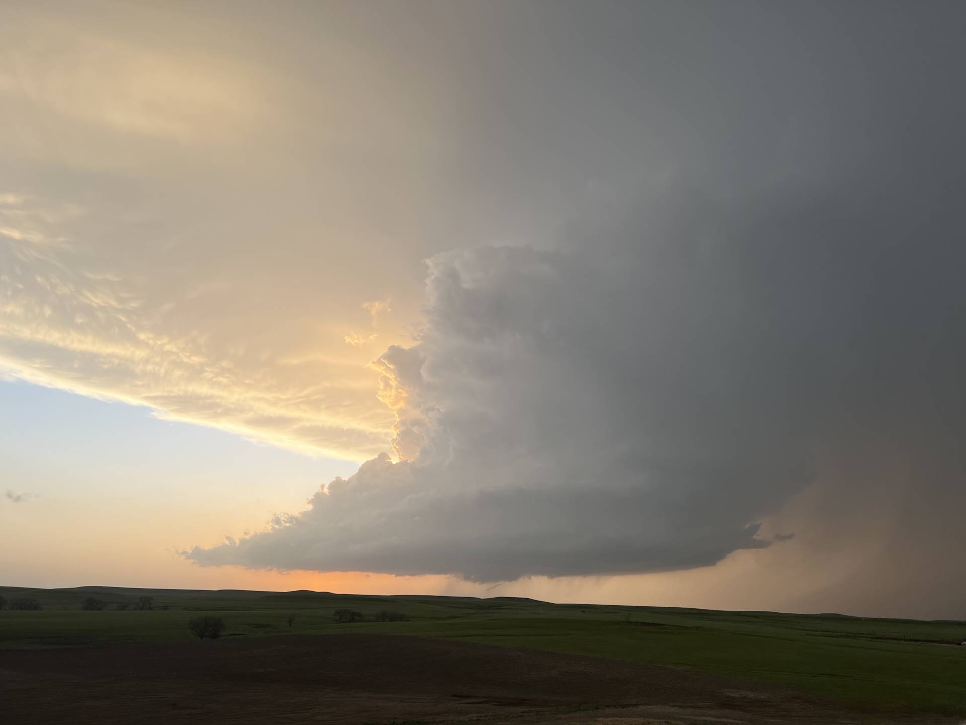
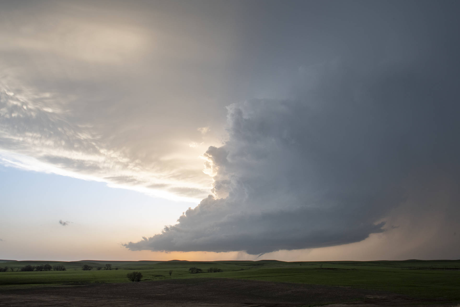
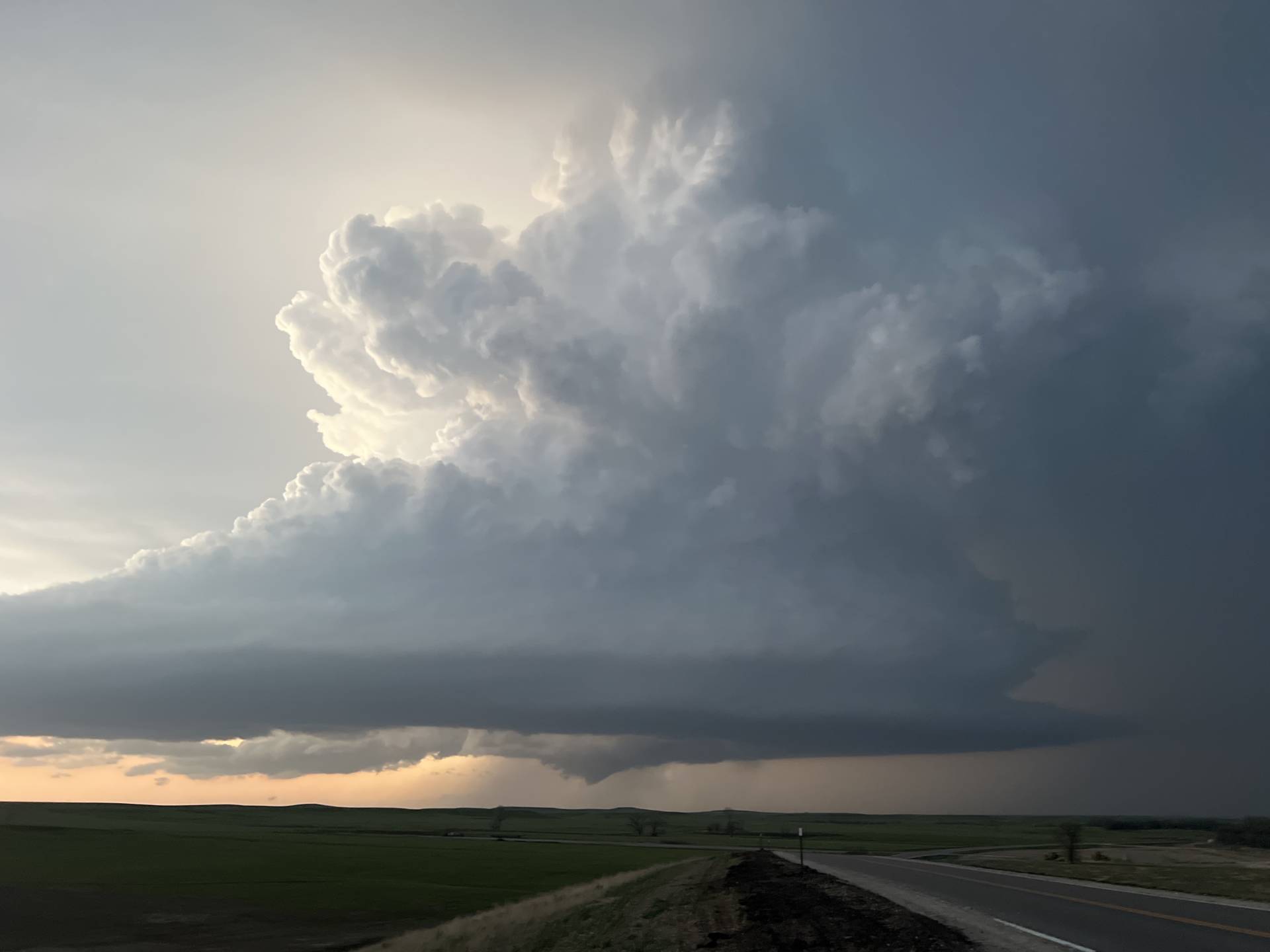
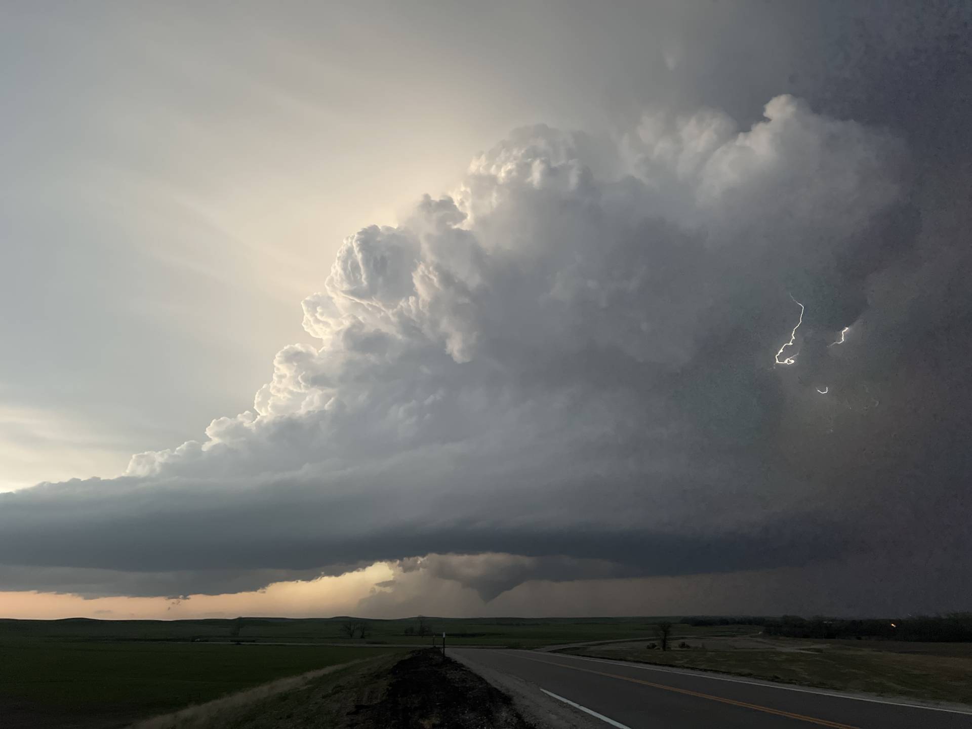
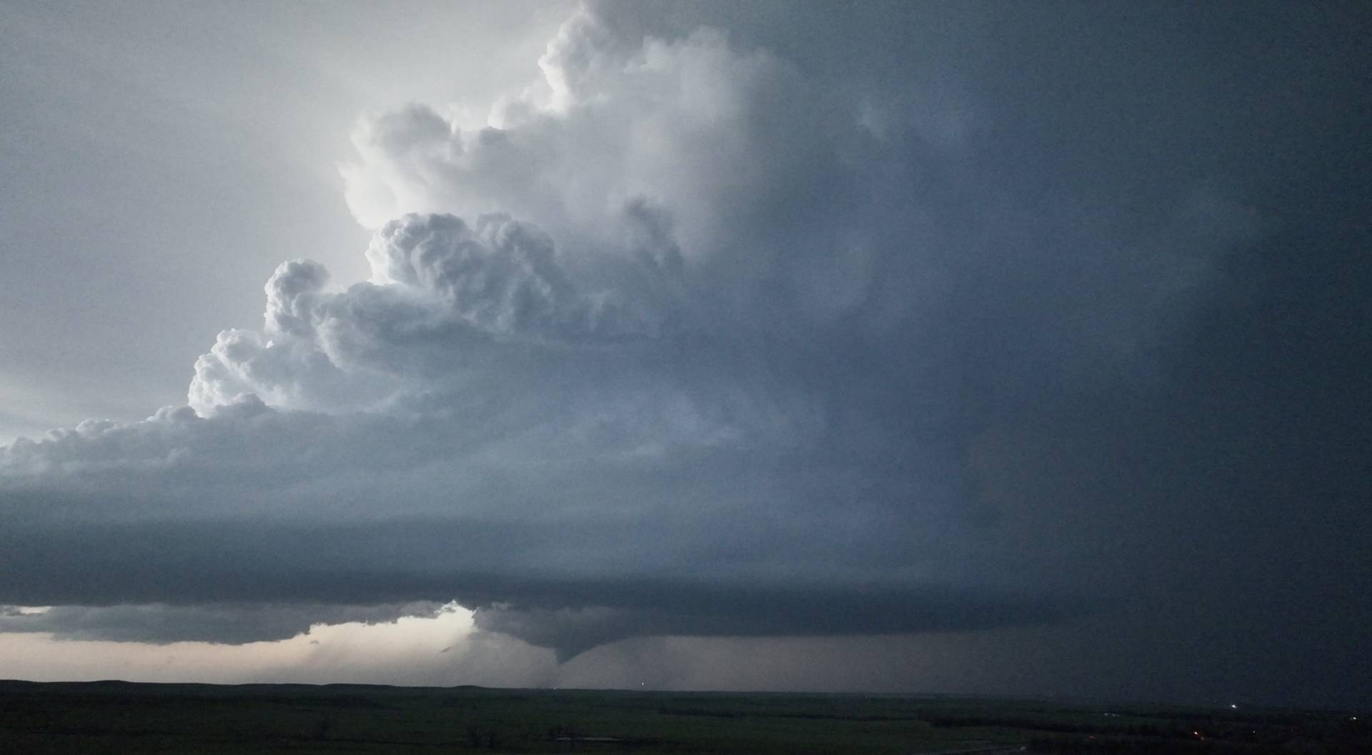
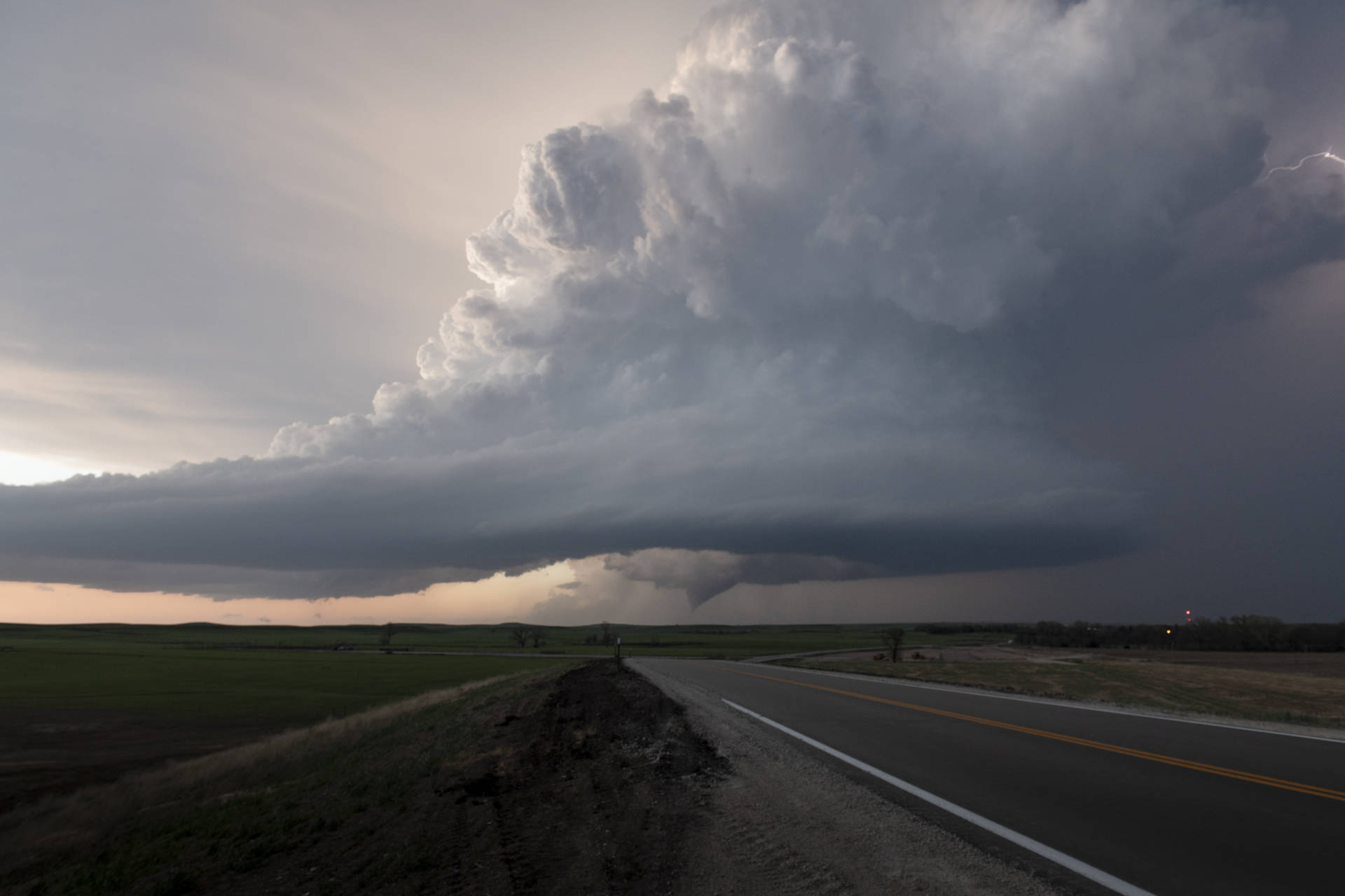
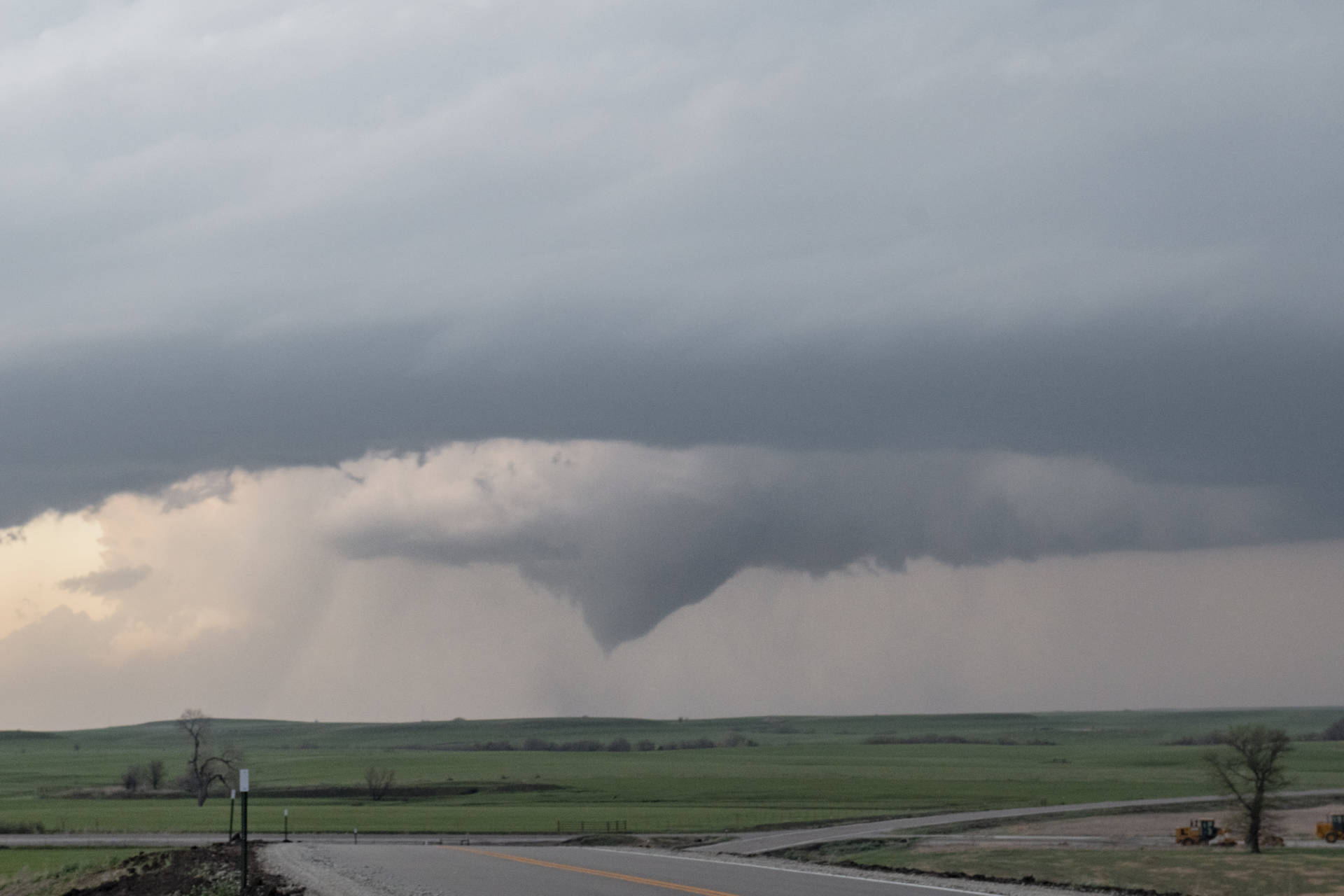
Everything just seemed to come together on this chase. As the day unfolded, I was tempted by the warm front intersection up near Omaha, but I stuck to my instincts instead. I had liked a central or north central Kansas target for a few days, believing that this setup was a prime candidate for a tail-end Charlie storm on the triple point. We staged near Manhattan, then drove south as the triple point storm fired near Newton. A cluster of storms struggled for a few hours, and then the tail-end cell exploded into a tornadic machine. We saw several photogenic funnels and tornadoes, one of which was long-lived and tracked just north of town. This truly was a chase to remember!!!

A zoomed-in shot of the large cone tornado, complete with a debris cloud.
And a short video of the 🌪️ near Strong City #kswx earlier this evening. Faint debris cloud evident ⚡️


Community Comments

Wow!

11m Reply

Such a fun chase! Thanks for the amazing storm forecasting to catch this amazing supercell!

11m Reply

Want to leave a comment? Join our community   OR Login