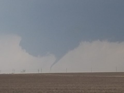
National Centers for Environmental Information reports:
During the initial stages of development, there was DOW data on this tornado. It intensified from 40 meters/second to 90 meters/second in a span of 21 seconds that lasted less than a minute at those velocities. This would have been enough to produce EF5 damage briefly, based on those velocities. As the tornado moved north into a housing addition just west of Dodge City, it showed multiple vortex characteristics and did EF2 Damage. One person was seriously hurt in a home that was heavily damaged. The tornado eventually went north-northwest and crossed into Hodgeman County at 18:12 CST as it turned northeast. As it crossed into Hodgeman County, it tossed a partially filled stock tank to the west, about a mile and an half from the original location in far northern Ford County.
This tornado moved out of Ford County where it had formed southwest of Dodge City. As it crossed into Hodgeman County, it tossed a stock tank (partially filled) 1.5 miles west of the track. Also this tornado turned northeast as it weakened, unlike the previous tornadoes that were turning northwest.


