

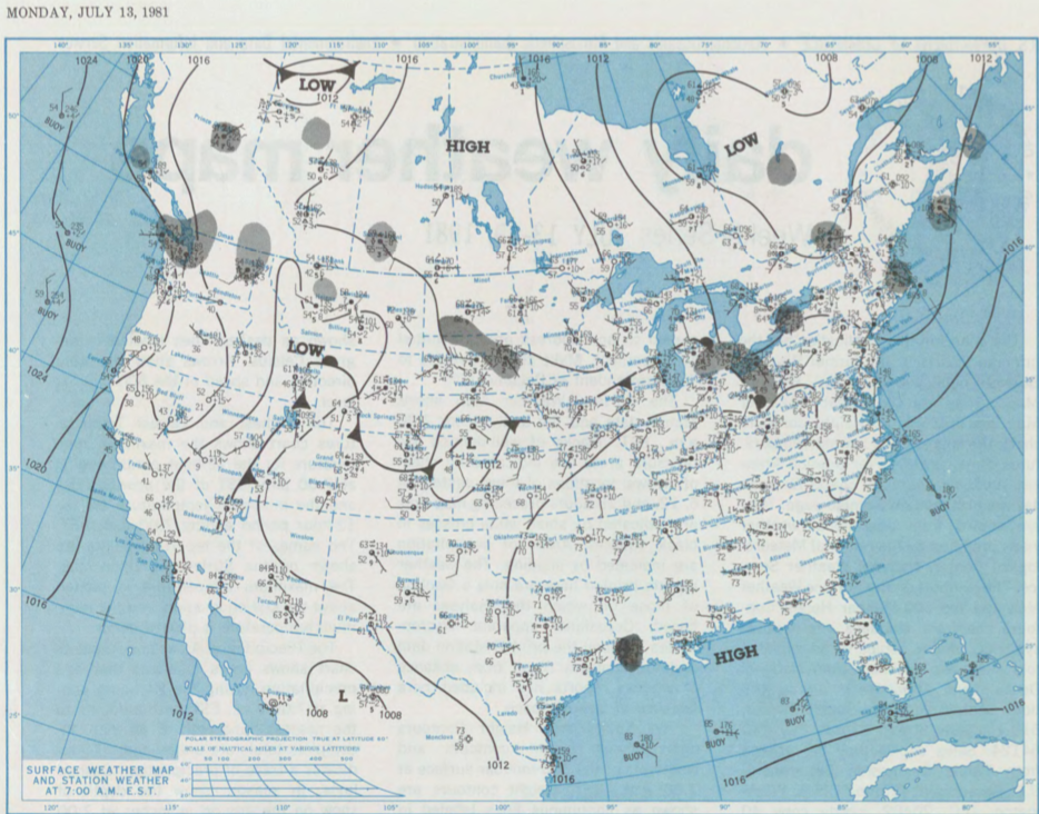
Figure 1 depicts the surface observations at 7:00 am EST, which shows an area of low pressure and a stationary front across Southern Saskatchewan. The interaction between this front and low pressure was likely responsible for triggering thunderstorms across Alberta in the afternoon hours of July 14th, which ultimately resulted in this tornado.
According to Environment and Climate Change Canada (2018), an F0 tornado touched down near Boyle, AB. The path, time and width of the tornado was not documented by ECCC. No property damage was documented for this tornado.
Sources
NOAA Central Library. (2019). U.S. Daily Weather Maps. Monday July 14, 1981 [PDF]. Retrieved from https://library.noaa.gov/Collections/Digital-Collections/US-Daily-Weather-Maps
Environment and Climate Change Canada Data. (2018). Canadian National Tornado Database: Verified Events (1980-2009) – Public. Retrieved from: http://donnees.ec.gc.ca/data/weather/products/canadian-national-tornado-database-verified-events-1980-2009-public/