

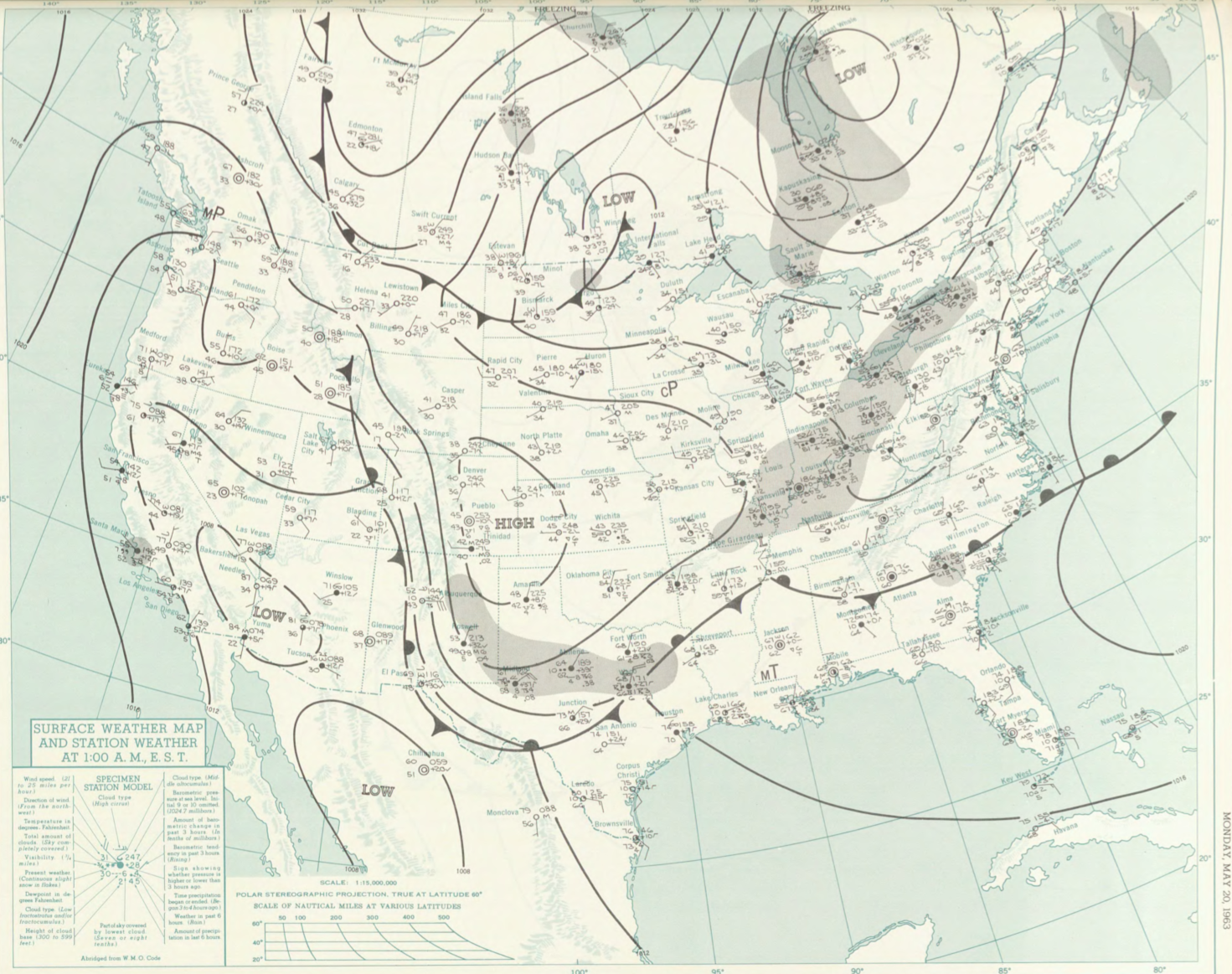
The Bradstreet, MA F2 tornado of May 20, 1963 impacted Worcester County in Massachusetts. According to NOAA (2019), the F2 tornado caused no fatalities or injuries, but caused $25 thousand dollars in property damage. The tornado touched down in Worcester County near Main Street at 4:10 pm EDT. The tornado travelled for 3.8 miles and had a maximum width of 17 yards.
Sources
NOAA Central Library. (2019). U.S. Daily Weather Maps. Monday May 20, 1963 [PDF]. Retrieved from https://library.noaa.gov/Collections/Digital-Collections/US-Daily-Weather-Maps
NOAA National Centers for Environmental Information (2019). Storm Events Database. Retrieved from: https://www.ncdc.noaa.gov/stormevents/