

Several witnesses captured photos and video of this tornado, a large funnel with a debris plume at its base that occasionally condensed all the way to the ground. It struck at about 7:00 pm, just north of London, and had a path that was 3.2km long and 50m wide. The tornado downed trees, caused damage to crops, and tore the roof and some walls off of a large pig barn. It is possible that this tornado was underrated by Environment Canada; aerial footage along the damage path showed the scattered remains the the destroyed barn, indicative of damage that may well have met the threshold for an F1 rating.
Figure 1 depicts the surface observations at 5:00 pm EDT, which shows a cold front in Michigan, approaching Ontario. An outflow boundary is also observed over the Niagara Peninsula. Forcing from the approaching cold front, combined with local interactions, led to thunderstorm development across southern Ontario, which ultimately led to this F0 tornado.
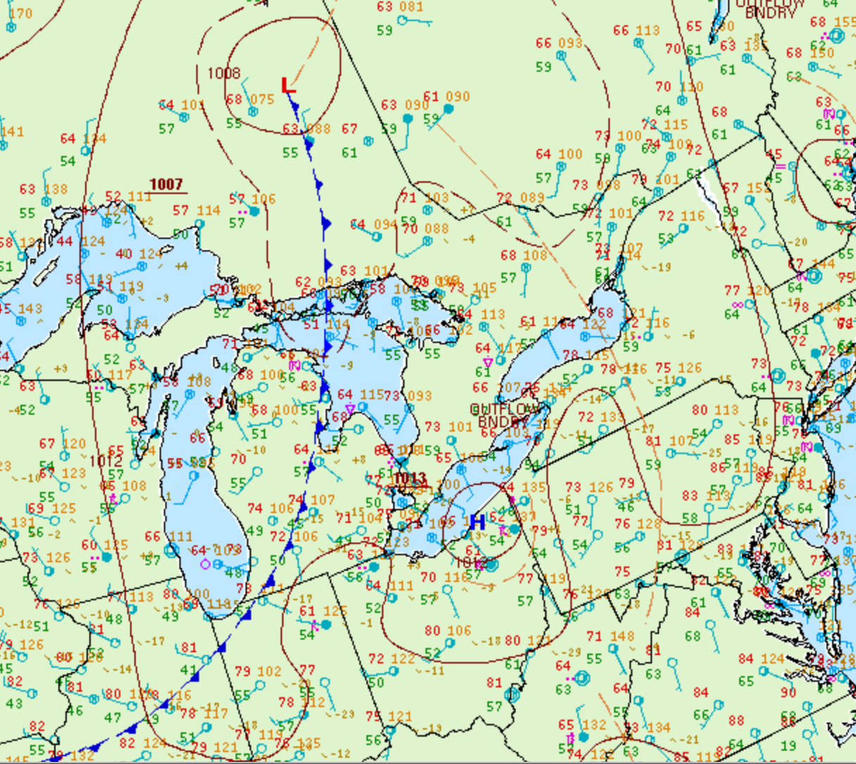
According to Environment and Climate Change Canada (2018), an F0 tornado touched down at 7:00 pm near Bryanston, ON. The tornado travelled for 3.18 km and had a maximum width of 50 metres. The tornado caused no fatalities , injuries or property damage.
Sources
NWS Weather Prediction Center Surface Analysis Archive. (2017). Surface analysis 21Z Sun Jun 22 2008. Retrieved from: https://www.wpc.ncep.noaa.gov/archives/web_pages/sfc/sfc_archive.php
Environment and Climate Change Canada Data. (2018). Canadian National Tornado Database: Verified Events (1980-2009) – Public. Retrieved from: http://donnees.ec.gc.ca/data/weather/products/canadian-national-tornado-database-verified-events-1980-2009-public/