

Travelling for 2 kilometres and with a width of 200 to 300 metres, the tornado caused extensive tree damage. In addition, a barn roof was damaged and a sheet metal shed was destroyed.
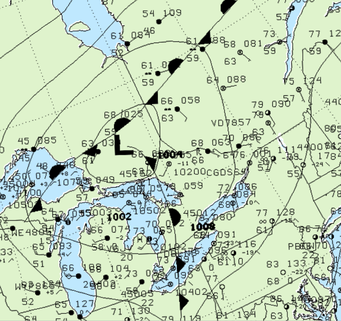
Figure 1 depicts the surface observations at 2:00 pm EDT, which shows a low pressure system in central Ontario with a cold front sweeping across southern Ontario. This front became the focus of intense thunderstorms in the afternoon hours of August 10th, which ultimately led to this F1 tornado.
According to Environment and Climate Change Canada (2018), an F1 tornado touched down at 4:00 pm near Burnstown, ON. The tornado travelled for 2 km with a maximum width of 300 metres. The tornado caused no fatalities or injuries and the property damage was not documented by ECCC.
Sources
NWS Weather Prediction Center Surface Analysis Archive. (2017). Surface analysis 18Z Tue Aug 10 2004. Retrieved from: https://www.wpc.ncep.noaa.gov/archives/web_pages/sfc/sfc_archive.php
Environment and Climate Change Canada Data. (2018). Canadian National Tornado Database: Verified Events (1980-2009) – Public. Retrieved from: http://donnees.ec.gc.ca/data/weather/products/canadian-national-tornado-database-verified-events-1980-2009-public/