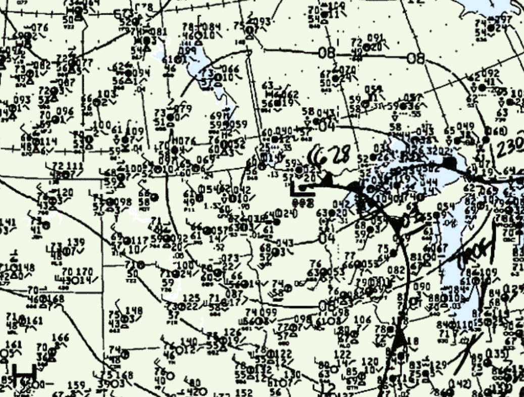
Figure 1 shows the surface observations at 1:00 pm CDT, which shows an occluding low pressure over northern Minnesota. This low brought northerly flow across southern Manitoba, which likely induced lake-breeze boundaries (LBB) south of Lake Manitoba. These LBB were likely the cause of initiating storms in the afternoon hours of June 17th, which ultimately led to three tornadoes across southern Manitoba:

According to Environment and Climate Change Canada (2018), an F0 tornado touched down at 5:00 pm CDT near Carman, MB. The track and width of the tornado was not documented by ECCC. The tornado caused no fatalities, injuries or property damage.
Sources
NWS Weather Prediction Center Surface Analysis Archive. (2017). Surface analysis 18Z Sun Jun 17 1990. Retrieved from: https://www.wpc.ncep.noaa.gov/archives/web_pages/sfc/sfc_archive.php
Environment and Climate Change Canada Data. (2018). Canadian National Tornado Database: Verified Events (1980-2009) – Public. Retrieved from: http://donnees.ec.gc.ca/data/weather/products/canadian-national-tornado-database-verified-events-1980-2009-public/

