

This damaging F1 tornado touched down just to the west of Coboconk and tracked across the north end of the village, at the south end of Silver Lake. It struck at about 2:30 pm and had a path that was 3.3 km long, dissipating just before it reached Four Mile Lake.
Extensive damage occurred along Shadow Lake Road 53, where an entire swath of forest was decimated; almost all trees in this area were twisted, snapped and in some cases, thrown. A car passing through the area, a Mercedes Benz with two occupants inside, was reportedly picked up and ‘slammed into the ground’. Although the car suffered extensive damage, neither the driver nor the passenger suffered injuries.
Next the the tornado tracked across the south end of Silver Lake, where cottagers captured photos and videos. Its parent storm exhibited the appearance of a classic tornadic supercell, with a sculpted horseshoe updraft base, clear slot, and large bowled wall cloud with a cone tornado. As it crossed the lake, small vortices of spray spun violently up from the surface of the water and the tornado appeared ghostly white, front-lit by the afternoon sun.
On the shores of the lake the tornado destroyed more areas of forest and also struck a number of cottages; windows were shattered and roofing torn off, and many were many were struck by falling trees.
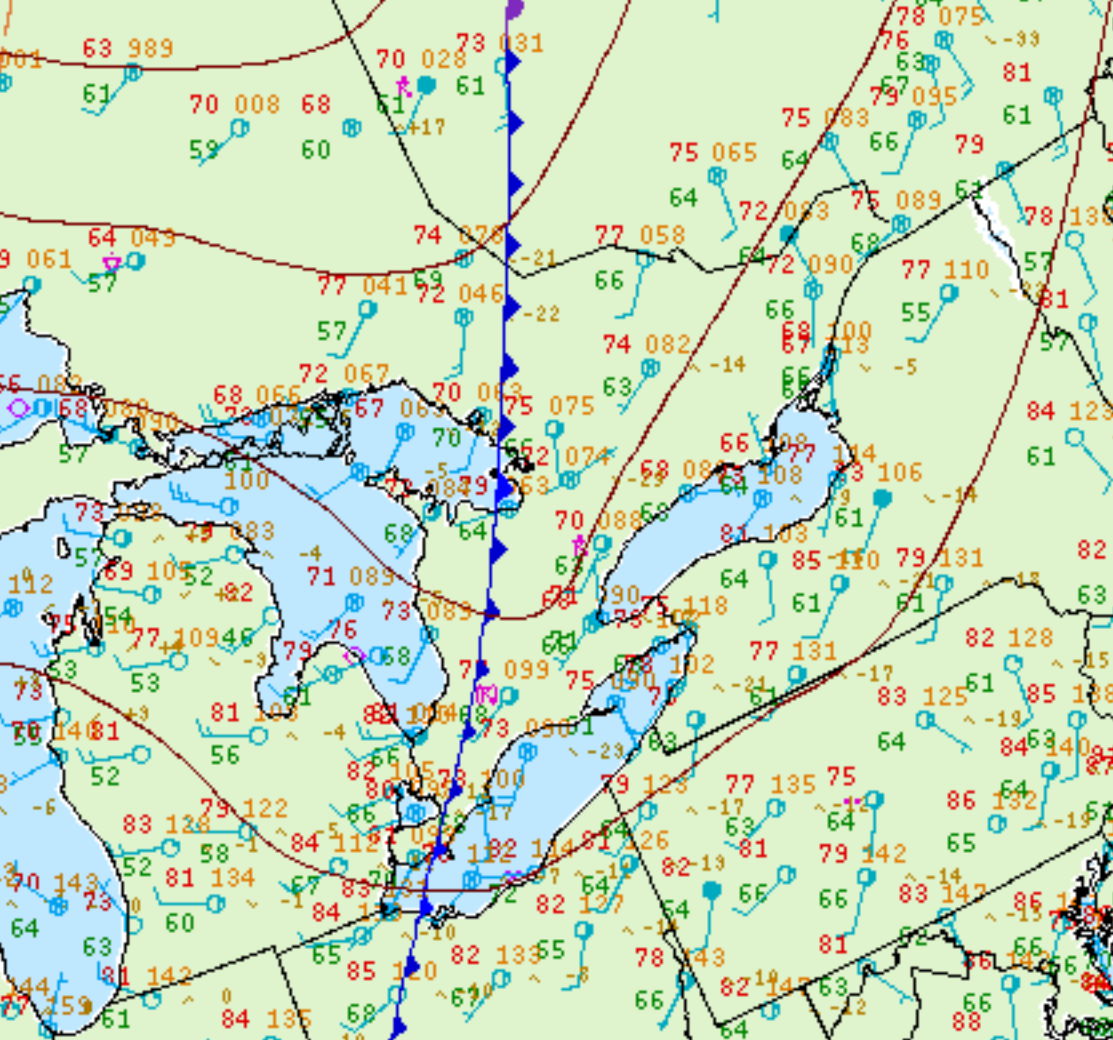
Figure 1 depicts the surface observations at 2:00 pm EDT, which shows a cold front slicing through southern Ontario. This cold front became the focus of intense thunderstorms across southern Ontario, one of which ultimately led to this F1 tornado.
According to Environment and Climate Change Canada (2018), an F1 tornado touched down at 2:30 pm near Coboconk, ON. The tornado travelled for 3.3 km, but its width was not documented by ECCC. The tornado caused no fatalities, injuries or property damage.
Sources
NWS Weather Prediction Center Surface Analysis Archive. (2017). Surface analysis 18Z Sat Jul 26 2008. Retrieved from: https://www.wpc.ncep.noaa.gov/archives/web_pages/sfc/sfc_archive.php
Environment and Climate Change Canada Data. (2018). Canadian National Tornado Database: Verified Events (1980-2009) – Public. Retrieved from: http://donnees.ec.gc.ca/data/weather/products/canadian-national-tornado-database-verified-events-1980-2009-public/