

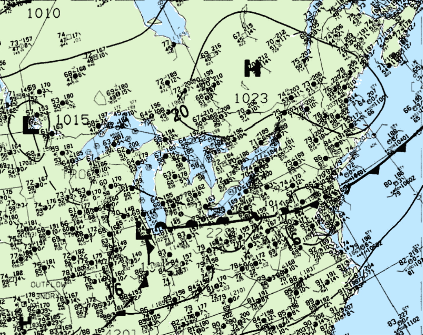
This probable tornado was confirmed by Environment Canada as an F0 tornado. Figure 1 depicts the surface observations at 1:00 pm CDT, which depicts a low pressure system in the extreme southeastern Manitoba corner. This low pressure brought southerly flow into northwestern Ontario.
While not substantial, vertical lift promoted pop-up thunderstorms throughout the afternoon. The setup and location of this tornado leads us to believe that this was likely a landspout tornado.
According to Environment and Climate Change Canada (2018), an F0 tornado touched down at 2:45 pm EDT near Devlin, ON. The track and width of the tornado was not documented by ECCC. The tornado caused no fatalities, injuries or property damage.
Source
NWS Weather Prediction Center Surface Analysis Archive. (2017). Surface analysis 18Z Thu Jul 14 1994. Retrieved from: https://www.wpc.ncep.noaa.gov/archives/web_pages/sfc/sfc_archive.php
Environment and Climate Change Canada Data. (2018). Canadian National Tornado Database: Verified Events (1980-2009) – Public. Retrieved from: http://donnees.ec.gc.ca/data/weather/products/canadian-national-tornado-database-verified-events-1980-2009-public/