

Figure 1 depicts the surface observations at 8:00 am EDT, which shows a large area of high pressure across the Midwest United States and a low pressure on the east coast with a stationary front extending into the ocean. The stationary front likely triggered thunderstorms to its north, across Massachusetts, which ultimately led to this tornado.

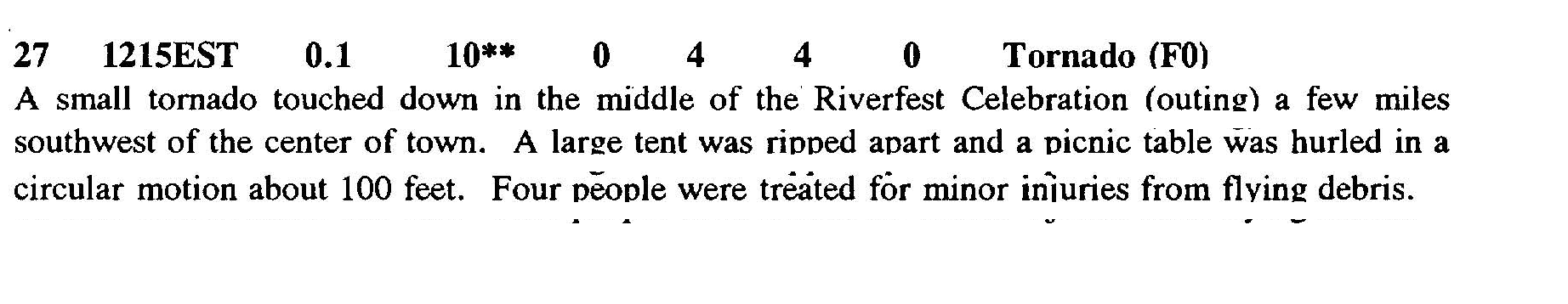
The Forge Hill, MA F0 tornado of June 27, 1992 impacted Franklin County in Massachusetts. According to NOAA (2019), the F0 tornado caused no fatalities, but injured 4 people and caused $25 thousand dollars in property damage. The tornado touched down near W Hawley Road at 12:15 pm EDT. The tornado travelled for 0.1 mile and had a maximum width of 10 yards.
Sources
NOAA Central Library. (2020). U.S. Daily Weather Maps. Saturday June 27, 1992 [PDF]. Retrieved from https://library.noaa.gov/Collections/Digital-Collections/US-Daily-Weather-Maps
NOAA National Centers for Environmental Information (2020). Storm Events Database. Retrieved from: https://www.ncdc.noaa.gov/stormevents/