

The Forecast
![[GIF]](https://highwaysandhailstones.com/wp-content/uploads/2020/05/200506111829.gif)
Figure 2 depicts the 500mb chart of conditions at 7:00 pm CDT (five minutes before the Birtle tornado). In Figure 2, we can see an upper-level trough ejecting into western Canada, sitting on the British Columbia/Alberta border. This would mean prevailing westerlies for Saskatchewan and Manitoba.
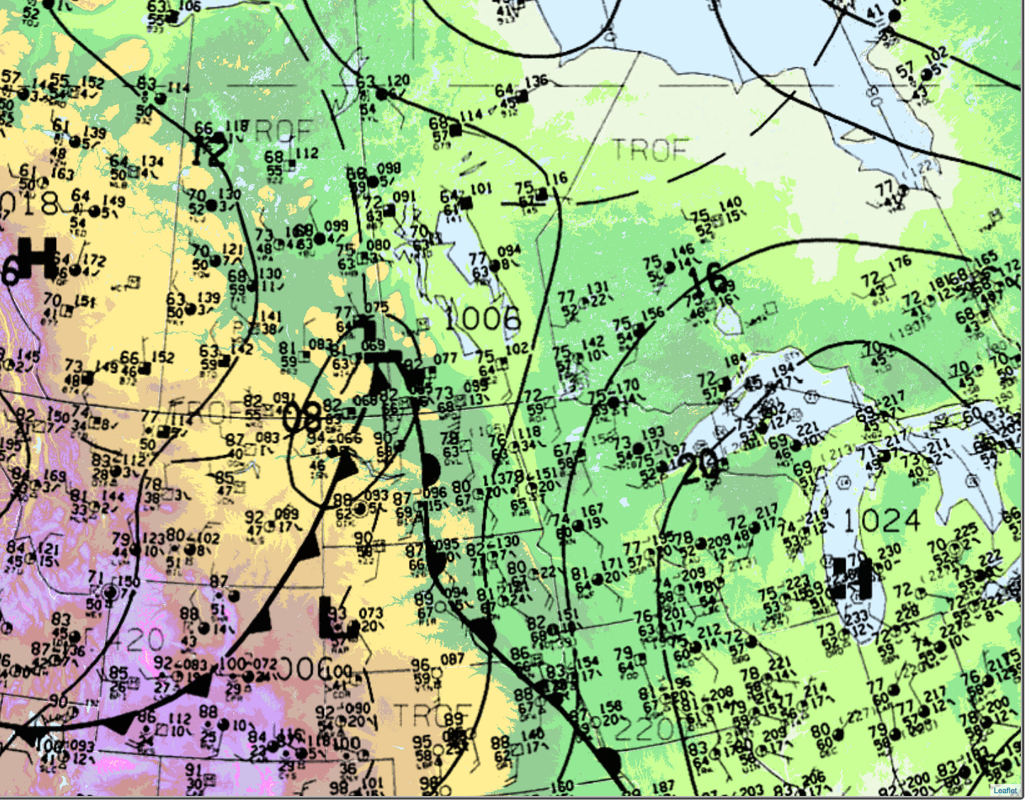
Figure 3 depicts the surface analysis at 4:00 pm CDT. A strong low pressure is seen ejecting north and sitting on the Saskatchewan/Manitoba border, with its associated cold front all the way into Wyoming. A warm front is seen extending from the Southern Plains into southwestern Manitoba.
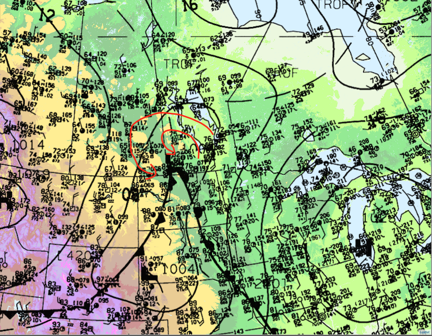
Figure 4 depicts the surface analysis at 7:00 pm CDT or five minutes prior to the F4 tornado. In Figure 4, we can see the low pressure is now in extreme southwestern Manitoba. I have drawn surface flow, which rotates in a counterclockwise fashion around the low pressure (red arrows). This flow, combined with local terrain interactions, most likely enhanced low-level shear in western Manitoba (Westman). Birtle sits just to the east of the Manitoba Escarpment, which is higher in topology than the surrounding plains. This counterclockwise flow would have pooled against the escarpment in a manner that we refer to as orographic lift. This is common in mountain chains such as the Rocky Mountains, but the Manitoba Escarpment has also been referenced to initiate and/or enhance local convection (Hobson, 2011). These factors likely contributed to the several tornadoes that were reported and the strong Birtle, MB F4 tornado.
According to Environment and Climate Change Canada (2018), an F1 tornado touched down at 6:50 pm CDT near Foxwarren, MB. The tornado travelled for 7.63 km, but the maximum width was not documented by ECCC. The tornado caused no fatalities, injuries or property damage.
Sources
NWS Weather Prediction Center Surface Analysis Archive. (2017). Surface analysis 21Z Fri Jun 10 1994. Retrieved from: https://www.wpc.ncep.noaa.gov/archives/web_pages/sfc/sfc_archive.php
Environment and Climate Change Canada Data. (2018). Canadian National Tornado Database: Verified Events (1980-2009) – Public. Retrieved from: http://donnees.ec.gc.ca/data/weather/products/canadian-national-tornado-database-verified-events-1980-2009-public/
Hobson, J. J. (2011). Meteorological Analysis of the 22 June 2007 F5 Tornado in Elie, Manitoba (unpublished master’s thesis). University of Manitoba, Winnipeg, Manitoba, Canada