

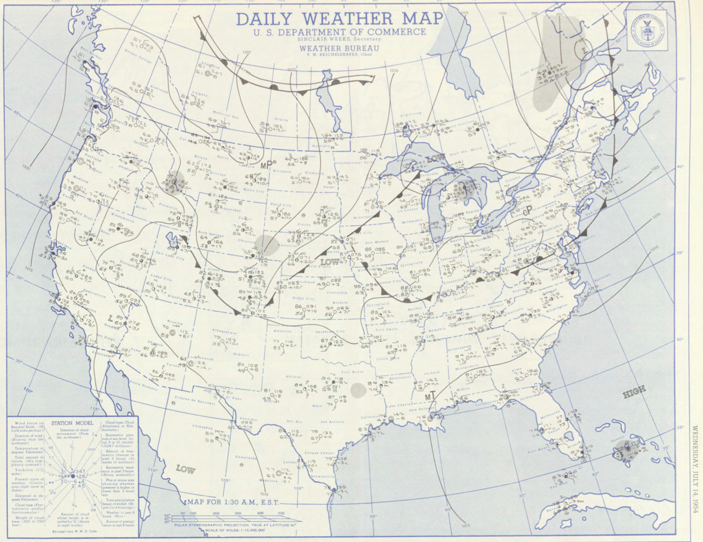
Figure 1 depicts the surface observations at 2:30 am EDT, which shows a cold front off the northeast coast of the United States.
The Griswoldville, MA F1 tornado of July 14, 1954 impacted Franklin County in Massachusetts. According to NOAA (2019), the F1 tornado caused no fatalities or injuries, but caused $2.5 thousand dollars in property damage. The tornado touched down in Franklin County west of Adamsville Road at 7:50 pm EDT. The tornado travelled for 1.3 miles and had a maximum width of 33 yards.
Sources
NOAA Central Library. (2019). U.S. Daily Weather Maps. Wednesday July 14, 1954 [PDF]. Retrieved from https://library.noaa.gov/Collections/Digital-Collections/US-Daily-Weather-Maps
NOAA National Centers for Environmental Information (2019). Storm Events Database. Retrieved from: https://www.ncdc.noaa.gov/stormevents/