

Figure 1 depicts the surface observations at 6:00 am EDT, which shows a cold front moving through the Great Lakes. This front eventually moved east toward Massachusetts and became the focus for thunderstorms in the evening hours of July 1st, 1968.
The Hampton Beach, MA F1 tornado of July 1, 1968 impacted Essex County in Massachusetts. According to NOAA (2019), the F1 tornado caused no fatalities, but injured one person and caused $250 thousand dollars in property damage. The tornado touched down over the water near Hampton Beach at 9:00 pm EDT. The tornado travelled for 0.3 miles and had a maximum width of 100 yards.
Sources
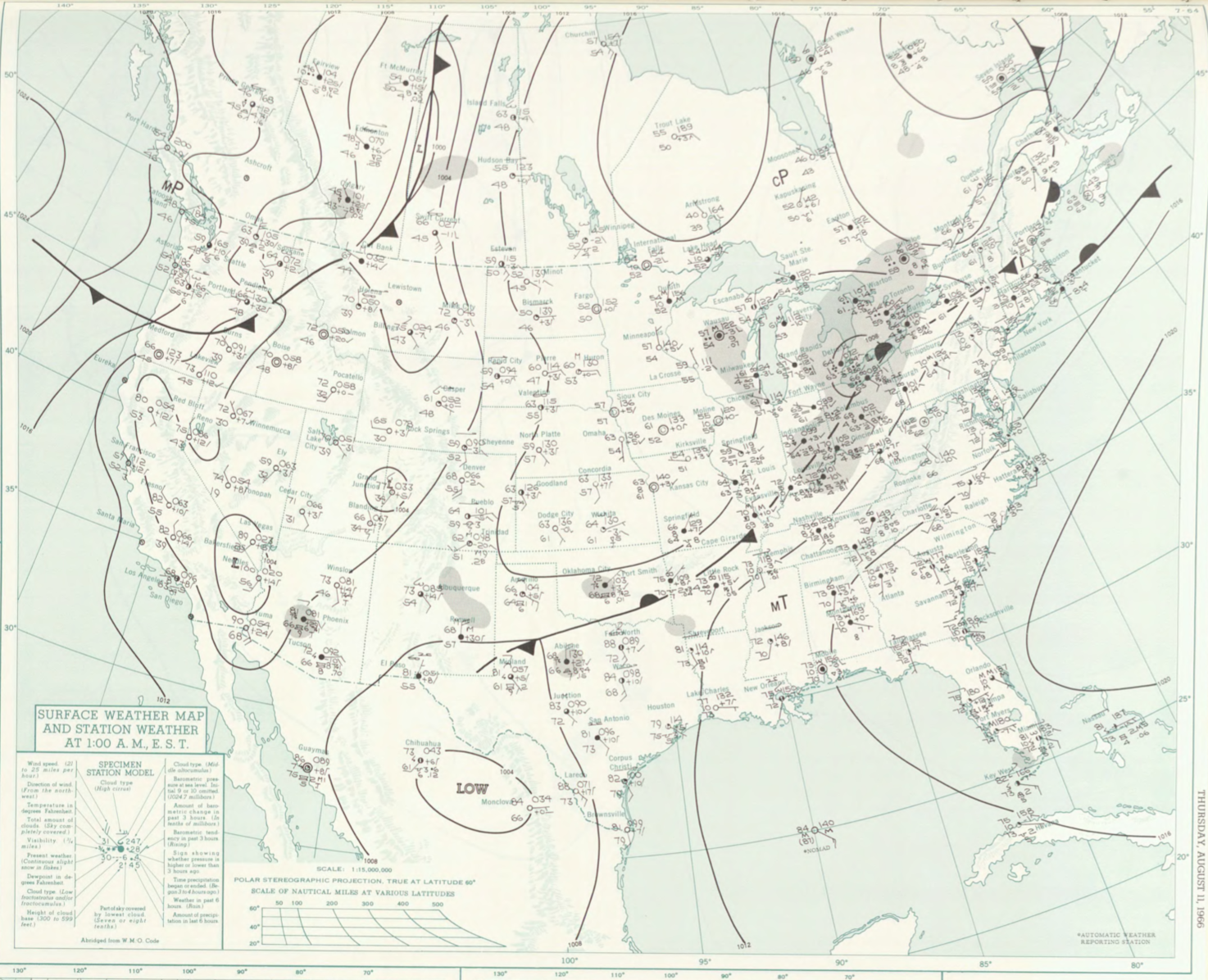
NOAA Central Library. (2019). U.S. Daily Weather Maps. Thursday August 11, 1966 [PDF]. Retrieved from https://library.noaa.gov/Collections/Digital-Collections/US-Daily-Weather-Maps
NOAA National Centers for Environmental Information (2019). Storm Events Database. Retrieved from: https://www.ncdc.noaa.gov/stormevents/